Beccamoor Plantation
Wood, Forest in Yorkshire
England
Beccamoor Plantation
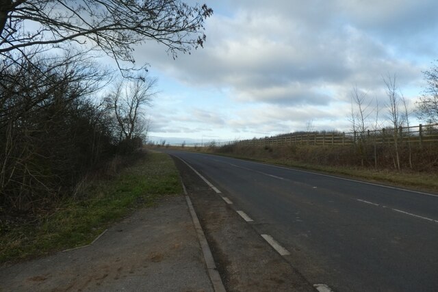
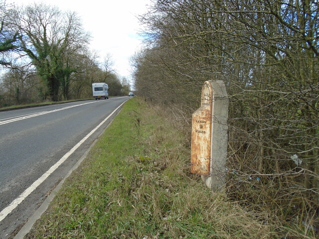
![A remnant of the old A1 This dead end road at the northern end of Aberford village marks a previous line of the A1, which passed through the village centre until 1963 when the by-pass was constructed. This in turn has been widened and upgraded to a six lane motorway [8 lanes in places past the village] which is the A1(M).](https://s3.geograph.org.uk/geophotos/07/05/64/7056467_d2cf0a01.jpg)
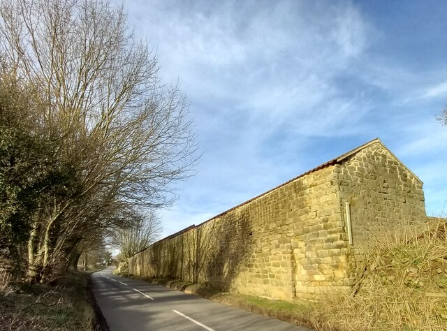
Beccamoor Plantation is a picturesque woodland located in the county of Yorkshire, England. Situated near the town of Beccamoor, this expansive and verdant forest covers an area of approximately 500 acres. It is a cherished natural treasure within the region, attracting both locals and tourists alike.
The plantation is characterized by its dense and diverse tree population, including towering oak, ash, beech, and birch trees, among many others. These majestic trees create a lush canopy that provides shade and shelter to an array of wildlife species that call the plantation home. It is not uncommon to spot deer, foxes, squirrels, and a variety of bird species within the woodland's boundaries.
Visitors to Beccamoor Plantation can enjoy a network of well-maintained walking trails that meander through the forest, allowing them to immerse themselves in the tranquil surroundings. These trails cater to all levels of fitness, from leisurely strolls to more challenging hikes, providing opportunities for everyone to explore and appreciate the natural beauty of the area.
Additionally, the plantation offers dedicated picnic areas, perfect for enjoying a packed lunch or simply taking a break amidst nature. The peaceful atmosphere and stunning scenery make it an ideal location for families, nature enthusiasts, and photographers.
Beccamoor Plantation, with its rich biodiversity and captivating landscapes, stands as a testament to the importance of preserving and appreciating the natural wonders of Yorkshire.
If you have any feedback on the listing, please let us know in the comments section below.
Beccamoor Plantation Images
Images are sourced within 2km of 53.850331/-1.366181 or Grid Reference SE4139. Thanks to Geograph Open Source API. All images are credited.


Beccamoor Plantation is located at Grid Ref: SE4139 (Lat: 53.850331, Lng: -1.366181)
Division: West Riding
Unitary Authority: Leeds
Police Authority: West Yorkshire
What 3 Words
///offstage.tummy.taps. Near Aberford, West Yorkshire
Nearby Locations
Related Wikis

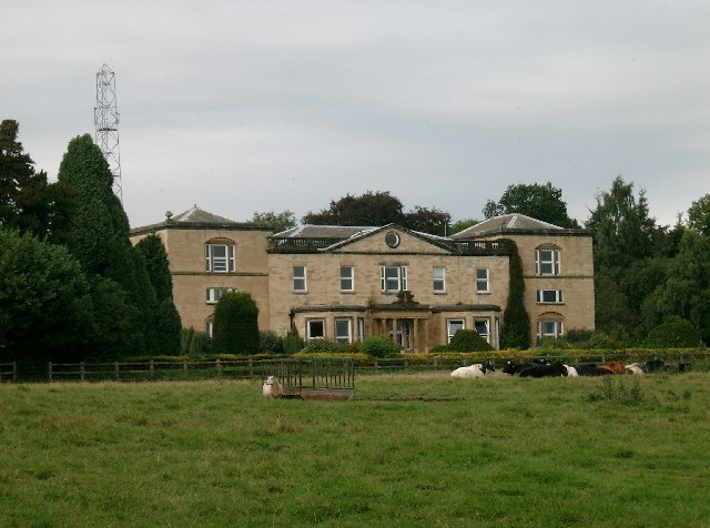
Becca Hall
Becca Hall is a country residence situated in Aberford, Leeds, West Yorkshire, Yorkshire, at OS grid reference Lat.53:50:35N Lon.1:22:08W. It is situated...

Aberford Dykes
The Aberford Dykes are a series of archaeological monuments located around the valley of the Cock Beck, where it runs just north of the village of Aberford...

Potterton, West Yorkshire
Potterton is a hamlet 1 mile (1.5 km) north of Barwick-in-Elmet in City of Leeds, West Yorkshire, England. It falls within the Harewood ward of the Leeds...

Battle of Seacroft Moor
The Battle of Seacroft Moor took place in Whinmoor moor near the village of Seacroft, north-east of Leeds in West Riding on 30 March 1643 during the First...
Nearby Amenities
Located within 500m of 53.850331,-1.366181Have you been to Beccamoor Plantation?
Leave your review of Beccamoor Plantation below (or comments, questions and feedback).