Warmington Fox Covert
Wood, Forest in Warwickshire Cherwell
England
Warmington Fox Covert

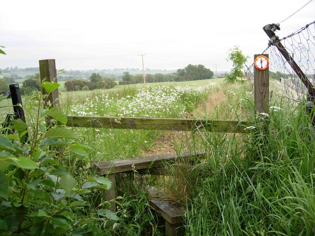
Warmington Fox Covert is a woodland area located in Warwickshire, England. It is situated in the village of Warmington, near the town of Banbury. The covert is a part of the larger Warmington Wood, which covers an area of about 200 acres.
The woodland is predominantly composed of mixed deciduous trees, including oak, ash, beech, and birch. These trees create a dense canopy, providing shade and shelter for a variety of wildlife. The forest floor is covered in a thick layer of leaf litter and moss, creating a rich and fertile environment for plant growth.
Warmington Fox Covert is home to a diverse range of animal species. Small mammals such as foxes, badgers, and squirrels can be found here, along with a variety of bird species including woodpeckers, owls, and thrushes. The woodland also provides a habitat for several species of insects and invertebrates.
The covert is a popular destination for nature enthusiasts and walkers who enjoy exploring the peaceful and tranquil surroundings. There are several well-marked footpaths that wind through the woodland, providing visitors with the opportunity to observe and appreciate the natural beauty of the area.
Overall, Warmington Fox Covert is a picturesque woodland area in Warwickshire, offering a serene escape from the hustle and bustle of urban life. Its diverse ecosystem and scenic landscapes make it an ideal location for nature lovers and those seeking a peaceful retreat in the heart of the English countryside.
If you have any feedback on the listing, please let us know in the comments section below.
Warmington Fox Covert Images
Images are sourced within 2km of 52.118243/-1.3911439 or Grid Reference SP4146. Thanks to Geograph Open Source API. All images are credited.


Warmington Fox Covert is located at Grid Ref: SP4146 (Lat: 52.118243, Lng: -1.3911439)
Administrative County: Oxfordshire
District: Cherwell
Police Authority: Thames Valley
What 3 Words
///snapper.drops.obviously. Near Farnborough, Warwickshire
Nearby Locations
Related Wikis

National Herb Centre
The National Herb Centre is a herbarium and garden centre located in Warmington, Warwickshire, England. The centre was opened in 1997 by Peter Turner...
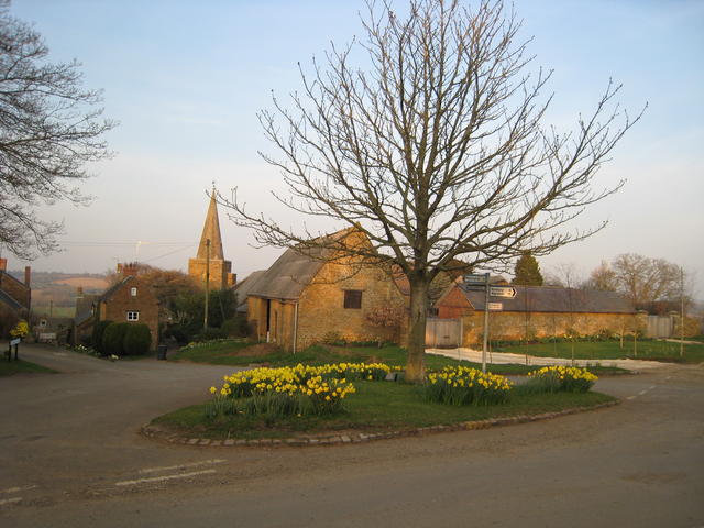
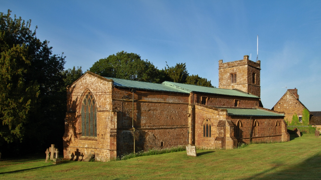
Warmington, Warwickshire
Warmington is a village and civil parish in the Stratford-on-Avon district of Warwickshire, England. It is located on the border with Oxfordshire, around...
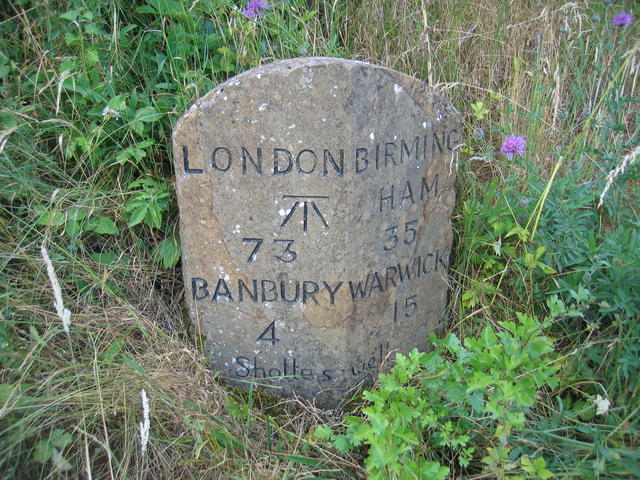
Shotteswell
Shotteswell is a village and civil parish in the Stratford-on-Avon district of Warwickshire. The population of the civil parish at the 2011 census was...
Mollington, Oxfordshire
Mollington is a village and civil parish about 4 miles (6.4 km) north of Banbury in Oxfordshire, England. The 2011 Census recorded the parish's population...
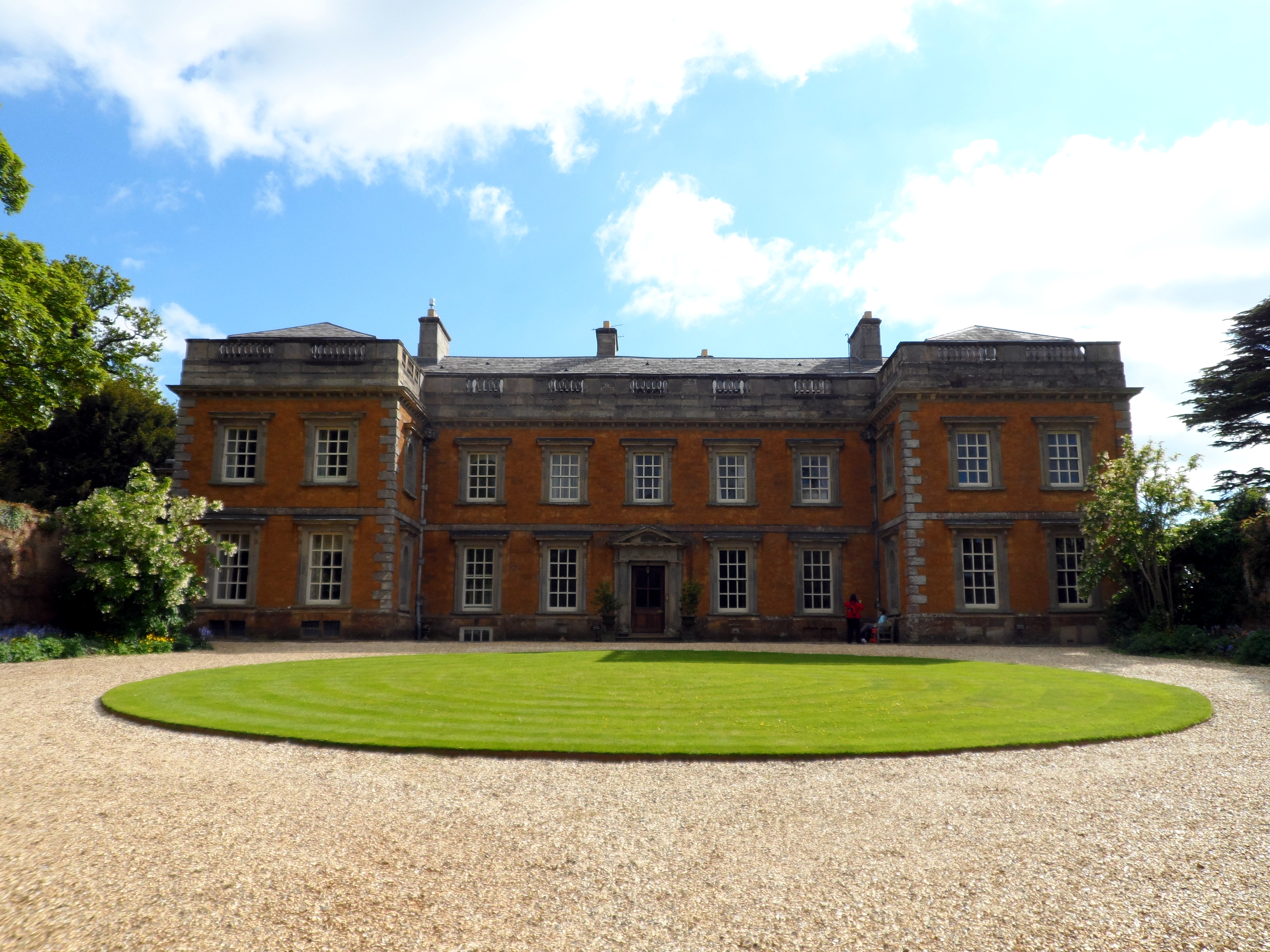
Farnborough Hall
Farnborough Hall is a country house in Warwickshire, England near to the town of Banbury, (grid reference SP4349). Owned by the National Trust, but administered...
Farnborough Rural District
Farnborough was a rural district in Warwickshire, England from 1894 to 1932. It was formed from that part of the Banbury rural sanitary district which...
Horley, Oxfordshire
Horley is a village and civil parish in the north of Oxfordshire about 3 miles (5 km) north-west of Banbury. == Amenities == Horley has one public house...

Hornton
Hornton is a village and civil parish about 3 miles (5 km) northwest of Banbury in Oxfordshire. == Churches == The oldest parts of the Church of England...
Have you been to Warmington Fox Covert?
Leave your review of Warmington Fox Covert below (or comments, questions and feedback).