Boathouse Walk Plantation

Wood, Forest in Leicestershire North West Leicestershire

England

Boathouse Walk Plantation

The River Trent near Weston-on-Trent Seen from the Trent & Mersey canal, which runs much closer to the village than the river does.
The River Trent near Weston-on-Trent Credit: Christine Johnstone

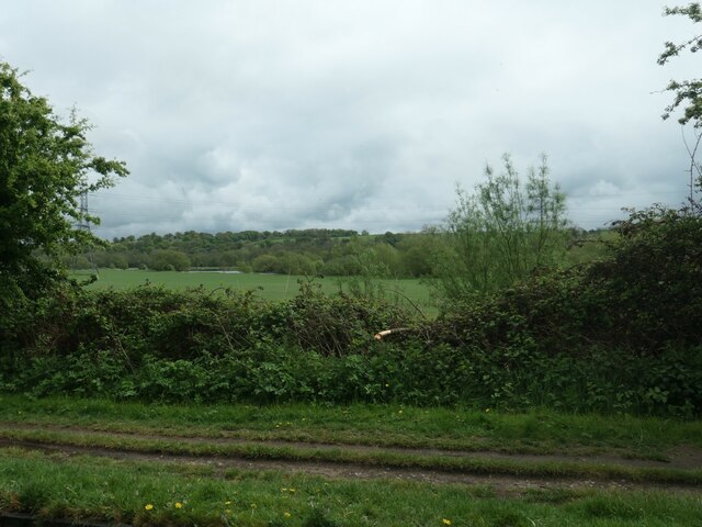
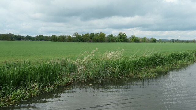
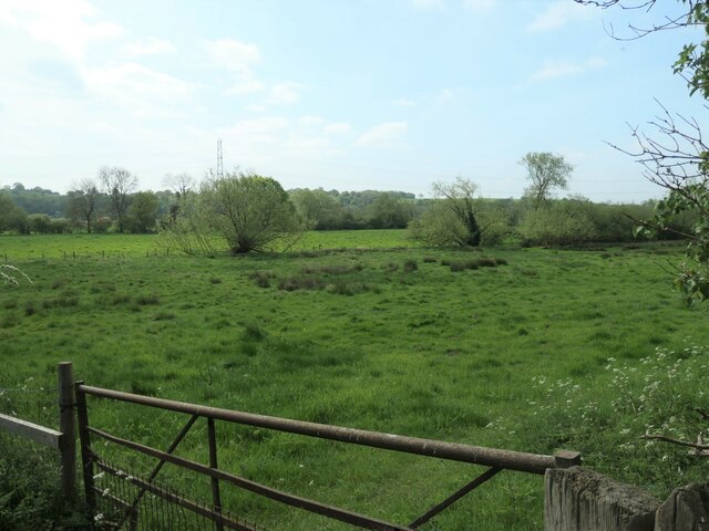
Boathouse Walk Plantation, located in Leicestershire, is a picturesque woodland area that offers a serene and tranquil environment for visitors. Spread across a sprawling area, this plantation is known for its dense forest cover, making it a haven for nature enthusiasts and hikers alike.

The plantation is characterized by its diverse range of trees, including oak, beech, and pine, which provide a rich canopy and create a soothing atmosphere. As visitors walk through the plantation, they are greeted by a well-maintained pathway, known as Boathouse Walk, which meanders through the woods, offering stunning views of the surrounding landscape.

Boathouse Walk Plantation is not only a haven for flora, but it also provides a habitat for numerous wildlife species. Birdwatchers can spot a variety of birds, such as woodpeckers and songbirds, while lucky visitors may even catch a glimpse of squirrels, rabbits, or deer.

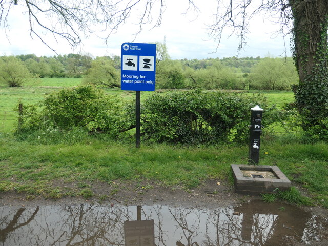
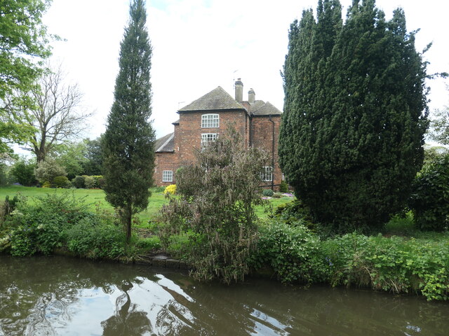
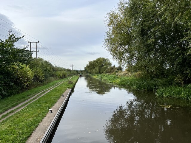
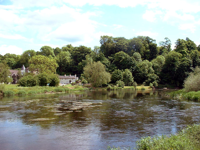
The plantation also features a boathouse, which adds to its charm and provides a perfect spot for relaxation and picnics. Visitors can enjoy the serene waters of the adjacent lake, surrounded by the lush greenery of the plantation.

For those seeking outdoor activities, Boathouse Walk Plantation offers several walking and cycling trails, allowing visitors to explore the area at their own pace. The plantation is also a popular spot for photography enthusiasts, thanks to its scenic beauty and abundant natural light.

Overall, Boathouse Walk Plantation in Leicestershire is a true gem for nature lovers, offering a peaceful retreat amidst the beauty of woodlands and forests.

If you have any feedback on the listing, please let us know in the comments section below.

Boathouse Walk Plantation Images

Images are sourced within 2km of 52.841686/-1.382786 or Grid Reference SK4127. Thanks to Geograph Open Source API. All images are credited.
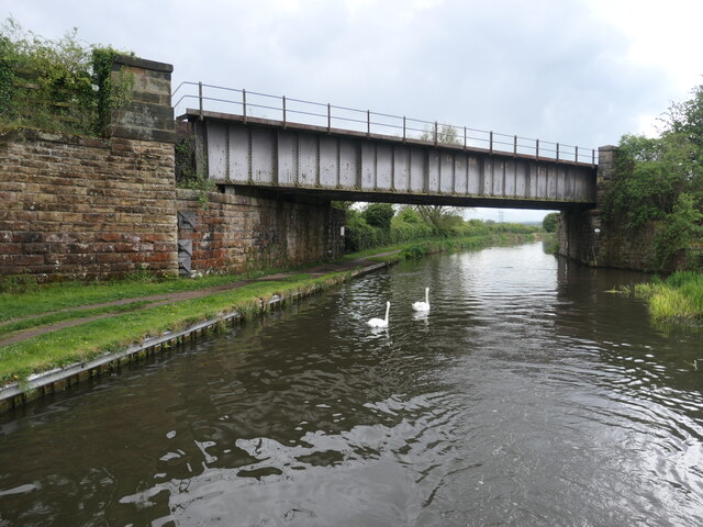
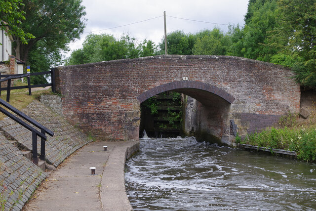
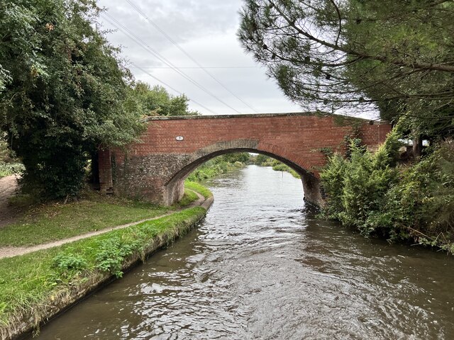
The River Trent near Weston-on-Trent Seen from the Trent & Mersey canal, which runs much closer to the village than the river does.
The River Trent near Weston-on-Trent
Seen from the Trent & Mersey canal, which runs much closer to the village than the river does.
Paddocks, Weston-on-Trent On the north bank of the Trent & Mersey canal.
Paddocks, Weston-on-Trent
On the north bank of the Trent & Mersey canal.
Water point, Weston Lock, Trent & Mersey canal Where you can fill a boat's water tank.
Water point, Weston Lock, Trent & Mersey canal
Where you can fill a boat's water tank.
Trees on a former field boundary On the north bank of the Trent & Mersey canal, just east of Weston-on-Trent.
Trees on a former field boundary
On the north bank of the Trent & Mersey canal, just east of Weston-on-Trent.
Willow on the bank of the Trent & Mersey canal Not yet a hazard to boaters.
Willow on the bank of the Trent & Mersey canal
Not yet a hazard to boaters.
Bridge 7B, Trent & Mersey canal A railway bridge, east of Weston-on-Trent.
Bridge 7B, Trent & Mersey canal
A railway bridge, east of Weston-on-Trent.
Cow Pasture Bridge [no 7], from the east Carrying a bridleway over the Trent & Mersey canal.
Cow Pasture Bridge [no 7], from the east
Carrying a bridleway over the Trent & Mersey canal.
Weston Grange On the canal bank, east of Weston-on-Trent.  This may be the site of a medieval grange of Chester Abbey. The house is at the south corner of a farmyard, which it was separated from in 1980.
Weston Grange
On the canal bank, east of Weston-on-Trent. This may be the site of a medieval grange of Chester Abbey. The house is at the south corner of a farmyard, which it was separated from in 1980.
Birdcage Wood, from the south A small triangular wood on the boundary between Weston-on-Trent and Aston-on-Trent civil parishes.
Birdcage Wood, from the south
A small triangular wood on the boundary between Weston-on-Trent and Aston-on-Trent civil parishes.
Sheepfield, off Kings Mill Lane At the eastern edge of Weston-on-Trent.
Sheepfield, off Kings Mill Lane
At the eastern edge of Weston-on-Trent.
Willows along a drain, west of King's Mills Lane The flat and floodable floor of the Trent valley.
Willows along a drain, west of King's Mills Lane
The flat and floodable floor of the Trent valley.
Weston Lock The locks at the eastern end of the Trent & Mersey Canal are all broad, allowing widebeam vessels to travel up to Burton on Trent. Most of them are deep - in this case with a fall of 10ft 11in - making them slow to fill and empty with stiff paddles and heavy gates; they therefore tend to be unpopular with boaters. Here the lock is being emptied causing a lot of turbulence by the lock landing.
Weston Lock
The locks at the eastern end of the Trent & Mersey Canal are all broad, allowing widebeam vessels to travel up to Burton on Trent. Most of them are deep - in this case with a fall of 10ft 11in - making them slow to fill and empty with stiff paddles and heavy gates; they therefore tend to be unpopular with boaters. Here the lock is being emptied causing a lot of turbulence by the lock landing.
The Trent and Mersey Canal Looking towards Aston-on-Trent.
The Trent and Mersey Canal
Looking towards Aston-on-Trent.
The Trent and Mersey Canal Looking towards Aston-on-Trent.
The Trent and Mersey Canal
Looking towards Aston-on-Trent.
Bridge 7 on the Trent and Mersey Canal Near Weston Grange.
Bridge 7 on the Trent and Mersey Canal
Near Weston Grange.
Weston Grange From the Trent and Mersey Canal.
Weston Grange
From the Trent and Mersey Canal.
Bridge 9 on the Trent and Mersey Canal Known as Scotch Bridge. Grade II listed. Listing number 1205892. Canal bridge. 1770 by engineer James Brindley with minor later repairs.
Bridge 9 on the Trent and Mersey Canal
Known as Scotch Bridge. Grade II listed. Listing number 1205892. Canal bridge. 1770 by engineer James Brindley with minor later repairs.
Weston Road, Aston-on-Trent These are recognisably local authority built houses but they look substantial and have a pleasant location on the edge of the village.
Weston Road, Aston-on-Trent
These are recognisably local authority built houses but they look substantial and have a pleasant location on the edge of the village.
Show me another place!

Boathouse Walk Plantation is located at Grid Ref: SK4127 (Lat: 52.841686, Lng: -1.382786)

Administrative County: Leicestershire

District: North West Leicestershire

Police Authority: Leicestershire

What 3 Words

///acre.potential.shred. Near Aston-on-Trent, Derbyshire

Related Wikis

King's Mill, Castle Donington

King's Mill is the traditional crossing point of the River Trent between Castle Donington in Leicestershire and Weston-on-Trent in Derbyshire. The Mill...

Donington Park SSSI

Donington Park is a 32.9-hectare (81-acre) biological Site of Special Scientific Interest west of Castle Donington in Leicestershire. It is separate from...

Donington Hall

Donington Hall is a mansion house set in parkland near Castle Donington village, North West Leicestershire. The Hall and Estate was purchased in April...

Donington Park

Donington Park is a motorsport circuit located near Castle Donington in Leicestershire, England. The circuit business is now owned by Jonathan Palmer's...

Nearby Amenities

Located within 500m of 52.841686,-1.382786
Barrier: yes
Foot: unknown
Note: Low fence/railings
Lat/Long: 52.8434026/-1.3847198
The Priest House Hotel
Addr City: Derby
Addr Postcode: DE74 2RR
Addr Street: Park Lane
Events Venue: yes
Fhrs Id: 1557840
Old Fhrs Id: 861809;1285716
Tourism: hotel
Website: https://www.thepriesthouse.co.uk/
Wikidata: Q26643340
Lat/Long: 52.8432765/-1.3815149
Donington Nurseries
Addr City: Derby
Addr Postcode: DE74 2RS
Addr Street: Park Lane
Shop: garden_centre
Source: survey
Source Addr: website
Website: https://www.gardencentrederby.com/
Lat/Long: 52.8418074/-1.3761796
Kings Mills Caravan Park
Addr City: Derby
Addr Postcode: DE74 2RS
Addr Street: Park Lane
Alt Name: Kings Mills Caravan Park
Caravans: yes
Source Addr: website
Tents: yes
Tourism: caravan_site
Lat/Long: 52.8420745/-1.3775873
Note: Sign: 'End of bridleway'
Lat/Long: 52.8447123/-1.3831787
The data included in this document is from www.openstreetmap.org. The data is made available under ODbL.

Have you been to Boathouse Walk Plantation?

Leave your review of Boathouse Walk Plantation below (or comments, questions and feedback).