Cloud Wood
Wood, Forest in Leicestershire North West Leicestershire
England
Cloud Wood
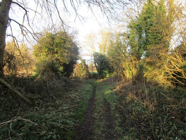
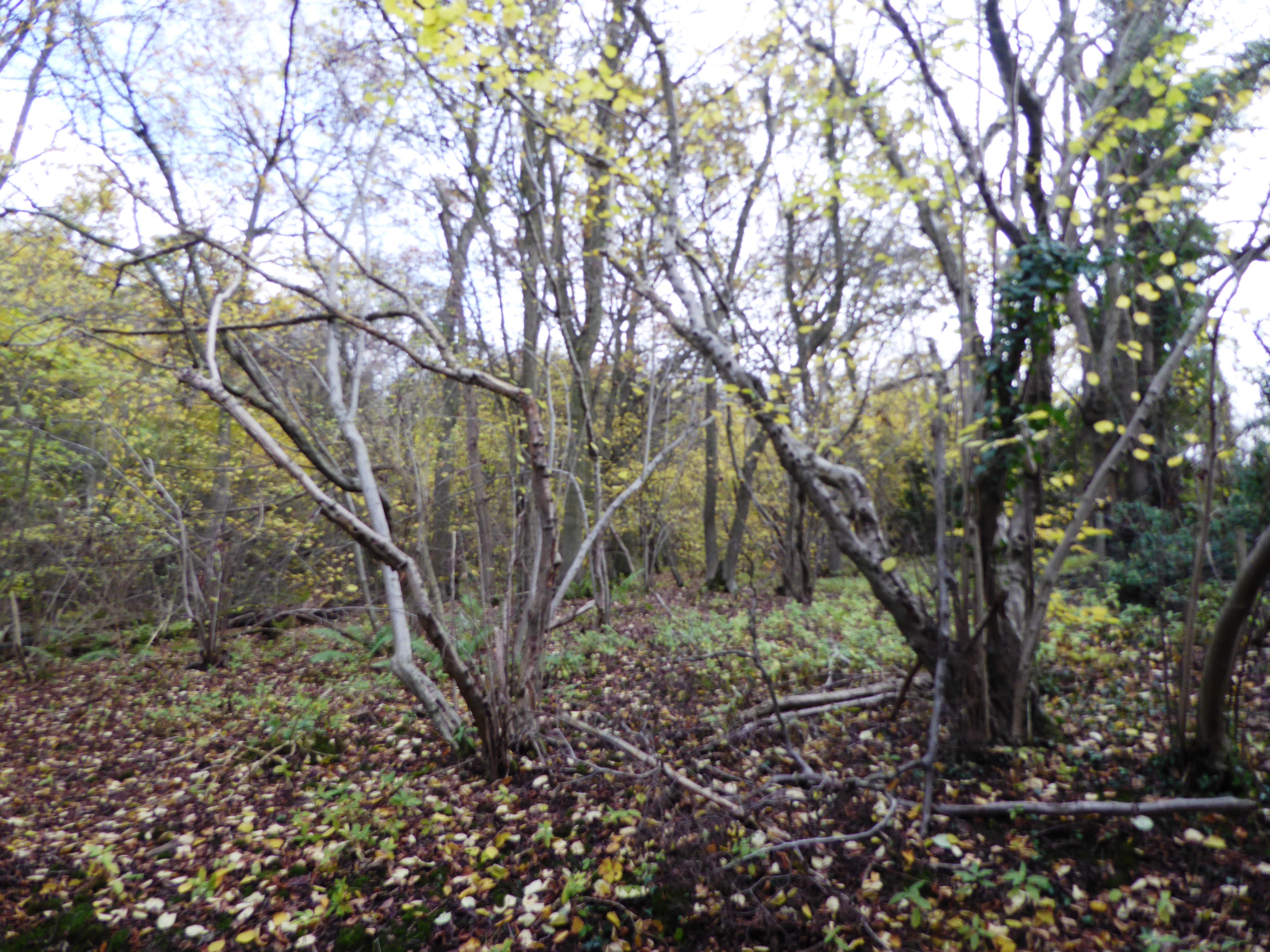
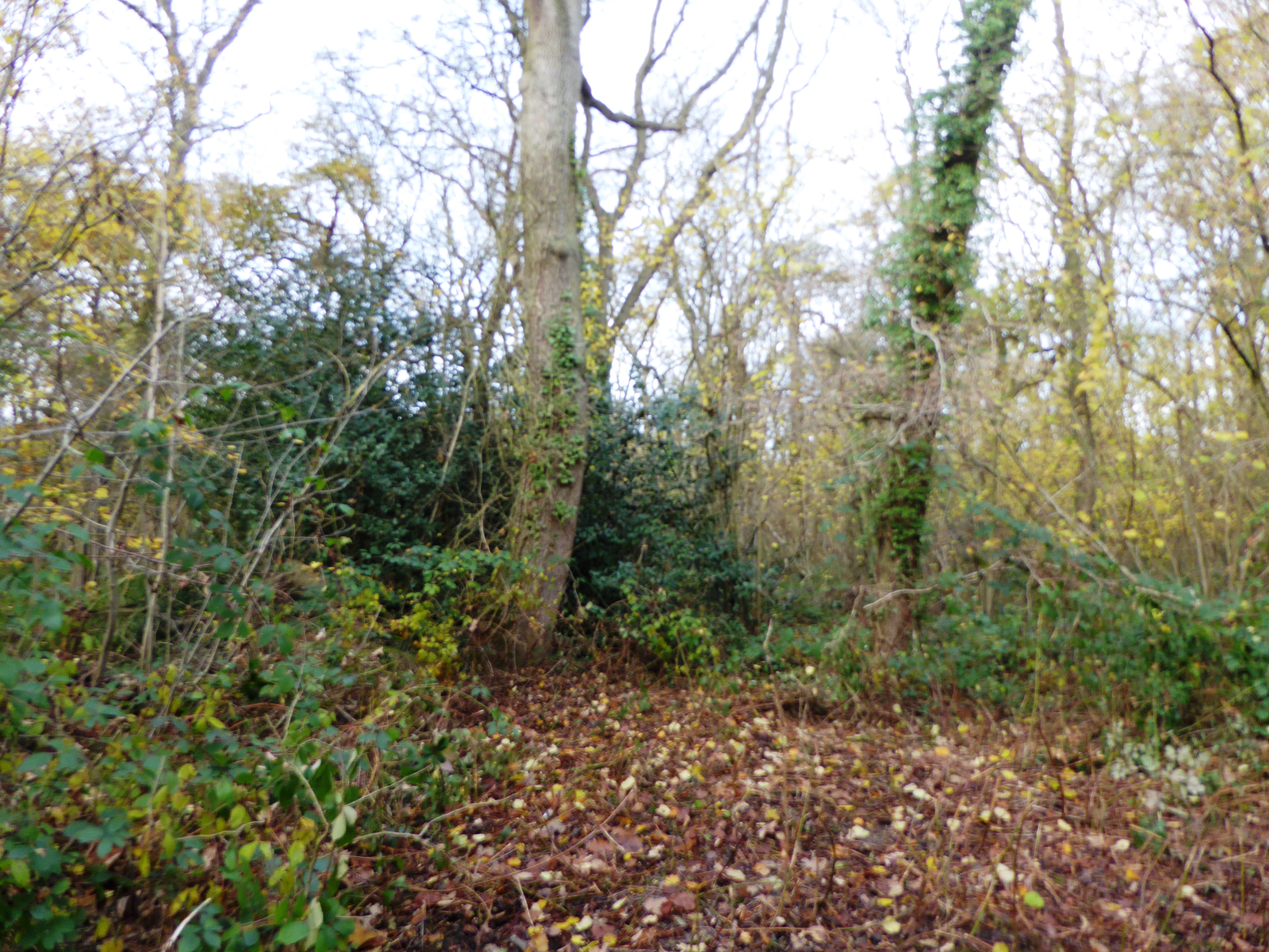
Cloud Wood is a picturesque woodland located in Leicestershire, England. Covering an area of approximately 40 hectares, this ancient forest is nestled within the Charnwood Forest region. The wood is primarily composed of oak and birch trees, which create a dense canopy that filters the sunlight and creates a tranquil and serene atmosphere.
Cloud Wood is known for its diverse range of flora and fauna. The forest floor is covered in a carpet of bluebells during the spring months, creating a stunning and vibrant display of color. The wood is also home to a variety of wildlife, including deer, foxes, and a wide array of bird species. Birdwatchers frequent the area to catch a glimpse of rare species such as nightjars and woodpeckers.
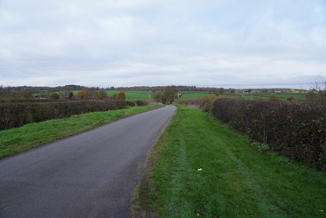
The wood is crisscrossed with a network of well-maintained footpaths, allowing visitors to explore the area and immerse themselves in its natural beauty. The paths wind through the forest, leading to open meadows and small ponds, providing opportunities for peaceful picnics or quiet contemplation.
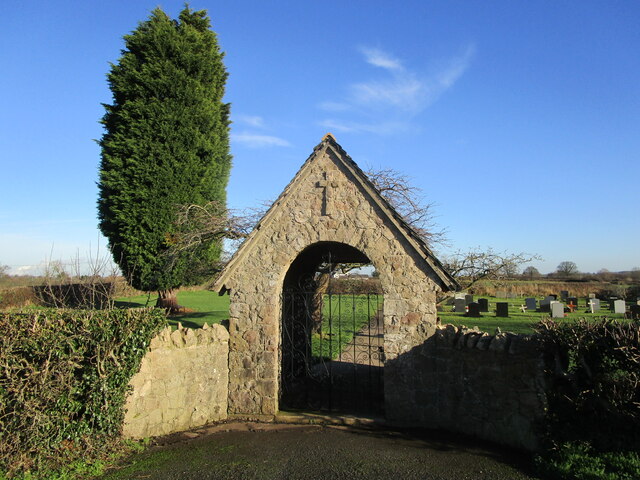
Cloud Wood is managed by a local conservation organization, which ensures that the delicate ecosystem of the forest is protected and preserved. The wood is open to the public year-round, providing a haven for nature enthusiasts, hikers, and families seeking a peaceful escape from the hustle and bustle of everyday life.
Overall, Cloud Wood is a hidden gem within Leicestershire, offering a unique and enchanting experience for visitors of all ages. Its natural beauty, diverse wildlife, and peaceful surroundings make it a must-visit destination for nature lovers and those seeking a tranquil retreat.
If you have any feedback on the listing, please let us know in the comments section below.
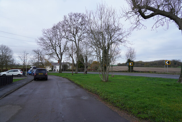
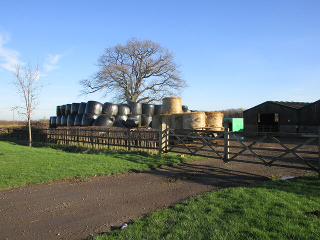
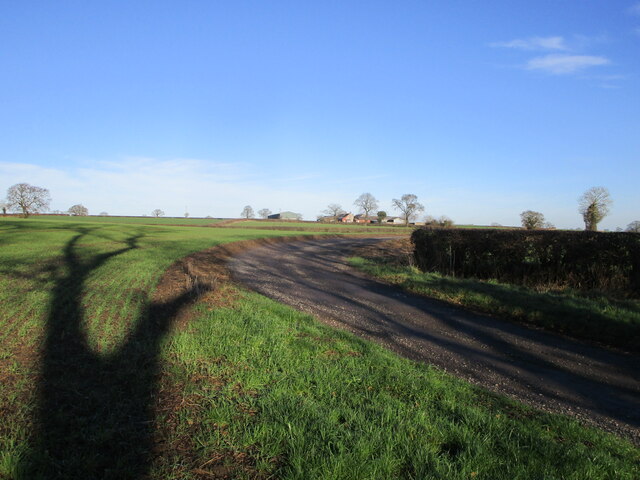
Cloud Wood Images
Images are sourced within 2km of 52.787627/-1.3835954 or Grid Reference SK4121. Thanks to Geograph Open Source API. All images are credited.


Cloud Wood is located at Grid Ref: SK4121 (Lat: 52.787627, Lng: -1.3835954)
Administrative County: Leicestershire
District: North West Leicestershire
Police Authority: Leicestershire
What 3 Words
///speaker.exits.pickles. Near Melbourne, Derbyshire
Nearby Locations
Related Wikis
Breedon Cloud Wood and Quarry
Breedon Cloud Wood and Quarry is a 63.3 hectares (156 acres) biological and geological Site of Special Scientific Interest north-east of Worthington in...
Pasture and Asplin Woods
Pasture and Asplin Woods is a 40.9 hectares (101 acres) biological Site of Special Scientific Interest west of Belton in Leicestershire.These ancient woods...

Worthington railway station
Worthington railway station was a station at Worthington, Leicestershire, England. == History == The station opened on 1 October 1869 when the Midland...

Worthington, Leicestershire
Worthington is a village and civil parish in North West Leicestershire, England, about 4 miles (6.4 km) north of the town of Coalville and a similar distance...
Nearby Amenities
Located within 500m of 52.787627,-1.3835954Have you been to Cloud Wood?
Leave your review of Cloud Wood below (or comments, questions and feedback).