Bradford's Gorse
Wood, Forest in Berkshire
England
Bradford's Gorse

Bradford's Gorse is a small woodland area located in Berkshire, England. Situated near the town of Woodley, it covers an area of approximately 20 acres. The forest is characterized by its diverse range of trees, including oak, ash, birch, and beech, creating a rich and vibrant ecosystem.
The woodland is well-known for its picturesque beauty, with winding paths that invite visitors to explore its enchanting surroundings. It offers a peaceful and tranquil atmosphere, making it a popular destination for nature lovers, hikers, and families seeking a relaxing day out.
The biodiversity within Bradford's Gorse is impressive, with various wildlife species calling it their home. Visitors may spot a range of birds, such as woodpeckers, finches, and owls, as well as small mammals like squirrels and rabbits. In spring, the forest comes alive with colorful wildflowers, adding to its natural charm.
The woodland is also of historical significance, as it was once a part of the larger Sonning Common Common, an area of land used for grazing livestock during medieval times. Today, it stands as a reminder of the region's rural heritage.
Bradford's Gorse is easily accessible, with well-maintained paths and ample parking facilities nearby. The Woodley town center is just a short distance away, offering amenities such as cafes, shops, and public transportation.
Overall, Bradford's Gorse in Berkshire is a hidden gem, offering a tranquil escape from the hustle and bustle of everyday life. Its natural beauty, diverse wildlife, and historical significance make it a must-visit destination for nature enthusiasts and those seeking a peaceful retreat.
If you have any feedback on the listing, please let us know in the comments section below.
Bradford's Gorse Images
Images are sourced within 2km of 51.409178/-1.4027177 or Grid Reference SU4167. Thanks to Geograph Open Source API. All images are credited.


Bradford's Gorse is located at Grid Ref: SU4167 (Lat: 51.409178, Lng: -1.4027177)
Unitary Authority: West Berkshire
Police Authority: Thames Valley
What 3 Words
///golden.coiling.sand. Near Kintbury, Berkshire
Nearby Locations
Related Wikis

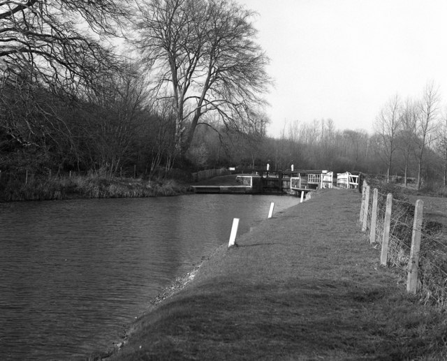
Dreweatt's Lock
Dreweatt's Lock is a lock on the Kennet and Avon Canal, between Kintbury and Newbury, Berkshire, England. The lock has a rise/fall of 5 ft 9 in (1.75 m...

Halfway, Berkshire
Halfway is a hamlet in the civil parish of Welford in the English county of Berkshire. It is located in the district of West Berkshire and the Newbury...

Kennet Valley Alderwoods
Kennet Valley Alderwoods is a 57.3-hectare (142-acre) biological Site of Special Scientific Interest west of Newbury in Berkshire. It is a Special Area...
Copse Lock
Copse Lock is a lock on the Kennet and Avon Canal, between Kintbury and Newbury, Berkshire, England. The lock has a rise/fall of 6 ft 0 in (1.82 m)....

Hamstead Lock
Hamstead Lock is a lock on the Kennet and Avon Canal, at Hamstead Marshall between Kintbury and Newbury, Berkshire, England. The lock has a rise/fall...
Newbury Castle
Newbury Castle is the name of an English adulterine castle built by John Marshal during The Anarchy. It is located west of the town of Newbury in the...

Marsh Benham
Marsh Benham is a village in the civil parish of Speen in the county of Berkshire, England. It is situated in the unitary authority of West Berkshire,...

Irish Hill Copse
Irish Hill Copse is a 15.9-hectare (39-acre) biological Site of Special Scientific Interest east of Kintbury in Berkshire.This site of coppiced ancient...
Nearby Amenities
Located within 500m of 51.409178,-1.4027177Have you been to Bradford's Gorse?
Leave your review of Bradford's Gorse below (or comments, questions and feedback).