Brooklands Copse
Wood, Forest in Oxfordshire West Oxfordshire
England
Brooklands Copse

Brooklands Copse is a charming woodland area located in Oxfordshire, England. Spanning across a vast area of approximately 50 acres, this copse is a haven for nature enthusiasts and visitors seeking tranquility amidst the bustling city life.
The copse is characterized by its dense and diverse collection of trees, ranging from towering oak and beech trees to smaller species such as hazel and hawthorn. These trees create a captivating canopy that not only provides shade but also plays host to a wide variety of flora and fauna.
As one ventures into Brooklands Copse, they are greeted by a network of well-maintained footpaths that wind through the woodland, offering visitors the opportunity to explore its beauty at their own pace. These paths are flanked by enchanting wildflowers, adding bursts of color to the surroundings.
Nature lovers will be delighted by the copse's abundant wildlife. Birdwatchers can spot various species, including woodpeckers, owls, and songbirds, while small mammals such as squirrels and rabbits can be observed scurrying through the undergrowth.
Brooklands Copse is not only a natural treasure but also holds historical significance. It is believed to have been part of an ancient woodland that once covered a significant portion of Oxfordshire. The copse's rich history can be seen in the remnants of old boundary walls and the occasional discovery of archaeological artifacts.
Overall, Brooklands Copse is a captivating woodland that offers visitors a chance to connect with nature, enjoy scenic walks, and immerse themselves in the rich history of Oxfordshire's natural landscape.
If you have any feedback on the listing, please let us know in the comments section below.
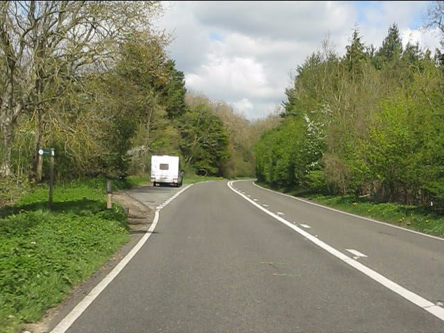
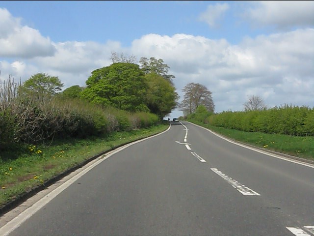
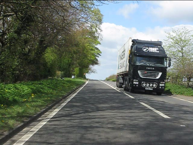
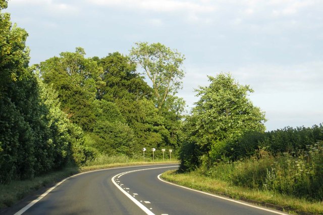
Brooklands Copse Images
Images are sourced within 2km of 51.896181/-1.3967065 or Grid Reference SP4122. Thanks to Geograph Open Source API. All images are credited.


Brooklands Copse is located at Grid Ref: SP4122 (Lat: 51.896181, Lng: -1.3967065)
Administrative County: Oxfordshire
District: West Oxfordshire
Police Authority: Thames Valley
What 3 Words
///relay.sweeping.funky. Near Stonesfield, Oxfordshire
Nearby Locations
Related Wikis

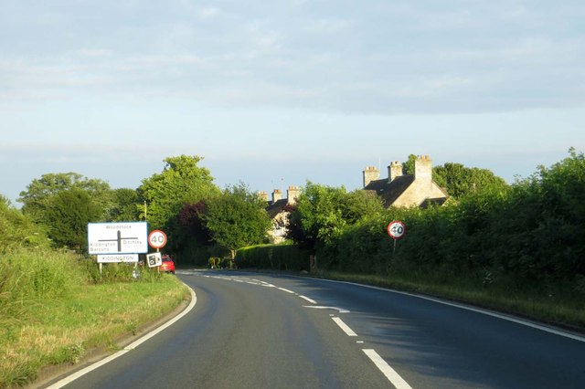
Over Kiddington
Over Kiddington is a hamlet in the civil parish of Kiddington with Asterleigh in Oxfordshire, England, about 7 miles (11 km) southeast of Chipping Norton...
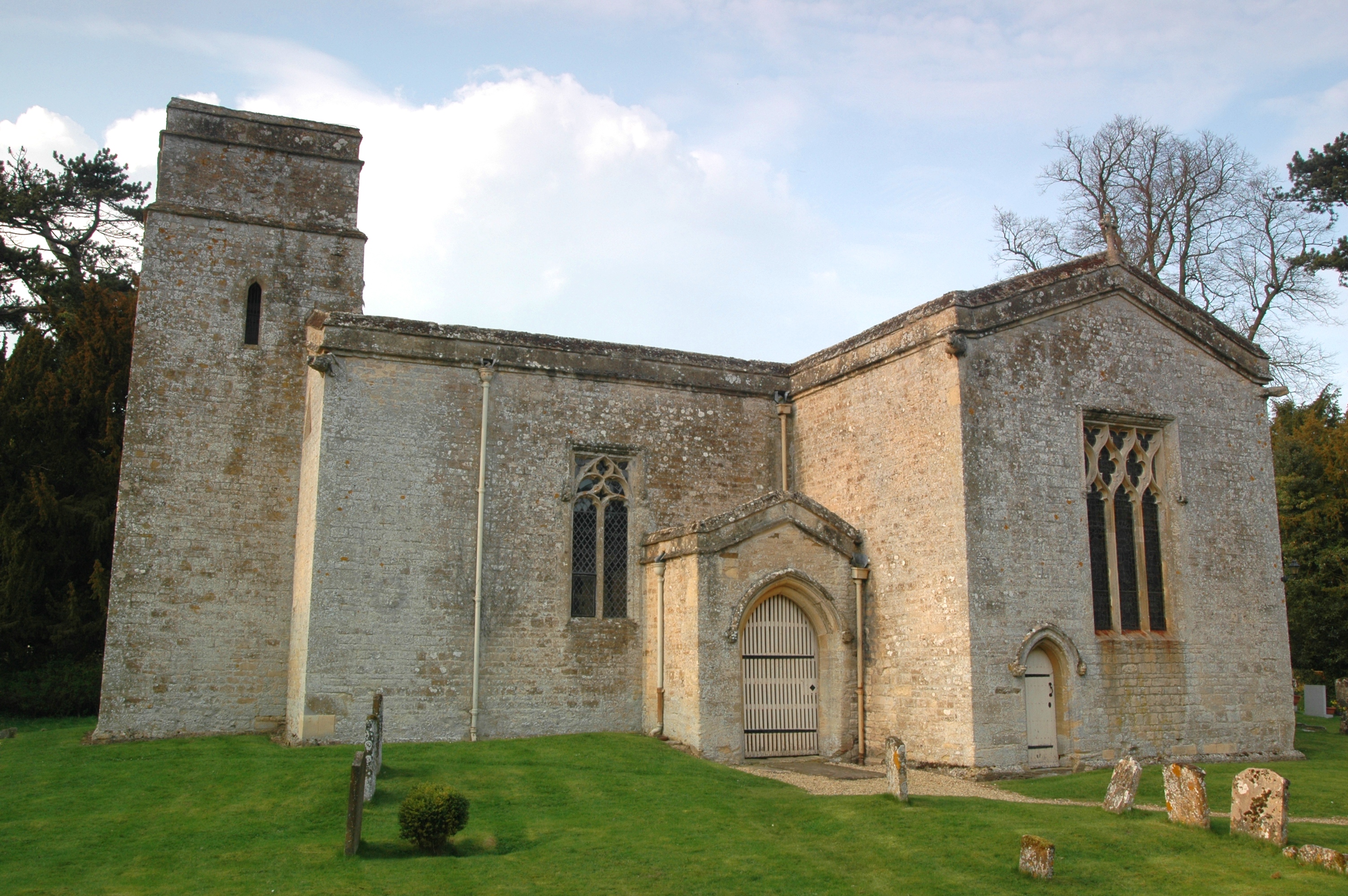
Kiddington
Kiddington is a village in the civil parish of Kiddington with Asterleigh, in the West Oxfordshire district, in the county of Oxfordshire, England. The...
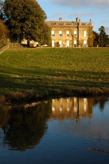
Kiddington Hall
Kiddington Hall is a large Grade II listed manor house located in Kiddington, near Woodstock, Oxfordshire, England. == History == Kiddington Hall was built...

Glympton Park
Glympton Park is a former deer park at Glympton, 3.5 miles (5.6 km) north of Woodstock, Oxfordshire, England. It includes Glympton House (an 18th-century...
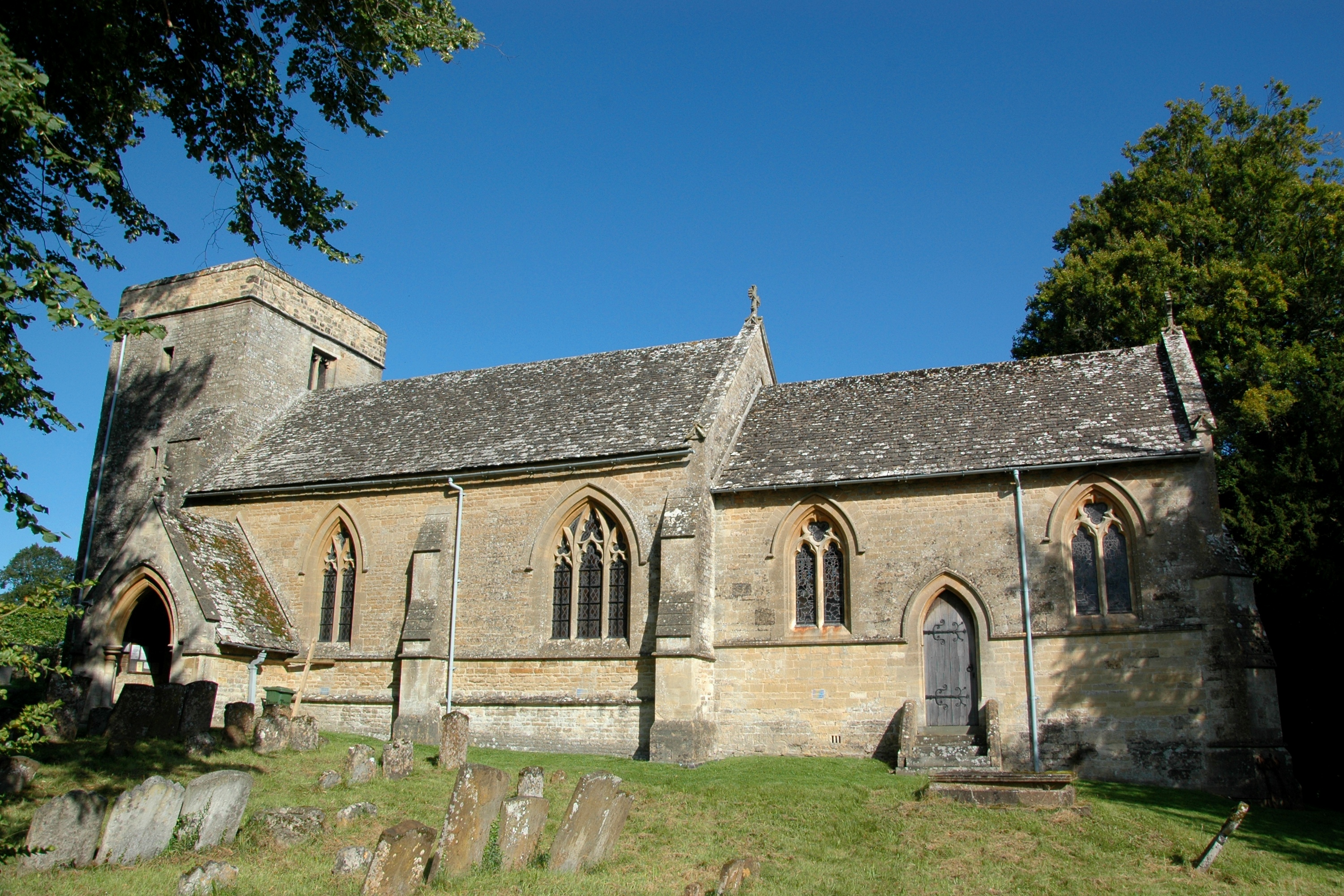
Glympton
Glympton is a village and civil parish on the River Glyme about 3 miles (5 km) north of Woodstock, Oxfordshire. The 2001 Census recorded the parish's population...
Asterleigh
Asterleigh, sometimes in the past called Esterley, is a farm and deserted medieval village about 3 miles (4.8 km) northeast of Charlbury in Oxfordshire...

Out Wood
Out Wood is a 19.2-hectare (47-acre) biological Site of Special Scientific Interest east of Charlbury in Oxfordshire.This semi-natural wood is a surviving...
Radford, Oxfordshire
Radford is a hamlet on the River Glyme in Enstone civil parish about 6 miles (10 km) east of Chipping Norton, Oxfordshire. == History == In 1086, the...
Nearby Amenities
Located within 500m of 51.896181,-1.3967065Have you been to Brooklands Copse?
Leave your review of Brooklands Copse below (or comments, questions and feedback).