Barwick Lodge Plantation

Wood, Forest in Yorkshire

England

Barwick Lodge Plantation

Chapel Lane, Barwick-in-Elmet This part of the road is one-way. due to being very narrow at the northern end.
Chapel Lane, Barwick-in-Elmet Credit: Humphrey Bolton

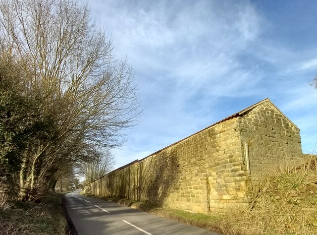
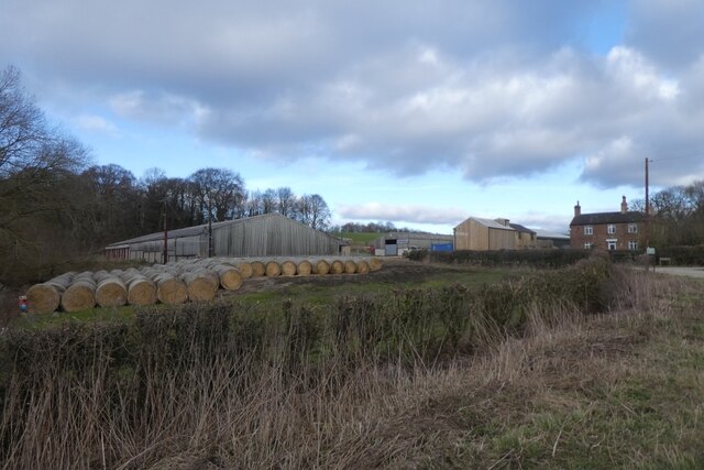
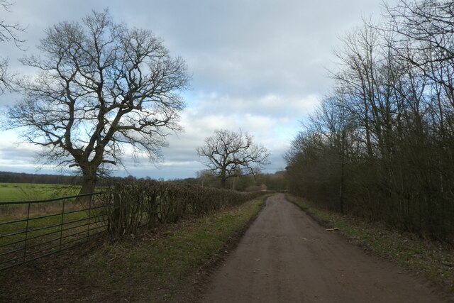
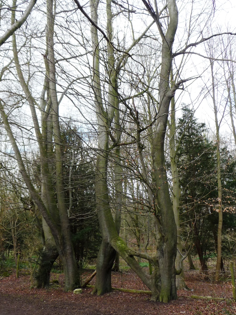
Barwick Lodge Plantation is a picturesque woodland located in the heart of Yorkshire, England. Spread across a sprawling area, this plantation is a perfect retreat for nature lovers and outdoor enthusiasts. The plantation is known for its dense forest cover, which consists mainly of oak, beech, and birch trees, creating a stunning canopy that offers shade and serenity.

The woodland is a haven for wildlife, with a diverse range of animal species calling it home. Visitors can spot a variety of birds, including woodpeckers, owls, and pheasants, as well as small mammals like rabbits and squirrels. The plantation also boasts a tranquil stream that meanders through its heart, adding to the beauty and providing a serene atmosphere.

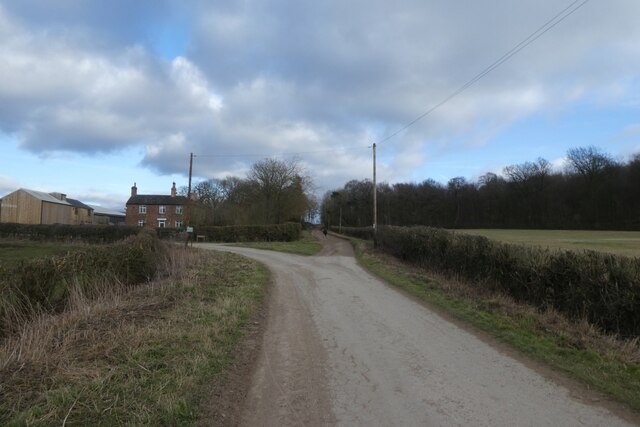
Barwick Lodge Plantation offers a range of recreational activities for visitors. Walking trails wind through the woodland, providing an opportunity to explore the natural beauty at a leisurely pace. The plantation is also popular among birdwatchers and photographers, who find ample opportunities to capture the beauty of the local fauna.

Visitors can enjoy a picnic in one of the designated areas, or simply relax and unwind amidst the peaceful surroundings. The plantation is well-maintained, with clear signposts and information boards providing valuable insights into the flora and fauna found within.

Overall, Barwick Lodge Plantation is a stunning woodland that offers a tranquil escape from the hustle and bustle of everyday life. Its natural beauty, diverse wildlife, and recreational activities make it a must-visit destination for those seeking solace in nature.

If you have any feedback on the listing, please let us know in the comments section below.

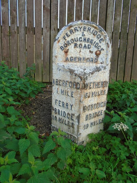
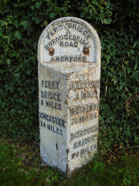
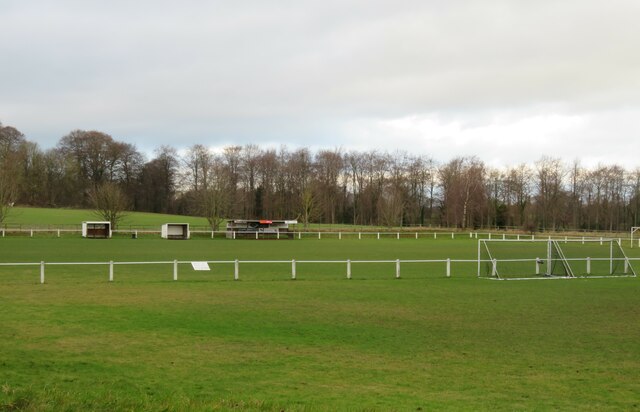
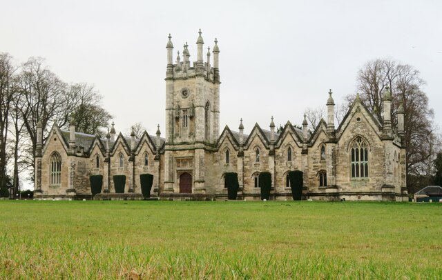
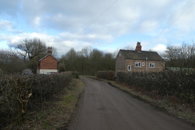
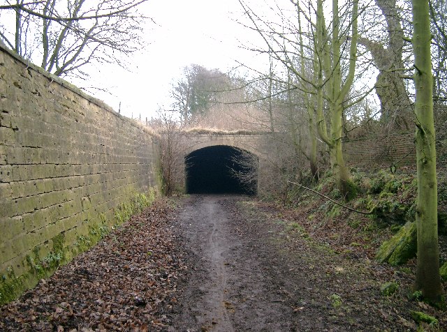
Barwick Lodge Plantation Images

Images are sourced within 2km of 53.830575/-1.3695635 or Grid Reference SE4137. Thanks to Geograph Open Source API. All images are credited.

Chapel Lane, Barwick-in-Elmet This part of the road is one-way. due to being very narrow at the northern end.
Chapel Lane, Barwick-in-Elmet
This part of the road is one-way. due to being very narrow at the northern end.
Houses and hedges, Chapel Lane, Barwick-in-Elmet These houses are on the 1938 1:2500 map.
Houses and hedges, Chapel Lane, Barwick-in-Elmet
These houses are on the 1938 1:2500 map.
Road junction in front of the church, Barwick-in-Elmet All Saints Church is listed, Grade II*.
Road junction in front of the church, Barwick-in-Elmet
All Saints Church is listed, Grade II*.
Old milestone Another of the West Riding CC milestones at the northern end of Aberford on main Street near to Greystones Park.   Even though it is 'Listed'(II 1135617) and is in a village it is very neglected.  Many of the metal attachments for the original 615 WRCC milestones were cast at the Brayshaw & Booth Foundry in Liversedge and that is usually cast on the bevel.   However the remaining posts on this route between Ferrybridge and Boroughbridge, the old A1, have a plain bevel so it is not known where they were cast.
Old milestone
Another of the West Riding CC milestones at the northern end of Aberford on main Street near to Greystones Park. Even though it is 'Listed'(II 1135617) and is in a village it is very neglected. Many of the metal attachments for the original 615 WRCC milestones were cast at the Brayshaw & Booth Foundry in Liversedge and that is usually cast on the bevel. However the remaining posts on this route between Ferrybridge and Boroughbridge, the old A1, have a plain bevel so it is not known where they were cast.
Old milestone At the southern end of Aberford on the route of the Great North Road/A1, now unclassified, is this West Riding CC milestone.  It is near the entrance to St Wilfrid's Priory on the east side of the road.  This is another metal attachment with deteriorating paintwork even though it is so near the village centre and is Grade II listed, 1200719
Old milestone
At the southern end of Aberford on the route of the Great North Road/A1, now unclassified, is this West Riding CC milestone. It is near the entrance to St Wilfrid's Priory on the east side of the road. This is another metal attachment with deteriorating paintwork even though it is so near the village centre and is Grade II listed, 1200719
Football ground, Aberford The ground is in a field to the west side of the old A1. It looks as though the main stand could accommodate at least 10 spectators.
Football ground, Aberford
The ground is in a field to the west side of the old A1. It looks as though the main stand could accommodate at least 10 spectators.
Former Catholic chapel, Aberford Now part of a private residence, this simple building was a very early [1793] Catholic place of worship, following the Catholic Relief Act of 1791.
Former Catholic chapel, Aberford
Now part of a private residence, this simple building was a very early [1793] Catholic place of worship, following the Catholic Relief Act of 1791.
The Gascoigne Almshouses A prominent feature on the southern approach to Aberford, this rather splendid building dates from c1844 and is now offices.
The Gascoigne Almshouses
A prominent feature on the southern approach to Aberford, this rather splendid building dates from c1844 and is now offices.
Barwick in Elmet, All Saints church The benchmark is cut into the north-west face of the church tower. There is some wear to the surrounding stonework.
Barwick in Elmet, All Saints church
The benchmark is cut into the north-west face of the church tower. There is some wear to the surrounding stonework.
Barwick in Elmet, All Saints church There is a benchmark cut into the north-west face of the church tower.
Barwick in Elmet, All Saints church
There is a benchmark cut into the north-west face of the church tower.
Barwick in Elmet, Potterton Lane According to the OS benchmark database there was a benchmark cut into the gable end of 7a Potterton Lane. The property has been painted and no mark is now visible.
Barwick in Elmet, Potterton Lane
According to the OS benchmark database there was a benchmark cut into the gable end of 7a Potterton Lane. The property has been painted and no mark is now visible.
Barwick in Elmet, 37 Potterton Lane According to the OS benchmark database there is a benchmark cut into the front face of this property. The building has had no extensions and it is likely that the benchmark still remains.
Barwick in Elmet, 37 Potterton Lane
According to the OS benchmark database there is a benchmark cut into the front face of this property. The building has had no extensions and it is likely that the benchmark still remains.
Potterton, Potterton Grange Farm The benchmark is cut into the roadside farm building near to the right hand cornerstone.
Potterton, Potterton Grange Farm
The benchmark is cut into the roadside farm building near to the right hand cornerstone.
Potterton, Potterton Grange Farm There is a benchmark cut into the roadside farm building near to the right hand cornerstone, on the 2nd course of stone.
Potterton, Potterton Grange Farm
There is a benchmark cut into the roadside farm building near to the right hand cornerstone, on the 2nd course of stone.
Throstle Nest Farm Located along Parlington Lane.
Throstle Nest Farm
Located along Parlington Lane.
Parlington Lane near Throstle Nest Farm A bridleway runs along Parlington Road between Barwick Road and Aberford. This path forms part of National Cycle Network route 66, with this section connecting Leeds and York.
Parlington Lane near Throstle Nest Farm
A bridleway runs along Parlington Road between Barwick Road and Aberford. This path forms part of National Cycle Network route 66, with this section connecting Leeds and York.
Parlington Lane east of Throstle Nest Farm A bridleway runs along Parlington Road between Barwick Road and Aberford. This path forms part of National Cycle Network route 66, with this section connecting Leeds and York.
Parlington Lane east of Throstle Nest Farm
A bridleway runs along Parlington Road between Barwick Road and Aberford. This path forms part of National Cycle Network route 66, with this section connecting Leeds and York.
Parlington Lane passing Staith Cottage A bridleway runs along Parlington Road between Barwick Road and Aberford. This path forms part of National Cycle Network route 66, with this section connecting Leeds and York.
Parlington Lane passing Staith Cottage
A bridleway runs along Parlington Road between Barwick Road and Aberford. This path forms part of National Cycle Network route 66, with this section connecting Leeds and York.
Show me another place!

Barwick Lodge Plantation is located at Grid Ref: SE4137 (Lat: 53.830575, Lng: -1.3695635)

Division: West Riding

Unitary Authority: Leeds

Police Authority: West Yorkshire

What 3 Words

///ogre.demoted.devoured. Near Aberford, West Yorkshire

Related Wikis

Aberford Dykes

The Aberford Dykes are a series of archaeological monuments located around the valley of the Cock Beck, where it runs just north of the village of Aberford...

Becca Hall

Becca Hall is a country residence situated in Aberford, Leeds, West Yorkshire, Yorkshire, at OS grid reference Lat.53:50:35N Lon.1:22:08W. It is situated...

Parlington

Parlington is a civil parish that includes part of Aberford, in the City of Leeds in West Yorkshire, England. In 2001 the parish had a population of 87...
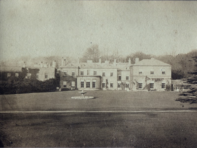
Parlington Hall

Parlington Hall was the seat of the Gascoigne family, Aberford near Leeds in West Yorkshire, England. == History == The Parlington estate was acquired...

Nellie's Tree

Nellie's Tree (also known as the Love Tree) near Aberford, West Yorkshire is a group of three beech trees that have been grafted together in the shape...

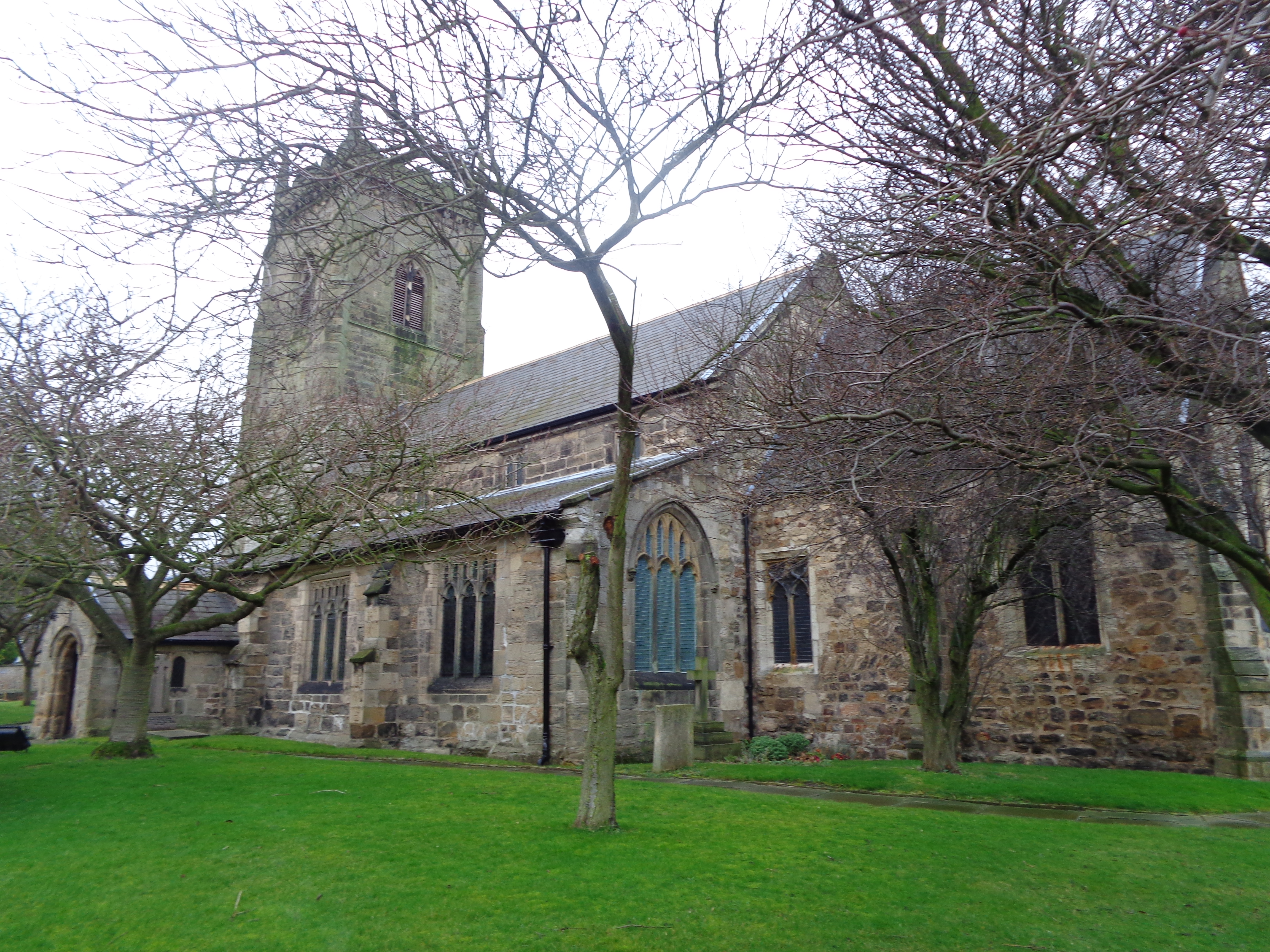
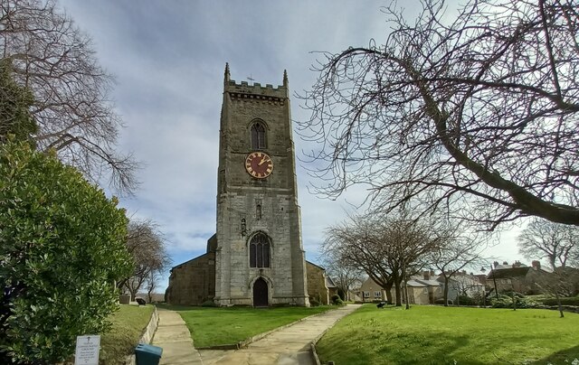
All Saints' Church, Barwick-in-Elmet

All Saints' Church in Barwick-in-Elmet, West Yorkshire, England is an active Anglican parish church in the archdeaconry of Leeds and the Diocese of Leeds...

Barwick-in-Elmet

Barwick-in-Elmet (pronounced Barrick-in-Elmet) is a village in West Yorkshire, 7 miles (11 km) east of Leeds city centre. It is one of only three places...

St Ricarius Church, Aberford

The Church of St Ricarius, Aberford, West Yorkshire, England, is an active Anglican parish church in the archdeaconry of York and the Diocese of Leeds...

Nearby Amenities

Located within 500m of 53.830575,-1.3695635
Bus Stop
Aberford Road
Bus: yes
Local Ref: 45013284
Naptan AtcoCode: 450013284
Naptan Bearing: W
Naptan CommonName: Aberford Road
Naptan Crossing: Barwick Lodge Plantation
Naptan Indicator: Stop 45013284
Naptan Landmark: Barwick Lodge Plantation
Naptan PlusbusZoneRef: LEEDS
Naptan ShortCommonName: Barwick Lodge
Naptan Street: Aberford Road
Naptan Verified: no
Public Transport: platform
Source: naptan_import
Lat/Long: 53.8314912/-1.3706626
Bus Stop
Aberford Road
Bus: yes
Local Ref: 45050100
Naptan AtcoCode: 450050100
Naptan Bearing: E
Naptan BusStopType: CUS
Naptan CommonName: Aberford Road
Naptan Indicator: Stop 45050100
Naptan PlusbusZoneRef: LEEDS
Naptan ShortCommonName: Barwick Lodge
Naptan Street: Aberford Road
Naptan Verified: no
Public Transport: platform
Source: naptan_import
Lat/Long: 53.83159/-1.3706611
Willowgarth Plantation
Natural: wood
Lat/Long: 53.8274959/-1.366106
Barwick Lodge Plantation
Natural: wood
Lat/Long: 53.8301849/-1.3692967
Noexit: yes
Lat/Long: 53.8336049/-1.3649301
Aberford Road
Bus: yes
Local Ref: 45050100
Public Transport: stop_position
Lat/Long: 53.831535/-1.3706316
Aberford Road
Bus: yes
Local Ref: 45013284
Public Transport: stop_position
Lat/Long: 53.8315356/-1.3706994
The data included in this document is from www.openstreetmap.org. The data is made available under ODbL.

Have you been to Barwick Lodge Plantation?

Leave your review of Barwick Lodge Plantation below (or comments, questions and feedback).