Asgarby
Settlement in Lincolnshire East Lindsey
England
Asgarby
Asgarby is a small village located in the county of Lincolnshire, England. Situated approximately 12 miles southeast of the city of Lincoln, Asgarby is nestled in the heart of the picturesque Lincolnshire Wolds, an Area of Outstanding Natural Beauty.
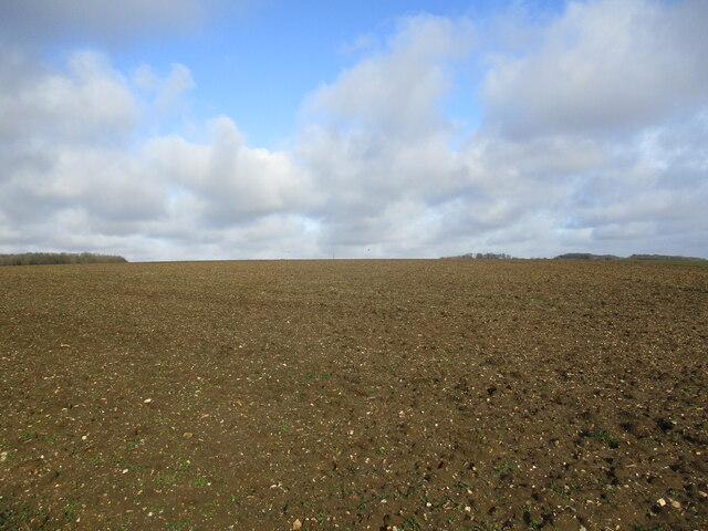
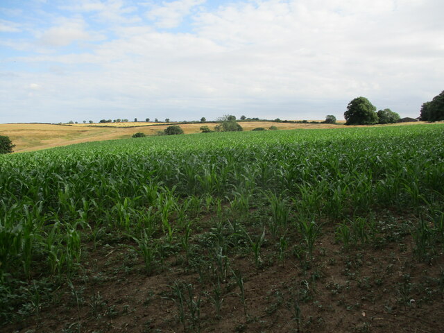
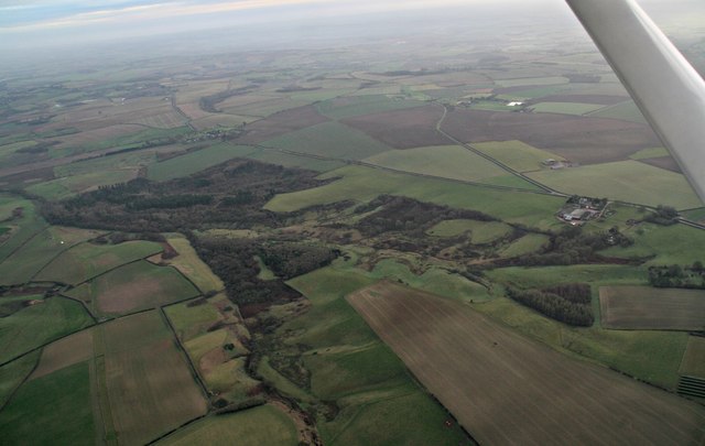
With a population of around 150 residents, Asgarby is a close-knit community characterized by its rural charm and tranquil atmosphere. The village is known for its idyllic countryside scenery, featuring rolling hills, green fields, and meandering streams. The surrounding area offers ample opportunities for outdoor activities such as hiking, cycling, and birdwatching, attracting nature enthusiasts from far and wide.
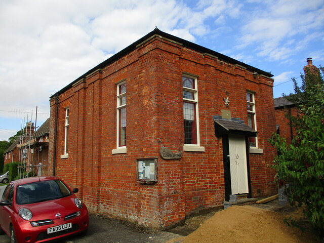
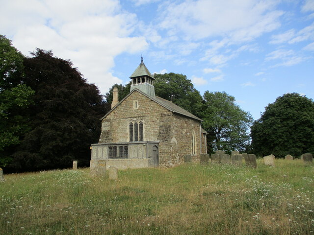
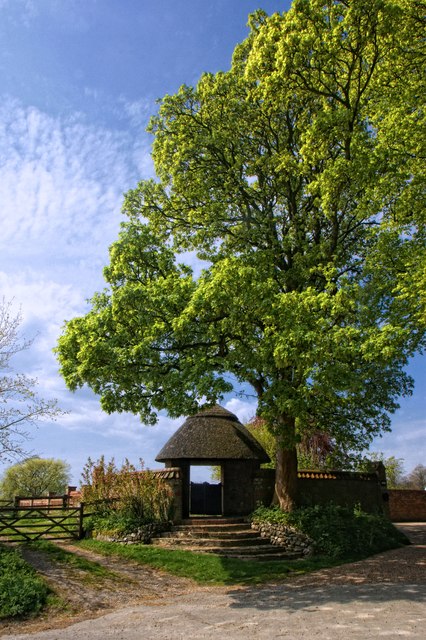
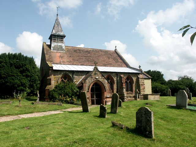
The village itself is home to a handful of well-preserved historic buildings, including a beautiful 12th-century church dedicated to St. Andrew. This architectural gem displays stunning Norman and Early English Gothic features, making it a must-visit for history buffs and architecture aficionados.
Although Asgarby is primarily a residential area, it benefits from its proximity to nearby towns and villages for essential amenities and services. The larger town of Sleaford, located just 5 miles away, provides residents with a range of shops, schools, healthcare facilities, and recreational options.
Asgarby's peaceful ambiance, combined with its natural beauty and historical charm, makes it an ideal destination for those seeking a tranquil countryside retreat or a base to explore the surrounding Lincolnshire Wolds.
If you have any feedback on the listing, please let us know in the comments section below.
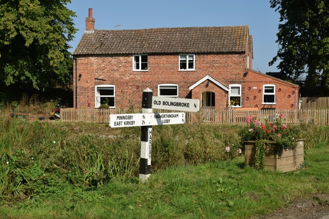
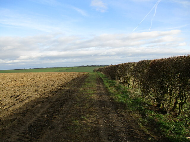
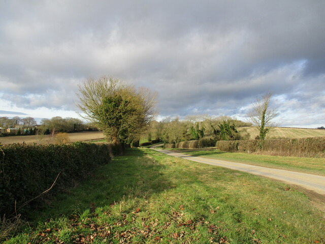
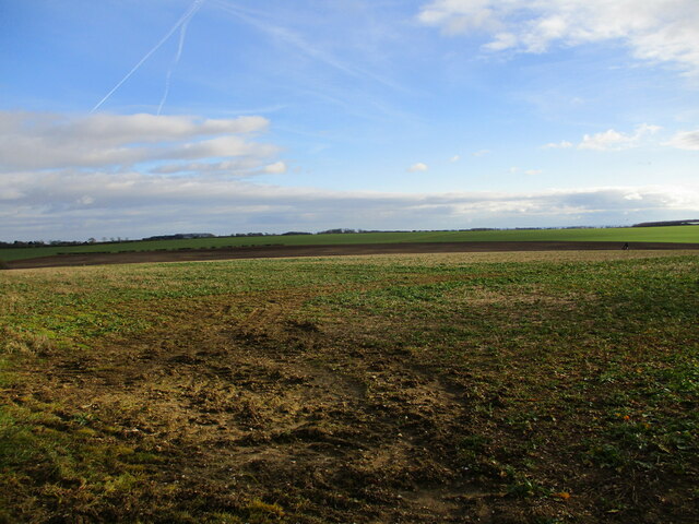
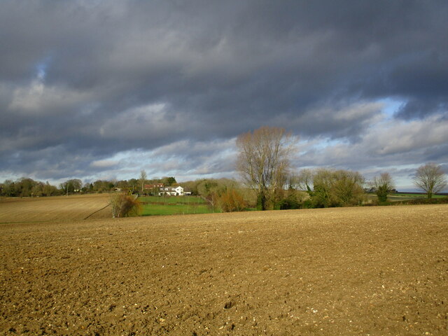
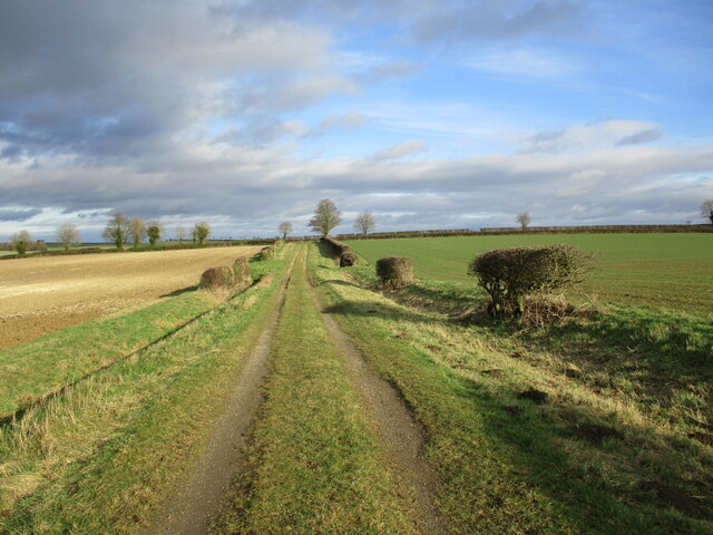
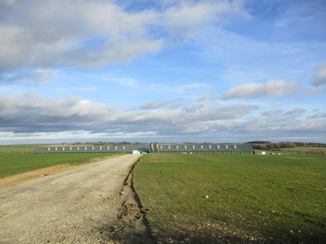
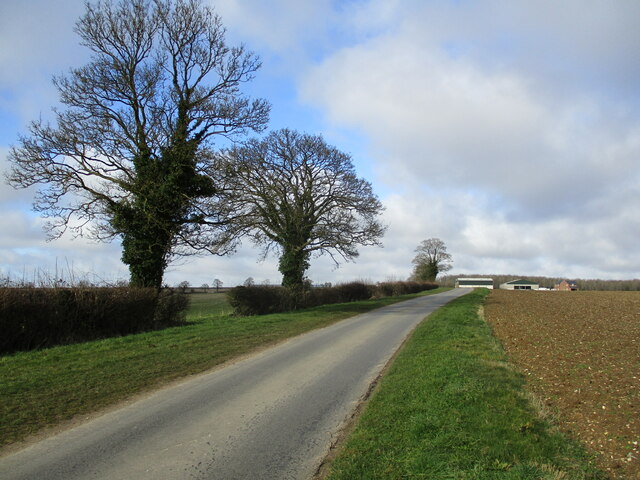
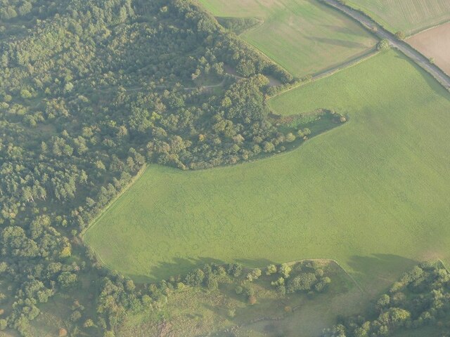
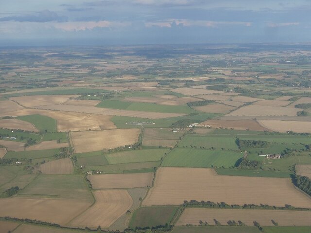
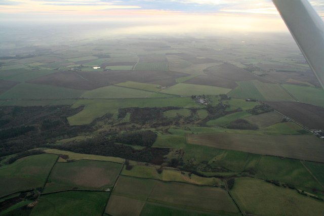
Asgarby Images
Images are sourced within 2km of 53.181923/-0.010585 or Grid Reference TF3366. Thanks to Geograph Open Source API. All images are credited.

Asgarby is located at Grid Ref: TF3366 (Lat: 53.181923, Lng: -0.010585)
Division: Parts of Lindsey
Administrative County: Lincolnshire
District: East Lindsey
Police Authority: Lincolnshire
What 3 Words
///meant.lanes.giraffes. Near Spilsby, Lincolnshire
Nearby Locations
Related Wikis

Asgarby, East Lindsey
Asgarby is a hamlet and former civil parish, now in the parish of Lusby with Winceby, in the East Lindsey district of Lincolnshire, England. It lies just...

Hareby
Hareby is a small village and former civil parish, now in the parish of Bolingbroke, in the East Lindsey district of Lincolnshire, England. It is situated...

Lusby, Lincolnshire
Lusby is a village and former civil parish, now in the parish of Lusby with Winceby, in the East Lindsey district of Lincolnshire, England. It is situated...

Snipe Dales
Snipe Dales is a country park and nature reserve in the Lincolnshire Wolds near Hagworthingham in Lincolnshire, England. The reserve is one of the few...
Winceby
Winceby is a village in the civil parish of Lusby with Winceby, in the East Lindsey district of Lincolnshire, England. It is in the Lincolnshire Wolds...
Hameringham
Hameringham is an extended village in the East Lindsey district of Lincolnshire, England. It is situated 4 miles (6.4 km) south-east from the town of Horncastle...

Bolingbroke, Lincolnshire
Bolingbroke, now called Old Bolingbroke, is a village and civil parish in the East Lindsey district of Lincolnshire, England. Its present boundaries were...

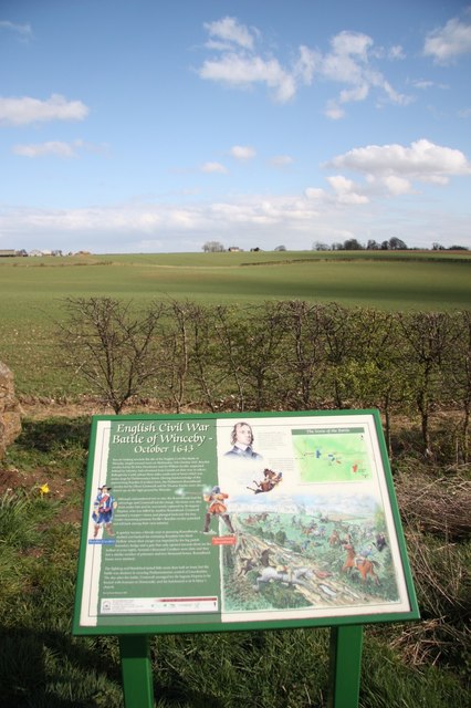
Battle of Winceby
The Battle of Winceby took place on 11 October 1643 during the First English Civil War near the village of Winceby, Lincolnshire. In the battle, a Royalist...
Nearby Amenities
Located within 500m of 53.181923,-0.010585Have you been to Asgarby?
Leave your review of Asgarby below (or comments, questions and feedback).