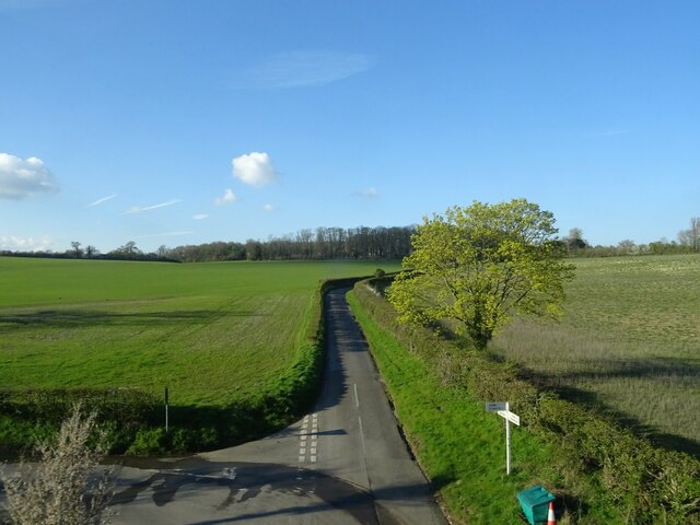
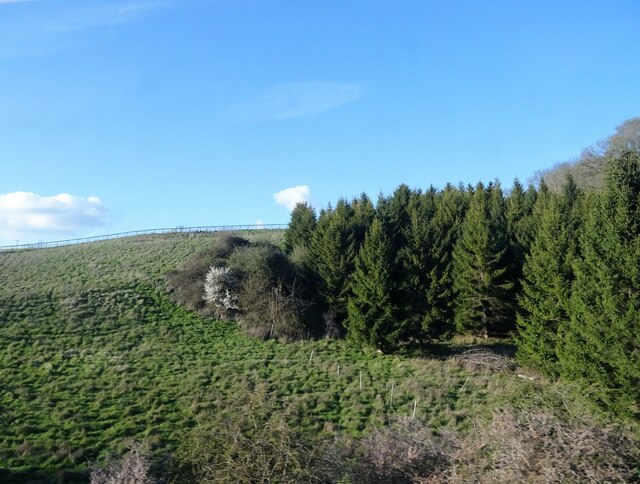
Long Firs
Wood, Forest in Oxfordshire West Oxfordshire
England
Long Firs
The requested URL returned error: 429 Too Many Requests
If you have any feedback on the listing, please let us know in the comments section below.
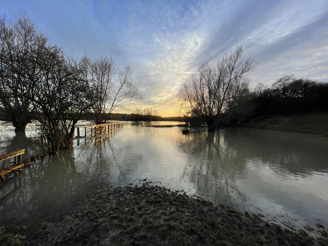
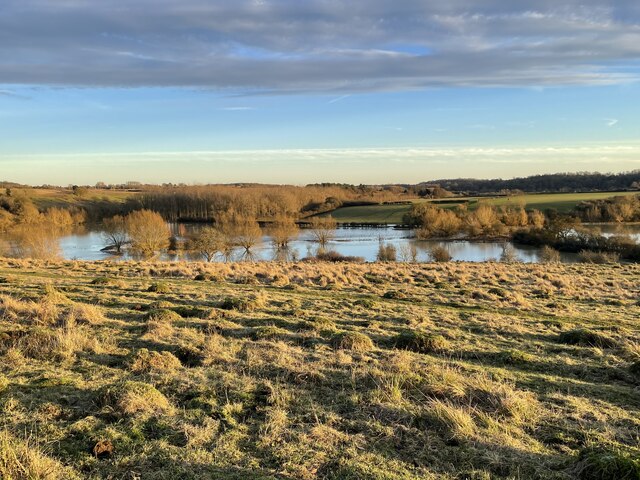
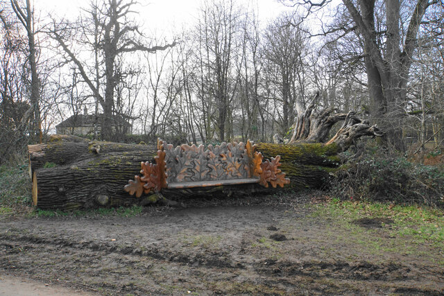
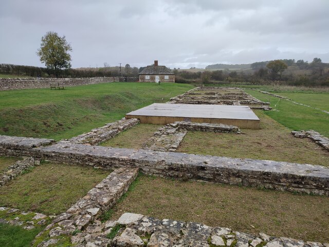
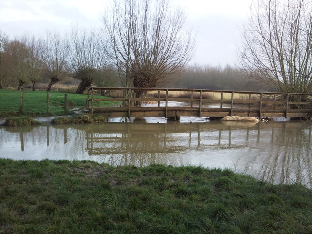
Long Firs Images
Images are sourced within 2km of 51.845887/-1.4024305 or Grid Reference SP4116. Thanks to Geograph Open Source API. All images are credited.


Long Firs is located at Grid Ref: SP4116 (Lat: 51.845887, Lng: -1.4024305)
Administrative County: Oxfordshire
District: West Oxfordshire
Police Authority: Thames Valley
What 3 Words
///deaf.crown.unstated. Near Stonesfield, Oxfordshire
Nearby Locations
Related Wikis

Combe, Oxfordshire
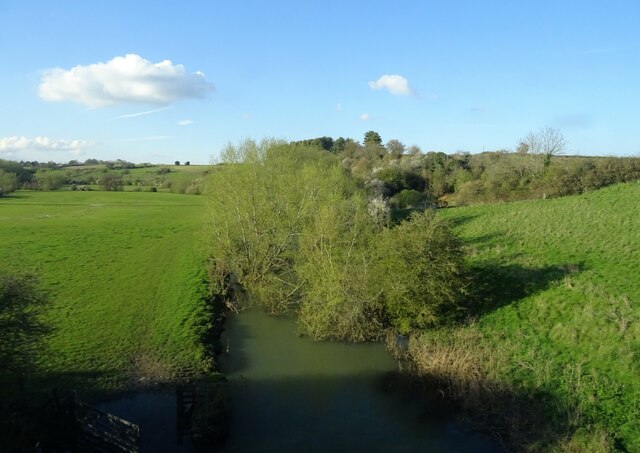
Combe is a village and civil parish about 5 miles (8 km) northeast of Witney in Oxfordshire. It is bounded to the south and southwest by the River Evenlode...
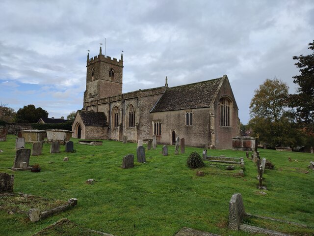
St Laurence's Church, Combe Longa
St Laurence's Church, Combe Longa is the Church of England parish church of Combe, Oxfordshire, England. The parish is part of the Benefice of Stonesfield...

Combe Mill
Combe Mill is a historic sawmill adjacent to the River Evenlode and close to Combe railway station, between the villages of Combe and Long Hanborough in...

Combe railway station
Combe railway station serves the village of Combe in Oxfordshire, England. It is on the Cotswold Line. This station and all trains serving it are run by...
Nearby Amenities
Located within 500m of 51.845887,-1.4024305Have you been to Long Firs?
Leave your review of Long Firs below (or comments, questions and feedback).