Hawk's Nest Wood
Wood, Forest in Yorkshire
England
Hawk's Nest Wood

Hawk's Nest Wood, located in Yorkshire, is a picturesque woodland that encompasses an area of approximately 100 acres. Nestled in the heart of the county, this enchanting forest is a haven for nature lovers and outdoor enthusiasts alike.
The wood is predominantly composed of native British trees, including oak, beech, and birch, which create a rich and diverse ecosystem. The dense canopy overhead provides ample shade, creating a cool and refreshing atmosphere during the summer months. This, combined with the gentle sound of rustling leaves and the scent of earth, makes Hawk's Nest Wood a tranquil retreat for visitors seeking respite from the hustle and bustle of everyday life.
The woodland is crisscrossed by several well-maintained trails, allowing visitors to explore its beauty at their own pace. These paths wind their way through the forest, offering glimpses of vibrant wildflowers, moss-covered rocks, and hidden wildlife. The wood is home to a variety of bird species, including woodpeckers, owls, and the occasional glimpse of a soaring hawk, giving the woodland its name.
Hawk's Nest Wood also boasts a small stream that meanders through its heart, providing a peaceful backdrop and a source of water for the woodland's inhabitants. This babbling brook is an ideal spot for visitors to pause, reflect, and perhaps even dip their toes in the cool water.
With its natural beauty and serene ambiance, Hawk's Nest Wood offers a delightful escape for those seeking a connection with nature. Whether it's a leisurely stroll, a bird-watching adventure, or simply a moment of solitude, this woodland is a true gem in the Yorkshire countryside.
If you have any feedback on the listing, please let us know in the comments section below.
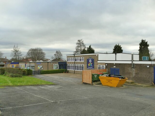
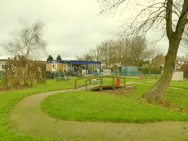
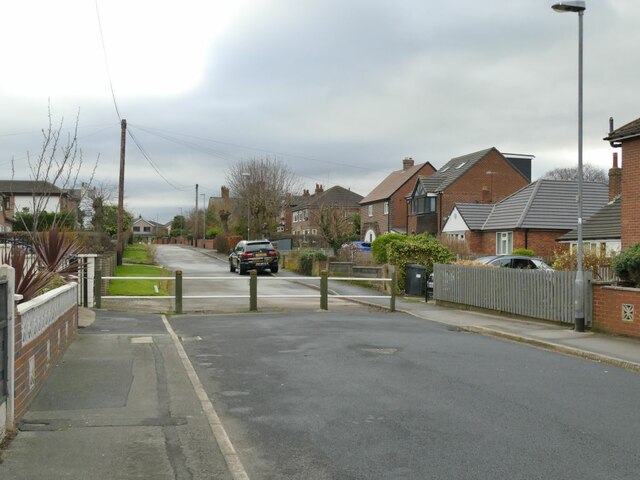
Hawk's Nest Wood Images
Images are sourced within 2km of 53.804017/-1.3750333 or Grid Reference SE4134. Thanks to Geograph Open Source API. All images are credited.


Hawk's Nest Wood is located at Grid Ref: SE4134 (Lat: 53.804017, Lng: -1.3750333)
Division: West Riding
Unitary Authority: Leeds
Police Authority: West Yorkshire
What 3 Words
///prude.stooping.spits. Near Garforth, West Yorkshire
Nearby Locations
Related Wikis
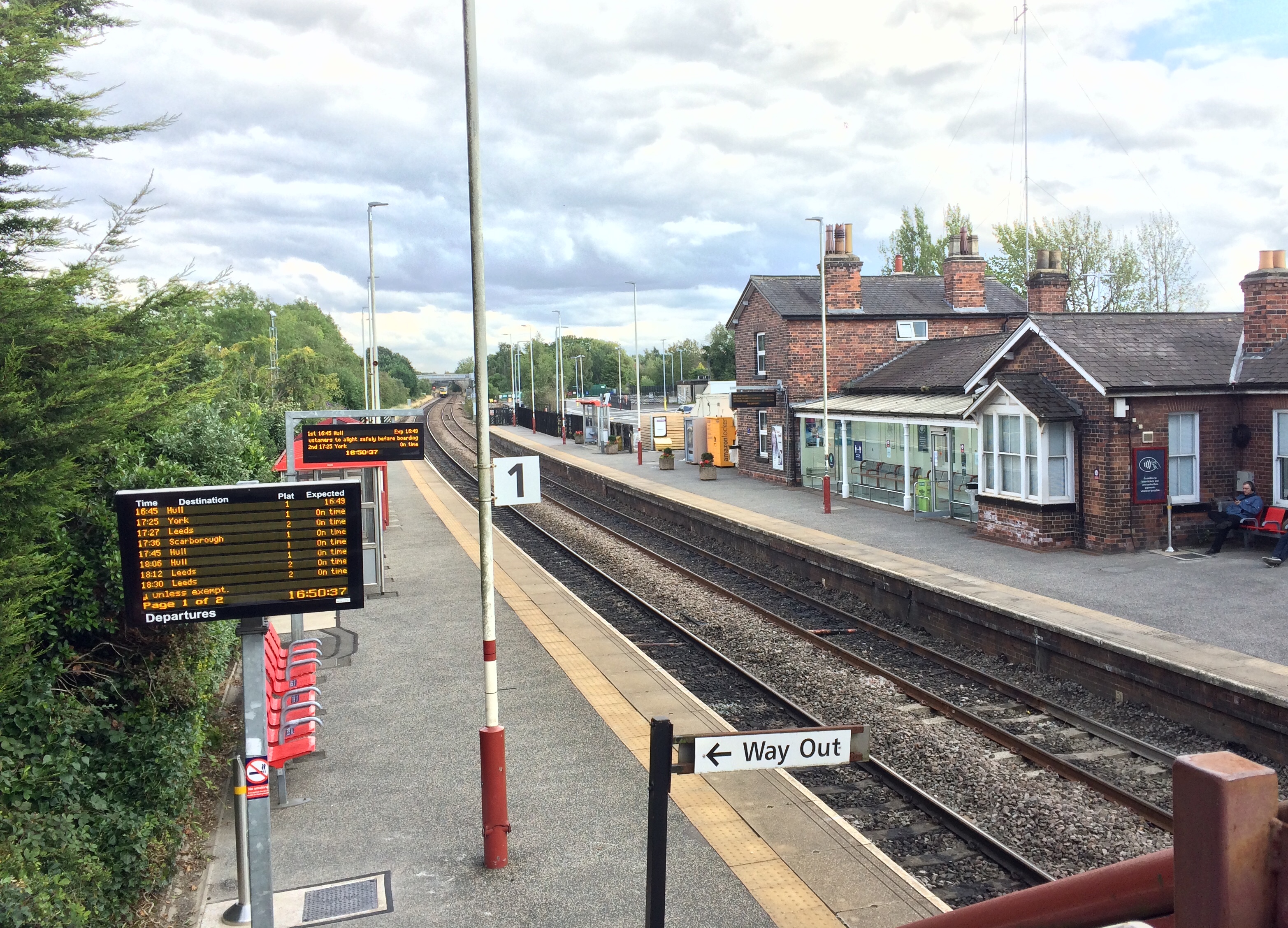
Garforth railway station
Garforth railway station serves the town of Garforth in West Yorkshire, England. It is one of the two stations in Garforth the other being East Garforth...

Garforth Town A.F.C.
Garforth Town Association Football Club is a football club based in Garforth, West Yorkshire, England. They are members of the Northern Counties East League...
Masters Performing Arts College
Masters Performing Arts College is an independent dance/musical theatre college based in the town of Rayleigh in Essex, England. == Training == Key areas...
SLP College
SLP College is an independent, co-educational performing arts college based in Garforth near Leeds, West Yorkshire, England. == Overview == In 1974 Sandra...
Nearby Amenities
Located within 500m of 53.804017,-1.3750333Have you been to Hawk's Nest Wood?
Leave your review of Hawk's Nest Wood below (or comments, questions and feedback).