Califat Wood
Wood, Forest in Leicestershire North West Leicestershire
England
Califat Wood
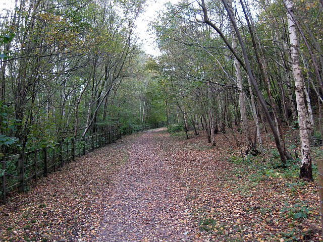
Califat Wood is a picturesque forest located in Leicestershire, England. Spanning an area of approximately 500 acres, it is well-known for its natural beauty and diverse range of flora and fauna. The wood is situated near the village of Woodhouse Eaves, offering visitors a tranquil and peaceful retreat from the hustle and bustle of daily life.
The forest is primarily composed of deciduous trees, including oak, beech, and birch, which create a stunning canopy of foliage during the spring and summer months. This vibrant display of colors attracts many nature enthusiasts and photographers who come to capture its beauty. The woodland floor is adorned with bluebells, wild garlic, and other wildflowers, creating a picturesque landscape.
Califat Wood is not only a haven for nature lovers but also a sanctuary for various wildlife species. It is home to a diverse range of birds, such as woodpeckers and songbirds, along with small mammals like deer, foxes, and rabbits. Visitors often enjoy birdwatching and wildlife spotting activities, immersing themselves in the natural habitat.
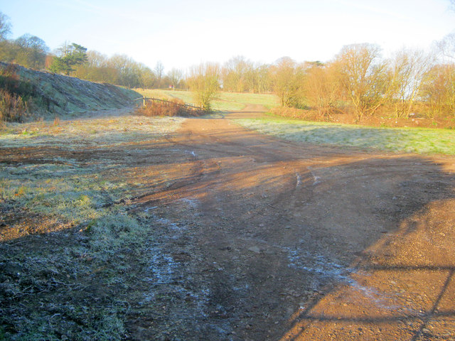
The forest offers a network of well-marked trails, making it an ideal location for walking, hiking, and cycling. It also provides picnic areas and benches, allowing visitors to relax and enjoy the serene surroundings. The wood is open year-round, with each season offering a unique experience, from the vibrant colors of autumn to the peaceful stillness of winter.
Overall, Califat Wood is a captivating forest that showcases the beauty of nature in Leicestershire. Its diverse range of flora and fauna, well-maintained trails, and tranquil ambiance make it a popular destination for nature enthusiasts and those seeking a peaceful escape.
If you have any feedback on the listing, please let us know in the comments section below.
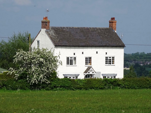
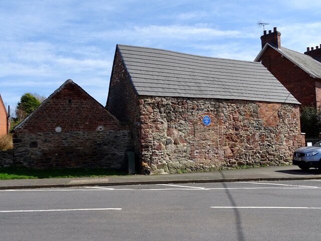
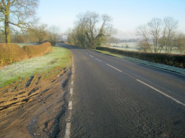
Califat Wood Images
Images are sourced within 2km of 52.749262/-1.3911294 or Grid Reference SK4117. Thanks to Geograph Open Source API. All images are credited.


Califat Wood is located at Grid Ref: SK4117 (Lat: 52.749262, Lng: -1.3911294)
Administrative County: Leicestershire
District: North West Leicestershire
Police Authority: Leicestershire
What 3 Words
///employ.games.bunks. Near Ravenstone, Leicestershire
Nearby Locations
Related Wikis
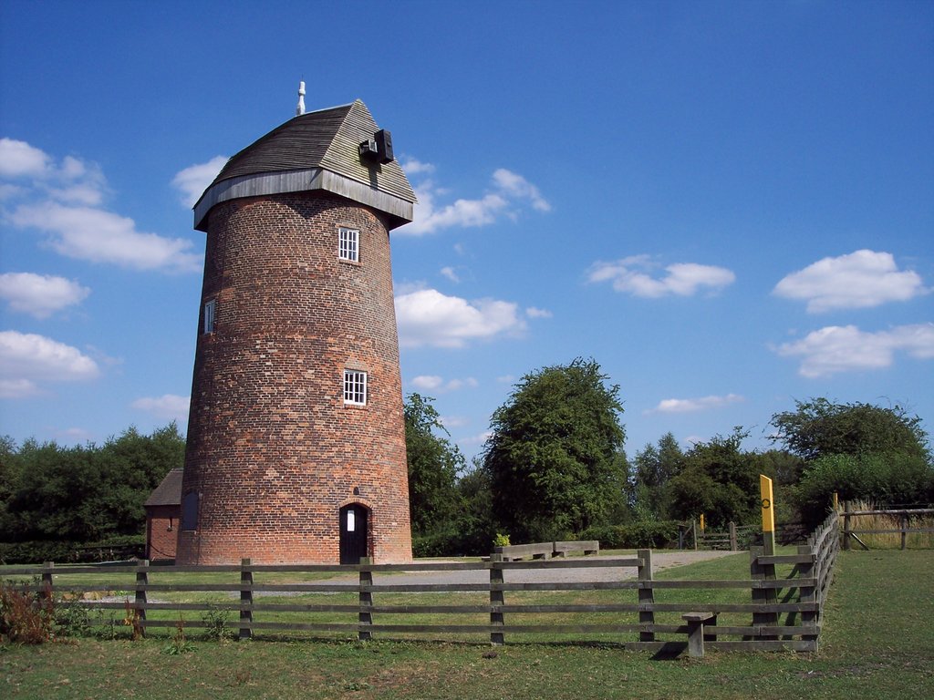
Hough Windmill
Hough windmill, Swannington, Leicestershire is a tower windmill built in the late 18th century on the boundary between Swannington, Leicestershire and...

Califat Coal Mine
The Califat Coal Mine began in 1852, when William Worswick signed a lease with Wyggeston Hospital, Leicester. The Coleorton No 2 Colliery was then sunk...

North West Leicestershire (UK Parliament constituency)
North West Leicestershire is a constituency represented in the House of Commons of the UK Parliament since 2010 by Andrew Bridgen, originally a Conservative...
Peggs Green
Peggs Green is a hamlet within the parish of Coleorton, Leicestershire. For many years it had formed part of the civil parish of Thringstone, until this...

Coleorton
Coleorton ( kə-LOR-tən) is a village and civil parish in North West Leicestershire, England. It is situated on the A512 road approximately 2 miles (3...
Swannington, Leicestershire
Swannington is a former mining village situated between Coalville and Ashby-de-la-Zouch, Leicestershire, England. A document of 1520 mentions five pits...
Coleorton Wood
Coleorton Wood is a woodland in the village of Coleorton, near Coalville in northwest Leicestershire, England. It is a six-hectare (15-acre) mixed woodland...
Griffydam
Griffydam is a hamlet within the parish of Worthington, Leicestershire . == History == Griffydam is most famously associated with a chalybeate well, or...
Nearby Amenities
Located within 500m of 52.749262,-1.3911294Have you been to Califat Wood?
Leave your review of Califat Wood below (or comments, questions and feedback).