Burchie's Copse

Wood, Forest in Oxfordshire West Oxfordshire

England

Burchie's Copse

A44 - straight section near Hobbards Hill
A44 - straight section near Hobbards Hill Credit: Peter Whatley

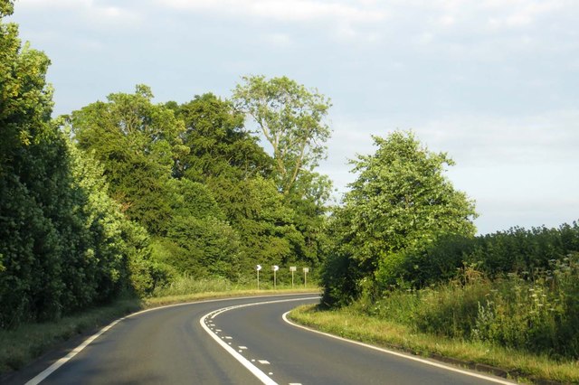
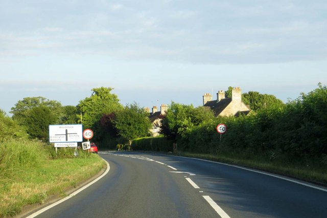
Burchie's Copse is a picturesque woodland located in Oxfordshire, England. Situated near the village of Burchie, the copse covers an area of approximately 50 acres. This ancient woodland is known for its diverse range of flora and fauna, making it a popular destination for nature enthusiasts and wildlife lovers.

The copse is primarily composed of deciduous trees, including oak, beech, and ash, which create a dense canopy overhead. These trees provide a habitat for a variety of woodland birds such as woodpeckers, tits, and thrushes. The forest floor is carpeted with a rich assortment of wildflowers, including bluebells, primroses, and foxgloves, which bloom in vibrant colors during the spring and summer months.

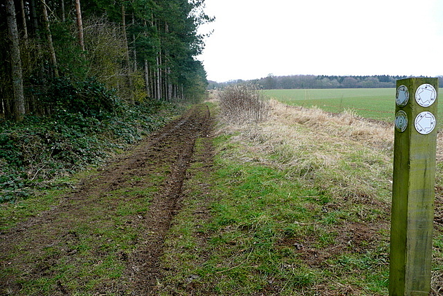
Trails wind through the copse, allowing visitors to explore its beauty and tranquility. The paths are well-maintained, making it accessible to both walkers and cyclists. Burchie's Copse also features a small picnic area, providing a perfect spot to relax and enjoy the peaceful surroundings.

The copse is managed by the local conservation authority, ensuring the preservation of its natural beauty and protecting its delicate ecosystem. Educational programs and guided tours are occasionally offered, allowing visitors to learn more about the copse's history, wildlife, and conservation efforts.

Overall, Burchie's Copse is a hidden gem in Oxfordshire, offering a serene escape from the hustle and bustle of everyday life. Whether you are interested in birdwatching, hiking, or simply enjoying a peaceful picnic, this woodland is a must-visit destination for nature enthusiasts of all ages.

If you have any feedback on the listing, please let us know in the comments section below.

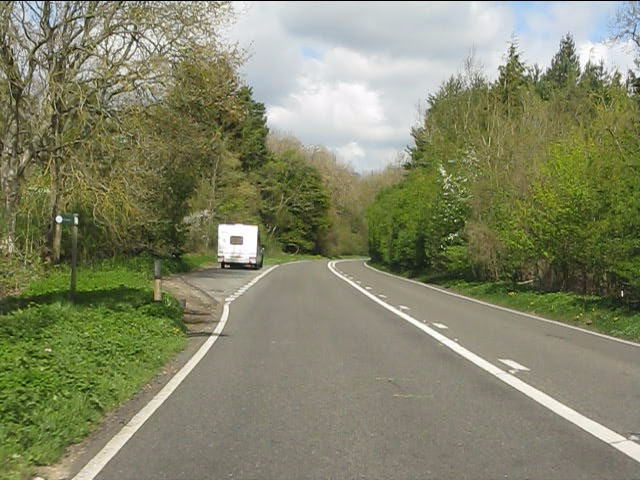
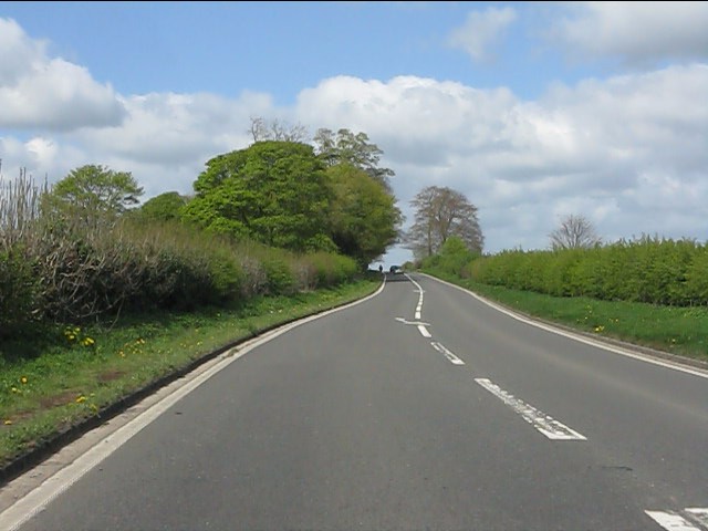
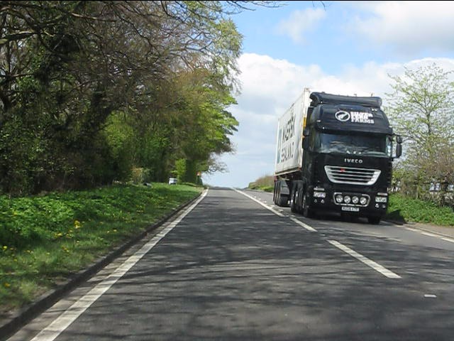
Burchie's Copse Images

Images are sourced within 2km of 51.892808/-1.4034797 or Grid Reference SP4121. Thanks to Geograph Open Source API. All images are credited.

A44 - straight section near Hobbards Hill
A44 at the junction for Glympton
A44 at the bridleway through Berring's Wood Note the sign on the left.
A44 at the bridleway through Berring's Wood
Note the sign on the left.
A44 at the B4027 junction The top of the radio mast can just be seen above the treeline.
A44 at the B4027 junction
The top of the radio mast can just be seen above the treeline.
A44 at Over Kiddington crossroads
A44 north of Over Kiddington crossroads
Hello, old friend! The merest whiff of days gone by on the erstwhile A34 as a Maersk container is whisked southwards, probably en route to Southampton. A reminder of the 1970s and 1980s when this route was stiff with traffic fighting its way between Birmingham and Oxford before the M40 brought blessed relief to communities en route and drivers alike.
Hello, old friend!
The merest whiff of days gone by on the erstwhile A34 as a Maersk container is whisked southwards, probably en route to Southampton. A reminder of the 1970s and 1980s when this route was stiff with traffic fighting its way between Birmingham and Oxford before the M40 brought blessed relief to communities en route and drivers alike.
The A44, Kiddington
The A44, Kiddington
The A44, Kiddington
The A44, Kiddington
The A44 to Enstone
The A44 to Enstone
Bridleway junction This is a bridleway crossroads.  We are looking towards Ditchley Park, the leg used by Shakespeare's Way, having come in from the left.
Bridleway junction
This is a bridleway crossroads. We are looking towards Ditchley Park, the leg used by Shakespeare's Way, having come in from the left.
Kiddington Hall, Kiddington In c1840 Charles Barry remodelled a late C17th house in his favoured Italianate style. Grade II listed.
Kiddington Hall, Kiddington
In c1840 Charles Barry remodelled a late C17th house in his favoured Italianate style. Grade II listed.
Bins & Barns Some of the attractive stone buildings at the Glympton Park Estate premises.
Bins & Barns
Some of the attractive stone buildings at the Glympton Park Estate premises.
The A44 to Oxford The A44 runs from Oxford to Aberystwyth.
The A44 to Oxford
The A44 runs from Oxford to Aberystwyth.
The A44 through Kiddington The A44 runs from Oxford to Aberystwyth.
The A44 through Kiddington
The A44 runs from Oxford to Aberystwyth.
The A44 to Oxford The A44 runs from Oxford to Aberystwyth.
The A44 to Oxford
The A44 runs from Oxford to Aberystwyth.
The A44 to Oxford The A44 runs from Oxford to Aberystwyth.
The A44 to Oxford
The A44 runs from Oxford to Aberystwyth.
The A44 to Oxford The A44 runs from Oxford to Aberystwyth.
The A44 to Oxford
The A44 runs from Oxford to Aberystwyth.
Show me another place!

Burchie's Copse is located at Grid Ref: SP4121 (Lat: 51.892808, Lng: -1.4034797)

Administrative County: Oxfordshire

District: West Oxfordshire

Police Authority: Thames Valley

What 3 Words

///idealist.slap.jams. Near Stonesfield, Oxfordshire

Nearby Locations

Hill Wood Burchie's Copse

Related Wikis

Over Kiddington

Over Kiddington is a hamlet in the civil parish of Kiddington with Asterleigh in Oxfordshire, England, about 7 miles (11 km) southeast of Chipping Norton...

Asterleigh

Asterleigh, sometimes in the past called Esterley, is a farm and deserted medieval village about 3 miles (4.8 km) northeast of Charlbury in Oxfordshire...
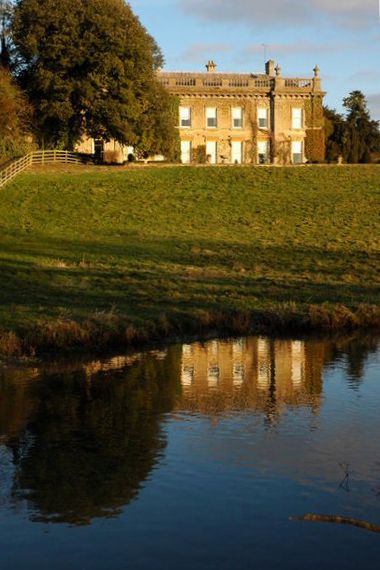
Kiddington Hall

Kiddington Hall is a large Grade II listed manor house located in Kiddington, near Woodstock, Oxfordshire, England. == History == Kiddington Hall was built...

Kiddington

Kiddington is a village in the civil parish of Kiddington with Asterleigh, in the West Oxfordshire district, in the county of Oxfordshire, England. The...

Out Wood

Out Wood is a 19.2-hectare (47-acre) biological Site of Special Scientific Interest east of Charlbury in Oxfordshire.This semi-natural wood is a surviving...

Glympton Park

Glympton Park is a former deer park at Glympton, 3.5 miles (5.6 km) north of Woodstock, Oxfordshire, England. It includes Glympton House (an 18th-century...

Glympton

Glympton is a village and civil parish on the River Glyme about 3 miles (5 km) north of Woodstock, Oxfordshire. The 2001 Census recorded the parish's population...

Ditchley Park

Ditchley Park is a country house near Charlbury in Oxfordshire, England. The estate was once the site of a Roman villa. Later it became a royal hunting...

Nearby Amenities

Located within 500m of 51.892808,-1.4034797
Post Box
Post Box Type: wall
Postal Code: OX20
Ref: OX20 174
Royal Cypher: EIIR
Royal Cypher Wikidata: Q33102113
Lat/Long: 51.8959276/-1.4062755
Post Office
Naptan AtcoCode: 340000858OPP
Naptan Bearing: SE
Naptan BusStopType: CUS
Naptan CommonName: Post Office
Naptan Indicator: Opposite
Naptan Landmark: Post Office
Naptan NaptanCode: oxfapjdw
Naptan Street: A44
Naptan Verified: no
Source: naptan_import
Lat/Long: 51.8961512/-1.4064446
Bus Stop
Post Office
Bus: yes
Mapillary: 184096113471383
Naptan AtcoCode: 340000858OUT
Naptan Bearing: NW
Naptan CommonName: Kiddington Turn
Naptan Indicator: opp
Naptan Landmark: Post Office
Naptan NaptanCode: oxfapjdt
Naptan Street: A44
Naptan Verified: no
Public Transport: platform
Source: naptan;bing;mapillary
Lat/Long: 51.8960487/-1.4064824
Communication Mobile Phone: yes
Man Made: mast
Tower Type: communication
Lat/Long: 51.8935703/-1.3988768
Rest Area
Toilets: no
Lat/Long: 51.8957329/-1.4051056
Over Kiddington
Place: hamlet
Source: OS_OpenData_StreetView
Wikidata: Q7113405
Lat/Long: 51.8964235/-1.4058394
Power: pole
Lat/Long: 51.8970828/-1.4043894
The data included in this document is from www.openstreetmap.org. The data is made available under ODbL.

Have you been to Burchie's Copse?

Leave your review of Burchie's Copse below (or comments, questions and feedback).