Alverton Wood

Wood, Forest in Yorkshire Hambleton

England

Alverton Wood

Pasture House
Pasture House Credit: Chris Heaton

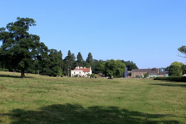
Alverton Wood is a picturesque forest located in the heart of Yorkshire, England. Covering an area of approximately 500 acres, this enchanting woodland is renowned for its natural beauty and diverse ecosystem. It is nestled within the rolling hills and valleys of the Yorkshire Dales, making it a popular destination for nature enthusiasts and outdoor lovers.

The wood is predominantly composed of deciduous trees, including oak, beech, and ash, which provide a stunning display of colors during the autumn months. The forest floor is adorned with a rich carpet of mosses, ferns, and wildflowers, creating a vibrant and tranquil atmosphere.

Alverton Wood is home to a wide array of wildlife, making it a haven for birdwatchers and wildlife photographers. Bird species such as woodpeckers, owls, and warblers can be spotted amongst the treetops, while deer, foxes, and badgers roam the forest floor. The woodland also boasts a diverse range of insect life, including butterflies, beetles, and dragonflies.

The wood offers a variety of recreational activities for visitors to enjoy. Several well-marked walking trails wind through the forest, providing opportunities for both leisurely strolls and more challenging hikes. There are also designated picnic areas and benches scattered throughout the wood, allowing visitors to relax and immerse themselves in the peaceful surroundings.

Alverton Wood, with its breathtaking scenery and abundant wildlife, is a true gem in the Yorkshire countryside, offering a serene and rejuvenating experience for all who venture into its depths.

If you have any feedback on the listing, please let us know in the comments section below.

Alverton Wood Images

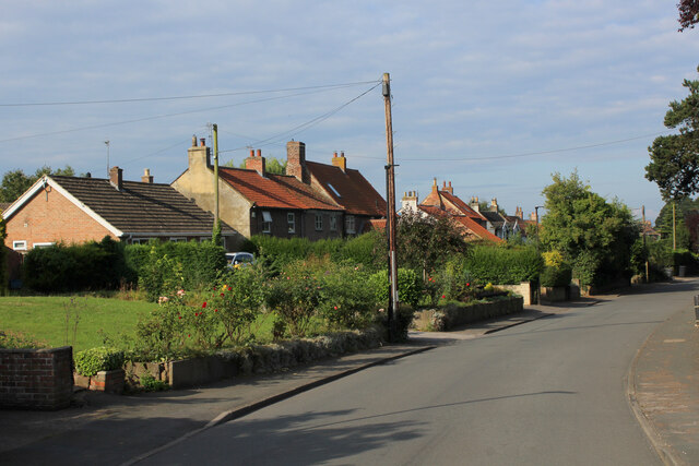
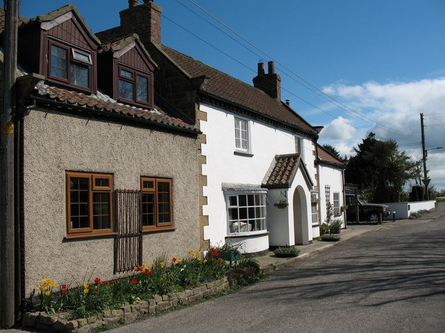
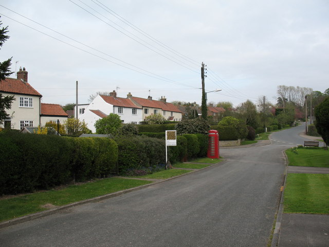
Images are sourced within 2km of 54.288212/-1.3730747 or Grid Reference SE4088. Thanks to Geograph Open Source API. All images are credited.

Pasture House
Pasture House
Pillrigg Lane Follows the line of a Roman Road originating in York.  This looks like a splendid track on the definitive map, but reality is slightly different.
A narrow grass track with hedge, scrub and stunted trees crowding in on both sides, with a highly rutted and unpleasant surface left by the passage of horses.
Pillrigg Lane
Follows the line of a Roman Road originating in York. This looks like a splendid track on the definitive map, but reality is slightly different. A narrow grass track with hedge, scrub and stunted trees crowding in on both sides, with a highly rutted and unpleasant surface left by the passage of horses.
Field beside Pillrigg Lane
The Black Swan has died The village pub and restaurant has been closed for some time and is beginning to look rather shabby.
The Black Swan has died
The village pub and restaurant has been closed for some time and is beginning to look rather shabby.
Village street, Thornton le Moor Looking east towards a rather grand pseudo Tudor house of circa 1900.
Village street, Thornton le Moor
Looking east towards a rather grand pseudo Tudor house of circa 1900.
Thornton-le-Moor The main street running through this attractive village, located in countryside between Northallerton and Thirsk
Thornton-le-Moor
The main street running through this attractive village, located in countryside between Northallerton and Thirsk
Crindle Carr Lane Lane running west towards the village of Thornton-le-Moor from the A168
Crindle Carr Lane
Lane running west towards the village of Thornton-le-Moor from the A168
Entering Thornton-le-Moor on Thiefhole Lane
Field beside Bestmire Lane
Main Street, Thornton-le-Moor
Crindle Carr Lane joins the A168
Farmland, Summer Carr
A168 towards Thirsk
A168 towards Thirsk
The Black Swan Inn
The Black Swan Inn
Farm track, Thornton le Moor
Farmland, Thornton le Moor
Brown and white Ploughed field to the south of Thornton le Moor.
Brown and white
Ploughed field to the south of Thornton le Moor.
Helpful sign, Thornton le Moor There might be some excuse for confusion here as older 1:50000 maps do show the footpath entering this field. One wonders where the CCTV camera might be concealed.
Helpful sign, Thornton le Moor
There might be some excuse for confusion here as older 1:50000 maps do show the footpath entering this field. One wonders where the CCTV camera might be concealed.
Show me another place!

Alverton Wood is located at Grid Ref: SE4088 (Lat: 54.288212, Lng: -1.3730747)

Division: North Riding

Administrative County: North Yorkshire

District: Hambleton

Police Authority: North Yorkshire

What 3 Words

///award.acid.upsetting. Near Thirsk, North Yorkshire

Related Wikis

Have you been to Alverton Wood?

Leave your review of Alverton Wood below (or comments, questions and feedback).