Donisthorpe
Settlement in Derbyshire / Leicestershire North West Leicestershire
England
Donisthorpe
Donisthorpe is a small village located on the border between Derbyshire and Leicestershire, in the heart of England. Situated in the National Forest, it is surrounded by picturesque countryside and offers a peaceful and idyllic setting.
The village is known for its rich history and heritage. It was once a bustling mining community, with coal mining being the primary industry in the area. However, the last mine closed in the 1990s, and today, the village has transformed into a quiet residential area.
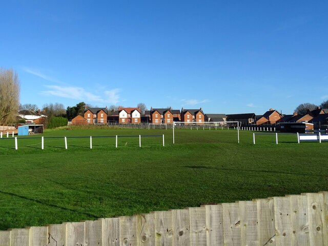
Despite its small size, Donisthorpe is well-equipped with essential amenities. It has a primary school, a village hall, a post office, and a local shop, providing convenience for its residents. There are also several pubs and restaurants where locals and visitors can enjoy a meal or a drink.
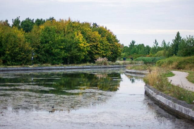
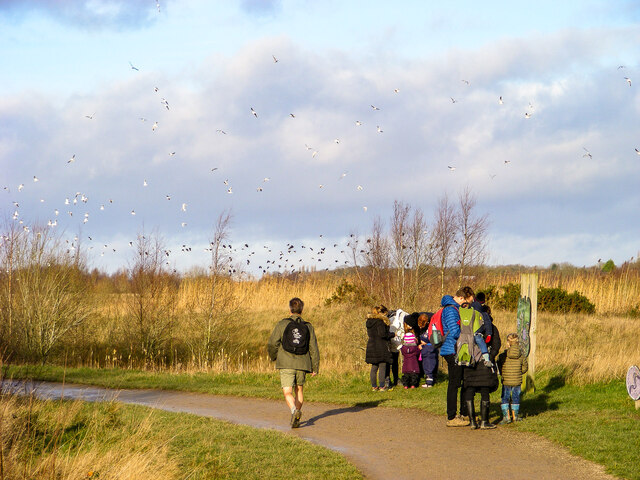
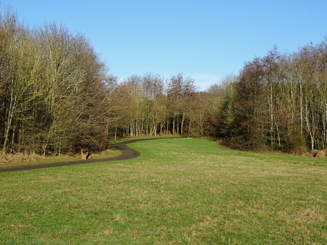
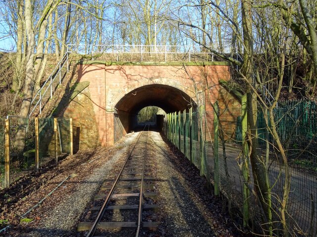
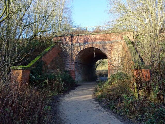
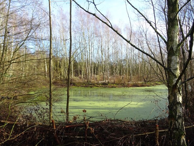
Nature enthusiasts will appreciate the beautiful surrounding countryside, which offers opportunities for walking, cycling, and exploring the National Forest. The nearby Hicks Lodge is a popular spot for outdoor activities, with its network of trails and stunning woodland scenery.
Donisthorpe is conveniently located near major transport links, with easy access to the M1 motorway and nearby towns such as Burton upon Trent and Ashby-de-la-Zouch. It is also within commuting distance of cities like Derby, Leicester, and Nottingham.
Overall, Donisthorpe is a charming village that combines its industrial past with its natural beauty, making it an appealing place to live or visit for those seeking a peaceful countryside retreat.
If you have any feedback on the listing, please let us know in the comments section below.
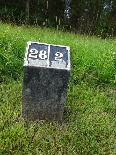
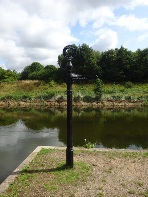
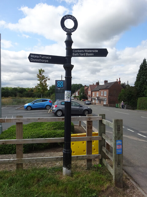
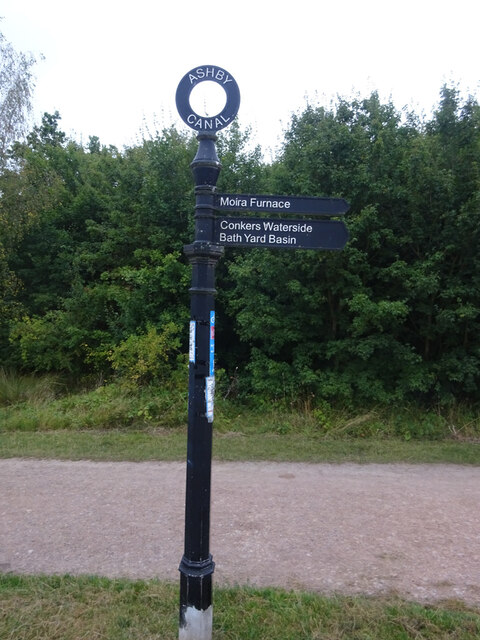
Donisthorpe Images
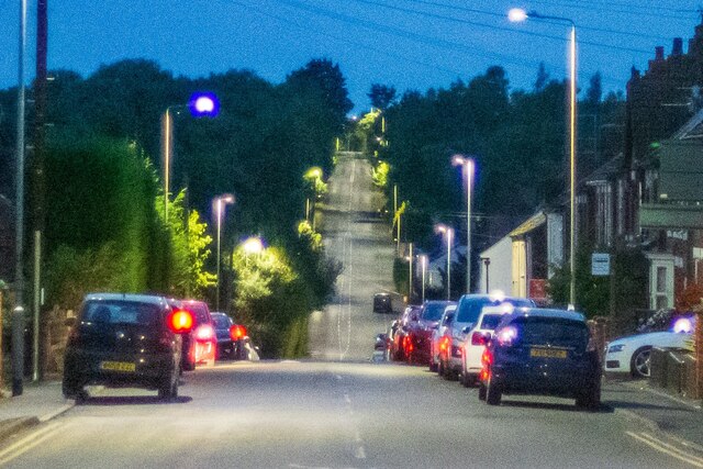
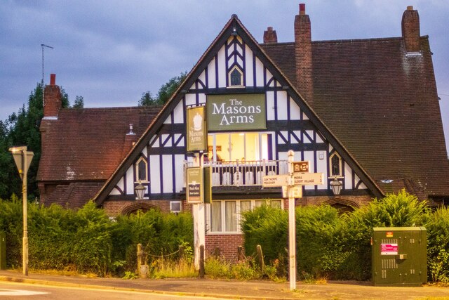
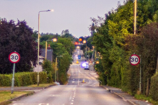
Images are sourced within 2km of 52.724092/-1.543186 or Grid Reference SK3014. Thanks to Geograph Open Source API. All images are credited.


Donisthorpe is located at Grid Ref: SK3014 (Lat: 52.724092, Lng: -1.543186)
Administrative County: Leicestershire
District: North West Leicestershire
Police Authority: Leicestershire
What 3 Words
///treaty.twitchy.evolving. Near Donisthorpe, Leicestershire
Nearby Locations
Related Wikis

Donisthorpe
Donisthorpe is a village in the North West Leicestershire district of Leicestershire, England, historically an exclave of Derbyshire. == History == In...

Donisthorpe railway station
Donisthorpe railway station is a disused railway station that formerly served the village of Donisthorpe, North West Leicestershire, from 1874 to 1931...

Short Heath, Derbyshire
Short Heath is a hamlet near Overseal, in South Derbyshire. It is on the border with Leicestershire and has a sign where it claims to be the centre of...

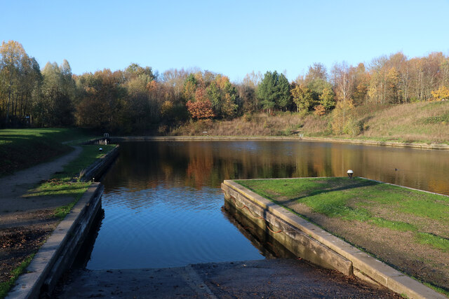
Donisthorpe Woodland Park
Donisthorpe Woodland Park is located on Church Street, Donisthorpe in North West Leicestershire. == Description == A 36-hectare former colliery site (Donisthorpe...
Nearby Amenities
Located within 500m of 52.724092,-1.543186Have you been to Donisthorpe?
Leave your review of Donisthorpe below (or comments, questions and feedback).