Ash Plantations
Wood, Forest in Oxfordshire West Oxfordshire
England
Ash Plantations
Ash Plantations is a woodland area located in Oxfordshire, England. Situated in the heart of the county, it spans a vast area of land and is known for its dense population of ash trees. The plantation is a significant natural resource, providing a habitat for various flora and fauna species.
The ash trees that dominate the plantation are known for their tall and straight trunks, making them suitable for timber production. As a result, the area has been managed for centuries, with selective felling and replanting practices in place to ensure its sustainability. The wood harvested from Ash Plantations is highly sought after and used for a range of purposes, including furniture, construction, and fuel.
The forest floor of Ash Plantations is rich in biodiversity, supporting a diverse range of plant species. Wildflowers, ferns, and mosses can be found thriving in the undergrowth, creating a vibrant and colorful environment. The woodland also provides a haven for many wildlife species, including birds, insects, and small mammals.
Ash Plantations is a popular destination for nature enthusiasts and walkers who can explore its numerous trails and paths. The woodland offers a tranquil and peaceful setting, allowing visitors to immerse themselves in the beauty of nature. The management of the plantation ensures that the area remains accessible and well-maintained for the enjoyment of visitors while preserving its ecological integrity.
Overall, Ash Plantations in Oxfordshire is a thriving woodland area with a rich history and ecological significance. Its remarkable ash trees, diverse flora and fauna, and well-maintained trails make it a valuable asset to both the local community and nature lovers alike.
If you have any feedback on the listing, please let us know in the comments section below.
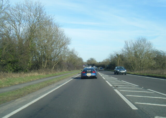
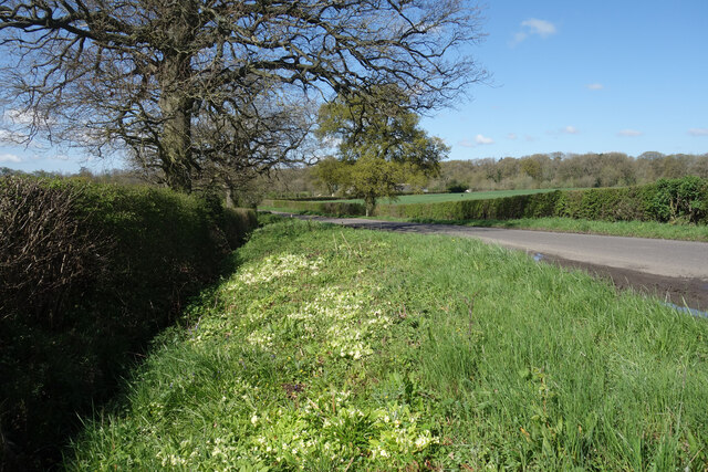
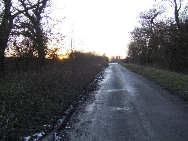
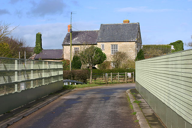
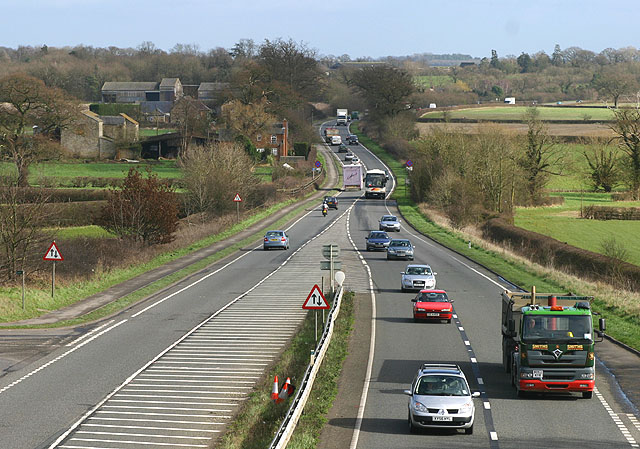
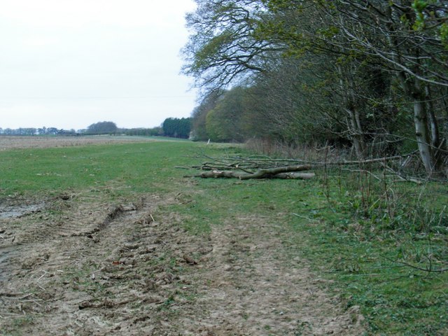
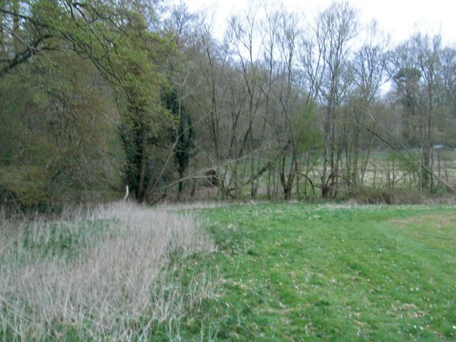
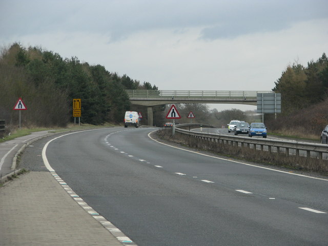
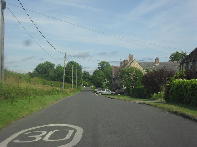
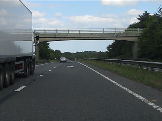
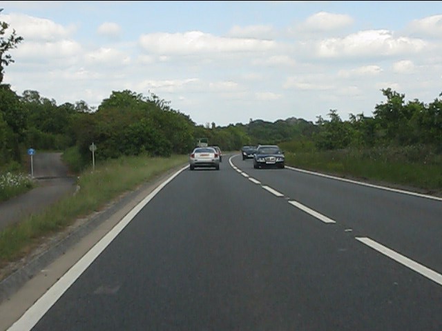
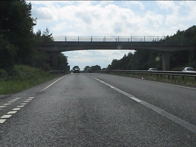
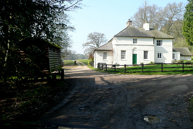
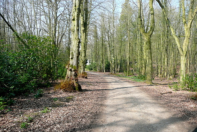
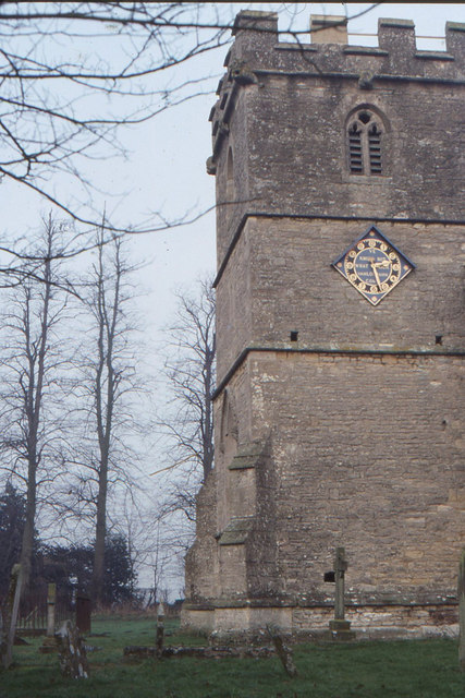
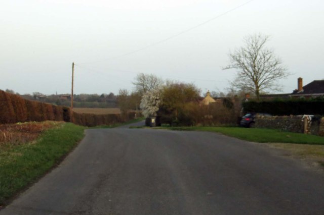
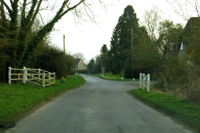
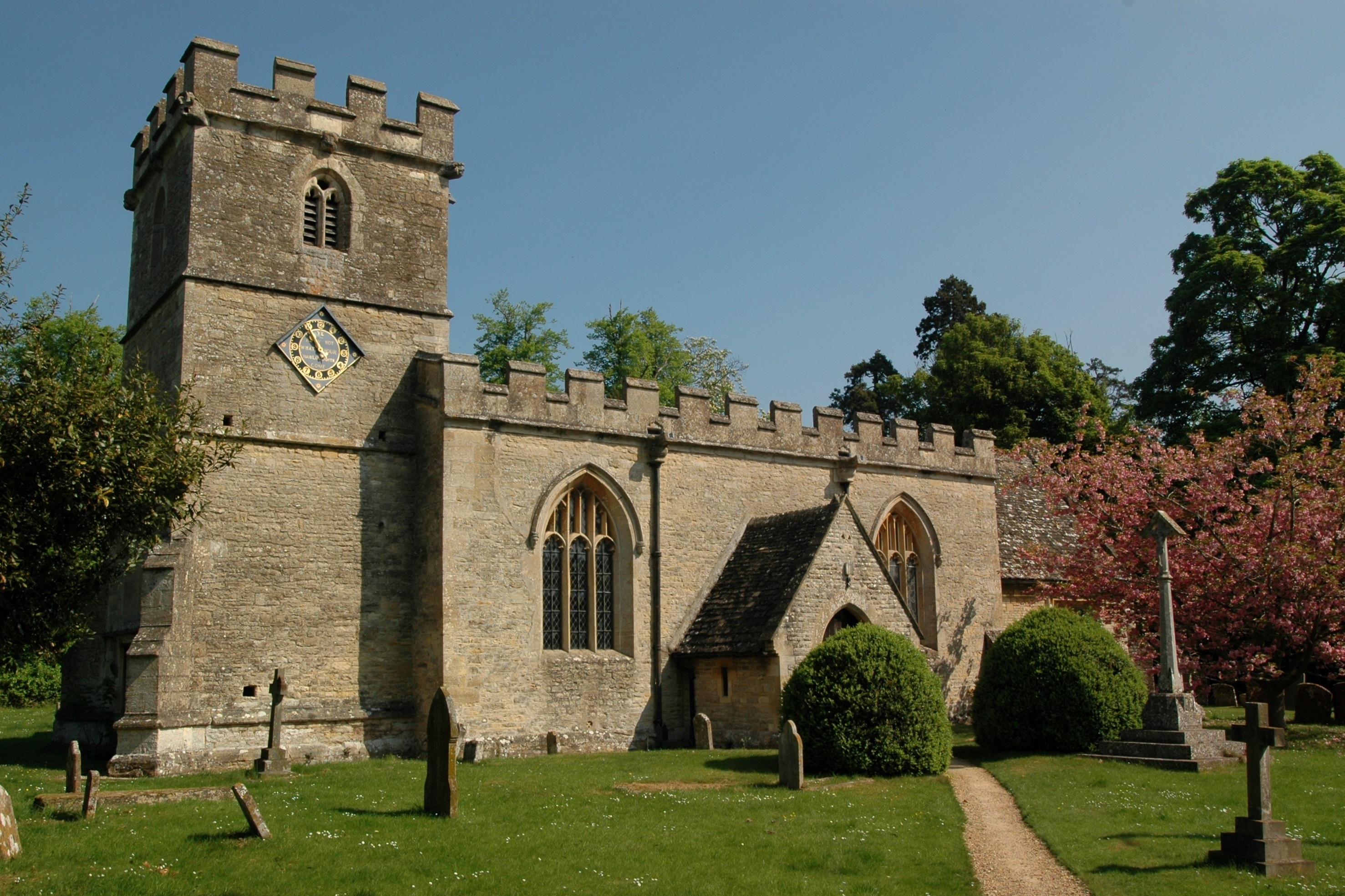
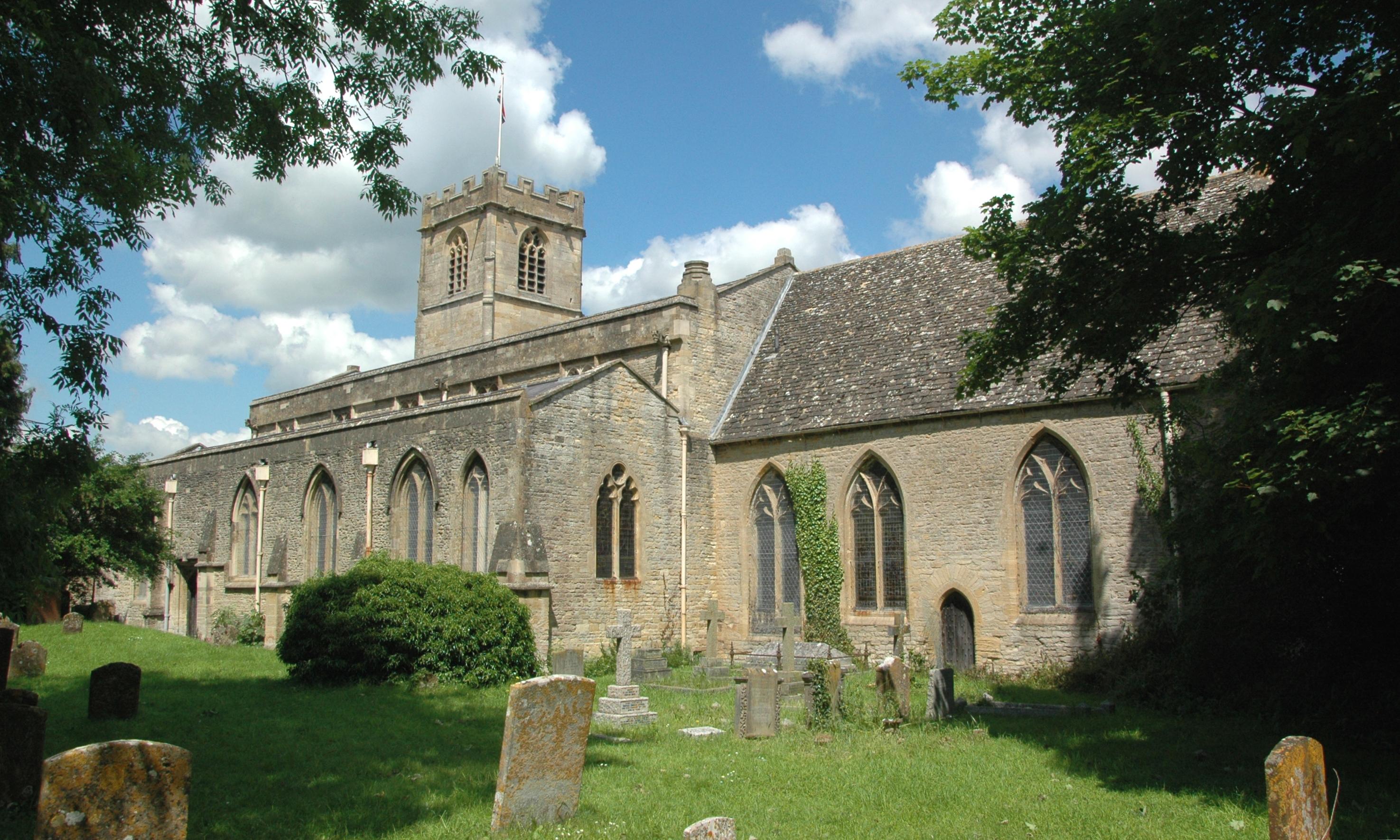
Ash Plantations Images
Images are sourced within 2km of 51.784661/-1.4137206 or Grid Reference SP4009. Thanks to Geograph Open Source API. All images are credited.

Ash Plantations is located at Grid Ref: SP4009 (Lat: 51.784661, Lng: -1.4137206)
Administrative County: Oxfordshire
District: West Oxfordshire
Police Authority: Thames Valley
What 3 Words
///strutted.wording.quality. Near Eynsham, Oxfordshire
Nearby Locations
Related Wikis

Barnard Gate
Barnard Gate is a hamlet about 3 miles (4.8 km) east of Witney in Oxfordshire. It has a public house, the Boot Inn. == References ==
South Leigh
There is also a Southleigh in Devon.South Leigh is a village and civil parish on Limb Brook, a small tributary of the River Thames, about 2+1⁄2 miles...
Tilgarsley
Tilgarsley was a village in Oxfordshire. It was recorded as existing in 1279 and was abandoned before 1350 as a result of the Black Death. It is thought...

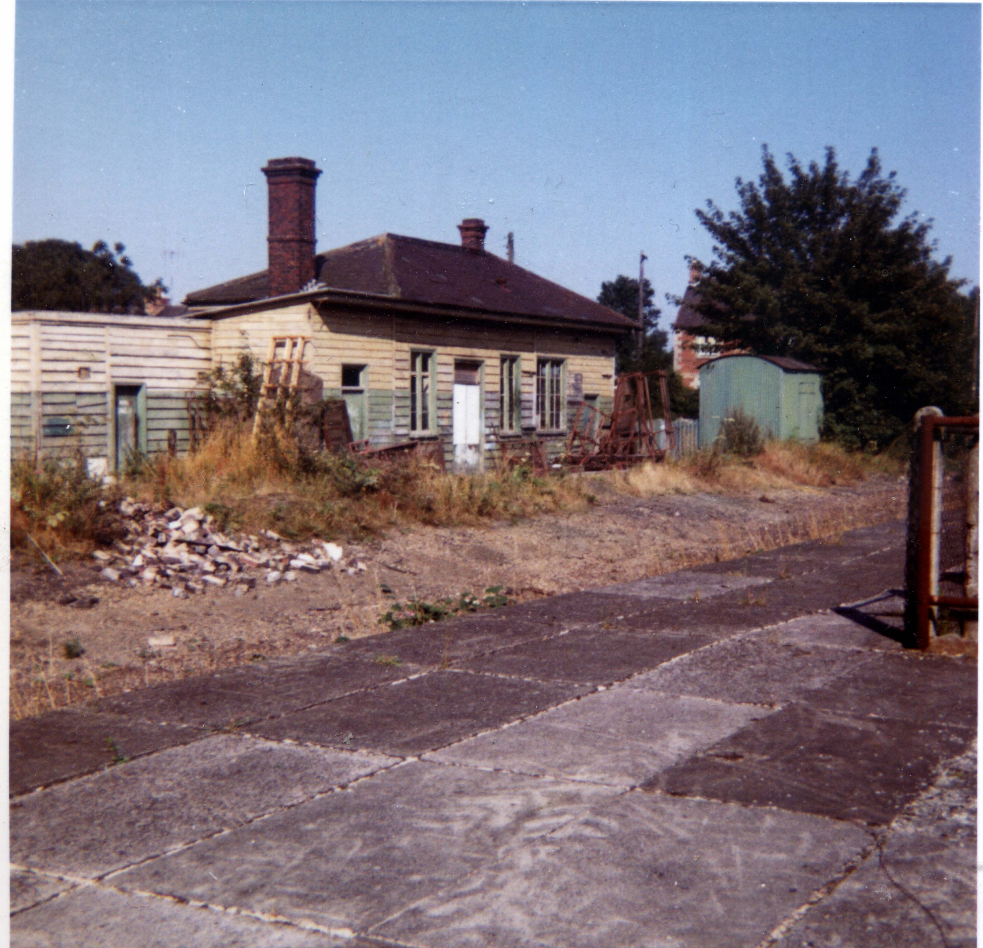
South Leigh railway station
South Leigh railway station was a single-platform station that served the Oxfordshire village of South Leigh on the Oxford, Witney and Fairford Railway...
Bartholomew School
Bartholomew School is a secondary school with academy status which is situated in the village of Eynsham, West Oxfordshire, England. In the 2016/17 school...
Eynsham railway station
Eynsham railway station served the Oxfordshire town of Eynsham and the Eynsham Sugar Beet Factory on the Oxford, Witney and Fairford Railway between Oxford...
Eynsham
Eynsham is an English village and civil parish in Oxfordshire, about 5 miles (8 km) north-west of Oxford and east of Witney. The 2011 Census recorded...

Church Hanborough
Church Hanborough is a village in Hanborough civil parish about 5 miles (8 km) northeast of Witney in Oxfordshire. == Manor == The Domesday Book of 1086...
Nearby Amenities
Located within 500m of 51.784661,-1.4137206Have you been to Ash Plantations?
Leave your review of Ash Plantations below (or comments, questions and feedback).