Assage Wood
Wood, Forest in Leicestershire North West Leicestershire
England
Assage Wood

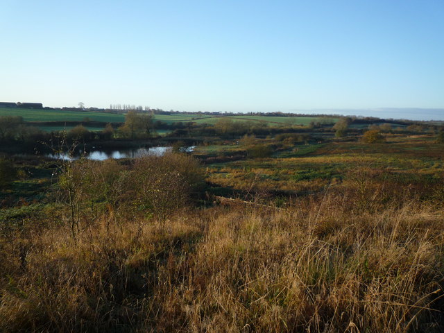
Assage Wood is a picturesque woodland located in Leicestershire, England. Covering an area of approximately 100 acres, it is one of the largest and most diverse forests in the region. The wood is situated near the village of Woodhouse Eaves, and its proximity to the Charnwood Forest makes it a popular destination for nature enthusiasts and hikers.
The woodland is predominantly composed of native broadleaf trees, such as oak, beech, and birch, which create a dense and enchanting canopy. The forest floor is adorned with an array of wildflowers, including bluebells, wood sorrels, and primroses, offering a vibrant display of colors during the spring and summer months.
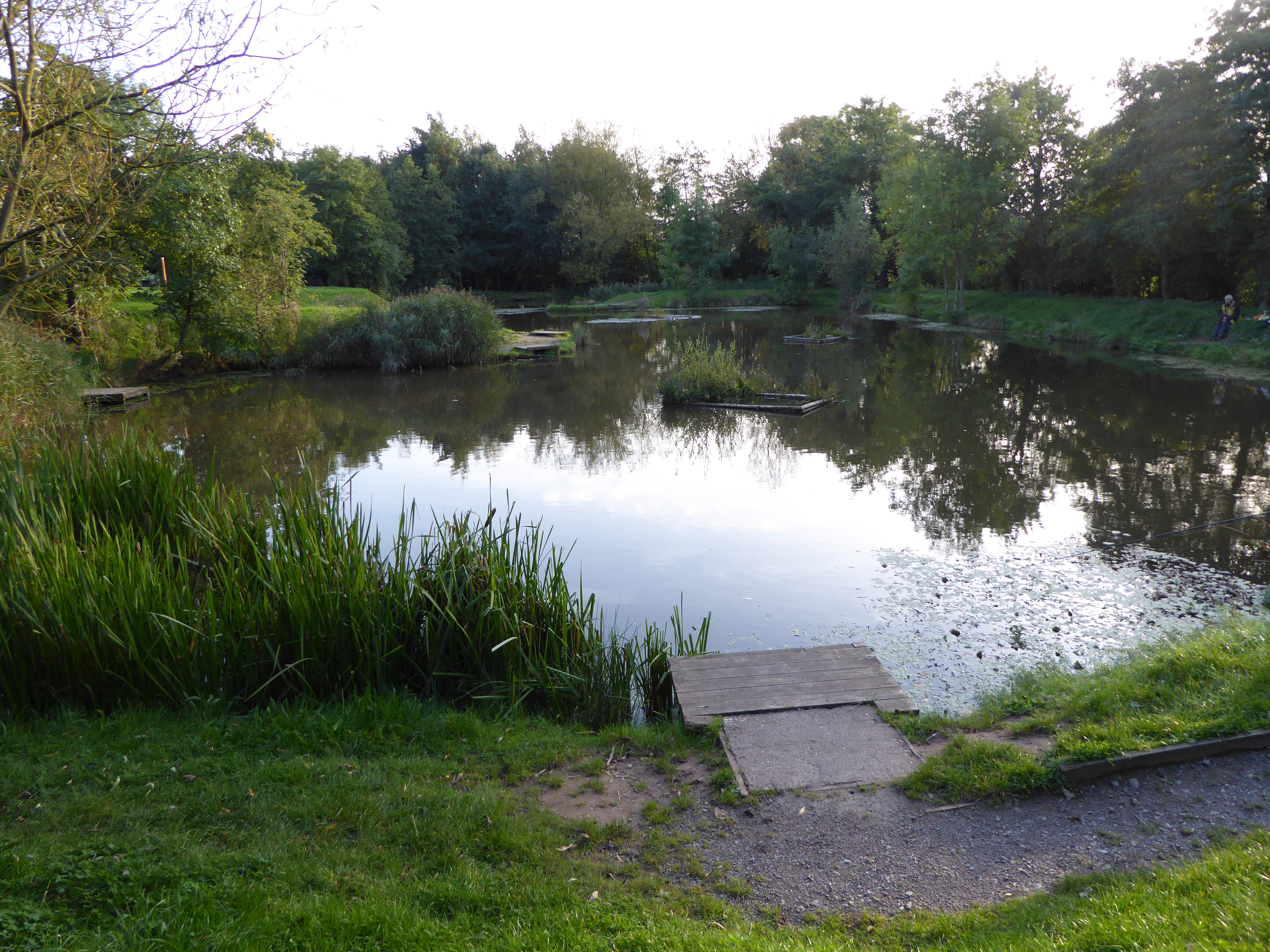
Assage Wood is home to a variety of wildlife, making it a haven for nature lovers. Visitors may encounter several bird species, such as woodpeckers, jays, and owls, as well as small mammals like foxes, badgers, and squirrels. The diverse ecosystem also supports a range of insects, including butterflies and beetles.
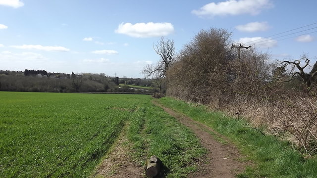
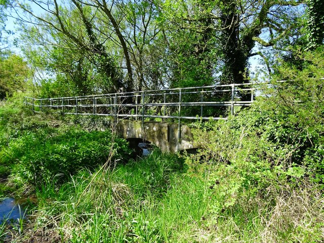
The wood features several well-maintained footpaths and trails, allowing visitors to explore its beauty at their own pace. These paths offer a mix of easy walks and more challenging routes, catering to all levels of fitness and experience. Additionally, there are picnic areas and benches dotted throughout the wood, providing opportunities for relaxation and enjoying the serene surroundings.
Overall, Assage Wood is a captivating and tranquil forest that offers an immersive nature experience. With its rich biodiversity and stunning landscapes, it is a must-visit destination for anyone seeking to reconnect with nature in Leicestershire.
If you have any feedback on the listing, please let us know in the comments section below.
Assage Wood Images
Images are sourced within 2km of 52.71409/-1.4026769 or Grid Reference SK4013. Thanks to Geograph Open Source API. All images are credited.


Assage Wood is located at Grid Ref: SK4013 (Lat: 52.71409, Lng: -1.4026769)
Administrative County: Leicestershire
District: North West Leicestershire
Police Authority: Leicestershire
What 3 Words
///soak.payer.probe. Near Ravenstone, Leicestershire
Nearby Locations
Related Wikis

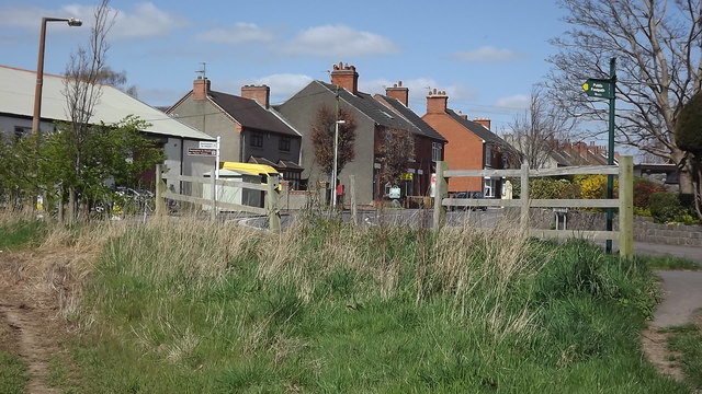
Ravenstone, Leicestershire
Ravenstone is a village and former civil parish, now in the parish of Ravenstone with Snibstone, in the North West Leicestershire district, in the county...

Ravenstone with Snibston
Ravenstone with Snibston is a civil parish in the North West Leicestershire district of Leicestershire, England. According to the 2001 census it had a...
Kelham Bridge
Kelham Bridge is a 8.1 hectares (20 acres) nature reserve north of Ibstock in Leicestershire. It is owned and managed by the Leicestershire and Rutland...
Snibston Grange
Snibston Grange is a 3.2 hectare Local Nature Reserve on the western outskirts of Coalville in Leicestershire. It is owned and managed by Leicestershire...
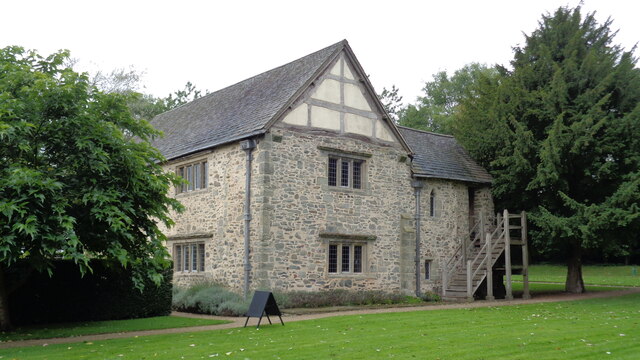
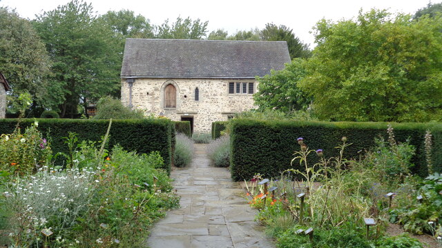
Donington le Heath Manor House Museum
Donington le Heath Manor House Museum, now 'The 1620s House and Garden at Donington le Heath' is a surviving example of a manor house built over seven...

Donington le Heath
Donington le Heath is a village on the River Sence just over 1 mile (1.6 km) south of the centre of Coalville in North West Leicestershire. Donington is...

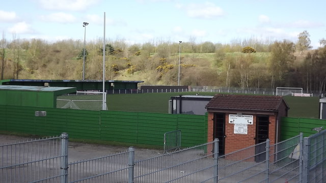
Coalville Town F.C.
Coalville Town Football Club is a football club based in Coalville, Leicestershire, England. They are currently members of the Southern League Premier...
Snibston Colliery Ground
Snibston Colliery Ground was a cricket ground in Coalville, Leicestershire. The land for the cricket ground was originally set aside for the miners at...
Nearby Amenities
Located within 500m of 52.71409,-1.4026769Have you been to Assage Wood?
Leave your review of Assage Wood below (or comments, questions and feedback).