Banbury Copse
Wood, Forest in Oxfordshire West Oxfordshire
England
Banbury Copse
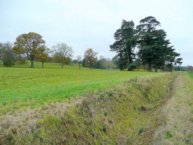
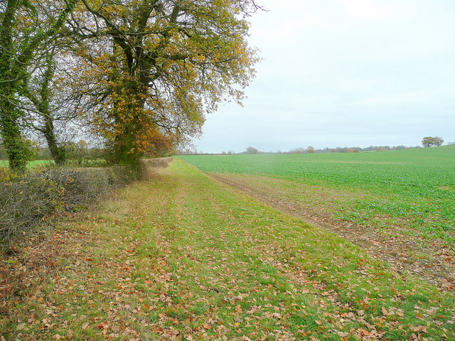
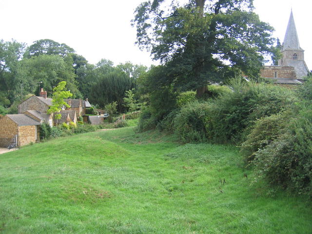
Banbury Copse is a picturesque woodland area located in Oxfordshire, England. Covering an expansive area of around 200 acres, it is a haven for nature enthusiasts and those seeking tranquility amidst the beauty of the natural world.
The copse is predominantly composed of mature trees, including oak, beech, and ash, which create a dense canopy overhead. This provides a cool and shaded environment, perfect for leisurely walks or picnics on hot summer days. The forest floor is adorned with a rich carpet of wildflowers, adding bursts of color to the serene surroundings.
One of the key features of Banbury Copse is its diverse wildlife. The woodland acts as a habitat for numerous species, including squirrels, badgers, and a variety of birds such as woodpeckers and owls. Nature lovers can often spot these creatures going about their daily routines, making it an ideal spot for birdwatching and wildlife photography.
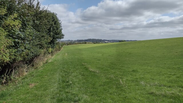
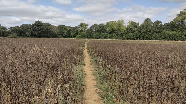
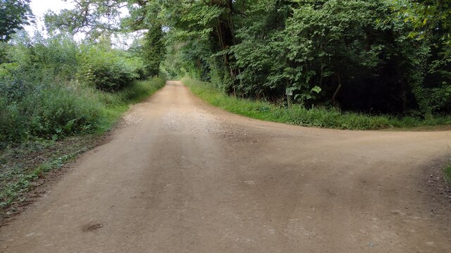
Several well-maintained footpaths wind their way through the copse, allowing visitors to explore its enchanting beauty. These trails offer a chance to immerse oneself in nature and appreciate the peace and serenity that the woodland has to offer. Additionally, there are designated picnic areas and benches strategically placed throughout the copse, providing opportunities for visitors to relax and enjoy the surroundings.
Banbury Copse is a true gem in Oxfordshire, offering a tranquil escape from the hustle and bustle of everyday life. Its beauty, wildlife, and serene atmosphere make it a popular destination for nature enthusiasts and those seeking solace in the heart of nature.
If you have any feedback on the listing, please let us know in the comments section below.
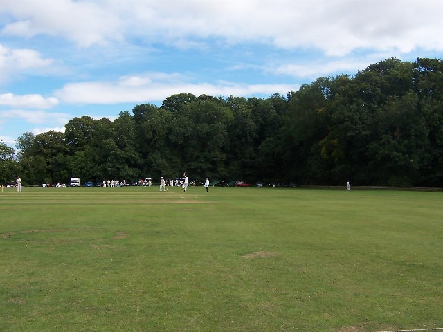
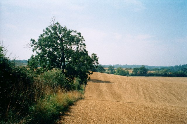
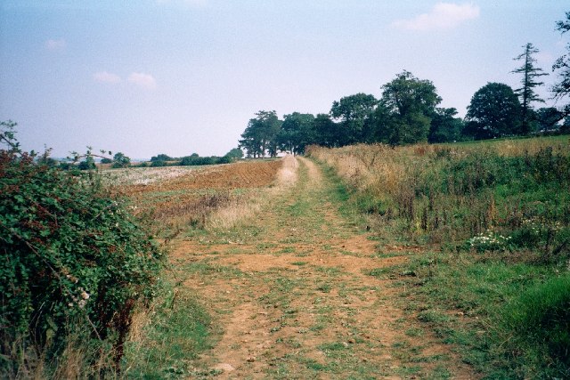
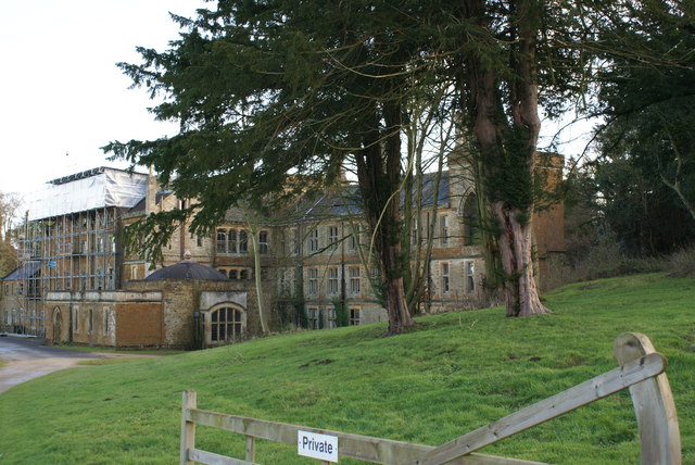
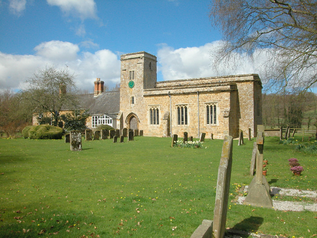
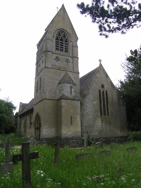
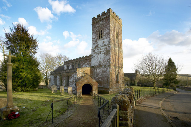
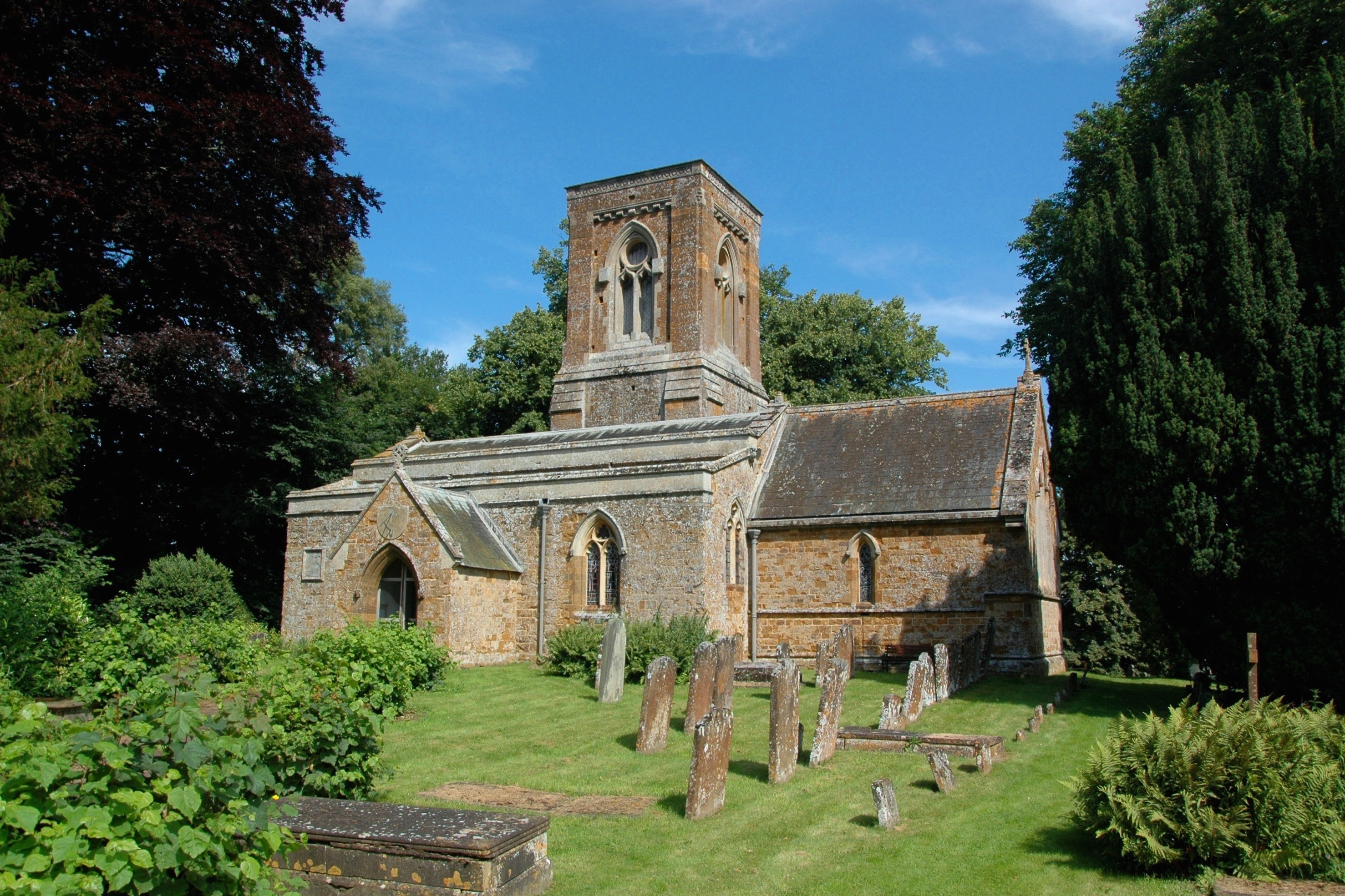
Banbury Copse Images
Images are sourced within 2km of 51.974854/-1.4131934 or Grid Reference SP4030. Thanks to Geograph Open Source API. All images are credited.


Banbury Copse is located at Grid Ref: SP4030 (Lat: 51.974854, Lng: -1.4131934)
Administrative County: Oxfordshire
District: West Oxfordshire
Police Authority: Thames Valley
What 3 Words
///intruded.probable.detection. Near Hook Norton, Oxfordshire
Nearby Locations
Related Wikis

Great Tew
Great Tew is an English village and civil parish in Oxfordshire, about 5 miles (8 km) north-east of Chipping Norton and 8 miles (13 km) south-west of Banbury...

South Newington
South Newington is a village and civil parish on the south bank of the River Swere in the Cotswold Hills in Oxfordshire, England, about 5 miles (8 km)...
Nether Worton
Nether Worton is a hamlet in the civil parish of Worton, in the West Oxfordshire district, in the county of Oxfordshire, England. It is about 6+1⁄2 miles...
Little Tew
Little Tew is an English village and civil parish about 4+1⁄2 miles (7 km) northeast of Chipping Norton and 8+1⁄2 miles (14 km) southwest of Banbury in...
Wigginton, Oxfordshire
Wigginton is a village and civil parish about 6 miles (10 km) southwest of Banbury in Oxfordshire. The village is beside the River Swere, which forms the...

Worton (civil parish), Oxfordshire
Worton is a civil parish in the West Oxfordshire district about 7 miles (11 km) south of Banbury, England. It was formed in 1932 by the merger of the parishes...
Over Worton
Over Worton is a hamlet in the civil parish of Worton, in the West Oxfordshire district, in the county of Oxfordshire, England, about 7 miles (11 km) south...
Swerford Castle
Swerford Castle was a medieval castle in the village of Swerford, Oxfordshire, England. == History == Swerford Castle was built in a motte and bailey design...
Related Videos
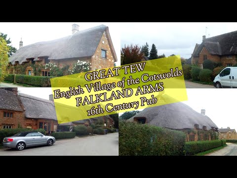
Walking around an English Village of GREAT TEW, UK/ FALKLAND ARMS 16th Century Pub/THATCHED COTTAGES
Great Tew is an English village and civil parish in Oxfordshire, 5 miles of Chipping Norton and 8 miles south west of Banbury.
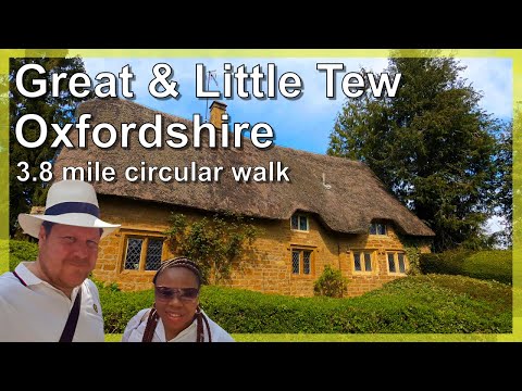
Oxfordshire 3.8 mile circular walk: Great Tew & Little Tew
Great Tew - Little Tew - 3.8 mile circular walk Guided Walk: ...

Cornbury Festival 2018 Highlights!
Cornbury Festival 2018 highlights. Three epic days at Cornbury Music Festival crammed into a three minute video! This was our ...

Indian Motorcycles - Friday Night with UVZ & Friends
Great catch up with Kev from Krazyhorse Motorcycles, Jo from Mad Hatter Motorcycle Tours & Dazzle Rebel Rides @ HBC ...
Nearby Amenities
Located within 500m of 51.974854,-1.4131934Have you been to Banbury Copse?
Leave your review of Banbury Copse below (or comments, questions and feedback).