Ampfield Wood
Wood, Forest in Hampshire Winchester
England
Ampfield Wood

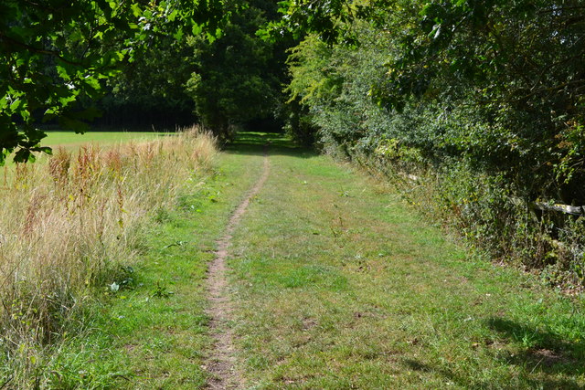
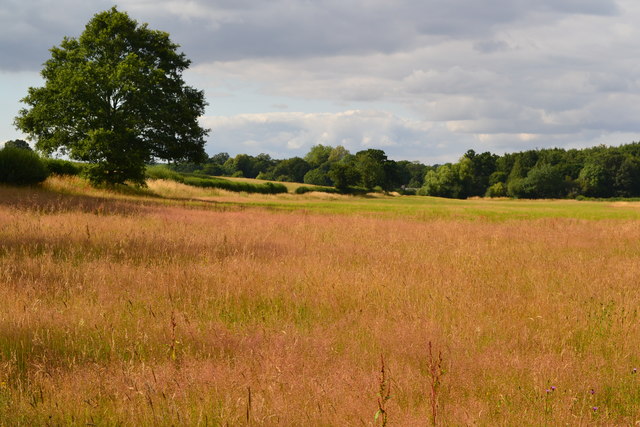
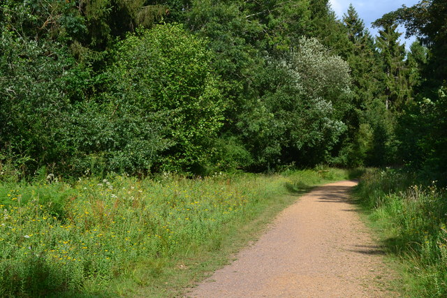
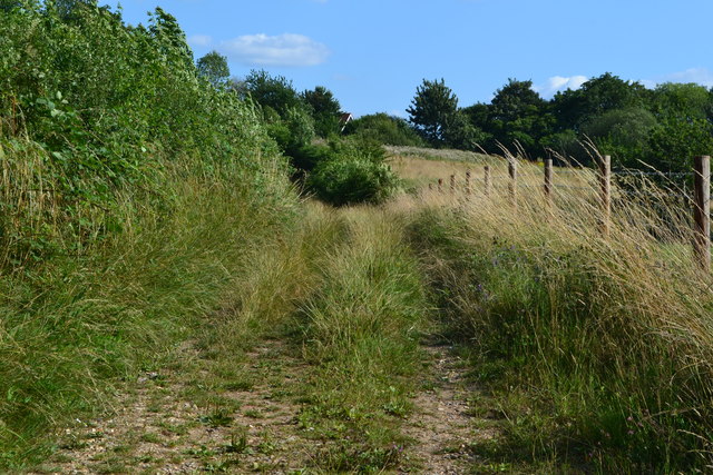
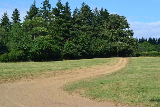
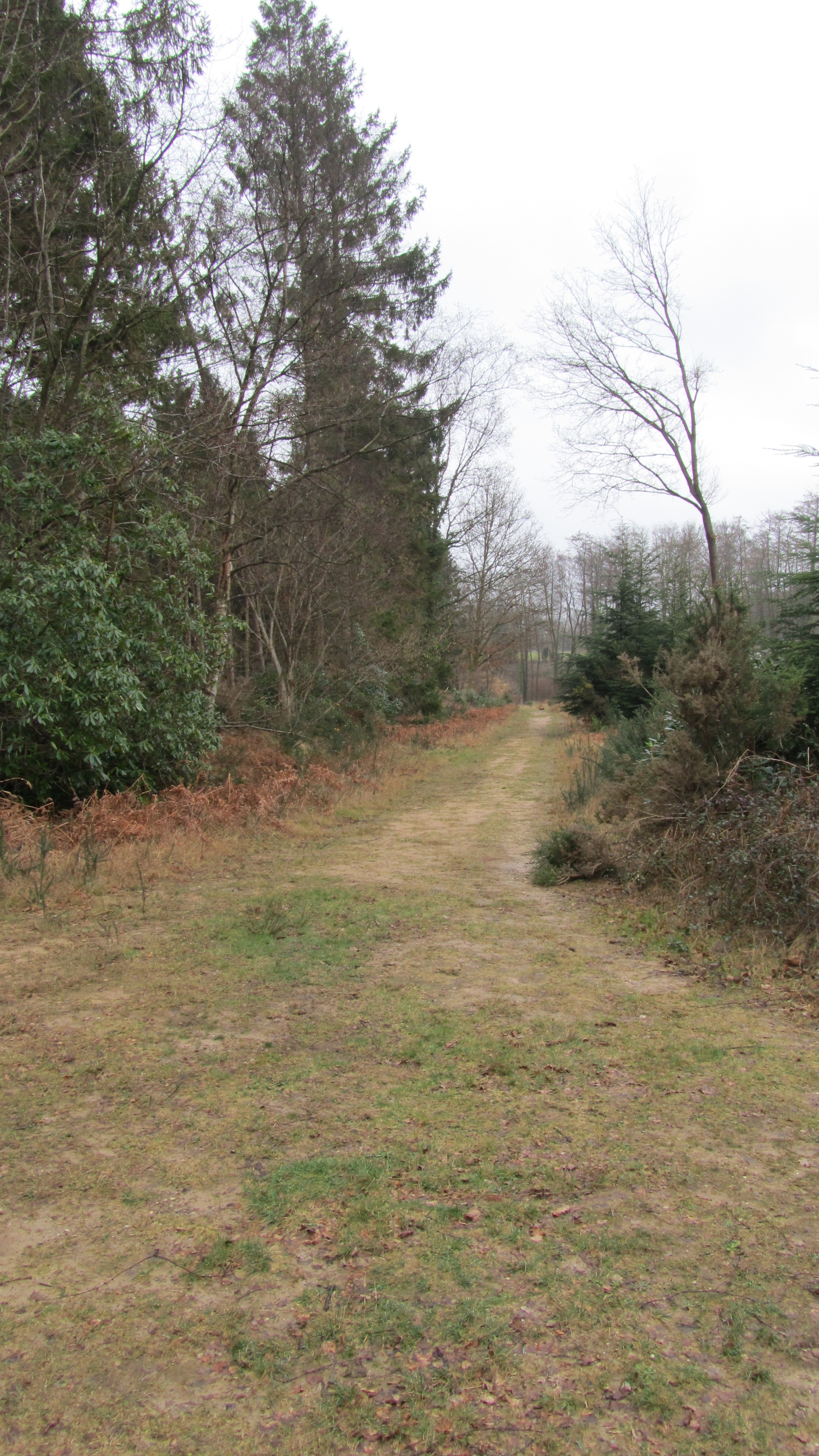
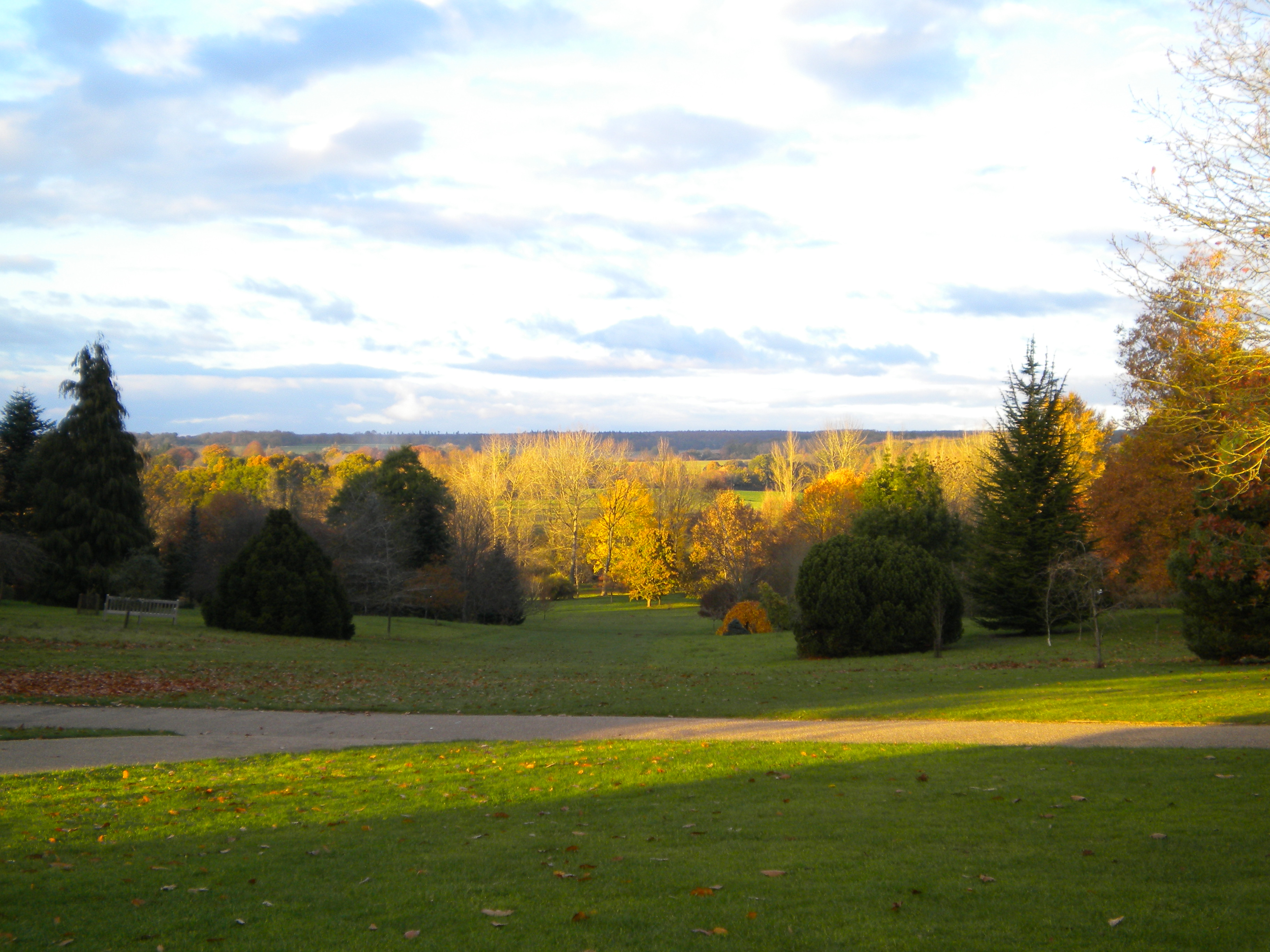
Ampfield Wood is a beautiful woodland located in the county of Hampshire, England. Covering an area of approximately 240 acres, it is a well-preserved natural habitat that offers a serene escape from the hustle and bustle of everyday life.
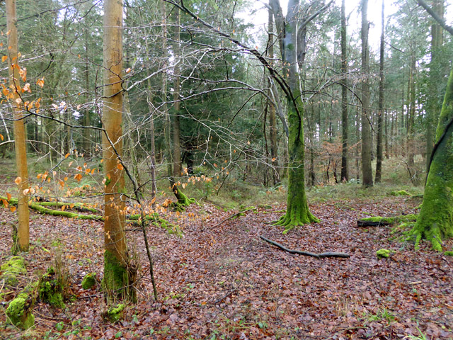
The wood is primarily composed of a mixture of broadleaf trees, including oak, beech, and birch, which create a dense canopy overhead. These trees provide a haven for a variety of wildlife species, making Ampfield Wood a popular spot for nature enthusiasts and bird watchers. Red deer, foxes, badgers, and a range of bird species, such as woodpeckers and nightingales, can often be spotted within the wood.
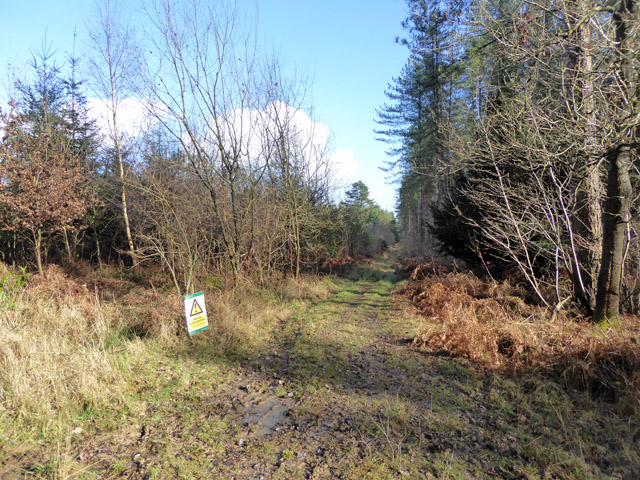
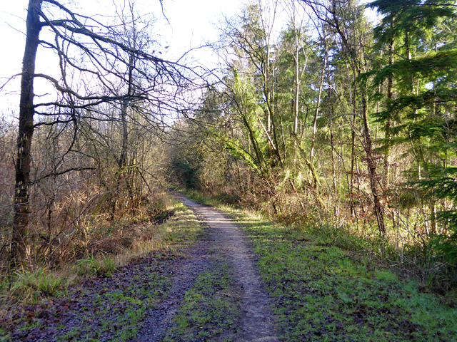
There are several well-maintained footpaths that wind their way through the wood, allowing visitors to explore its beauty at their own pace. These paths are suitable for both walking and cycling, and there are designated picnic areas where visitors can take a break and enjoy the tranquil surroundings.
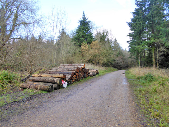
Ampfield Wood also has a rich historical significance. It is believed to have been a medieval hunting ground and was later used for timber production during the 18th and 19th centuries. Today, remnants of old saw pits and charcoal hearths can still be seen, serving as reminders of the wood's past.
Managed by the Forestry Commission, Ampfield Wood is open to the public throughout the year. It offers a wonderful opportunity to connect with nature and experience the peacefulness of a forest environment.
If you have any feedback on the listing, please let us know in the comments section below.
Ampfield Wood Images
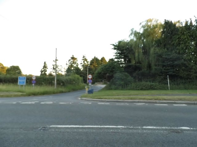
Images are sourced within 2km of 51.017563/-1.4253958 or Grid Reference SU4024. Thanks to Geograph Open Source API. All images are credited.


Ampfield Wood is located at Grid Ref: SU4024 (Lat: 51.017563, Lng: -1.4253958)
Administrative County: Hampshire
District: Winchester
Police Authority: Hampshire
What 3 Words
///finders.distracts.stubborn. Near North Baddesley, Hampshire
Nearby Locations
Related Wikis
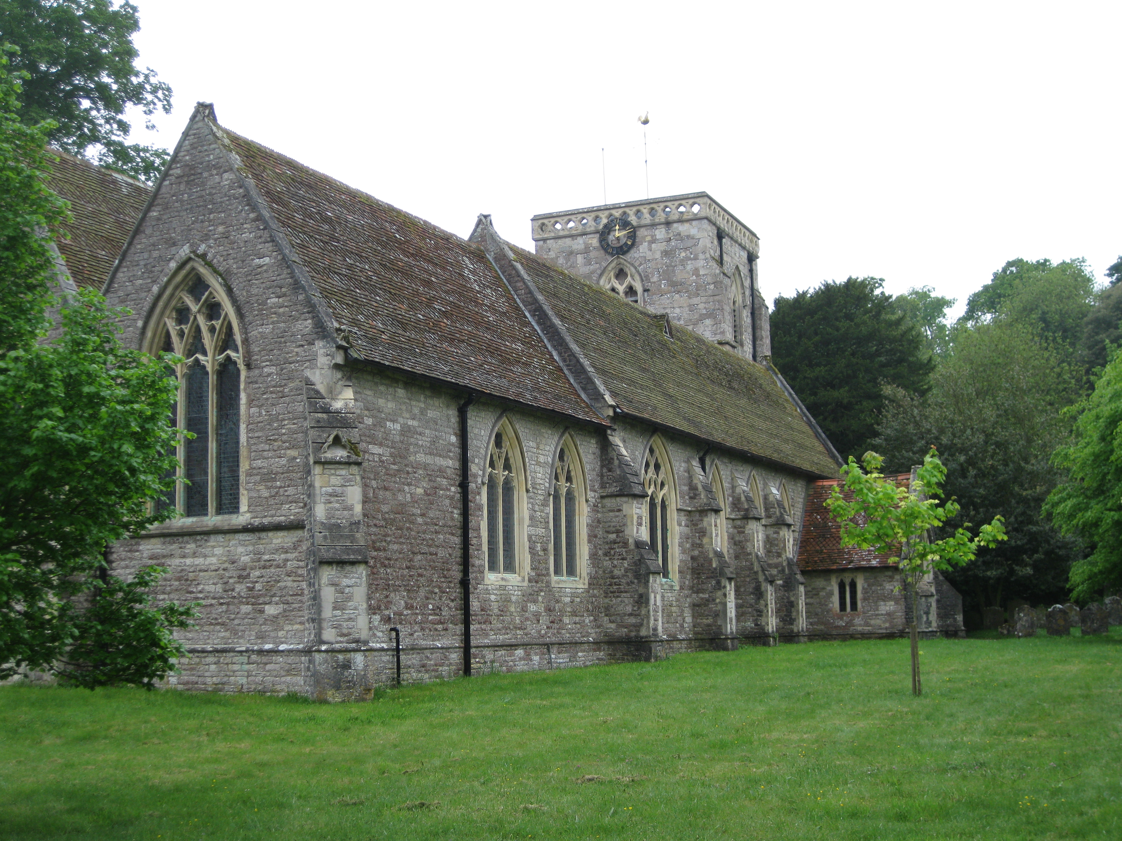
Ampfield
Ampfield is a village and civil parish in the Borough of Test Valley in Hampshire, England, between Romsey, Eastleigh, and Winchester. It had a population...
Ratlake Meadows
Ratlake Meadows is a 4.2-hectare (10-acre) biological Site of Special Scientific Interest north of Chandler's Ford in Hampshire.These unimproved meadows...

The Quarters, Hursley Park
The Quarters is a cricket ground located off Hursley Park Road in the grounds of the former Hursley Park Estate at Hursley, Hampshire, England. Set in...

IBM Hursley
IBM Hursley is a research and development laboratory belonging to International Business Machines in the village of Hursley, Hampshire, England. Established...
Hursley House
Hursley House is an 18th-century Queen Anne style mansion in Hursley, near Winchester in the English county of Hampshire. The building is Grade II* listed...
Hursley
Hursley is a village and civil parish in Hampshire, England with a population of around 900 in 2011. It is located roughly midway between Romsey and Winchester...

Trodds Copse
Trodds Copse (grid reference SU417224) is a 25.23 hectare biological Site of Special Scientific Interest (SSSI), in central Hampshire, notified in 1989...
Sir Harold Hillier Gardens
The Sir Harold Hillier Gardens is an arboretum comprising 72 hectares (180 acres) accommodating over 42,000 trees and shrubs in about 12,000 taxa, notably...
Nearby Amenities
Located within 500m of 51.017563,-1.4253958Have you been to Ampfield Wood?
Leave your review of Ampfield Wood below (or comments, questions and feedback).