Donhead St Mary

Settlement in Wiltshire

England

Donhead St Mary

'The Castle', Milkwell
'The Castle', Milkwell Credit: Roger Cornfoot

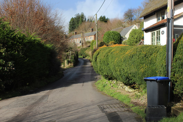
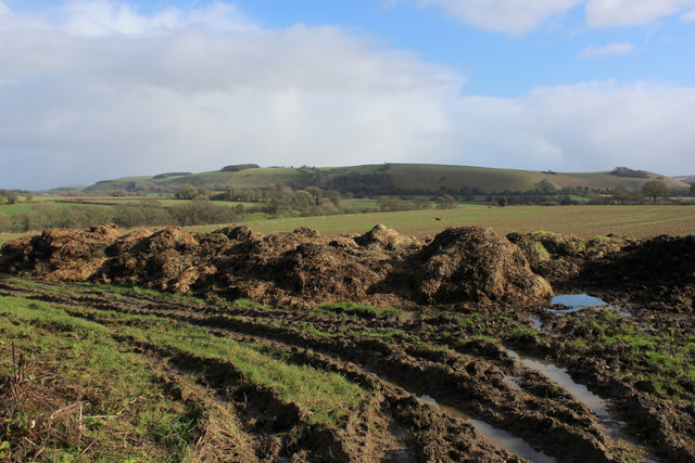
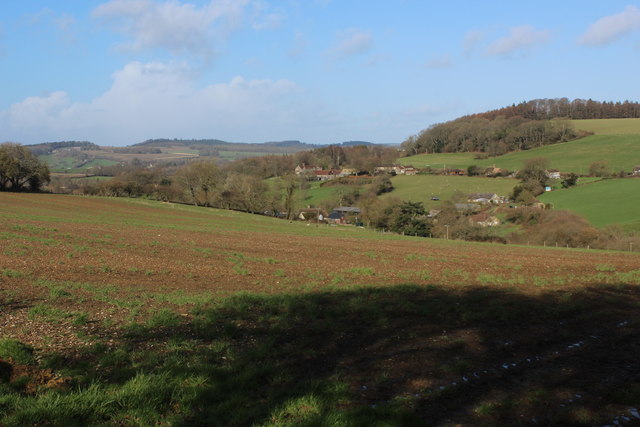
Donhead St Mary is a small village located in the county of Wiltshire, England. Situated approximately 16 miles southwest of Salisbury, it lies within the Cranborne Chase and West Wiltshire Downs Area of Outstanding Natural Beauty. The village is nestled in the picturesque Donhead Valley, surrounded by rolling hills and lush green countryside.

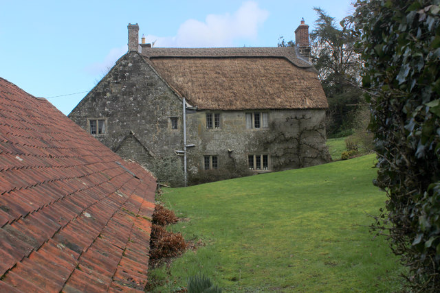
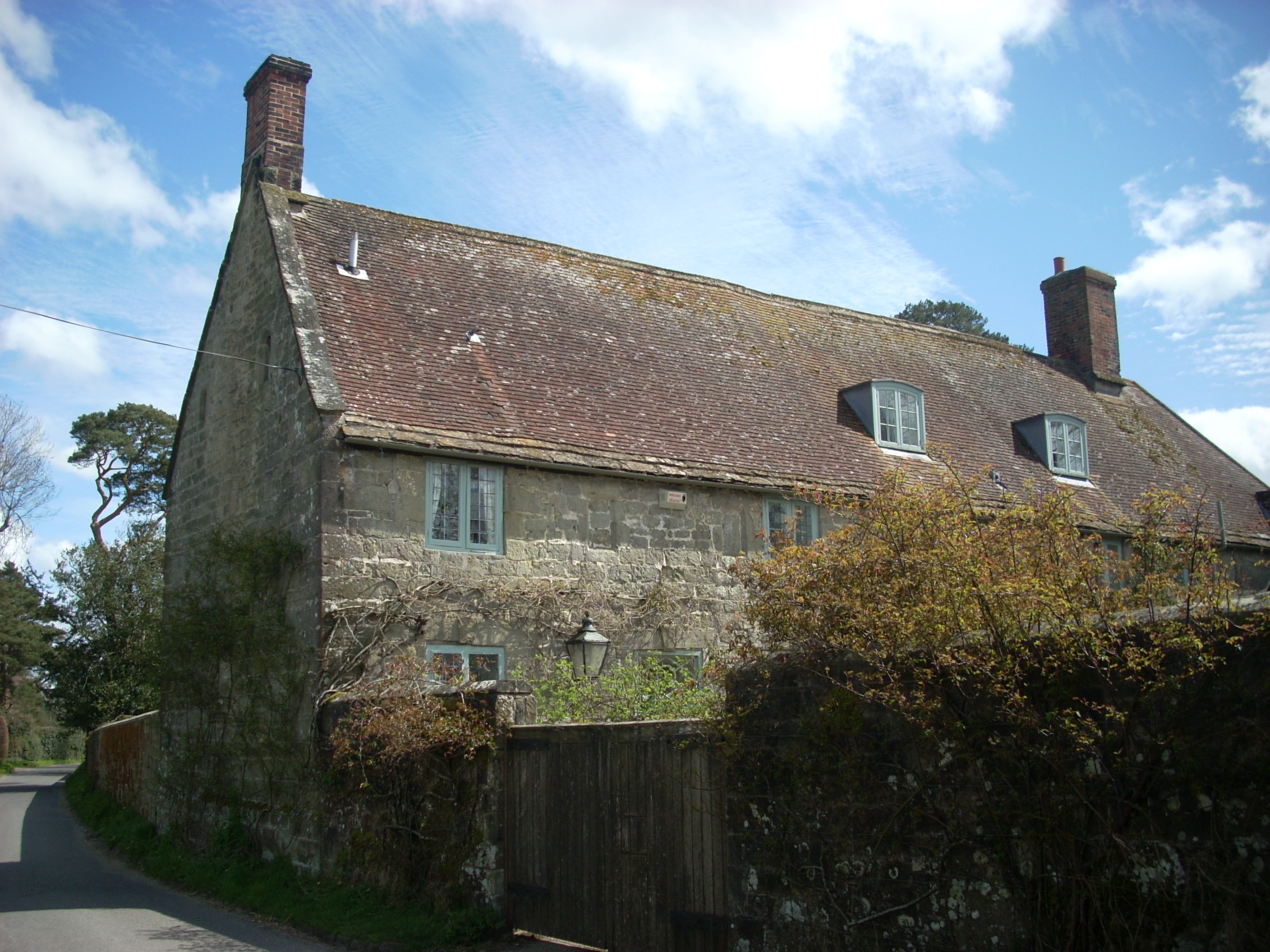
Donhead St Mary is known for its charming rural character and traditional English village atmosphere. The village is primarily residential, with a handful of historic buildings, including the Grade II listed St Mary's Church, which dates back to the 12th century. The church features an impressive 15th-century tower and is renowned for its medieval stained glass windows.

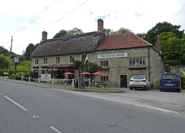
The community in Donhead St Mary is close-knit, with a population of around 500 residents. The village is served by a few amenities, including a local pub, The Forester Inn, which offers a warm and friendly atmosphere. There is also a village hall that hosts various social events and gatherings.

The surrounding countryside offers ample opportunities for outdoor activities, such as hiking, cycling, and horse riding. The rolling hills and meandering footpaths provide stunning vistas and peaceful retreats for nature enthusiasts. Additionally, the nearby town of Shaftesbury offers a wider range of amenities, including shops, supermarkets, and schools.

Overall, Donhead St Mary is a delightful rural village, offering a tranquil escape from the hustle and bustle of city life. Its idyllic setting and strong community spirit make it an attractive place to live for those seeking a peaceful countryside retreat.

If you have any feedback on the listing, please let us know in the comments section below.

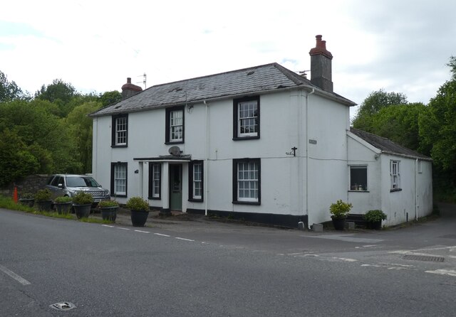
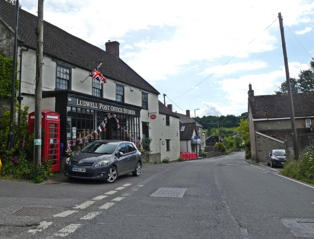
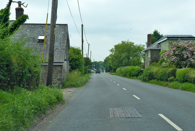
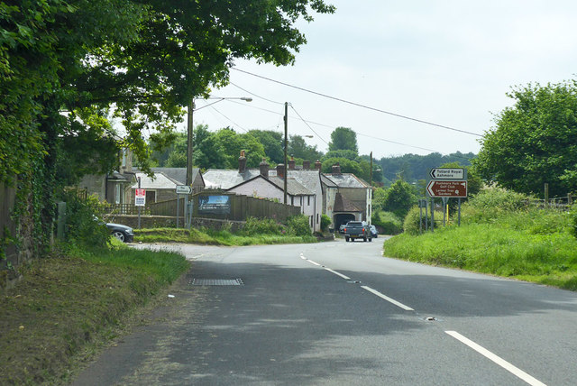
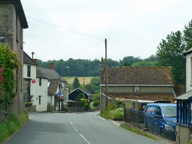
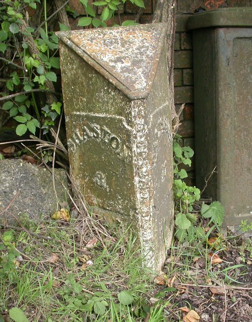
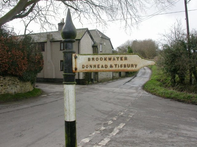
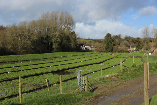
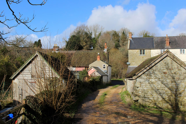
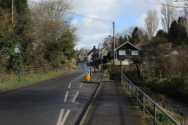
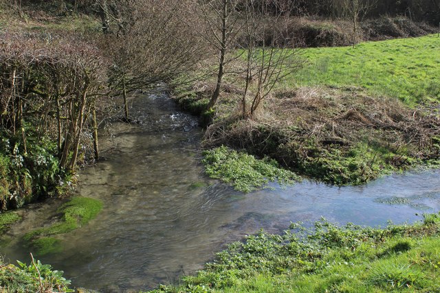
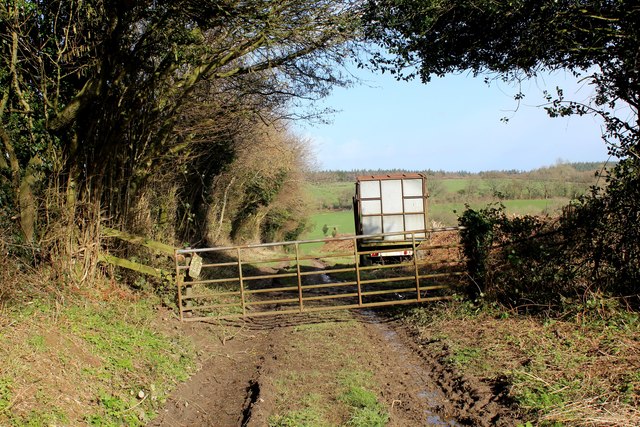
Donhead St Mary Images

Images are sourced within 2km of 51.018574/-2.1338174 or Grid Reference ST9024. Thanks to Geograph Open Source API. All images are credited.

'The Castle', Milkwell
Ludwell Post Office Stores
The Grove Arms, Ludwell
A30 heading west by Windyridge Farm The farm is on the left. The house on the right is called 'Ours'.
A30 heading west by Windyridge Farm
The farm is on the left. The house on the right is called 'Ours'.
A30 heading west at crossroads, Peckons Hill
A30 heading west Through Ludwell.
A30 heading west
Through Ludwell.
Old Milepost by the A30, Peckons Hill, Ludwell Cast iron post by the A30, in parish of DONHEAD ST MARY (SALISBURY District), Ludwell; East of village next to the junction with Dennis Lane, on the verge, on South side of road. Cockey iron casting, erected by the Whitesheet turnpike trust in the 19th century. 

Inscription reads:-
: SHASTON / 3 : : DONHEAD ST MARY : : SALISBURY / 17 :  

Milestone Society National ID: WI_SHSA03.
Old Milepost by the A30, Peckons Hill, Ludwell
Cast iron post by the A30, in parish of DONHEAD ST MARY (SALISBURY District), Ludwell; East of village next to the junction with Dennis Lane, on the verge, on South side of road. Cockey iron casting, erected by the Whitesheet turnpike trust in the 19th century. Inscription reads:- : SHASTON / 3 : : DONHEAD ST MARY : : SALISBURY / 17 : Milestone Society National ID: WI_SHSA03.
Direction Sign - Signpost near Rowberry House, Donhead St Andrew parish Spear and ball finial - 1 arm; by the UC road, in parish of Donhead St Andrew (Salisbury District), Rowberry House, at crossroads.

Grade II listed.
List Entry Number: 1200692 <span class="nowrap"><a title="https://historicengland.org.uk/listing/the-list/list-entry/1200692" rel="nofollow ugc noopener" href="https://historicengland.org.uk/listing/the-list/list-entry/1200692">Link</a><img style="margin-left:2px;" alt="External link" title="External link - shift click to open in new window" src="https://s1.geograph.org.uk/img/external.png" width="10" height="10"/></span>

Surveyed

Milestone Society National ID: WI_ST9223
Direction Sign - Signpost near Rowberry House, Donhead St Andrew parish
Spear and ball finial - 1 arm; by the UC road, in parish of Donhead St Andrew (Salisbury District), Rowberry House, at crossroads. Grade II listed. List Entry Number: 1200692 LinkExternal link Surveyed Milestone Society National ID: WI_ST9223
Watercress Beds at Ludwell Passed by on the Wessex Ridgeway long distance footpath as it approaches the village of Ludwell from the south
Watercress Beds at Ludwell
Passed by on the Wessex Ridgeway long distance footpath as it approaches the village of Ludwell from the south
Wessex Ridgeway entering Ludwell The long distance footpath entering the village from the south, squeezing between the houses to reach the A30.
Wessex Ridgeway entering Ludwell
The long distance footpath entering the village from the south, squeezing between the houses to reach the A30.
A30 Crossing Ludwell Bridge The main road crossing the River Nadder in Ludwell
A30 Crossing Ludwell Bridge
The main road crossing the River Nadder in Ludwell
Wessex Ridgeway descending towards Mullins Bridge The long distance footpath descends through a green tunnel between Ludwell and Mullins Bridge
Wessex Ridgeway descending towards Mullins Bridge
The long distance footpath descends through a green tunnel between Ludwell and Mullins Bridge
River Nadder at Mullins Bridge
In Milkwell Hamlet passed through on the Wessex Ridgeway long distance footpath
In Milkwell
Hamlet passed through on the Wessex Ridgeway long distance footpath
Lower Berrycourt Farm
Mud and Manure by Green Lane At the crossing of two tracks above Dengrove Bottom, a fine view eastwards over muck heaps towards White Sheet Hill.
Mud and Manure by Green Lane
At the crossing of two tracks above Dengrove Bottom, a fine view eastwards over muck heaps towards White Sheet Hill.
A View over Dengrove Bottom
Wessex Ridgeway descending towards Dengrove Bottom A muddy and churned up track, made for a slippery descent towards Dengrove Bottom
Wessex Ridgeway descending towards Dengrove Bottom
A muddy and churned up track, made for a slippery descent towards Dengrove Bottom
Show me another place!

Donhead St Mary is located at Grid Ref: ST9024 (Lat: 51.018574, Lng: -2.1338174)

Unitary Authority: Wiltshire

Police Authority: Wiltshire

What 3 Words

///landowner.since.harsh. Near Shaftesbury, Dorset

Nearby Locations

Donhead St Mary

Related Wikis

Donhead St Mary

Donhead St Mary is a village and civil parish in southwest Wiltshire, England, on the county border with Dorset. The village lies about 2+1⁄2 miles (4...

Shute House, Donhead St Mary

Shute House, Donhead St Mary, Wiltshire, England is a former rectory, now a private home, notable for its gardens designed by Geoffrey Jellicoe. About...

Donhead St Andrew

Donhead St Andrew is a village and civil parish in Wiltshire, England, on the River Nadder. It lies 4 miles (6.4 km) east of the Dorset market town of...

Lower Coombe and Ferne Brook Meadows

Lower Coombe and Ferne Brook Meadows (grid reference ST916236) is an 11.34 hectare biological Site of Special Scientific Interest in Wiltshire, England...

Nearby Amenities

Located within 500m of 51.018574,-2.1338174
Donhead St Mary
Place: village
Lat/Long: 51.0186964/-2.1336187
Post Box
Post Box Type: wall
Lat/Long: 51.0206084/-2.1399406
Post Box
Operator: Royal Mail
Post Box Type: wall
Ref: SP7 91D
Royal Cypher: GR
Lat/Long: 51.0151922/-2.1300487
Booth: K6
Covered: booth
Disused Amenity: telephone
Man Made: telephone_box
Lat/Long: 51.0203547/-2.1381469
The data included in this document is from www.openstreetmap.org. The data is made available under ODbL.

Have you been to Donhead St Mary?

Leave your review of Donhead St Mary below (or comments, questions and feedback).