Upper Hamstead Plantation

Wood, Forest in Hampshire

England

Upper Hamstead Plantation

Mooring Ropes, Newtown Harbour A line of moorings along the quay use this rope and pulley device so that boats can be moored away from the quayside, but easily pulled up to it when needed.
Mooring Ropes, Newtown Harbour Credit: Des Blenkinsopp

The requested URL returned error: 429 Too Many Requests

If you have any feedback on the listing, please let us know in the comments section below.

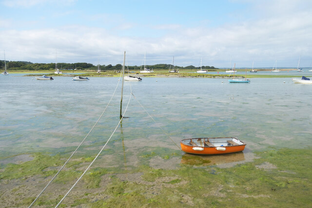
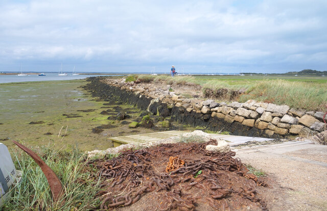
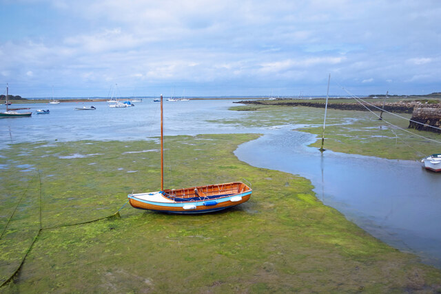
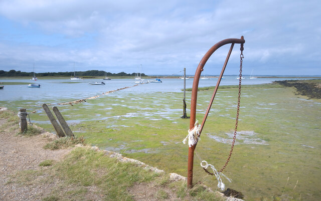
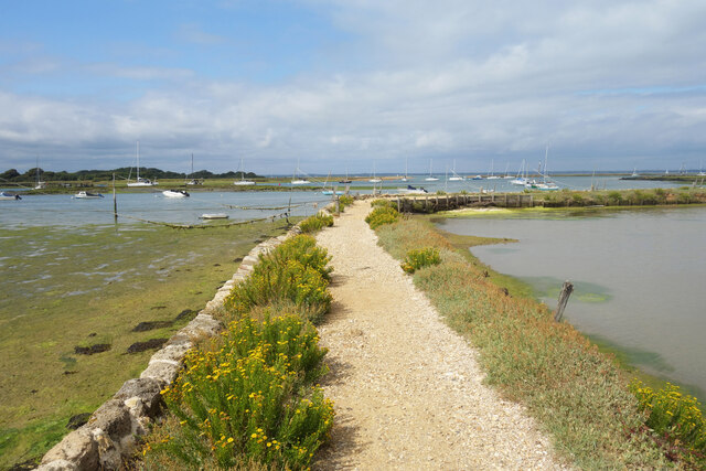
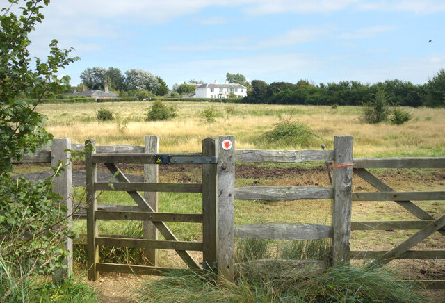
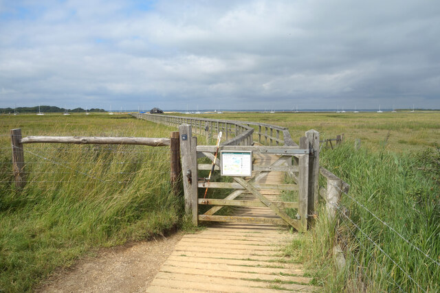
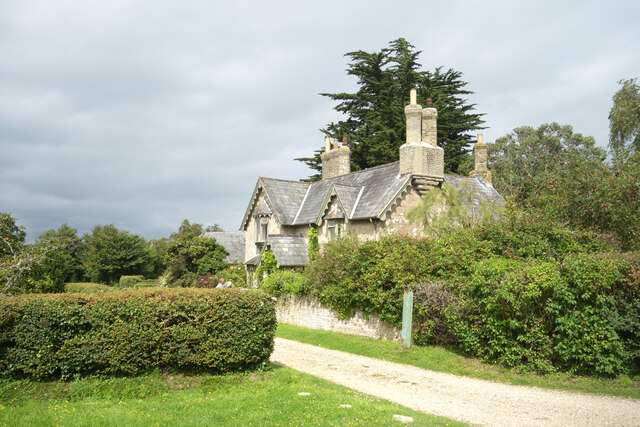
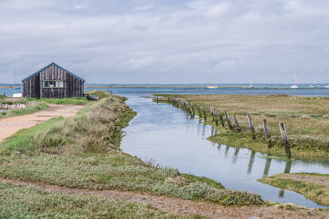
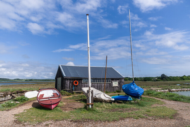
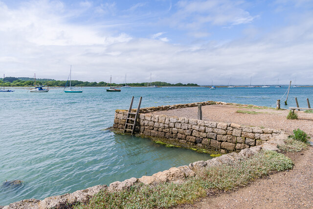
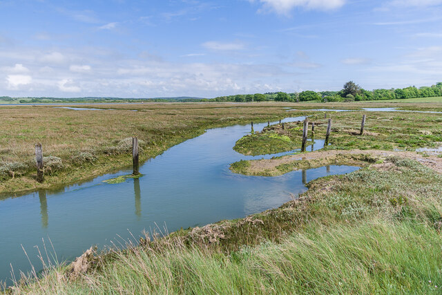
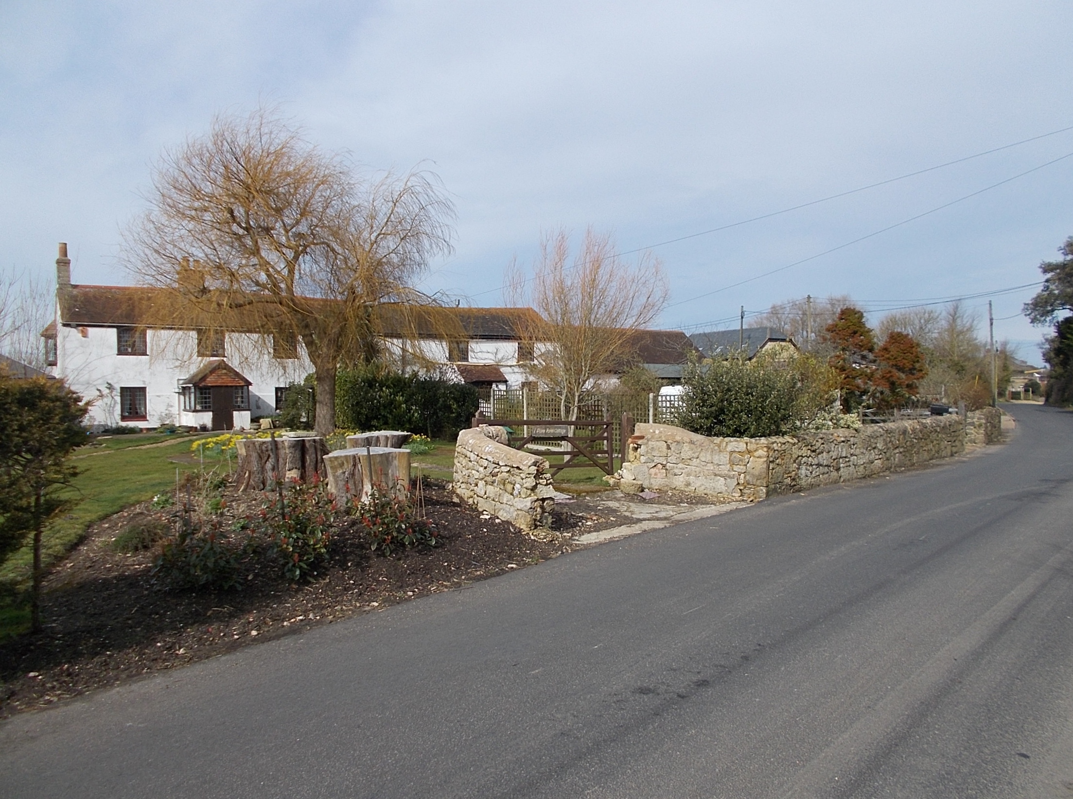
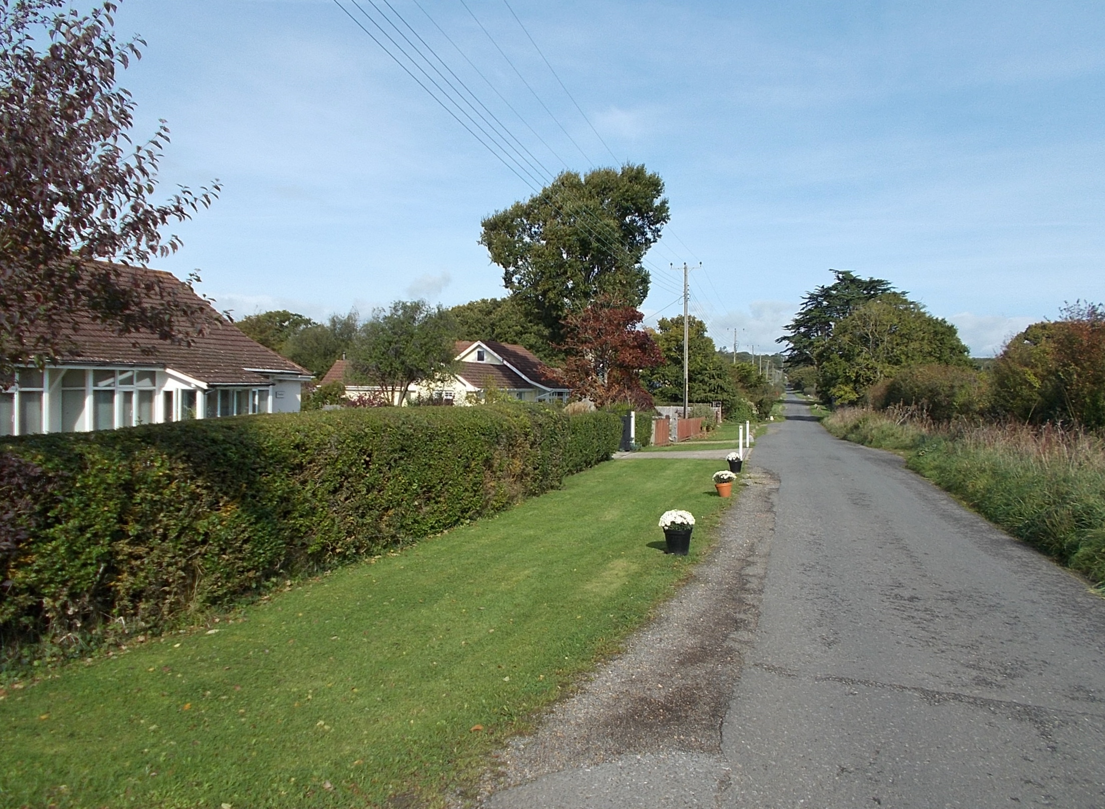
Upper Hamstead Plantation Images

Images are sourced within 2km of 50.709143/-1.4302772 or Grid Reference SZ4090. Thanks to Geograph Open Source API. All images are credited.

Mooring Ropes, Newtown Harbour A line of moorings along the quay use this rope and pulley device so that boats can be moored away from the quayside, but easily pulled up to it when needed.
Mooring Ropes, Newtown Harbour
A line of moorings along the quay use this rope and pulley device so that boats can be moored away from the quayside, but easily pulled up to it when needed.
Old Chains by the Slipway What looks like an old anchor and chain rusting away on the quayside.
The causeway beyond is shown as a public footpath, which it may still be if you fancy getting muddy. 
Ms Blenkinsopp is standing about as far as you can get without wellies.
Old Chains by the Slipway
What looks like an old anchor and chain rusting away on the quayside. The causeway beyond is shown as a public footpath, which it may still be if you fancy getting muddy. Ms Blenkinsopp is standing about as far as you can get without wellies.
In the mud at low tide A neat small boat sitting in the mud at Newtown Quay.
The mooring ropes are not in such good condition. Seriously slimy.
In the mud at low tide
A neat small boat sitting in the mud at Newtown Quay. The mooring ropes are not in such good condition. Seriously slimy.
Newtown Quay Newtown was a busy port in medieval times. Now the town is reduced to a few houses and the quay is the quiet home of a few small boats.
Newtown Quay
Newtown was a busy port in medieval times. Now the town is reduced to a few houses and the quay is the quiet home of a few small boats.
Levee round a Brine Pond Salt was made here for centuries up to the 1930s. The water on the right is in a pond where sea water was stored and partly evaporated before the brine was boiled to extract the salt crystals.
See this National Trust page for more details and some old pictures. <span class="nowrap"><a title="https://www.nationaltrust.org.uk/newtown-national-nature-reserve/features/the-salt-industry-at-newtown" rel="nofollow ugc noopener" href="https://www.nationaltrust.org.uk/newtown-national-nature-reserve/features/the-salt-industry-at-newtown">Link</a><img style="margin-left:2px;" alt="External link" title="External link - shift click to open in new window" src="https://s1.geograph.org.uk/img/external.png" width="10" height="10"/></span>
Levee round a Brine Pond
Salt was made here for centuries up to the 1930s. The water on the right is in a pond where sea water was stored and partly evaporated before the brine was boiled to extract the salt crystals. See this National Trust page for more details and some old pictures. LinkExternal link
Path back to Newtown The end of a short but interesting circular walk along a causeway to Newtown Quay and around the old salt ponds.
Path back to Newtown
The end of a short but interesting circular walk along a causeway to Newtown Quay and around the old salt ponds.
Gate onto the Causeway The start of a long boardwalk over the marsh out to Newtown Quay by the black hut in the distance.
Gate onto the Causeway
The start of a long boardwalk over the marsh out to Newtown Quay by the black hut in the distance.
House in Newtown Once a thriving port town in the middle ages, Newtown has now shrunk to a village of around twenty houses. This is one of them.
House in Newtown
Once a thriving port town in the middle ages, Newtown has now shrunk to a village of around twenty houses. This is one of them.
The Cottage, Newtown
Church of the Holy Spirit, Newtown Church built in 1835, designed by A F Livesay, an architect working in Portsmouth and the Isle of Wight, replacing an earlier building then in ruins.  Grade II listed - see <span class="nowrap"><a title="https://historicengland.org.uk/listing/the-list/list-entry/1292702?section=official-list-entry" rel="nofollow ugc noopener" href="https://historicengland.org.uk/listing/the-list/list-entry/1292702?section=official-list-entry">Link</a><img style="margin-left:2px;" alt="External link" title="External link - shift click to open in new window" src="https://s1.geograph.org.uk/img/external.png" width="10" height="10"/></span>.
Church of the Holy Spirit, Newtown
Church built in 1835, designed by A F Livesay, an architect working in Portsmouth and the Isle of Wight, replacing an earlier building then in ruins. Grade II listed - see LinkExternal link.
Newtown Harbour Looking across the saltflats of Newtown Harbour.
Newtown Harbour
Looking across the saltflats of Newtown Harbour.
Footbridge, Newtown Harbour Looking back along the footbridge leading to the quay at Newtown Harbour.
Footbridge, Newtown Harbour
Looking back along the footbridge leading to the quay at Newtown Harbour.
Footbridge, Newtown Harbour Looking back along the footbridge leading to the quay at Newtown Harbour.
Footbridge, Newtown Harbour
Looking back along the footbridge leading to the quay at Newtown Harbour.
Newtown Quay Creek and building by the quay at Newtown Harbour.
Newtown Quay
Creek and building by the quay at Newtown Harbour.
Newtown Quay Building by the quay at Newtown Harbour.
Newtown Quay
Building by the quay at Newtown Harbour.
Newtown Quay The quay at Newtown Harbour.
Newtown Quay
The quay at Newtown Harbour.
Newtown Harbour A creek at Newtown Harbour.
Newtown Harbour
A creek at Newtown Harbour.
Show me another place!

Upper Hamstead Plantation is located at Grid Ref: SZ4090 (Lat: 50.709143, Lng: -1.4302772)

Unitary Authority: Isle of Wight

Police Authority: Hampshire

What 3 Words

///boasted.argue.radio. Near Shalfleet, Isle of Wight

Related Wikis

Hamstead, Isle of Wight

Hamstead should not be confused with any of the many places called Hampstead.Hamstead is a small rural settlement in the civil parish of Shalfleet, on...

Bouldnor and Hamstead Cliffs

Bouldnor and Hamstead Cliffs is a 95.7-hectare (236-acre) site of special scientific interest which is located north-east of Yarmouth. The site was notified...

Ningwood

Ningwood is a village on the Isle of Wight. It is on several lanes about three miles east of Yarmouth in the northwest of the island. In the 2011 Census...

Cranmore, Isle of Wight

Cranmore is a village on the Isle of Wight. It is located about three miles east of Yarmouth, in the northwest of the island. It is in the civil parish...

Nearby Amenities

Located within 500m of 50.709143,-1.4302772
Source: landsat
Lat/Long: 50.7126008/-1.4347158
Source: landsat
Lat/Long: 50.7135498/-1.4292791
Source: landsat
Lat/Long: 50.7130729/-1.4300243
Source: landsat
Lat/Long: 50.7125777/-1.4303075
Source: landsat
Lat/Long: 50.7131605/-1.4273662
Source: landsat
Lat/Long: 50.7121931/-1.4265953
Barrier: stile
Foot: yes
Material: wood
Note: survey 07/2016
Source: Bing
Stile: stepover
Lat/Long: 50.705375/-1.4337965
Source: Locally rectified NPE map
Lat/Long: 50.7061595/-1.4336718
Source: Locally rectified NPE map
Lat/Long: 50.7068961/-1.4336588
Source: Locally rectified NPE map
Lat/Long: 50.7072187/-1.4328676
Ningwood Lake
Place: locality
Lat/Long: 50.7080876/-1.425464
Barrier: stile
Foot: yes
Material: wood
Note: survey 07/2016
Stile: stepover
Lat/Long: 50.7064779/-1.4336286
Upper Hamstead Plantation
Place: locality
Lat/Long: 50.7070921/-1.4300358
Upper Hamstead Plantation
Place: locality
Lat/Long: 50.7097351/-1.4296603
Lower Hamstead Plantation
Place: locality
Lat/Long: 50.7058317/-1.4294028
Hiking: yes
Information: guidepost
Tourism: information
Lat/Long: 50.7101835/-1.4332438
Hiking: yes
Information: guidepost
Tourism: information
Lat/Long: 50.7078667/-1.4331096
The data included in this document is from www.openstreetmap.org. The data is made available under ODbL.

Have you been to Upper Hamstead Plantation?

Leave your review of Upper Hamstead Plantation below (or comments, questions and feedback).