Flaxby Covert
Wood, Forest in Yorkshire Harrogate
England
Flaxby Covert

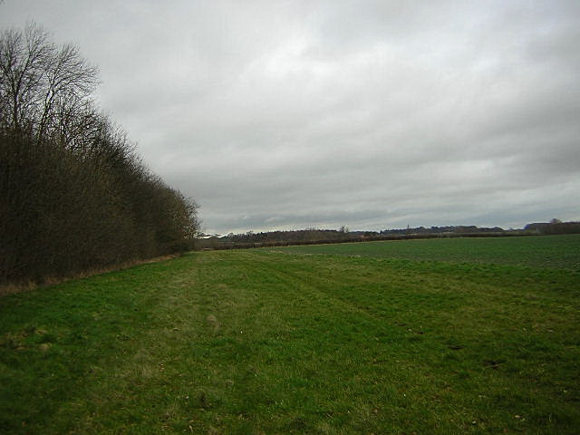
Flaxby Covert is a picturesque woodland located in the county of Yorkshire, England. Nestled amidst the rolling hills and verdant countryside, this enchanting forest covers an area of approximately 200 acres. With its dense canopy of trees and thriving wildlife, Flaxby Covert is a haven for nature enthusiasts and those seeking solace in the tranquility of the great outdoors.
The woodland is predominantly composed of oak, beech, and birch trees, creating a vibrant tapestry of colors throughout the seasons. The forest floor is carpeted with a rich assortment of flora, including bluebells, wood anemones, and wild garlic, which add to the area's natural beauty and charm.
Numerous walking trails crisscross the covert, allowing visitors to explore its hidden corners and discover its hidden treasures. These trails vary in difficulty, catering to both casual strollers and more adventurous hikers. Along the way, one might come across babbling brooks, ancient stone walls, and even the remnants of an old Roman road, offering glimpses into the area's rich history.
Flaxby Covert is also a sanctuary for a diverse range of wildlife. Birdwatchers can spot species such as tawny owls, woodpeckers, and buzzards soaring above the treetops. Deer, foxes, and badgers are often seen roaming the forest floor, while squirrels dart playfully between branches. The peaceful atmosphere and abundance of natural resources make this woodland an ideal habitat for a wide array of creatures.
Whether one seeks a leisurely stroll, a challenging hike, or simply a moment of respite from the hustle and bustle of daily life, Flaxby Covert offers a serene and captivating escape into the heart of nature.
If you have any feedback on the listing, please let us know in the comments section below.
Flaxby Covert Images
Images are sourced within 2km of 54.010079/-1.3863709 or Grid Reference SE4057. Thanks to Geograph Open Source API. All images are credited.
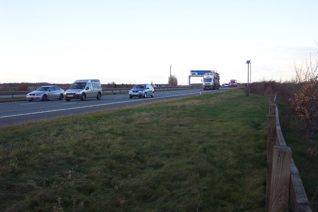
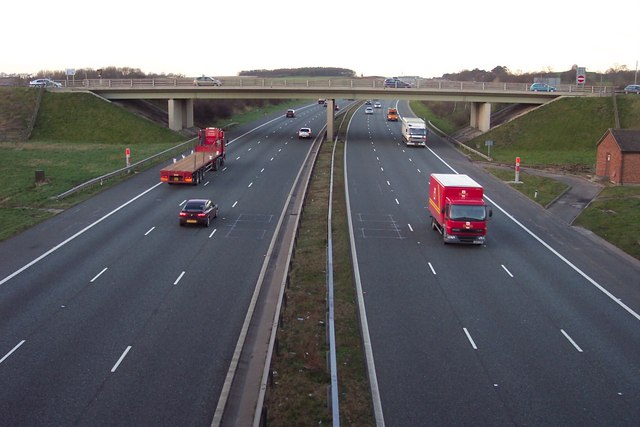
![A168 at Allerton Park The A168 runs parallel with the A1[M] at this point, using the south bound carriageway of the old A1. The wall to the right is the boundary of Allerton Park.](https://s2.geograph.org.uk/geophotos/01/06/31/1063142_0f4233fc.jpg)


Flaxby Covert is located at Grid Ref: SE4057 (Lat: 54.010079, Lng: -1.3863709)
Division: West Riding
Administrative County: North Yorkshire
District: Harrogate
Police Authority: North Yorkshire
What 3 Words
///hindering.barman.bright. Near Knaresborough, North Yorkshire
Nearby Locations
Related Wikis

Coneythorpe
Coneythorpe is a village in the civil parish of Coneythorpe and Clareton, in North Yorkshire, England. It is situated less than 1 mile (1.6 km) west from...

Flaxby
Flaxby is a village and civil parish in the Harrogate district of North Yorkshire, England. It is close to the A1(M) motorway and 2 miles (3.2 km) east...
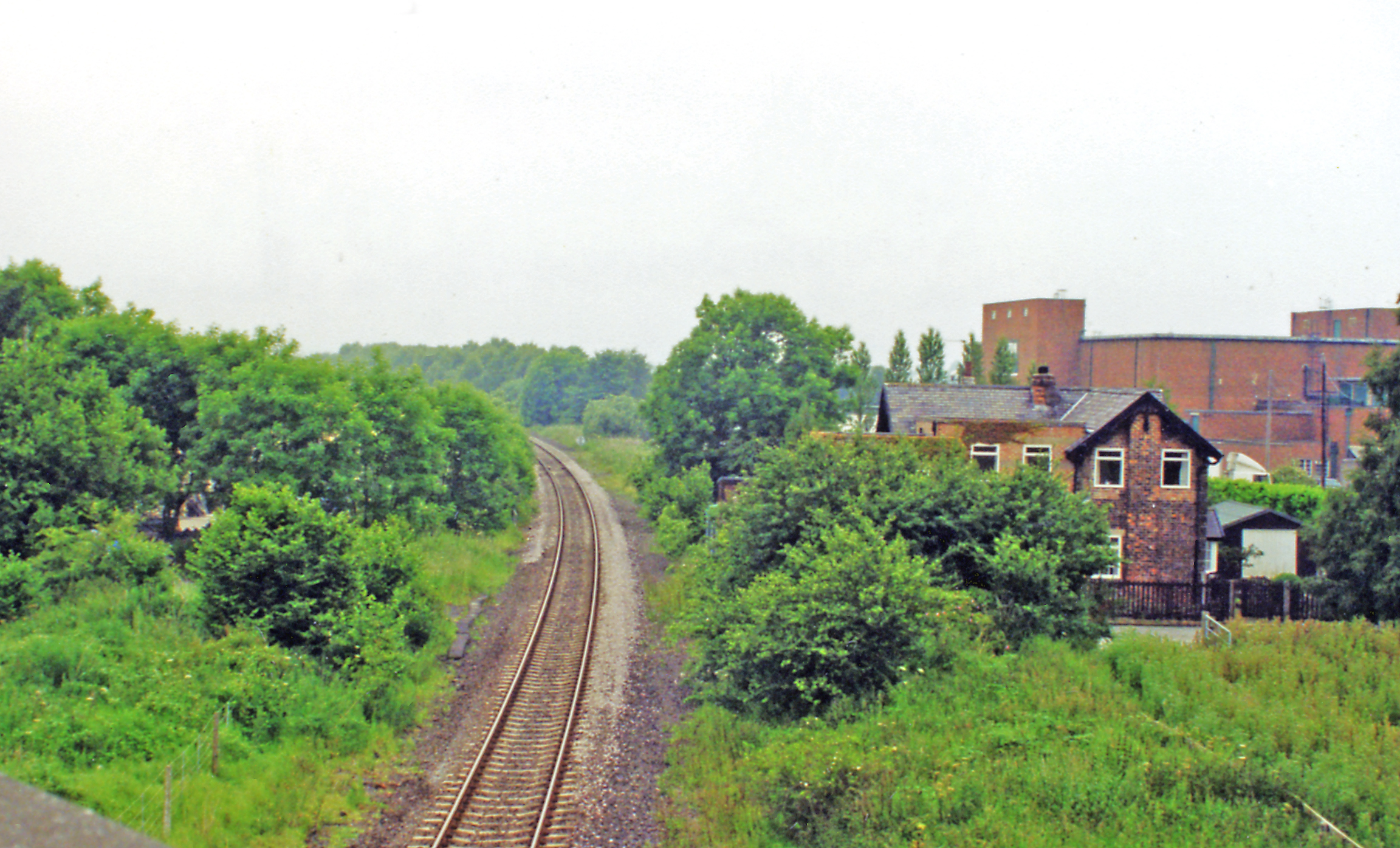
Goldsborough railway station
Goldsborough railway station served the village of Goldsborough, North Yorkshire, England from 1850 to 1965 on the Harrogate line. The station was over...

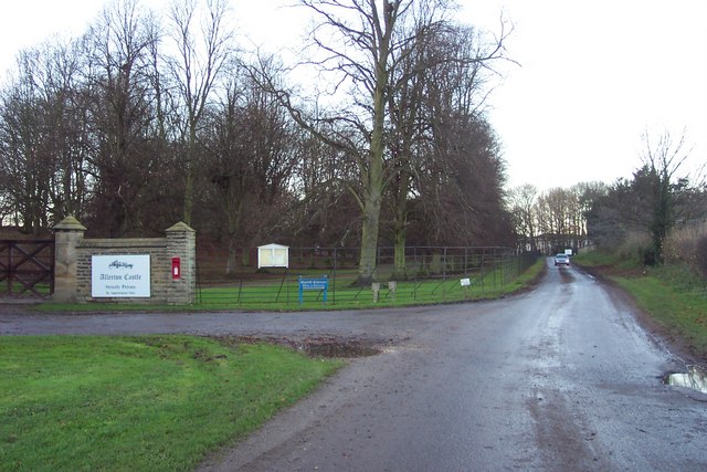
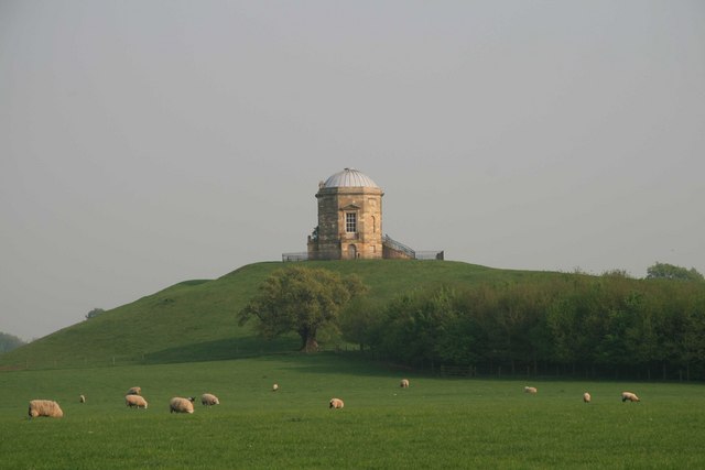
Allerton Castle
Allerton Castle, also known as Allerton Park, is a Grade I listed nineteenth-century Gothic or Victorian Gothic house at Allerton Mauleverer in North Yorkshire...

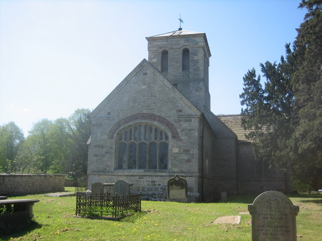
St Martin's Church, Allerton Mauleverer
St Martin's Church is a historic Anglican church in the village of Allerton Mauleverer, North Yorkshire, England. It is recorded in the National Heritage...
Allerton Mauleverer
Allerton Mauleverer is a village in North Yorkshire, England. It is part of the Allerton Mauleverer with Hopperton parish. The parish is in the district...

Hopperton railway station
Hopperton railway station served the village of Hopperton, North Yorkshire, England from 1848 to 1962 on the Harrogate line. == History == The station...
Allerton Mauleverer with Hopperton
Allerton Mauleverer with Hopperton is a civil parish in North Yorkshire, England. At the 2011 Census, the parish had a population of 150, an increase from...
Nearby Amenities
Located within 500m of 54.010079,-1.3863709Have you been to Flaxby Covert?
Leave your review of Flaxby Covert below (or comments, questions and feedback).