Domewood
Settlement in Surrey Tandridge
England
Domewood
Domewood is a small village located in the Tandridge district of Surrey, England. Situated approximately 25 miles south of London, it is a predominantly residential area with a tranquil and picturesque atmosphere. The village is nestled in the heart of the Surrey Hills, an Area of Outstanding Natural Beauty, which attracts visitors with its stunning landscapes and diverse wildlife.
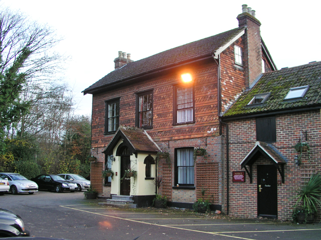
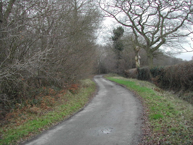
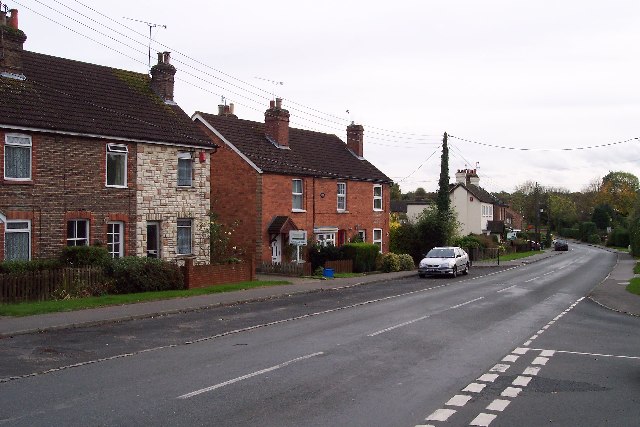
Domewood is characterized by its charming rural setting, surrounded by rolling hills, woodlands, and meadows. The village itself is a close-knit community, with a population of around 500 residents. The architecture is a mix of traditional cottages and more modern houses, blending seamlessly with the natural surroundings.
The village benefits from its proximity to the nearby towns of East Grinstead and Crawley, which offer a range of amenities including shopping centers, schools, and healthcare facilities. Domewood itself has limited amenities, but residents can enjoy the peacefulness and serenity of the countryside while still having access to essential services.
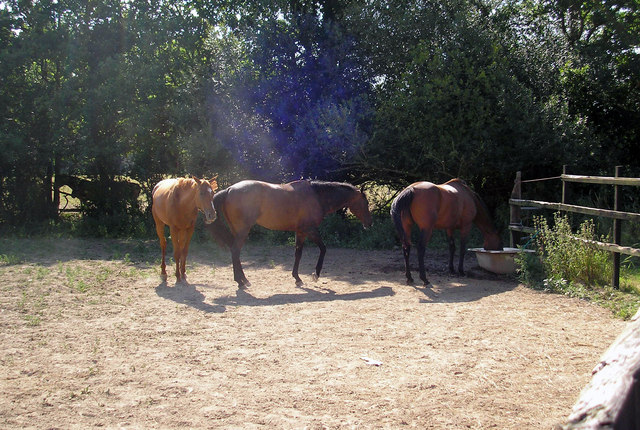
Outdoor enthusiasts will find plenty to explore in Domewood, with numerous walking and cycling trails crisscrossing the surrounding countryside. The area is also home to several golf courses and equestrian centers, catering to sports enthusiasts. Additionally, Domewood is conveniently located near the historic Hever Castle, which provides a glimpse into the area's rich heritage.
Overall, Domewood offers a peaceful retreat from the hustle and bustle of city life, with its idyllic rural setting and close-knit community. Its natural beauty and proximity to amenities make it an appealing place to live for those seeking a harmonious blend of countryside living and modern convenience.
If you have any feedback on the listing, please let us know in the comments section below.
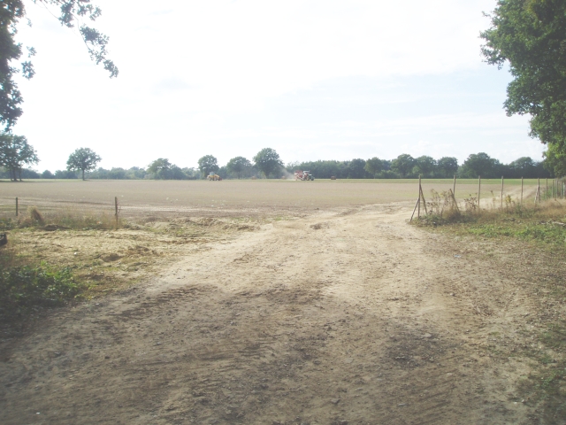
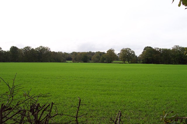
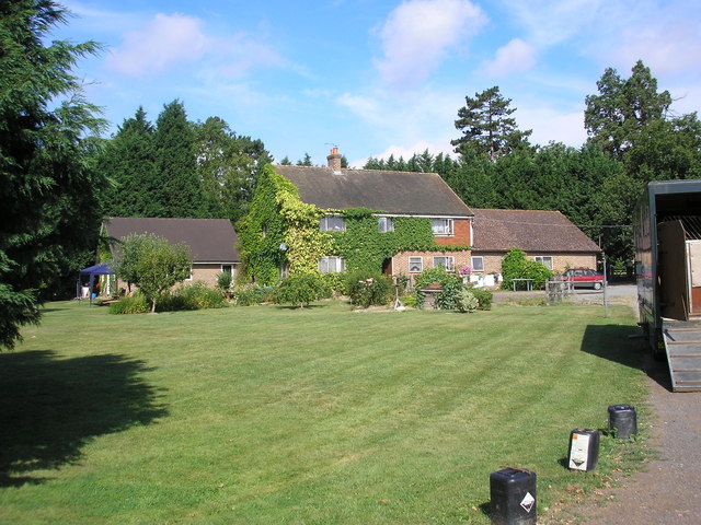
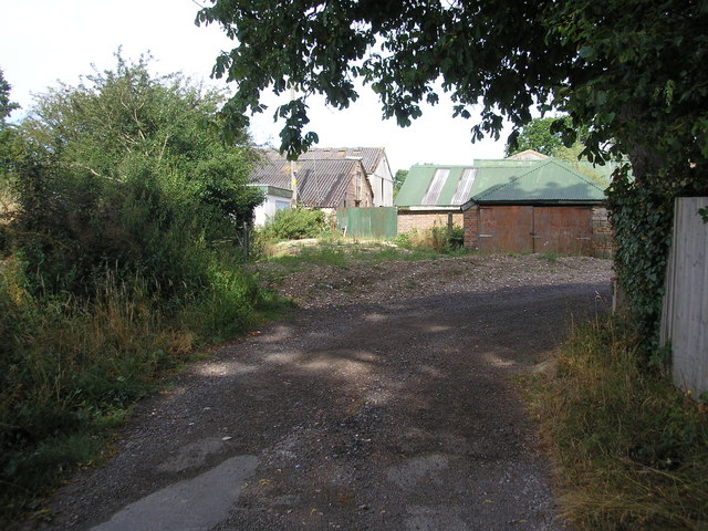
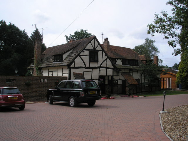
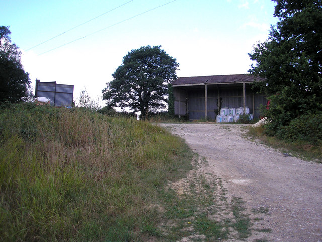
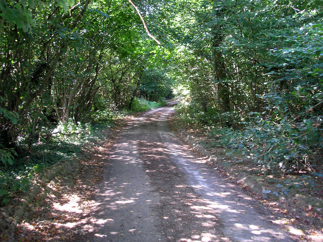
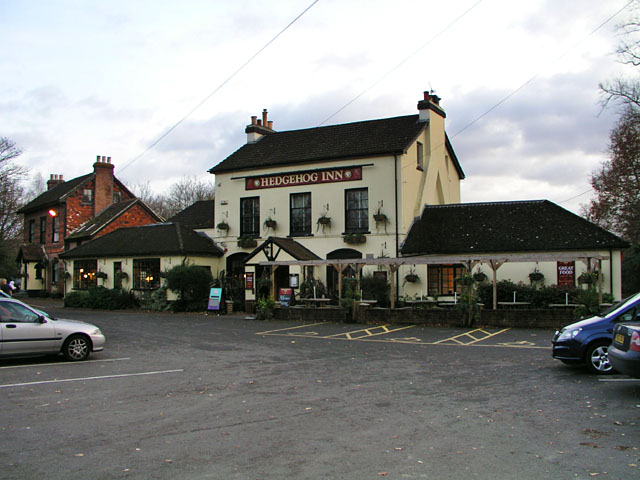
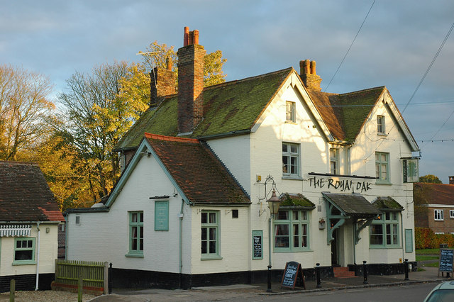
Domewood Images
Images are sourced within 2km of 51.145193/-0.081907 or Grid Reference TQ3440. Thanks to Geograph Open Source API. All images are credited.


Domewood is located at Grid Ref: TQ3440 (Lat: 51.145193, Lng: -0.081907)
Administrative County: Surrey
District: Tandridge
Police Authority: Surrey
What 3 Words
///dirt.guilty.stared. Near Copthorne, West Sussex
Nearby Locations
Related Wikis

A264 road
The A264 is an east–west road in southern England that runs from Pembury in west Kent to Five Oaks in West Sussex. == History == There have been a number...

Crawley Down Monastery
The Monastery of the Holy Trinity, Crawley Down is an Anglican monastery located at Crawley Down in West Sussex, England. The monastery belongs to the...

Hedgecourt
Hedgecourt is a 33.6-hectare (83-acre) biological Site of Special Scientific Interest (SSSI) west of Felbridge in Surrey. An area of 5-hectare (12-acre...

Imberdown (electoral division)
Imberdown is an electoral division of West Sussex in the United Kingdom, and returns one member to sit on West Sussex County Council. == Extent == The...
Crawley Down Gatwick F.C.
Crawley Down Gatwick Football Club is a football club based in Crawley Down, West Sussex, England. They are currently members of the Southern Combination...

London to Brighton Way
The London to Brighton Way, also called the London to Portslade Way, is a Roman road between Stane Street at Kennington Park and Brighton (or more specifically...
Copthorne, West Sussex
Copthorne is a village in the Mid Sussex district of West Sussex, England. It lies close to Gatwick Airport, 25.5 miles (41 km) south of London, 21.5 miles...
Crawley Down
Crawley Down is a village in the Mid Sussex district of West Sussex, England. There is one church, one school, and a number of social groups. It lies...
Nearby Amenities
Located within 500m of 51.145193,-0.081907Have you been to Domewood?
Leave your review of Domewood below (or comments, questions and feedback).