Binkley Wood

Wood, Forest in Derbyshire North East Derbyshire

England

Binkley Wood

Signal box at Barrow Hill
Signal box at Barrow Hill Credit: Dave Pickersgill

Binkley Wood is a picturesque forest located in the county of Derbyshire, England. This natural wonder spans an expansive area of approximately 500 acres, making it a popular destination for nature lovers and outdoor enthusiasts alike.

The wood is characterized by its dense canopy of ancient oak, beech, and birch trees, which provide a rich habitat for a variety of flora and fauna. Walking through Binkley Wood, visitors are treated to a tranquil and serene atmosphere, surrounded by the sights and sounds of nature.

The forest is home to an array of wildlife species, including deer, foxes, badgers, and a wide variety of birds. Birdwatchers can spot species such as woodpeckers, owls, and various songbirds within the wood's diverse ecosystem. The wood also boasts a diverse range of plant life, with carpets of bluebells in the spring, and vibrant autumnal colors as the leaves change in the fall.

Binkley Wood offers a network of well-maintained trails, allowing visitors to explore its beauty at their own pace. Whether on foot or by bike, visitors can immerse themselves in the natural surroundings and discover hidden gems within the wood. The wood's proximity to nearby towns and villages makes it a popular spot for both locals and tourists seeking a peaceful escape from urban life.

In conclusion, Binkley Wood is a stunning forest in Derbyshire that offers visitors a chance to experience the beauty and tranquility of nature. With its diverse wildlife, vibrant plant life, and well-maintained trails, this wood is a must-visit destination for nature enthusiasts and those seeking a serene outdoor experience.

If you have any feedback on the listing, please let us know in the comments section below.

Binkley Wood Images

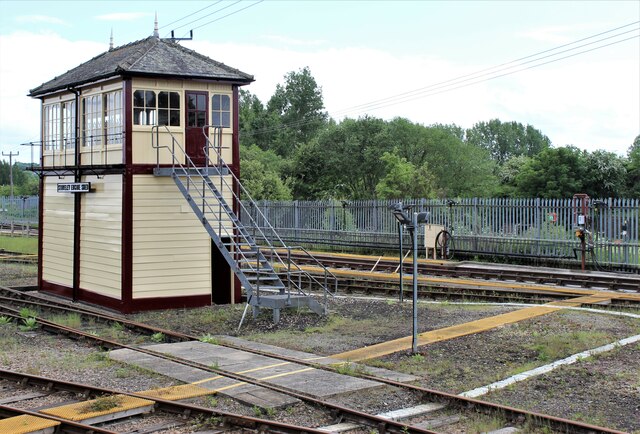
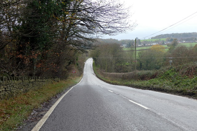
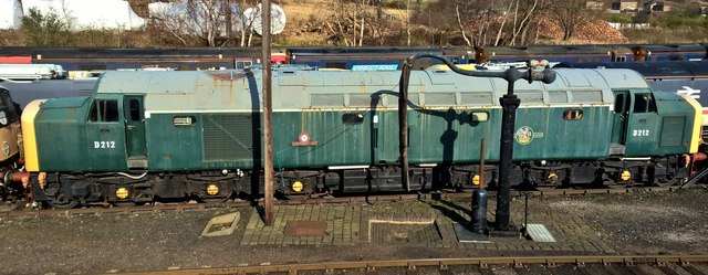
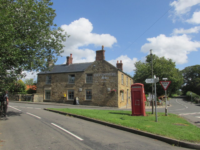
Images are sourced within 2km of 53.288594/-1.4022433 or Grid Reference SK3977. Thanks to Geograph Open Source API. All images are credited.

Signal box at Barrow Hill
Whittington Road A minor road between Barrow Hill and New Whittington
Whittington Road
A minor road between Barrow Hill and New Whittington
Springwell Hill A minor road between Nether Handley and New Whittington
Springwell Hill
A minor road between Nether Handley and New Whittington
Class 40 at rest D212, latterly 40012, stands in a line of old diesel locomotives on the approach road to Barrow roundhouse. Sadly, the elements are taking their toll on the paintwork, and probably the metal work as well.
Class 40 at rest
D212, latterly 40012, stands in a line of old diesel locomotives on the approach road to Barrow roundhouse. Sadly, the elements are taking their toll on the paintwork, and probably the metal work as well.
Queuing for 'Tornado' Railway buffs queuing to access the footplate on 'Tornado' at a Barrowhill Roundhouse Open Day.
Queuing for 'Tornado'
Railway buffs queuing to access the footplate on 'Tornado' at a Barrowhill Roundhouse Open Day.
Barrow Hill Signal Box Viewed from the coal ramp platform
Barrow Hill Signal Box
Viewed from the coal ramp platform
Sidings at Barrow Hill A view of the sidings at Barrow Hill Museum. On the right are class 45 No. 45060 and class 82 No. 82008; on the left is class 50 No. 50035.
Sidings at Barrow Hill
A view of the sidings at Barrow Hill Museum. On the right are class 45 No. 45060 and class 82 No. 82008; on the left is class 50 No. 50035.
Bridleway towards White Lodge
Lane towards Hagge Farm
The Devonshire arms. Middle Hanley.
The Devonshire arms.
Middle Hanley.
Houses in New Whittington Viewed just inside the square.
Houses in New Whittington
Viewed just inside the square.
Class 89 locomotive at Barrow Hill This was the only class 89 electric locomotive that was built. It's being restored at Barrow Hill, viewed here in the early stages of painting. For a previous view with more information, see <a href="https://www.geograph.org.uk/photo/3870286">SK4175 : Avocet and Vulcan at Barrow Hill</a>
Class 89 locomotive at Barrow Hill
This was the only class 89 electric locomotive that was built. It's being restored at Barrow Hill, viewed here in the early stages of painting. For a previous view with more information, see SK4175 : Avocet and Vulcan at Barrow Hill
Barrow Hill sidings Viewed from the old coaling station. Barrow Hill is open to the public more often nowadays thanks to funding from the National Lottery.
Barrow Hill sidings
Viewed from the old coaling station. Barrow Hill is open to the public more often nowadays thanks to funding from the National Lottery.
Handley Church, near Eckington in NE Derbyshire
Nether Handley in NE Derbyshire Looking towards Eyre's Farm in Nether Handley, a small village on the road from Chesterfield to Eckington.
Nether Handley in NE Derbyshire
Looking towards Eyre's Farm in Nether Handley, a small village on the road from Chesterfield to Eckington.
Middle Handley in NE Derbyshire.
Graveyard of Handley Church, Middle Handley, Nr Eckington in NE Derbyshire.
Eckington Village from Troway crossroads. This rural scene was taken from the Troway crossroads to the west of Marsh Lane.
Eckington Village from Troway crossroads.
This rural scene was taken from the Troway crossroads to the west of Marsh Lane.
Show me another place!

Binkley Wood is located at Grid Ref: SK3977 (Lat: 53.288594, Lng: -1.4022433)

Administrative County: Derbyshire

District: North East Derbyshire

Police Authority: Derbyshire

What 3 Words

///palm.river.elbow. Near Staveley, Derbyshire

Related Wikis

West Handley

West Handley is a hamlet in North East Derbyshire in the county of Derbyshire in England. == Location == West Handley lies just south of the village of...

Nether Handley

Nether Handley is a hamlet in North East Derbyshire in the county of Derbyshire in England. == Location == Nether Handley lies just south of the village...

Middle Handley

Middle Handley is a village in North East Derbyshire in the county of Derbyshire in England. == Location == Middle Handley lies just south of the village...
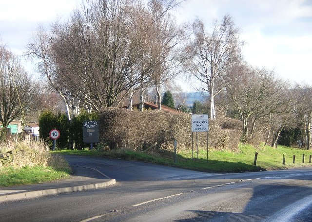
Bramley, Derbyshire

Bramley is a village in Derbyshire, England. It is in the civil parish of Eckington.

Hundall

Hundall is a hamlet in North East Derbyshire in the county of Derbyshire in England. == Location == West Handley lies just south of the village of Apperknowle...

Barrow Hill and New Whittington

Barrow Hill and New Whittington is one of the nineteen wards that make up the borough of Chesterfield, Derbyshire. The population of the ward was 5,903...

New Whittington

New Whittington is a village located in the Borough of Chesterfield, in Derbyshire, England, near to Whittington Moor and Old Whittington. It is also to...

Whittington railway station

Whittington railway station is a former railway station on the southern edge of New Whittington, Derbyshire, England. == History == The original Whittington...

Nearby Amenities

Located within 500m of 53.288594,-1.4022433
Parking
Description: Side of the road
Lat/Long: 53.2905239/-1.4084906
Note: The board has been replaced!
Lat/Long: 53.2930175/-1.4013375
Bench
Lat/Long: 53.2870767/-1.4082787
Barrier: stile
Lat/Long: 53.2872452/-1.4086866
Ele: 143
Lat/Long: 53.2904042/-1.4088919
Ele: 144
Lat/Long: 53.2903842/-1.4089627
Ele: 143
Lat/Long: 53.2903969/-1.4089286
Barrier: stile
Ele: 154.0000000
Steps: 0
Stile: stepover
Lat/Long: 53.2919044/-1.4063353
Barrier: stile
Ele: 154.0000000
Steps: 1
Stile: wall
Lat/Long: 53.2917709/-1.4057032
Ele: 153.0000000
Lat/Long: 53.2917673/-1.4056178
Ele: 151.0000000
Lat/Long: 53.2916619/-1.4056147
Ele: 149
Lat/Long: 53.289301/-1.4093929
Ele: 150
Lat/Long: 53.288534/-1.4091188
Parking
Description: patch of dirt at side of road
Ele: 125
Lat/Long: 53.2850369/-1.4044126
Ele: 125
Lat/Long: 53.2850605/-1.4041412
Ele: 120
Lat/Long: 53.2864819/-1.402331
Ele: 121
Lat/Long: 53.2867054/-1.4018774
Ele: 122
Lat/Long: 53.2868081/-1.4018235
Ele: 113
Lat/Long: 53.2874591/-1.4008153
Ele: 102
Lat/Long: 53.287658/-1.4005125
Ele: 117
Lat/Long: 53.2892282/-1.4008123
Ele: 128
Lat/Long: 53.2903268/-1.3990635
Ele: 113
Lat/Long: 53.2874985/-1.4009255
Power: pole
Lat/Long: 53.2853545/-1.3978457
Information: board
Tourism: information
Lat/Long: 53.292525/-1.4036702
Turning Circle
Lat/Long: 53.2904959/-1.4046309
Information: route_marker
Tourism: information
Lat/Long: 53.2922453/-1.3990592
Fixme: Longer than this
Lat/Long: 53.2899254/-1.4088427
Information: route_marker
Tourism: information
Lat/Long: 53.2926047/-1.4036453
Information: route_marker
Tourism: information
Lat/Long: 53.2929553/-1.4020276
Information: route_marker
Tourism: information
Lat/Long: 53.2928897/-1.4025808
Information: map
Tourism: information
Lat/Long: 53.2929972/-1.4013539
Parking
Capacity: 4
Lat/Long: 53.2885516/-1.4090686
The data included in this document is from www.openstreetmap.org. The data is made available under ODbL.

Have you been to Binkley Wood?

Leave your review of Binkley Wood below (or comments, questions and feedback).