Beech's Plantation

Wood, Forest in Derbyshire Amber Valley

England

Beech's Plantation

Tesco superstore in Alfreton A significant presence in the centre of Alfreton. It looks much like any other Tesco.
Tesco superstore in Alfreton Credit: Bill Boaden

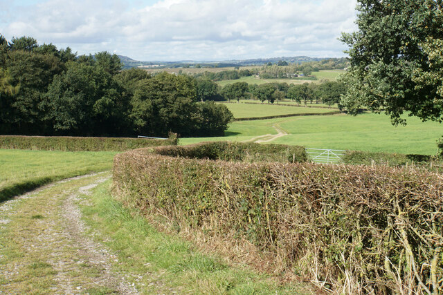
Beech's Plantation, located in Derbyshire, is a picturesque woodland area known for its dense population of beech trees. Spanning over a vast expanse, the plantation is a popular destination for nature enthusiasts, hikers, and those seeking a tranquil escape from urban life.

The plantation's beech trees, characterized by their distinctive smooth, silvery bark and vibrant green foliage, dominate the landscape. These majestic trees create a dense canopy that provides shade, making it an ideal spot for a leisurely stroll or a picnic on a sunny day. The plantation's well-maintained footpaths meander through the woodland, allowing visitors to explore its beauty at their own pace.

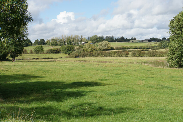
The plantation is home to a rich variety of wildlife, attracting birdwatchers and nature photographers. Visitors may spot species such as woodpeckers, owls, and other woodland birds, as well as small mammals like squirrels and rabbits. The plantation's diverse ecosystem also supports a range of insects and plant life, adding to its ecological significance.

Beech's Plantation is easily accessible, with ample parking facilities and clear signposts from nearby towns. Its proximity to urban areas makes it a popular destination for families and individuals looking for a day out in nature. The woodland offers a peaceful retreat from the hustle and bustle of daily life, allowing visitors to reconnect with the natural world and enjoy the beauty of Derbyshire's countryside.

In conclusion, Beech's Plantation in Derbyshire is a captivating woodland area filled with beech trees, offering a serene and enchanting experience for all who visit.

If you have any feedback on the listing, please let us know in the comments section below.

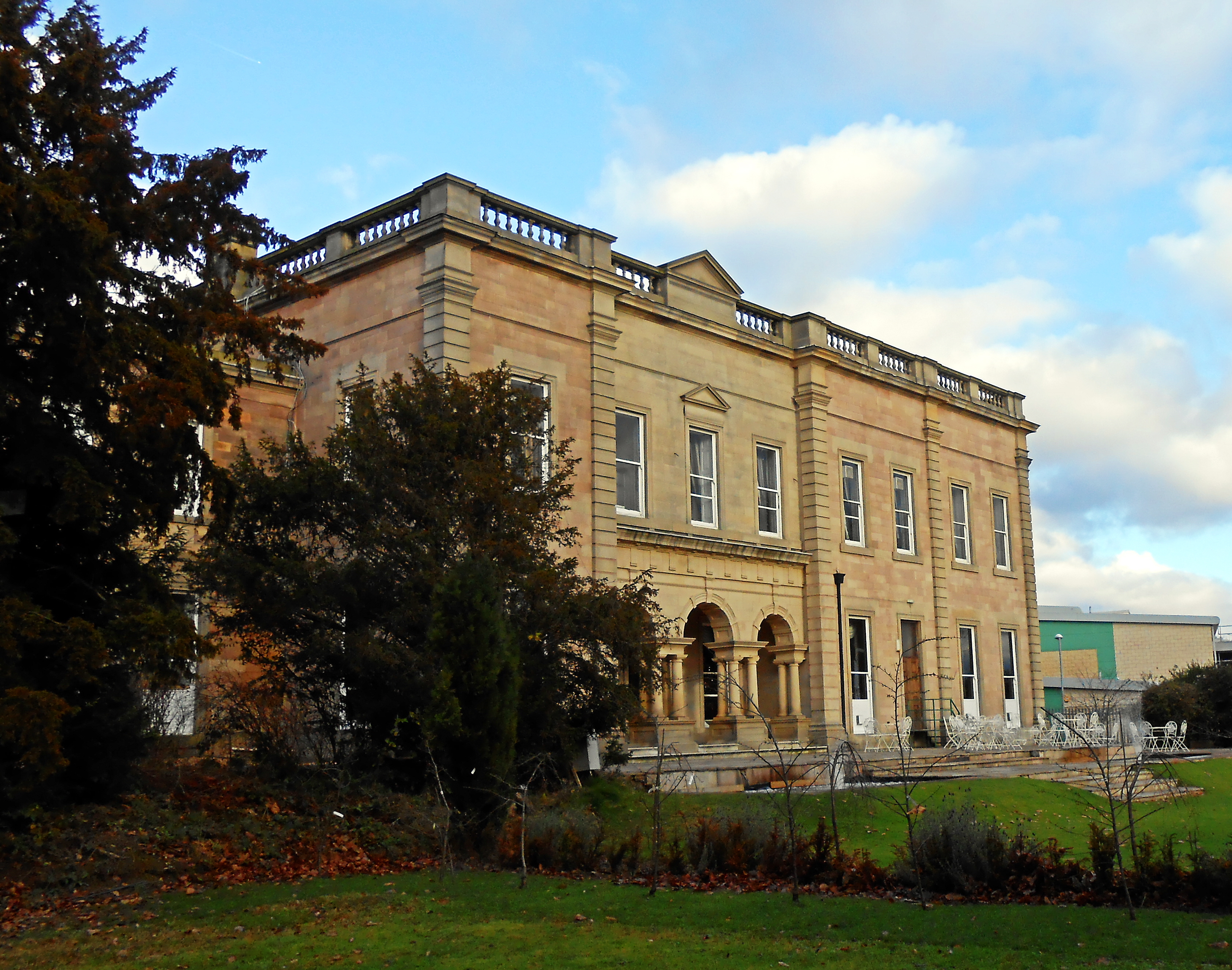
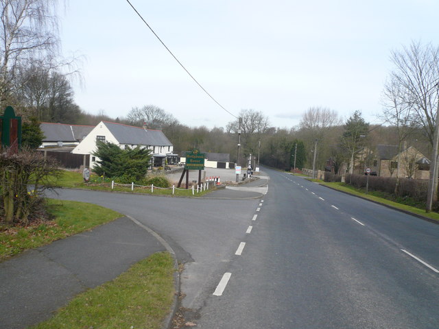
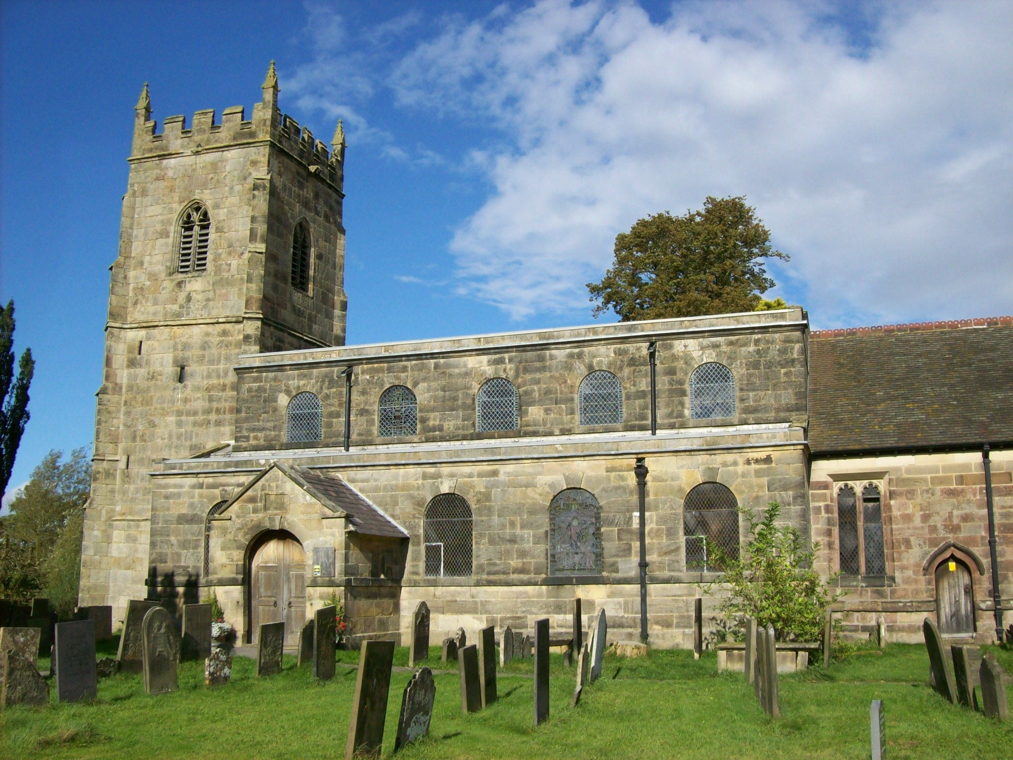
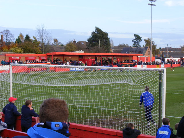
Beech's Plantation Images

Images are sourced within 2km of 53.098113/-1.4050202 or Grid Reference SK3955. Thanks to Geograph Open Source API. All images are credited.

Tesco superstore in Alfreton A significant presence in the centre of Alfreton. It looks much like any other Tesco.
Tesco superstore in Alfreton
A significant presence in the centre of Alfreton. It looks much like any other Tesco.
The Old Market Square The town received a charter to hold a market in 1252, but the only market activity now is in the nearby market hall.
The Old Market Square
The town received a charter to hold a market in 1252, but the only market activity now is in the nearby market hall.
Church Street, Alfreton Leading to St Martin's Church, and on foot to the countryside beyond.
Church Street, Alfreton
Leading to St Martin's Church, and on foot to the countryside beyond.
Path to Shirland The path follows a farm track down to the valley of Alfreton Brook. The hills behind are the higher ground surrounding Ashover.
Path to Shirland
The path follows a farm track down to the valley of Alfreton Brook. The hills behind are the higher ground surrounding Ashover.
Path to Shirland Following a good farm track with a firm base. The ground slopes down towards Alfreton Brook. Some of the land ahead would be affected by the proposals for a new solar farm.
Path to Shirland
Following a good farm track with a firm base. The ground slopes down towards Alfreton Brook. Some of the land ahead would be affected by the proposals for a new solar farm.
Path to Alfreton There is a steady gentle climb to get to St Martin's Church, which is the first part of Alfreton that you reach.
Path to Alfreton
There is a steady gentle climb to get to St Martin's Church, which is the first part of Alfreton that you reach.
Farmland by Alfreton Brook The valley bottom which is designated a flood risk from the brook. Lower Delves Farm is in the trees on the opposite slope.
Farmland by Alfreton Brook
The valley bottom which is designated a flood risk from the brook. Lower Delves Farm is in the trees on the opposite slope.
Farmland north west of Alfreton This view will be severely affected by the proposed solar farm on the farmland.
Farmland north west of Alfreton
This view will be severely affected by the proposed solar farm on the farmland.
Crossroads Tavern A pub towards the eastern end of Alfreton's High Street. It is situated on a crossroads.
Crossroads Tavern
A pub towards the eastern end of Alfreton's High Street. It is situated on a crossroads.
High Street, Alfreton The traffic is not always as busy as this.
High Street, Alfreton
The traffic is not always as busy as this.
Institute Lane, Alfreton Now part of the pedestrianised precinct.
Institute Lane, Alfreton
Now part of the pedestrianised precinct.
Bus station in Alfreton
Alfreton Cemetery
Alfreton Cemetery
Alfreton Cemetery
Alfreton Cemetery
Crane hire depot The western end of Meadow Lane Industrial Estate. You can see the cranes from the surrounding countryside in the valley of Alfreton Brook.
Crane hire depot
The western end of Meadow Lane Industrial Estate. You can see the cranes from the surrounding countryside in the valley of Alfreton Brook.
Alfreton Sewage Treatment Works A necessary facility sited by Alfreton Brook.
Alfreton Sewage Treatment Works
A necessary facility sited by Alfreton Brook.
Alfreton Brook A very straight watercourse which will discharge into the River Amber.
Alfreton Brook
A very straight watercourse which will discharge into the River Amber.
The end of the footpath by the B6025 Until this point, there has been a footway by the road, even if badly maintained and little used, but it fades out altogether here.
The end of the footpath by the B6025
Until this point, there has been a footway by the road, even if badly maintained and little used, but it fades out altogether here.
Show me another place!

Beech's Plantation is located at Grid Ref: SK3955 (Lat: 53.098113, Lng: -1.4050202)

Administrative County: Derbyshire

District: Amber Valley

Police Authority: Derbyshire

What 3 Words

///good.arch.line. Near Alfreton, Derbyshire

Related Wikis

Nearby Amenities

Located within 500m of 53.098113,-1.4050202
Barrier: stile
Steps: 1
Stile: stepover
Lat/Long: 53.0969442/-1.4114661
Barrier: stile
Steps: 1
Stile: stepover
Lat/Long: 53.0968442/-1.409099
Ele: 112
Lat/Long: 53.0957887/-1.4109639
Barrier: stile
Ele: 113.0000000
Steps: 2
Stile: stepover
Lat/Long: 53.0960512/-1.4115666
Barrier: stile
Ele: 116.0000000
Steps: 1
Stile: stepover
Lat/Long: 53.0991145/-1.4109108
Barrier: stile
Ele: 122
Steps: 1
Stile: stepover
Lat/Long: 53.0981384/-1.4077083
Ele: 121
Lat/Long: 53.0978199/-1.4058951
Ele: 121
Lat/Long: 53.0978322/-1.4058042
Ele: 121
Lat/Long: 53.0974471/-1.4056093
Ele: 121
Lat/Long: 53.0977936/-1.4057835
Ele: 119.0000000
Lat/Long: 53.0992325/-1.406341
Ele: 118
Lat/Long: 53.0994884/-1.4066363
Barrier: stile
Ele: 120.0000000
Steps: 2
Stile: stepover
Lat/Long: 53.0996927/-1.406629
Barrier: stile
Ele: 104.0000000
Steps: 1
Stile: stepover
Lat/Long: 53.1013661/-1.4077299
Barrier: stile
Ele: 104.0000000
Steps: 1
Stile: stepover
Lat/Long: 53.101483/-1.4076726
Barrier: stile
Ele: 102.0000000
Steps: 1
Stile: stepover
Lat/Long: 53.1017599/-1.4079626
Barrier: stile
Ele: 100.0000000
Steps: 0
Stile: stepover
Lat/Long: 53.1017734/-1.4079752
Parkside Stables Ltd
Leisure: horse_riding
Lat/Long: 53.0949209/-1.4058732
The data included in this document is from www.openstreetmap.org. The data is made available under ODbL.

Have you been to Beech's Plantation?

Leave your review of Beech's Plantation below (or comments, questions and feedback).