Brierley Wood

Wood, Forest in Durham

England

Brierley Wood

Derelict filling station on north side of A689 The old petrol station was clearly a modest affair by modern standards, having just a tiny forecourt. It has been disused for some time - even seven year's earlier, Pauline's image shows the building to be in a poor state <a title="https://www.geograph.org.uk/photo/4015894" href="https://www.geograph.org.uk/photo/4015894">Link</a> .
Derelict filling station on north side of A689 Credit: Trevor Littlewood

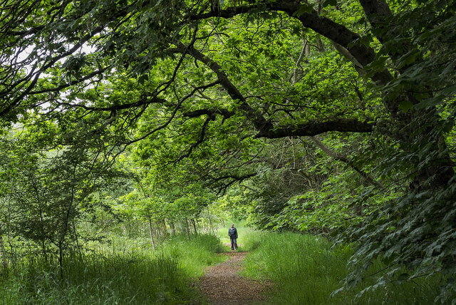
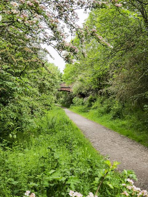
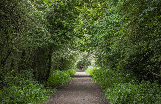
Brierley Wood, located in Durham, England, is a picturesque woodland area known for its natural beauty and rich biodiversity. This ancient woodland covers an area of approximately 100 acres and is home to a diverse range of flora and fauna.

The wood is predominantly composed of native broadleaf trees, such as oak, birch, and ash, which create a dense canopy overhead, providing shade and shelter for the woodland floor. The forest floor is adorned with a variety of wildflowers, including bluebells, primroses, and wood anemones, creating a vibrant and colorful display during spring.

Brierley Wood is also home to a wide range of wildlife, including mammals, birds, and insects. The woodland provides a suitable habitat for species such as badgers, foxes, and deer, which can often be spotted roaming through the undergrowth. Birdwatchers can enjoy the sight of various species, including woodpeckers, owls, and songbirds, which enhance the peaceful atmosphere with their melodious calls.

The wood is crisscrossed with a network of well-maintained footpaths and trails, making it a popular destination for walkers, joggers, and nature enthusiasts. These paths lead visitors through different sections of the woodland, allowing them to explore its various features, including small streams, ponds, and clearings.

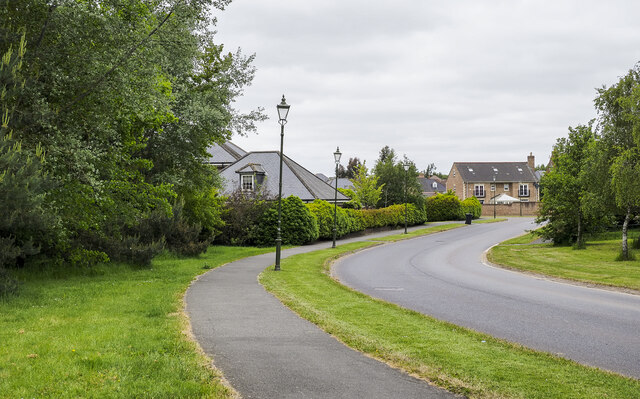
Brierley Wood offers a tranquil escape from the hustle and bustle of city life, providing a serene environment for relaxation, outdoor activities, and wildlife observation. Its accessibility, beauty, and ecological significance make it a valuable natural resource for both locals and tourists alike.

If you have any feedback on the listing, please let us know in the comments section below.

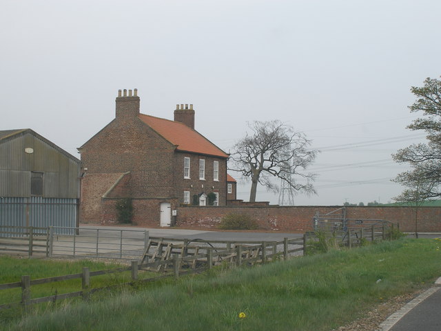
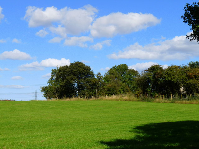
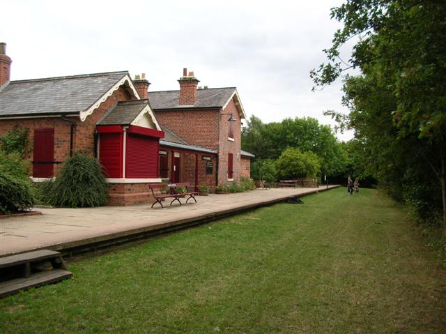
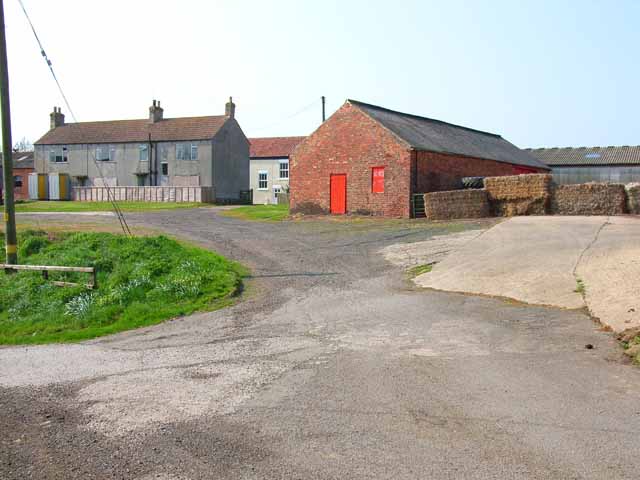
Brierley Wood Images

Images are sourced within 2km of 54.637777/-1.3856368 or Grid Reference NZ3927. Thanks to Geograph Open Source API. All images are credited.

Derelict filling station on north side of A689 The old petrol station was clearly a modest affair by modern standards, having just a tiny forecourt. It has been disused for some time - even seven year's earlier, Pauline's image shows the building to be in a poor state <a title="https://www.geograph.org.uk/photo/4015894" href="https://www.geograph.org.uk/photo/4015894">Link</a> .
Derelict filling station on north side of A689
The old petrol station was clearly a modest affair by modern standards, having just a tiny forecourt. It has been disused for some time - even seven year's earlier, Pauline's image shows the building to be in a poor state Link .
Bridleway at edge of Brierley Wood A walker along a bridleway in the larger area of Wynyard Woodland Park of which Brierley Wood is part.
The bridleway is at the edge of the trees of Brierley Wood and has, to the left in the image, a more open area which according to a nearby information board is named Pickard's Meadow.
Bridleway at edge of Brierley Wood
A walker along a bridleway in the larger area of Wynyard Woodland Park of which Brierley Wood is part. The bridleway is at the edge of the trees of Brierley Wood and has, to the left in the image, a more open area which according to a nearby information board is named Pickard's Meadow.
Footpath in Brierley Wood, curving to the east Brierley Wood is part of the larger area of Wynyard Woodland Park. Here, a path is curving around to the east where soon it will meet the Castle Eden Walkway, part of a disused railway route.
Footpath in Brierley Wood, curving to the east
Brierley Wood is part of the larger area of Wynyard Woodland Park. Here, a path is curving around to the east where soon it will meet the Castle Eden Walkway, part of a disused railway route.
Track at Grindon
Track at Grindon
A689 Hartlepool Road As viewed from the pedestrian / cycle bridge that carries that takes users of the Castle Eden walkway over the busy road.
A689 Hartlepool Road
As viewed from the pedestrian / cycle bridge that carries that takes users of the Castle Eden walkway over the busy road.
Path of Castle Eden Walkway approaching brick-built bridge The Castle Eden Walkway heading north towards a bridge partly concealed by trees and other vegetation. The Walkway is along the route of an old railway track. The purpose of the bridge is not known; perhaps it was just an accommodation bridge.
Path of Castle Eden Walkway approaching brick-built bridge
The Castle Eden Walkway heading north towards a bridge partly concealed by trees and other vegetation. The Walkway is along the route of an old railway track. The purpose of the bridge is not known; perhaps it was just an accommodation bridge.
First houses along Wynyard Woods Wynyard Woods is a winding road threading its way among upmarket homes in an area of Wynyard Village which is on the outskirts of Billingham.
First houses along Wynyard Woods
Wynyard Woods is a winding road threading its way among upmarket homes in an area of Wynyard Village which is on the outskirts of Billingham.
Castle Eden Walkway The Castle Eden Walkway is an old railway route, now a footpath and cycleway. Here it's seen looking south within the Wynyard Woodland Park to the west of Wynyard Village.
Castle Eden Walkway
The Castle Eden Walkway is an old railway route, now a footpath and cycleway. Here it's seen looking south within the Wynyard Woodland Park to the west of Wynyard Village.
Entering County Durham on the A689 Leaving Teesside
Entering County Durham on the A689
Leaving Teesside
Farm road to Old Acres Hall Farm
The English countryside ain't what it used to be Near Grindon. Two alien intruders - electricity transmission lines and oilseed rape.
The English countryside ain't what it used to be
Near Grindon. Two alien intruders - electricity transmission lines and oilseed rape.
Wynyard Woodland Park This old railway line which ran from Stockton to Wingate and beyond used to be known as the Castle Eden Walkway but that part of it which lies within the Borough of Stockton is now entitled "Wynyard Woodland Park".
Wynyard Woodland Park
This old railway line which ran from Stockton to Wingate and beyond used to be known as the Castle Eden Walkway but that part of it which lies within the Borough of Stockton is now entitled "Wynyard Woodland Park".
Private road towards Newlands, golden Elders and Woodside farm.
Grazing land to the side of a private road and the A177 The hedge at the right shows blackthorn in bloom.
Grazing land to the side of a private road and the A177
The hedge at the right shows blackthorn in bloom.
Bridleway from Thorpe Larches to Wynyard Woodland Park
Impressive garden wall beside the A177 road Thorpe Larches is the smallest of hamlets, these walls make the biggest impact!
Impressive garden wall beside the A177 road
Thorpe Larches is the smallest of hamlets, these walls make the biggest impact!
Private road to Thorpe Larches
Sheep may safely graze.... among the grass covered ruins of Layton medieval village. The Cleveland Hills form a line across the top of the field.
Sheep may safely graze....
among the grass covered ruins of Layton medieval village. The Cleveland Hills form a line across the top of the field.
Show me another place!

Brierley Wood is located at Grid Ref: NZ3927 (Lat: 54.637777, Lng: -1.3856368)

Unitary Authority: Stockton-on-Tees

Police Authority: Cleveland

What 3 Words

///purest.motivator.powers. Near Grindon, Co. Durham

Related Wikis

Thorpe Larches

Thorpe Larches is a small hamlet in County Durham in North East England, situated between Sedgefield and Stockton-on-Tees. There are approximately 21 buildings...

Wynyard railway station (England)

Wynyard railway station was a railway station on the Castle Eden branch of the North Eastern Railway (NER) from 1880 to 1931. It was located immediately...

Grindon, County Durham

Grindon is a village and former civil parish, now in the parish of Grindon and Thorpe Thewles, in the Stockton-on-Tees district, in the ceremonial county...

Wynyard Park, County Durham

Wynyard, sometimes known as Wynyard Hall, is a large English country house near Stockton-on-Tees in County Durham. The house was the English family seat...

Thorpe Thewles railway station

Thorpe Thewles railway station was a stop on the Castle Eden branch of the North Eastern Railway (NER) from 1880 to 1931. It was located approximately...

Butterwick, County Durham

Butterwick is a small village in County Durham, England. It is situated a short distance to the south east of Fishburn. Butterwick is first mentioned in...

Shotton, Sedgefield

Shotton is a village in County Durham, in England. It is situated to the north-west of Stockton-on-Tees. == Governance == An electoral ward with the same...

2005 Seve Trophy

The 2005 Seve Trophy took place 22–25 September at Wynyard Golf Club, in North East England. The team captain for Great Britain and Ireland was Colin Montgomerie...

Nearby Amenities

Located within 500m of 54.637777,-1.3856368
Fixme: Beck continues
Lat/Long: 54.6337739/-1.3838294
The data included in this document is from www.openstreetmap.org. The data is made available under ODbL.

Have you been to Brierley Wood?

Leave your review of Brierley Wood below (or comments, questions and feedback).