Hady Wood
Wood, Forest in Derbyshire Chesterfield
England
Hady Wood

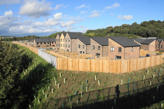
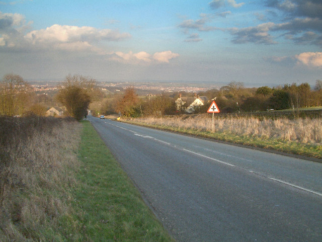
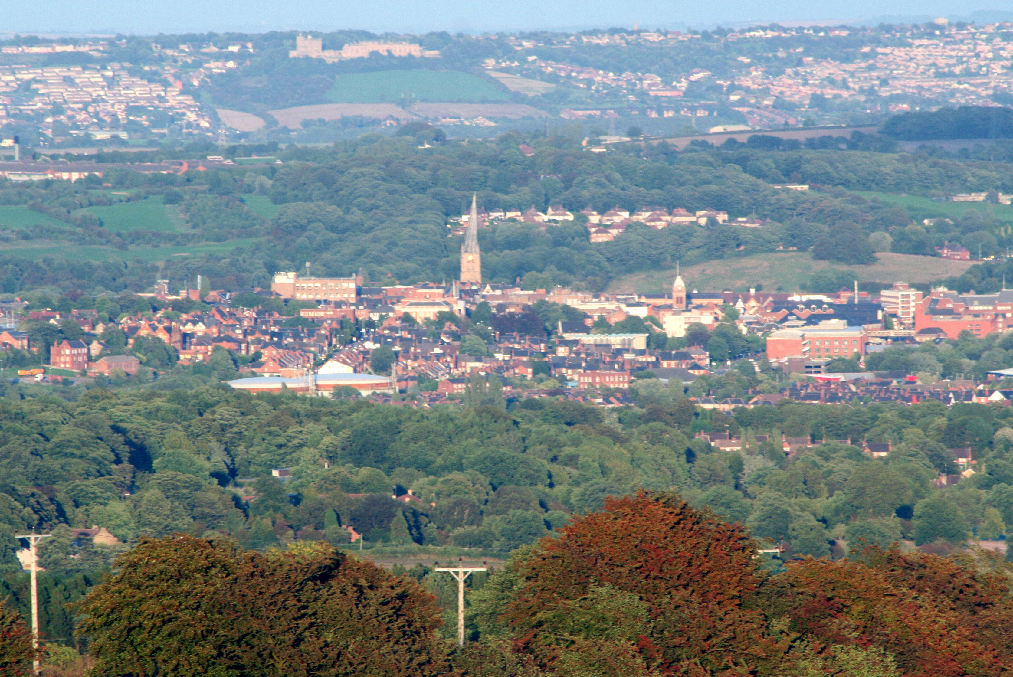
Hady Wood is a picturesque forest located in the county of Derbyshire, England. Covering an area of approximately 100 hectares, it is nestled within the rolling hills and lush green countryside of the region. The wood is part of the National Forest and is managed by the Forestry Commission.
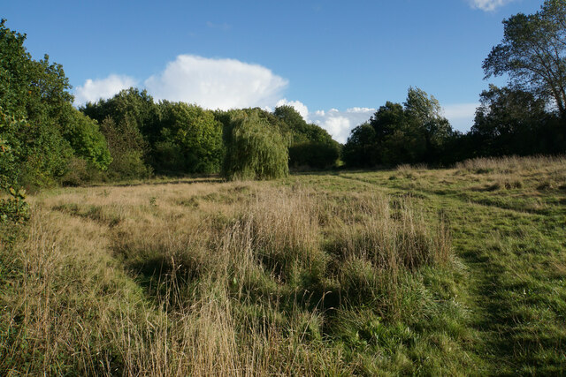
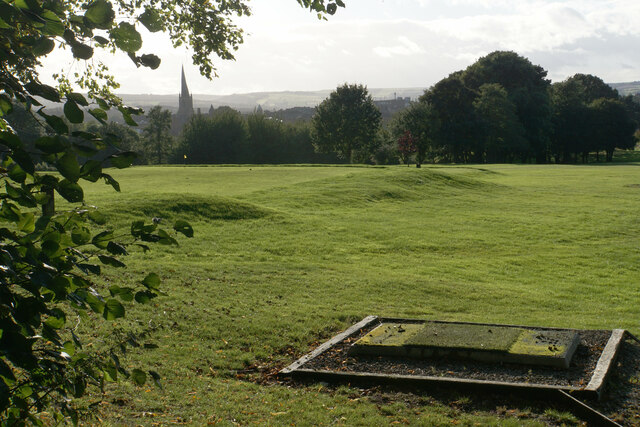
The woodland consists mainly of mixed broadleaf trees, including oak, beech, ash, and birch, creating a diverse and vibrant ecosystem. Walking through Hady Wood, visitors can enjoy the tranquil atmosphere and immerse themselves in nature's beauty. The forest floor is carpeted with a variety of wildflowers, ferns, and mosses, further enhancing the enchanting ambiance.
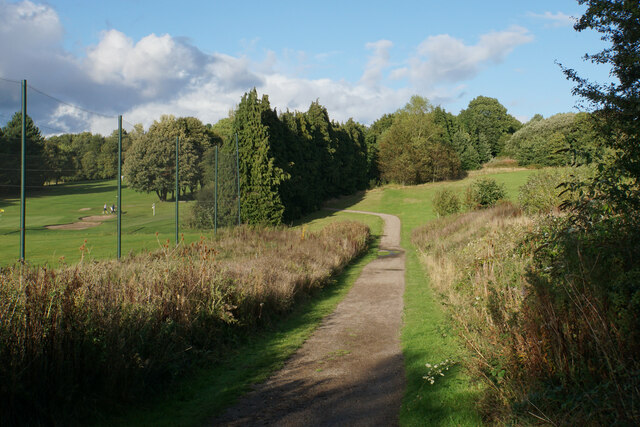
Hady Wood has a network of well-maintained footpaths and trails, making it popular among hikers, nature enthusiasts, and dog walkers. The paths meander through the forest, offering stunning views of the surrounding countryside and glimpses of wildlife such as deer, squirrels, and various bird species.
The wood is also home to a number of ancient woodland features, including veteran trees and remnants of old hedgerows. These provide habitat for a range of rare and protected species, making Hady Wood an important site for conservation efforts.
Visitors to Hady Wood will find facilities such as picnic areas, benches, and visitor information boards. The wood is easily accessible by car, with a small car park available for visitors. Overall, Hady Wood offers a peaceful escape from the hustle and bustle of urban life, allowing visitors to connect with nature and enjoy the beauty of the Derbyshire countryside.
If you have any feedback on the listing, please let us know in the comments section below.
Hady Wood Images
Images are sourced within 2km of 53.235237/-1.4060879 or Grid Reference SK3971. Thanks to Geograph Open Source API. All images are credited.


Hady Wood is located at Grid Ref: SK3971 (Lat: 53.235237, Lng: -1.4060879)
Administrative County: Derbyshire
District: Chesterfield
Police Authority: Derbyshire
What 3 Words
///square.pounds.sheet. Near Chesterfield, Derbyshire
Nearby Locations
Related Wikis

Chesterfield Royal Hospital NHS Foundation Trust
Chesterfield Royal Hospital NHS Foundation Trust became a NHS Foundation Trust in January 2005, providing health services at the Chesterfield Royal Hospital...
A632 road
The A632 is a major road in Derbyshire and Nottinghamshire, England. It starts in Matlock (53.1347°N 1.5485°W / 53.1347; -1.5485 (A632 road (western...

Chesterfield Royal Hospital
Chesterfield Royal Hospital is an acute general hospital in Chesterfield, Derbyshire. It is managed by the Chesterfield Royal Hospital NHS Foundation Trust...
Borough of Chesterfield
The Borough of Chesterfield is a non-metropolitan district with borough status in Derbyshire, England. It is named after the town of Chesterfield, its...

Municipal Borough of Chesterfield
Chesterfield was a municipal borough in Derbyshire, England from 1835 to 1974. It was formed under the Municipal Corporations Act 1835 from the Ancient...
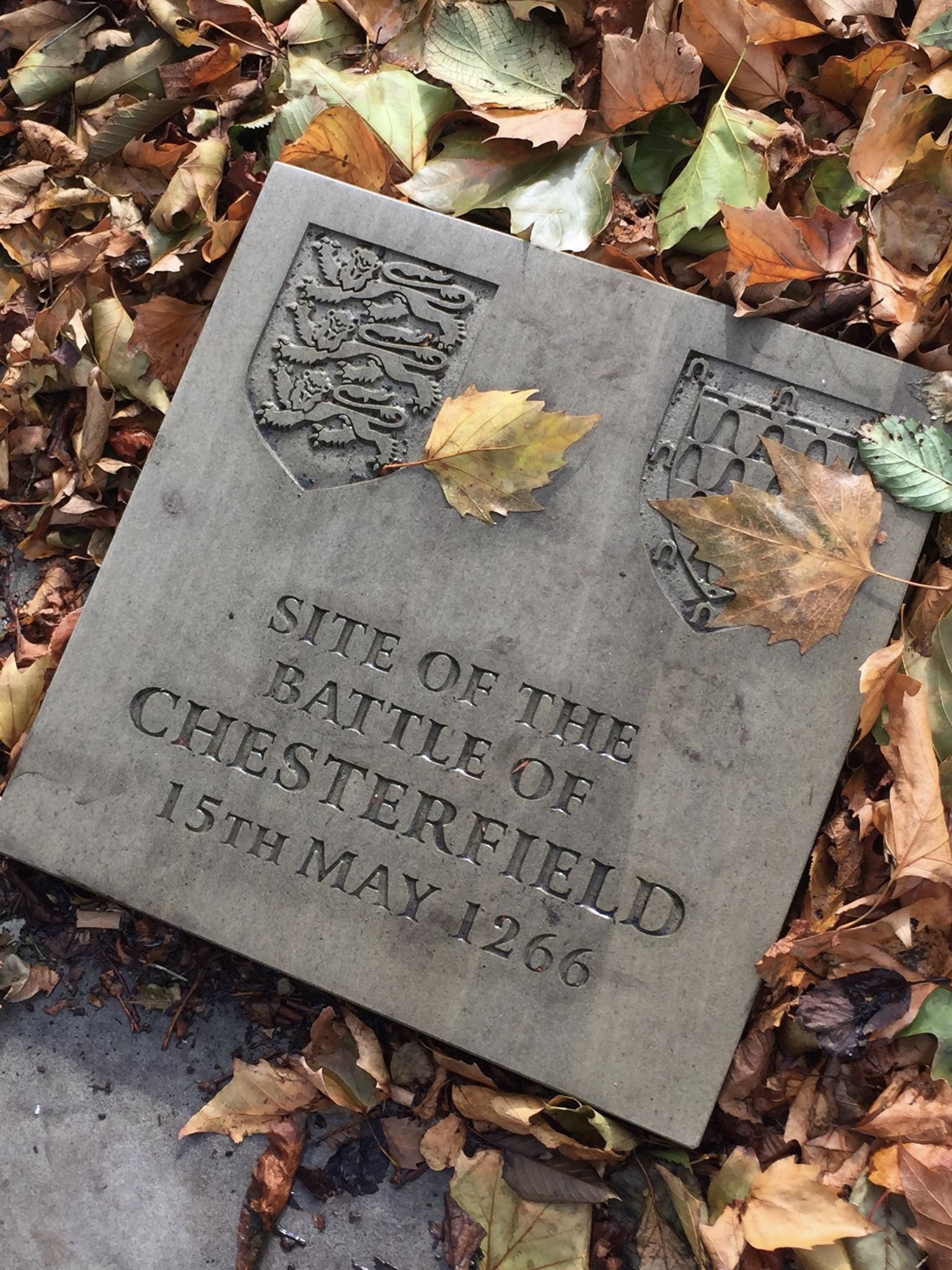
Battle of Chesterfield
The Battle of Chesterfield was a minor skirmish in the latter stages of 13th-century England's Second Barons' War. == Background == The battle was part...
Edwin Swale
Wing Commander Edwin Swale (28 June 1899 – 19 July 1978) was an English First World War flying ace credited with 17 aerial victories. His victory list...

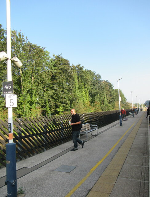
Chesterfield railway station
Chesterfield railway station serves the market town of Chesterfield in Derbyshire, England. It lies on the Midland Main Line. Four tracks pass through...
Nearby Amenities
Located within 500m of 53.235237,-1.4060879Have you been to Hady Wood?
Leave your review of Hady Wood below (or comments, questions and feedback).