Asterleigh Wood
Wood, Forest in Oxfordshire West Oxfordshire
England
Asterleigh Wood

Asterleigh Wood is a picturesque woodland located in Oxfordshire, England. This ancient forest covers an area of approximately 50 hectares and is renowned for its natural beauty and diverse wildlife. The wood is situated on the outskirts of the small village of Asterleigh, adding to its charm and tranquility.
The wood is predominantly composed of deciduous trees, including oak, beech, and ash, which create a vibrant and ever-changing canopy throughout the seasons. The forest floor is adorned with a rich carpet of bluebells in the spring, while ferns and mosses thrive in the shaded areas. Walking through Asterleigh Wood feels like stepping into a fairytale, with sun rays filtering through the dense foliage and birdsong filling the air.
The wood's biodiversity is a testament to its ecological importance. Numerous bird species call this woodland home, including woodpeckers, owls, and various songbirds. Small mammals such as foxes, badgers, and squirrels can also be spotted darting among the trees. Additionally, the wood is home to a variety of insects, including butterflies and beetles, making it a haven for nature enthusiasts and photographers alike.
Asterleigh Wood is a popular destination for outdoor enthusiasts, offering a network of well-maintained footpaths that wind through the forest. Visitors can enjoy leisurely walks, picnics, or even birdwatching from one of the designated viewpoints. The wood is also a fantastic spot for nature education, with guided tours and workshops organized by local conservation groups.
Overall, Asterleigh Wood is a hidden gem in Oxfordshire, providing a tranquil escape and a chance to reconnect with nature. Its natural beauty, diverse wildlife, and accessibility make it a must-visit destination for anyone seeking an immersive woodland experience.
If you have any feedback on the listing, please let us know in the comments section below.
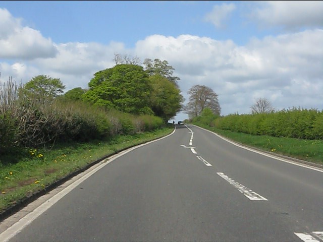
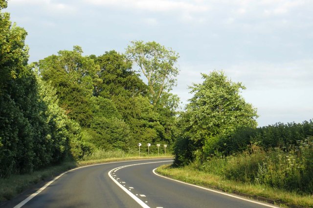
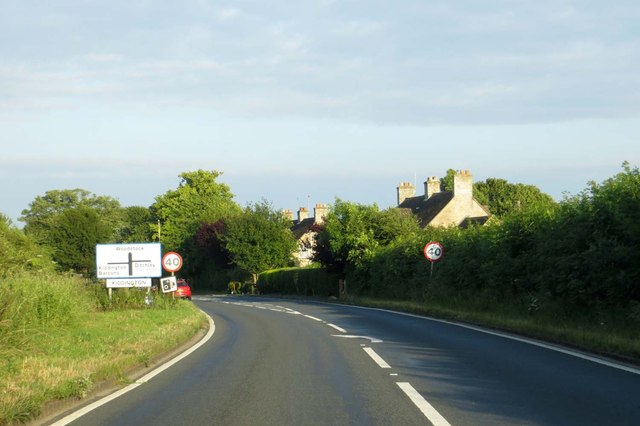
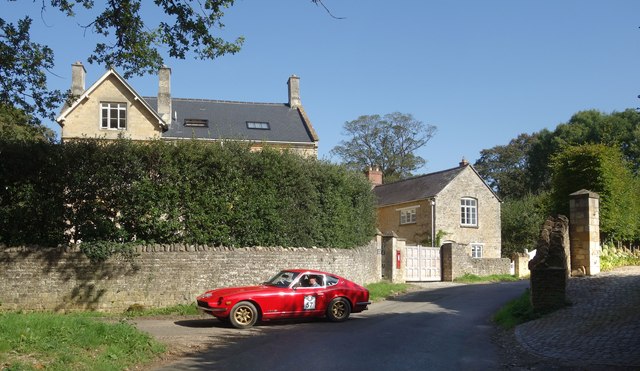
Asterleigh Wood Images
Images are sourced within 2km of 51.897149/-1.424902 or Grid Reference SP3922. Thanks to Geograph Open Source API. All images are credited.


Asterleigh Wood is located at Grid Ref: SP3922 (Lat: 51.897149, Lng: -1.424902)
Administrative County: Oxfordshire
District: West Oxfordshire
Police Authority: Thames Valley
What 3 Words
///grownup.sneezing.finishers. Near Charlbury, Oxfordshire
Nearby Locations
Related Wikis

Asterleigh
Asterleigh, sometimes in the past called Esterley, is a farm and deserted medieval village about 3 miles (4.8 km) northeast of Charlbury in Oxfordshire...

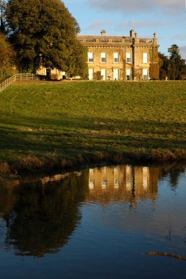
Ditchley Park
Ditchley Park is a country house near Charlbury in Oxfordshire, England. The estate was once the site of a Roman villa. Later it became a royal hunting...

Over Kiddington
Over Kiddington is a hamlet in the civil parish of Kiddington with Asterleigh in Oxfordshire, England, about 7 miles (11 km) southeast of Chipping Norton...
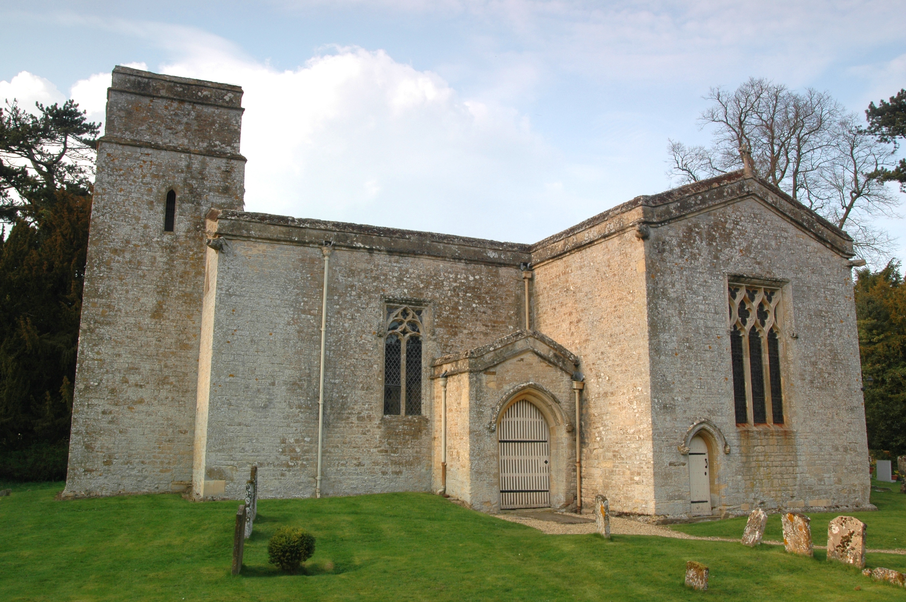
Kiddington Hall
Kiddington Hall is a large Grade II listed manor house located in Kiddington, near Woodstock, Oxfordshire, England. == History == Kiddington Hall was built...
Kiddington
Kiddington is a village in the civil parish of Kiddington with Asterleigh, in the West Oxfordshire district, in the county of Oxfordshire, England. The...

Out Wood
Out Wood is a 19.2-hectare (47-acre) biological Site of Special Scientific Interest east of Charlbury in Oxfordshire.This semi-natural wood is a surviving...

Fulwell, Oxfordshire
Fulwell is a hamlet in the civil parish of Enstone in Oxfordshire, England. It lies about 4.5 miles (7 km) southeast of Chipping Norton. Fulwell's toponym...
Pheleley Priory
Pheleley Priory was a small 12th-century Benedictine monastic community located in a detached part of Bloxham, near Charlbury, in the English county of...
Have you been to Asterleigh Wood?
Leave your review of Asterleigh Wood below (or comments, questions and feedback).