Bluebank Wood

Wood, Forest in Derbyshire Chesterfield

England

Bluebank Wood

Sainsbury's, Chesterfield Slightly out of town along the A619.
Sainsbury's, Chesterfield Credit: Bill Boaden

Bluebank Wood is a picturesque woodland located in the county of Derbyshire, England. Situated near the town of Matlock, this enchanting forest covers an area of approximately 250 acres, offering visitors a tranquil retreat from the hustle and bustle of city life.

The wood is predominantly composed of native broadleaf trees, including oak, beech, and birch, which create a vibrant and diverse ecosystem. Bluebells, wild garlic, and other woodland flowers carpet the forest floor during spring, adding a touch of color and beauty to the surroundings.

The wood is crisscrossed with a network of well-maintained footpaths, making it a popular destination for walkers, hikers, and nature enthusiasts. The trails wind through the dense foliage, leading visitors to hidden clearings, babbling streams, and stunning viewpoints overlooking the surrounding Derbyshire countryside.

The abundant wildlife in Bluebank Wood includes a variety of bird species, such as woodpeckers, thrushes, and owls. Small mammals like badgers, foxes, and squirrels can also be spotted, along with a diverse range of insects and butterflies.

Bluebank Wood is managed by a local conservation organization, which ensures the preservation and protection of its natural beauty. The wood is open to the public throughout the year, with no admission fee, allowing visitors to explore its wonders and immerse themselves in the serenity of nature.

Overall, Bluebank Wood is a hidden gem in Derbyshire, offering a peaceful and idyllic setting for nature lovers to escape, unwind, and reconnect with the natural world.

If you have any feedback on the listing, please let us know in the comments section below.

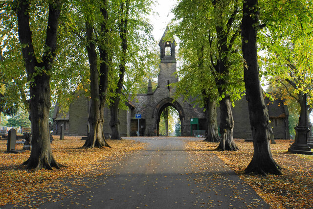
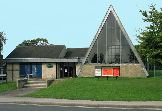
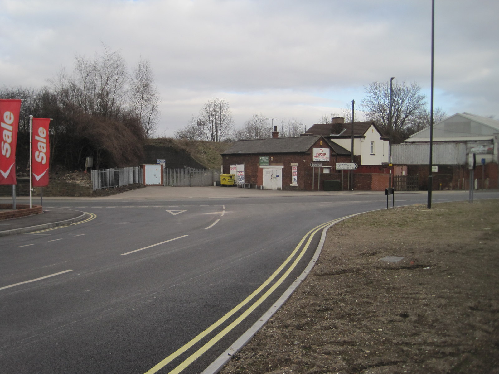
Bluebank Wood Images

Images are sourced within 2km of 53.265655/-1.4077057 or Grid Reference SK3974. Thanks to Geograph Open Source API. All images are credited.

Sainsbury's, Chesterfield Slightly out of town along the A619.
Sainsbury's, Chesterfield
Slightly out of town along the A619.
Two units in Trade Park, Lockoford Lane Viewed from across the railway in the Sainsbury's car park.
Two units in Trade Park, Lockoford Lane
Viewed from across the railway in the Sainsbury's car park.
Thompson Street and Webster's Scrap Metals, Chesterfield
Sainsbury's roundabout A large roundabout on the A619. A new housing estate has just been built which also accesses this roundabout.
Sainsbury's roundabout
A large roundabout on the A619. A new housing estate has just been built which also accesses this roundabout.
New houses at Heritage Green Behind are fields leading up to Brimington.
New houses at Heritage Green
Behind are fields leading up to Brimington.
Heritage Green A new housing estate off the A619.
Heritage Green
A new housing estate off the A619.
Field between Brimington and Chesterfield A planted field on the north side of the A619. An island of trees has been retained.
Field between Brimington and Chesterfield
A planted field on the north side of the A619. An island of trees has been retained.
Brimington Cemetery A Chesterfield Borough Council cemetery, enhanced by autumn leaves.
Brimington Cemetery
A Chesterfield Borough Council cemetery, enhanced by autumn leaves.
Old Whittington, St Bartholomew
Tapton Lock Visitor Centre Visitor Centre at Tapton.
Tapton Lock Visitor Centre
Visitor Centre at Tapton.
Chesterfield Canal Canal at Tapton.
Chesterfield Canal
Canal at Tapton.
Technique Stadium The home of Chesterfield FC since 2010. Following setbacks in recent seasons, this is now a very good stadium for the National League.
Technique Stadium
The home of Chesterfield FC since 2010. Following setbacks in recent seasons, this is now a very good stadium for the National League.
The Glassworks A pub name preserving the memory of the former glassworks which used to stand opposite.
The Glassworks
A pub name preserving the memory of the former glassworks which used to stand opposite.
The East Stand, Proact Stadium
Casa, Chesterfield Hotel built in 2010.
Casa, Chesterfield
Hotel built in 2010.
South Stand, Proact Stadium
Tesco Extra, Chesterfield The supermarket is built above a vast carpark.
Tesco Extra, Chesterfield
The supermarket is built above a vast carpark.
Modern factory beside the A61 Just north of Chesterfield.
Modern factory beside the A61
Just north of Chesterfield.
Show me another place!

Bluebank Wood is located at Grid Ref: SK3974 (Lat: 53.265655, Lng: -1.4077057)

Administrative County: Derbyshire

District: Chesterfield

Police Authority: Derbyshire

What 3 Words

///foil.rock.forms. Near Chesterfield, Derbyshire

Nearby Locations

Bluebank Wood

Related Wikis

Whittington railway station

Whittington railway station is a former railway station on the southern edge of New Whittington, Derbyshire, England. == History == The original Whittington...

Sheepbridge and Brimington railway station

Sheepbridge and Brimington railway station was on the outskirts of the town of Chesterfield, Derbyshire. The station was on the Great Central Chesterfield...

Whittington Green School

Whittington Green School (formerly The Meadows Community School) is a mixed secondary school located in Old Whittington, Chesterfield in the English county...

New Whittington

New Whittington is a village located in the Borough of Chesterfield, in Derbyshire, England, near to Whittington Moor and Old Whittington. It is also to...

Barrow Hill and New Whittington

Barrow Hill and New Whittington is one of the nineteen wards that make up the borough of Chesterfield, Derbyshire. The population of the ward was 5,903...

Brimington

Brimington is a large village and civil parish in the Borough of Chesterfield in Derbyshire, England. The population of the parish taken at the 2011 census...

Sheepbridge railway station

Sheepbridge railway station was a station in Chesterfield, Derbyshire, England. It was built by the Midland Railway in 1870 on what is known to railwaymen...

Old Whittington

Old Whittington is a village in the Borough of Chesterfield in Derbyshire, England. Old Whittington is 2 miles (3.2 km) north of Chesterfield and 10 miles...

Nearby Amenities

Located within 500m of 53.265655,-1.4077057
Whittington Gauging Station
Waterway: weir
Lat/Long: 53.2658994/-1.411404
Seamark Type: gate
Waterway: lock_gate
Lat/Long: 53.2679032/-1.4047012
Seamark Type: gate
Waterway: lock_gate
Lat/Long: 53.2679132/-1.4043173
Barrier: stile
Bicycle: yes
Foot: yes
Note: There's only one stile
Lat/Long: 53.2679798/-1.4038353
Bench
Ele: 63.8127441
Lat/Long: 53.2645029/-1.4115378
Bench
Ele: 63.8127441
Lat/Long: 53.2638223/-1.4114978
Bench
Ele: 63.3321533
Lat/Long: 53.2633324/-1.4117524
Bench
Ele: 64.0531006
Lat/Long: 53.2627679/-1.4121143
Bench
Ele: 64.0531006
Lat/Long: 53.2622645/-1.4123618
Bench
Ele: 62.8514404
Lat/Long: 53.266043/-1.407993
Bench
Ele: 63.3321533
Lat/Long: 53.2660019/-1.4087397
Bench
Ele: 63.5725098
Lat/Long: 53.2660198/-1.4096998
Bench
Ele: 63.0917969
Lat/Long: 53.2654218/-1.4106451
Bench
Ele: 63.5725098
Lat/Long: 53.2650214/-1.4111172
Bench
Ele: 62.8514404
Lat/Long: 53.2680091/-1.4045083
Bench
Ele: 62.6110840
Lat/Long: 53.2679526/-1.4050662
Bench
Ele: 63.0917969
Lat/Long: 53.26766/-1.4062334
Bench
Ele: 62.3708496
Lat/Long: 53.2669978/-1.4066283
Bench
Ele: 62.6110840
Lat/Long: 53.2665512/-1.4071261
Bench
Ele: 60.4482422
Lat/Long: 53.2679578/-1.4012724
Bench
Ele: 59.9674072
Lat/Long: 53.268081/-1.4021307
Bench
Ele: 60.4482422
Lat/Long: 53.26809/-1.4029175
Ele: 63
Lat/Long: 53.2681827/-1.4033068
Bench
Lat/Long: 53.2650605/-1.4113089
Bench
Lat/Long: 53.2645375/-1.4117193
Bench
Lat/Long: 53.2641572/-1.4119982
Bench
Lat/Long: 53.2630152/-1.4124737
Bench
Lat/Long: 53.2636712/-1.4122516
Bench
Lat/Long: 53.2657775/-1.4103808
Bench
Lat/Long: 53.2661016/-1.4099651
Bench
Lat/Long: 53.2664241/-1.4094957
Bench
Lat/Long: 53.2623363/-1.4127209
Bench
Lat/Long: 53.2671685/-1.4078944
Bench
Lat/Long: 53.2674107/-1.4073042
Bench
Lat/Long: 53.2653284/-1.4109575
Bench
Lat/Long: 53.267754/-1.4062635
Bench
Lat/Long: 53.2679833/-1.4053221
Barrier: stile
Steps: 2
Stile: stepover
Lat/Long: 53.2689234/-1.4066095
Barrier: kissing_gate
Lat/Long: 53.2686593/-1.4080623
Barrier: motorcycle_barrier
Lat/Long: 53.2696139/-1.4065384
Fixme: This LNR extends right around to the Mill pub
Lat/Long: 53.2681294/-1.4040398
Generator Method: photovoltaic
Generator Output Electricity: yes
Generator Source: solar
Generator Type: solar_photovoltaic_panel
Location: roof
Power: generator
Lat/Long: 53.2700076/-1.4065556
Generator Method: photovoltaic
Generator Output Electricity: yes
Generator Source: solar
Generator Type: solar_photovoltaic_panel
Location: roof
Power: generator
Lat/Long: 53.2697971/-1.4067843
Generator Method: photovoltaic
Generator Output Electricity: yes
Generator Source: solar
Generator Type: solar_photovoltaic_panel
Location: roof
Power: generator
Lat/Long: 53.269846/-1.4067628
Bench
Lat/Long: 53.2668056/-1.4086348
Peaceful Slow
Artist Name: Alistair Farson
Artwork Type: sculpture
Material: wood
Tourism: artwork
Lat/Long: 53.2680107/-1.4041632
Tourism: picnic_site
Lat/Long: 53.2680266/-1.4042161
The data included in this document is from www.openstreetmap.org. The data is made available under ODbL.

Have you been to Bluebank Wood?

Leave your review of Bluebank Wood below (or comments, questions and feedback).