Dogkennel Copse

Wood, Forest in Berkshire

England

Dogkennel Copse

Gallops at Whatcombe This square basically stud farming and there are many gallops all over the square. These ones, viewed from the road, run across the centre of the square.
Gallops at Whatcombe Credit: Pam Brophy

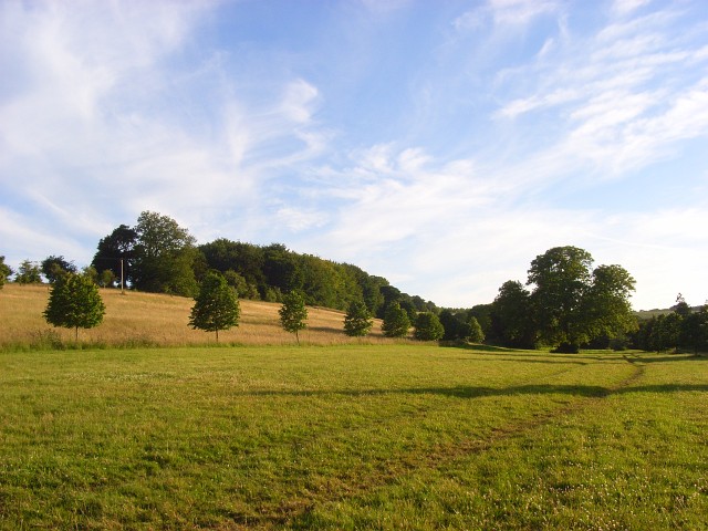
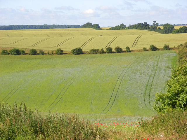
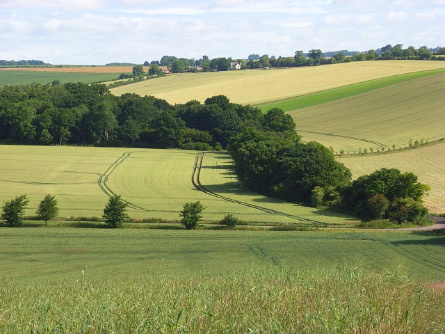
Dogkennel Copse is a small woodland area located in Berkshire, England. Situated near the town of Maidenhead, it covers an approximate area of 10 acres. The copse is characterized by its dense trees, creating a peaceful and secluded atmosphere.

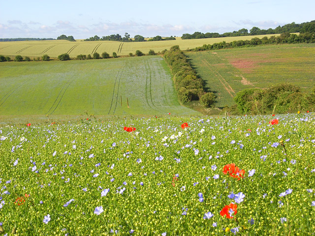
The woodland is primarily composed of deciduous trees such as oak, beech, and birch, which provide a vibrant display of colors during the autumn months. The forest floor is covered in a thick carpet of moss, ferns, and wildflowers, adding to the copse's natural beauty.

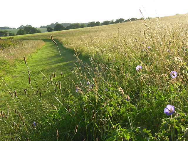
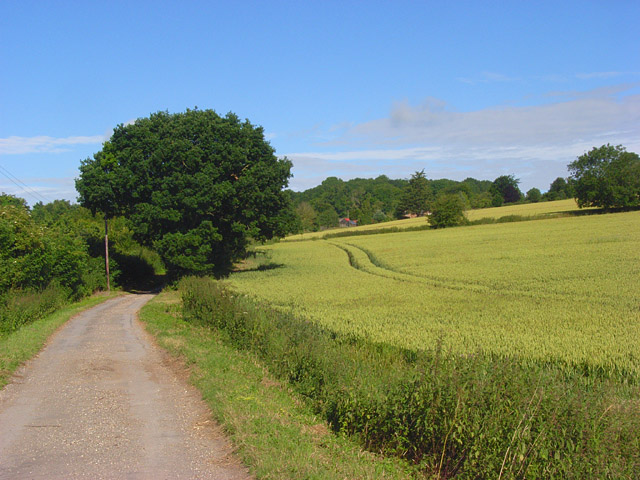
Dogkennel Copse is a popular destination for nature enthusiasts, dog walkers, and families looking for a tranquil outdoor experience. The woodland offers a network of well-maintained footpaths, making it easy to explore the area. These paths wind through the trees, allowing visitors to immerse themselves in the sights and sounds of nature.

The copse is home to a variety of wildlife, including birds, squirrels, and deer. Birdwatchers will delight in the diverse range of species that can be spotted within the woodland. The peaceful surroundings of Dogkennel Copse provide an ideal habitat for these creatures.

Visitors to Dogkennel Copse are advised to come prepared with appropriate footwear and clothing, as the woodland can become muddy and slippery during wet weather. Additionally, it is important to respect the natural environment by not littering and keeping dogs on a leash to protect the wildlife.

Overall, Dogkennel Copse offers a serene escape from the bustling urban areas nearby, providing a peaceful retreat for nature lovers and a haven for local wildlife.

If you have any feedback on the listing, please let us know in the comments section below.

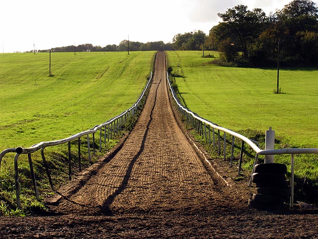
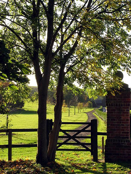
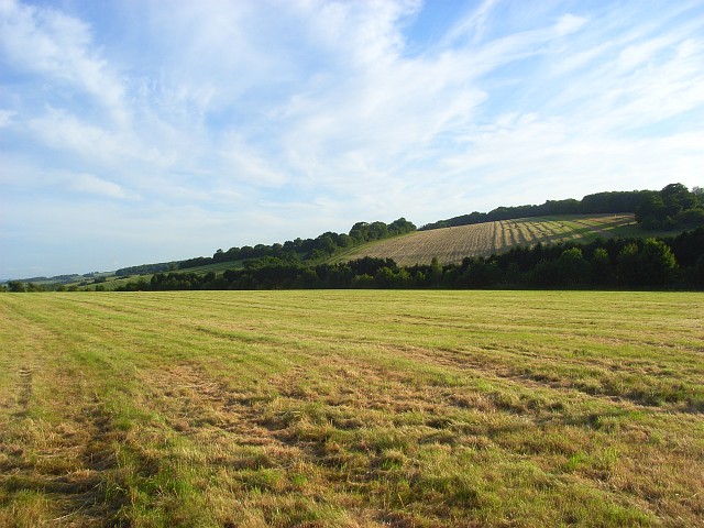
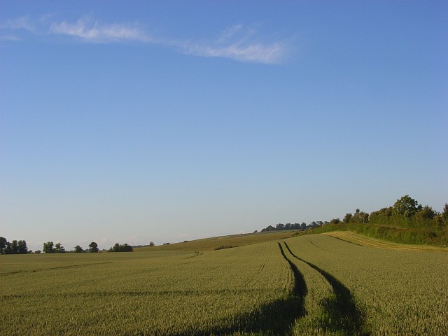
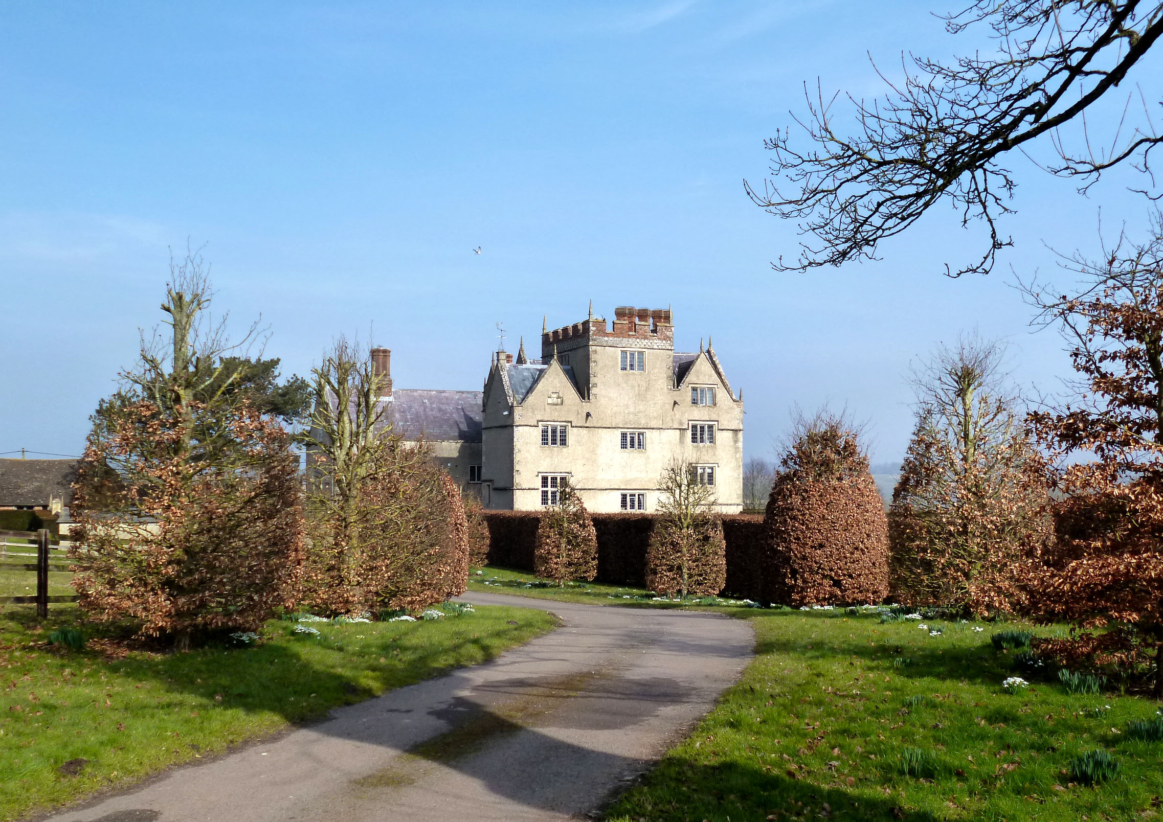
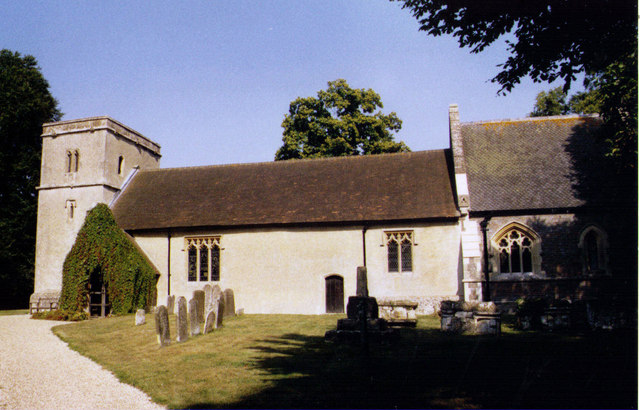
Dogkennel Copse Images

Images are sourced within 2km of 51.516287/-1.4337298 or Grid Reference SU3979. Thanks to Geograph Open Source API. All images are credited.

Gallops at Whatcombe This square basically stud farming and there are many gallops all over the square. These ones, viewed from the road, run across the centre of the square.
Gallops at Whatcombe
This square basically stud farming and there are many gallops all over the square. These ones, viewed from the road, run across the centre of the square.
Footpath at Watscombe Estate Entrance The stile at the entrance to Watscombe.
Footpath at Watscombe Estate Entrance
The stile at the entrance to Watscombe.
Pound's Farmhouse Its position atop the hill affords it a great view.
Pound's Farmhouse
Its position atop the hill affords it a great view.
Farmland near Pound's Farm The upper reaches of a small valley with Hasham/Lady Copse on the right.
Farmland near Pound's Farm
The upper reaches of a small valley with Hasham/Lady Copse on the right.
Farmland above South Fawley Furze Border is the copse in the left half of the picture with Field Border to its right.
Farmland above South Fawley
Furze Border is the copse in the left half of the picture with Field Border to its right.
Mown hay, Fawley Fields either side of the A338.
Mown hay, Fawley
Fields either side of the A338.
Wheat, Fawley The hedge to the right is beside the A338. This is the view from the start of Dogkennel Lane.
Wheat, Fawley
The hedge to the right is beside the A338. This is the view from the start of Dogkennel Lane.
Wheat, Fawley The slopes of a dry valley viewed from the southern end of Furze Border (copse).
Wheat, Fawley
The slopes of a dry valley viewed from the southern end of Furze Border (copse).
Grass and woodland, Whatcombe Beside the bridleway approaching Whatcombe with areas of mown and unmown grass below Whatcombe Copse.
Grass and woodland, Whatcombe
Beside the bridleway approaching Whatcombe with areas of mown and unmown grass below Whatcombe Copse.
Hillside, Whatcombe A field of unmown grass beside the start of the footpath to South Fawley just above Whatcombe. Meadow cranesbill and plantains are present here.
Hillside, Whatcombe
A field of unmown grass beside the start of the footpath to South Fawley just above Whatcombe. Meadow cranesbill and plantains are present here.
Hillside, Whatcombe Long grass beside the footpath between Whatcombe and South Fawley.
Hillside, Whatcombe
Long grass beside the footpath between Whatcombe and South Fawley.
Wheat, Fawley The crop beside the footpath between Whatcombe and South Fawley.
Wheat, Fawley
The crop beside the footpath between Whatcombe and South Fawley.
Wheat, Fawley The downland here is mostly characterised by large arable fields. There is some pasture as well as plenty of copses. One such area of woodland casts long shadows across this shallow dry valley as the evening draws to an end.
Wheat, Fawley
The downland here is mostly characterised by large arable fields. There is some pasture as well as plenty of copses. One such area of woodland casts long shadows across this shallow dry valley as the evening draws to an end.
Farmland, Fawley Looking across wheatfields from the bridleway on Kite Hill above Whatcombe.
Farmland, Fawley
Looking across wheatfields from the bridleway on Kite Hill above Whatcombe.
Farmland, Great Shefford Wheat alongside the restricted byway to Henley Farm.
Farmland, Great Shefford
Wheat alongside the restricted byway to Henley Farm.
Farmland, Great Shefford The first field contains flax and beyond are acres of rolling wheat.
Farmland, Great Shefford
The first field contains flax and beyond are acres of rolling wheat.
Farmland, Great Shefford Flax with poppies. The view south from beside the byway above Henley Farm.
Farmland, Great Shefford
Flax with poppies. The view south from beside the byway above Henley Farm.
Farmland, Great Shefford Wheat and woodland near Whatcombe viewed from Kites Hill. South Fawley is visible in the distance.
Farmland, Great Shefford
Wheat and woodland near Whatcombe viewed from Kites Hill. South Fawley is visible in the distance.
Show me another place!

Dogkennel Copse is located at Grid Ref: SU3979 (Lat: 51.516287, Lng: -1.4337298)

Unitary Authority: West Berkshire

Police Authority: Thames Valley

What 3 Words

///drifters.taskbar.postings. Near Chaddleworth, Berkshire

Nearby Locations

Dogkennel Copse Whatscombe

Related Wikis

Fawley, Berkshire

Fawley is a village and civil parish in West Berkshire, England. The hub of the village is centred 3.5 miles (5.6 km) east of Lambourn and has a sub-community...

South Fawley

South Fawley is a small village in the civil parish of Fawley in the English county of Berkshire. According to the Post Office, South Fawley Farm's population...

Chaddleworth

Chaddleworth is a village and civil parish in the English county of Berkshire. == Geography == The village of Chaddleworth lies below the southern slopes...

Brightwalton

Brightwalton is a village and civil parish in the Berkshire Downs centred 7 miles (11 km) NNW of Newbury in West Berkshire. == Parish church == The Church...

Nearby Amenities

Located within 500m of 51.516287,-1.4337298
Power: pole
Source: Bing
Lat/Long: 51.5178294/-1.4393268
Power: pole
Source: Bing
Lat/Long: 51.5162791/-1.4367011
Power: pole
Source: Bing
Lat/Long: 51.5139255/-1.4336434
Power: pole
Source: Bing
Lat/Long: 51.5149989/-1.4343515
Power: pole
Source: Bing
Lat/Long: 51.5156414/-1.435537
South Fawley
Place: hamlet
Source: survey
Wikidata: Q7567211
Lat/Long: 51.5194402/-1.4388077
The data included in this document is from www.openstreetmap.org. The data is made available under ODbL.

Have you been to Dogkennel Copse?

Leave your review of Dogkennel Copse below (or comments, questions and feedback).