Ascott Earl
Settlement in Oxfordshire West Oxfordshire
England
Ascott Earl
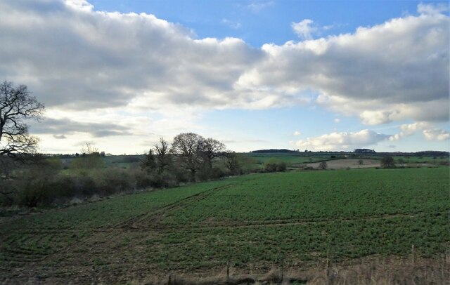
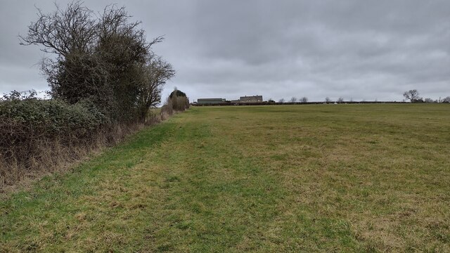
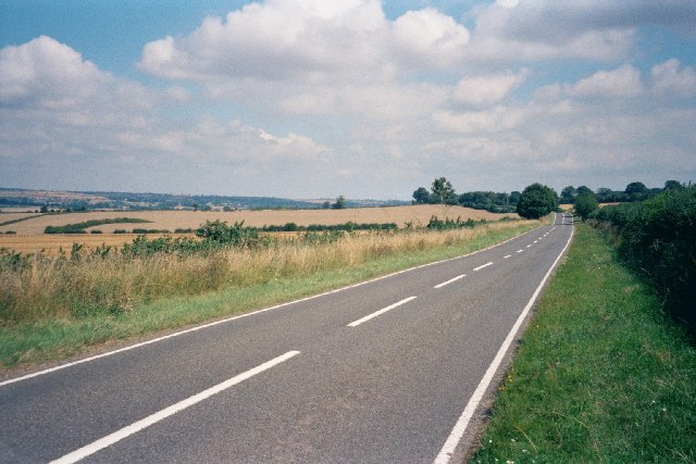
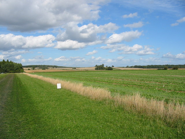
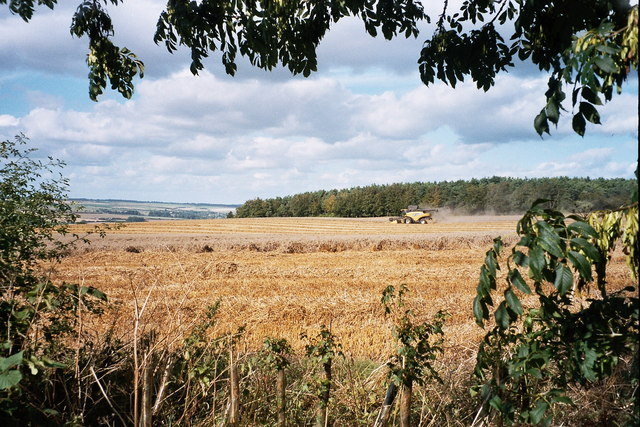
Ascott Earl is a picturesque village located in Oxfordshire, England. Situated approximately 12 miles northwest of Oxford, it lies in a scenic rural setting surrounded by rolling hills and lush green countryside. The village is part of the Cherwell district and falls within the wider Cotswolds Area of Outstanding Natural Beauty.
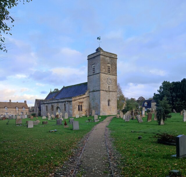
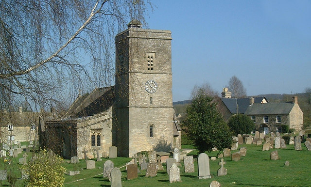
Ascott Earl is known for its charming and well-preserved architecture, with many historic buildings dating back to the medieval period. The village is home to a quaint 12th-century parish church, dedicated to St. Giles, which stands as a testament to its rich heritage. The rural character of the village is further enhanced by the presence of several traditional thatched cottages, adding to its timeless appeal.
For nature enthusiasts, Ascott Earl offers plenty of opportunities to explore the great outdoors. The village is surrounded by idyllic walking trails and footpaths, allowing visitors to immerse themselves in the beauty of the Oxfordshire countryside. Additionally, the nearby Wychwood Forest provides a haven for wildlife, including deer, birds, and various woodland creatures.
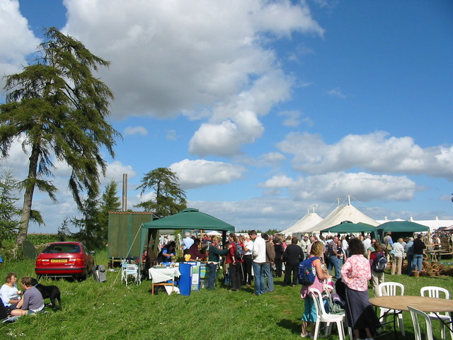
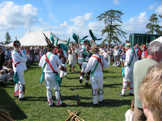
Despite its small size, Ascott Earl benefits from a strong sense of community. The village boasts a well-regarded primary school, ensuring local children receive a quality education within their own community. Furthermore, the village pub serves as a hub for social gatherings and a place where locals and visitors can enjoy traditional British cuisine and ales.
Overall, Ascott Earl is a tranquil and charming village, offering a perfect escape from the hustle and bustle of city life, and a delightful destination for those seeking to explore the enchanting Oxfordshire countryside.
If you have any feedback on the listing, please let us know in the comments section below.
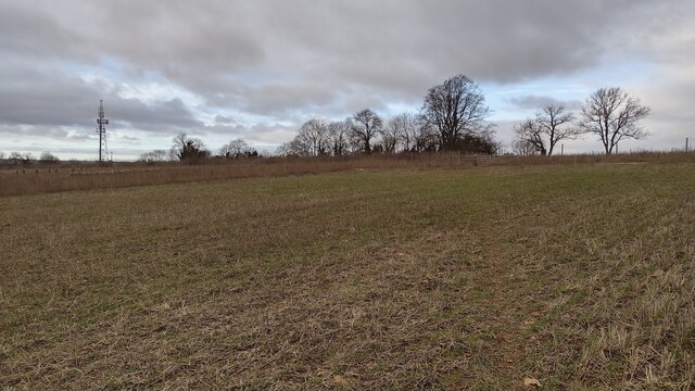
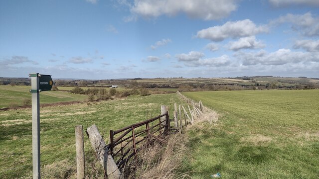
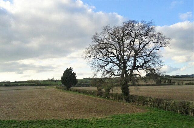
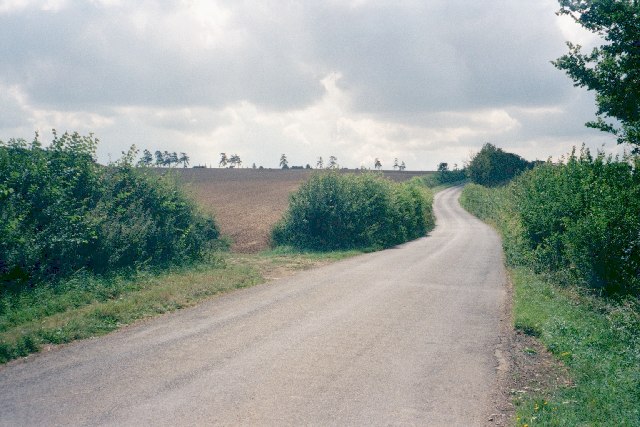
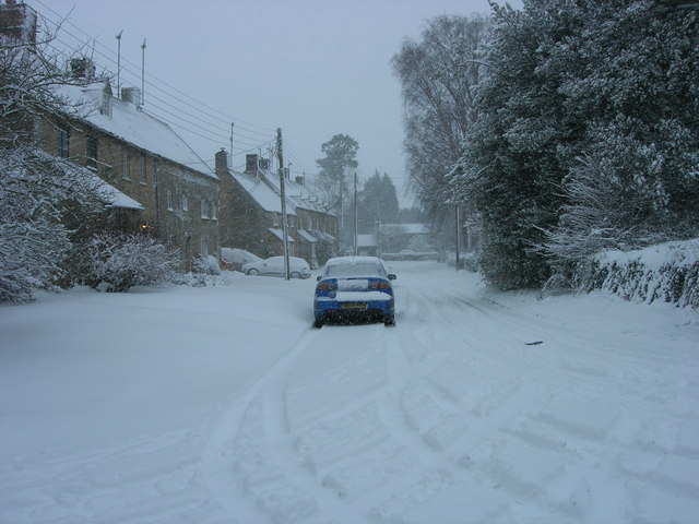
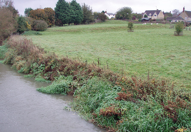
Ascott Earl Images
Images are sourced within 2km of 51.863343/-1.567205 or Grid Reference SP2918. Thanks to Geograph Open Source API. All images are credited.

Ascott Earl is located at Grid Ref: SP2918 (Lat: 51.863343, Lng: -1.567205)
Administrative County: Oxfordshire
District: West Oxfordshire
Police Authority: Thames Valley
What 3 Words
///arranger.chemistry.rinse. Near Shipton under Wychwood, Oxfordshire
Nearby Locations
Related Wikis
Ascott Earl Castle
Ascott Earl Castle was a castle in the village of Ascott Earl, Oxfordshire, England. == Details == Ascott Earl Castle was built in the village of Ascott...
Ascott Earl
Ascott Earl is a village in Oxfordshire, England. There are the remains of a motte-and-bailey castle beside the river Evenlode. == External links == Media...

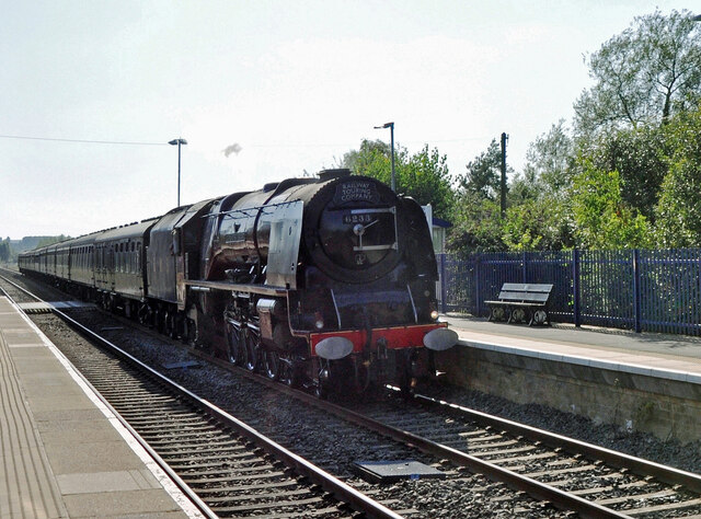
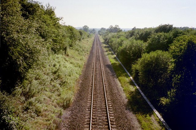
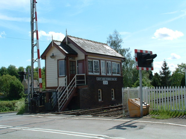
Ascott-under-Wychwood railway station
Ascott-under-Wychwood railway station is a railway station serving the village of Ascott-under-Wychwood in Oxfordshire, England. It is on the Cotswold...

Ascott d'Oyley
Ascott d'Oyley is a village in Oxfordshire, England. The name ‘Ascott’ is derived from the Old English ēast (east) and cot (cottage), whilst d’Oyley was...

Ascot d'Oilly Castle
Ascot d'Oilly Castle is situated north of the village of Ascott-under-Wychwood in the north west region of Oxfordshire. It is a scheduled ancient monument...

Ascott-under-Wychwood
Ascott-under-Wychwood is a village and civil parish in the Evenlode valley about 4.5 miles (7 km) south of Chipping Norton, Oxfordshire, England. The 2011...

Milton-under-Wychwood
Milton-under-Wychwood is an English village and civil parish about 4 miles (6.4 km) north of Burford, Oxfordshire, just off the A361 road between Burford...

Shipton railway station
Shipton railway station serves the villages of Shipton-under-Wychwood and Milton-under-Wychwood in Oxfordshire, England. The station and all trains serving...
Nearby Amenities
Located within 500m of 51.863343,-1.567205Have you been to Ascott Earl?
Leave your review of Ascott Earl below (or comments, questions and feedback).