Birch Coppice

Wood, Forest in Leicestershire North West Leicestershire

England

Birch Coppice

Worthington Lane Looking along Worthington Lane with rich farmland on both sides of the road.
Worthington Lane Credit: Malcolm Neal

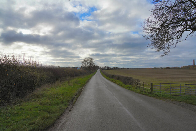
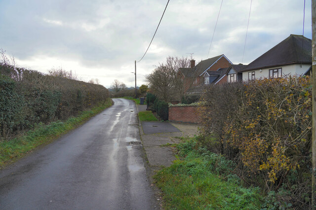
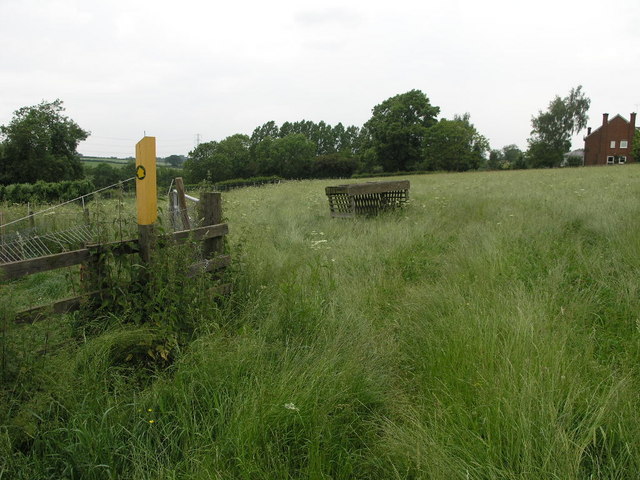
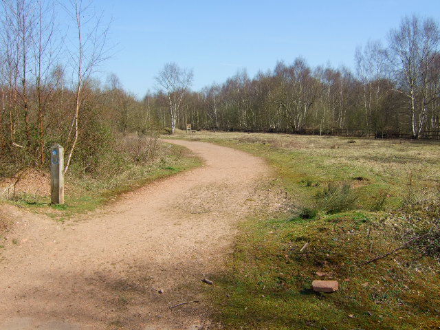
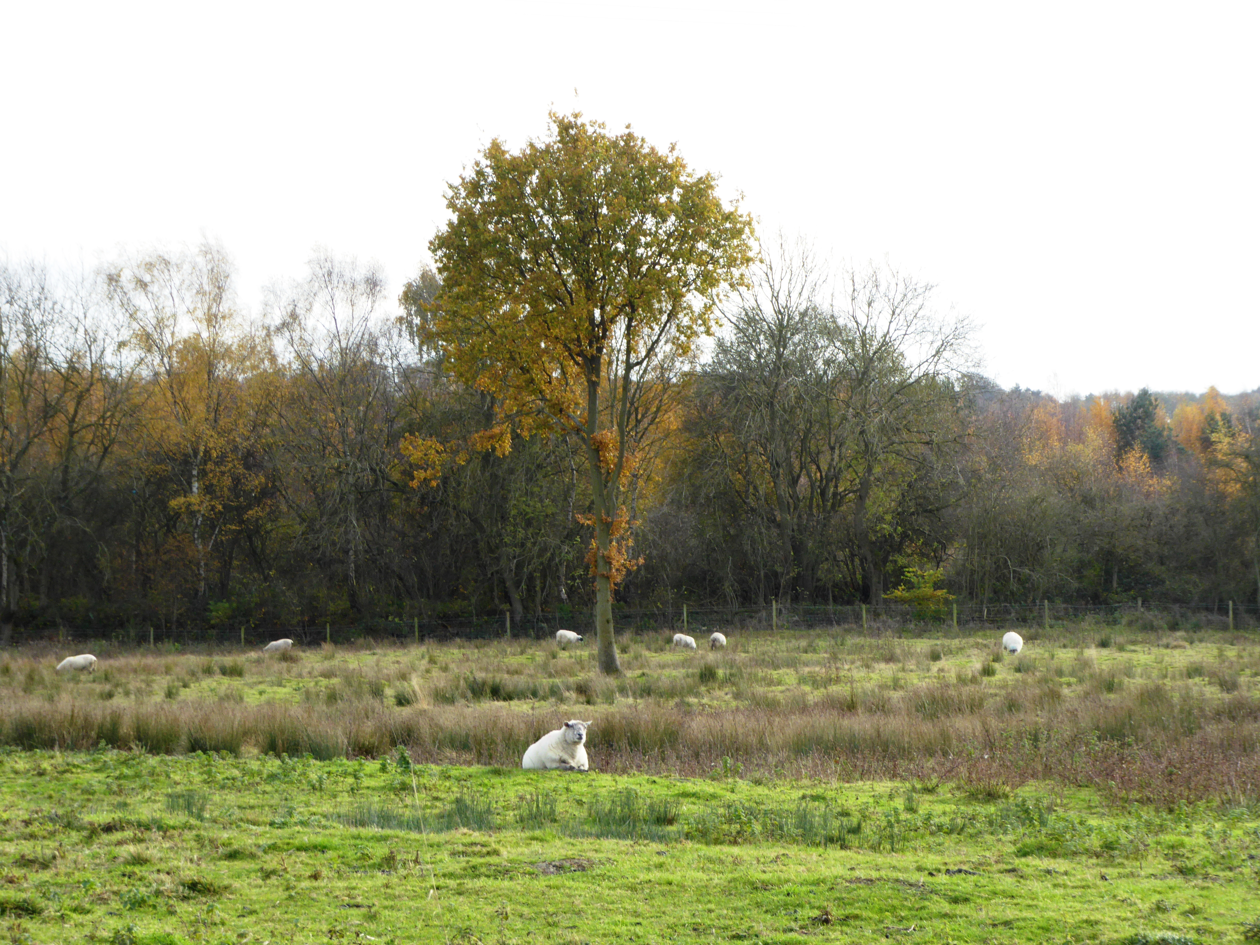
Birch Coppice is a picturesque woodland area located in Leicestershire, England. Covering an expansive area, this forest serves as an important natural habitat for a diverse range of flora and fauna. The woodland is primarily composed of birch trees, which give the area its distinctive name.

The forest boasts a rich biodiversity, with numerous species of plants, insects, birds, and mammals calling it home. The dense canopy of birch trees provides a cool and shaded environment, creating a tranquil atmosphere for visitors to enjoy. The forest floor is carpeted with a variety of wildflowers, adding bursts of color to the landscape.

Birch Coppice is a popular destination for nature lovers and outdoor enthusiasts alike. The forest offers a network of well-maintained walking trails, allowing visitors to explore its natural beauty at their own pace. These trails wind through the woodland, offering glimpses of wildlife and opportunities for birdwatching.

In addition to its ecological importance, Birch Coppice also has a cultural significance. It has been a source of timber for centuries, providing materials for construction, fuel, and other purposes. The forest is managed sustainably, with careful consideration given to maintaining its health and preserving its natural resources.

Overall, Birch Coppice is a remarkable woodland area in Leicestershire, offering a peaceful retreat from the hustle and bustle of everyday life. Its diverse ecosystem and well-preserved trails make it a must-visit destination for those seeking a connection with nature. Whether it’s a leisurely stroll, birdwatching, or simply enjoying the serenity of the forest, Birch Coppice has something to offer for everyone.

If you have any feedback on the listing, please let us know in the comments section below.

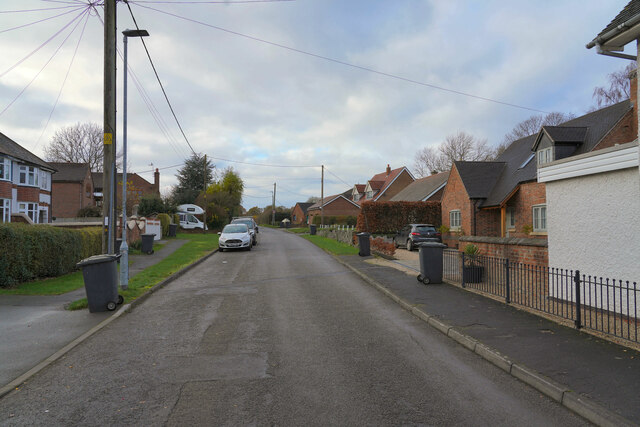
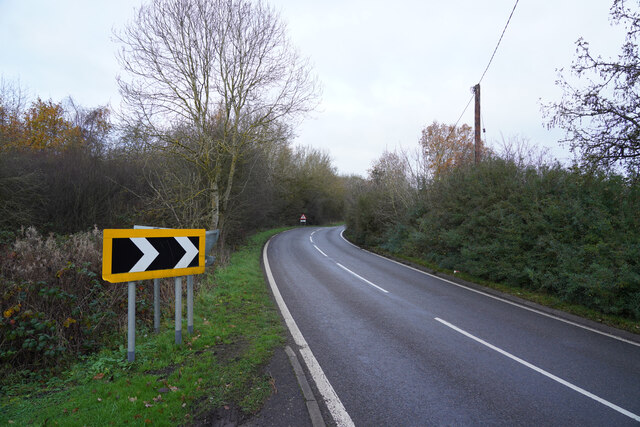
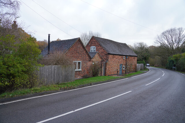
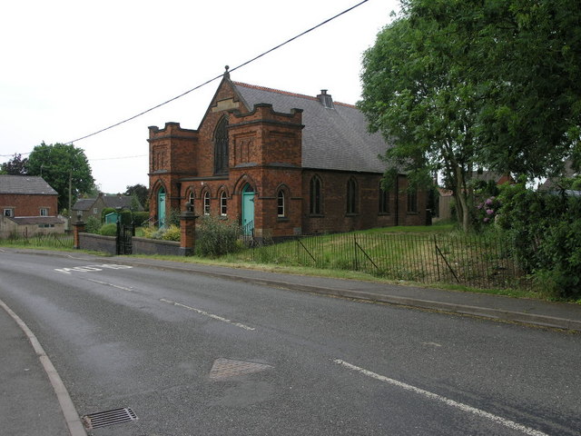
Birch Coppice Images

Images are sourced within 2km of 52.763934/-1.4199719 or Grid Reference SK3918. Thanks to Geograph Open Source API. All images are credited.

Worthington Lane Looking along Worthington Lane with rich farmland on both sides of the road.
Worthington Lane
Looking along Worthington Lane with rich farmland on both sides of the road.
Newbold Village It is obviously the day for collecting rubbish in this village as all the dustbins are out awaiting emptying.
Newbold Village
It is obviously the day for collecting rubbish in this village as all the dustbins are out awaiting emptying.
Houses in Griffydam Griffydam strikes me as a very unusual name, but presumably it has some local relevance. These are houses towards the edge of the village.
Houses in Griffydam
Griffydam strikes me as a very unusual name, but presumably it has some local relevance. These are houses towards the edge of the village.
A road junction Looking from Top Road towards the junction, the road to the left is Rempstone Road, but to the right it has changed name to Ashby Road and opposite Top Road becomes Top Brand.
A road junction
Looking from Top Road towards the junction, the road to the left is Rempstone Road, but to the right it has changed name to Ashby Road and opposite Top Road becomes Top Brand.
Ashby Road Another view of Newbold.
Ashby Road
Another view of Newbold.
Melbourne Road Approaching a bend with road works that are round the corner but not visible at this point, though the warning signs are out.
Melbourne Road
Approaching a bend with road works that are round the corner but not visible at this point, though the warning signs are out.
Old farm buildings Close to the Melbourne Road the farm house and other buildings is given the name Newbold Gate on most maps.
Old farm buildings
Close to the Melbourne Road the farm house and other buildings is given the name Newbold Gate on most maps.
Primitive Methodist Church This Methodists church in Coleorton has these two unusual towers at its west end rather than the more plain building front that we see.
Primitive Methodist Church
This Methodists church in Coleorton has these two unusual towers at its west end rather than the more plain building front that we see.
Inn Without a Railway It is some time since this inn saw the railway which ran just this side of it.  The 1940s OS map shows the railway as being disused.
Inn Without a Railway
It is some time since this inn saw the railway which ran just this side of it. The 1940s OS map shows the railway as being disused.
Footpath and Feeder This well marked footpath doesn't appear to be as well walked.
Footpath and Feeder
This well marked footpath doesn't appear to be as well walked.
Coleorton The Coleorton Methodist Church is visible in the distance.
Coleorton
The Coleorton Methodist Church is visible in the distance.
Former Railway The trees are on the embankment of a railway that was disused by the 1940's.
Former Railway
The trees are on the embankment of a railway that was disused by the 1940's.
Waggon and Horses
Waggon and Horses
Pipeyard Lane, Newbold A quiet lane leading from the peaceful village of Newbold to an industrial estate, once the site of the Newbold Pipe Works.
Pipeyard Lane, Newbold
A quiet lane leading from the peaceful village of Newbold to an industrial estate, once the site of the Newbold Pipe Works.
Farmland at Newbold Just off Worthington Lane and Pipeyard Lane this countryside falls away to the line of an old railway. The farm in the distance is in <a href="https://www.geograph.org.uk/gridref/SK3918">SK3918</a>.
Farmland at Newbold
Just off Worthington Lane and Pipeyard Lane this countryside falls away to the line of an old railway. The farm in the distance is in SK3918.
Farmland near Newbold To the east of Worthington Lane the fields are fairly flat. Where the land starts to drop away to a shallow valley the Ivanhoe Way Long Distance Footpath crosses from left to right. The village in the centre distance is Griffydam in <a href="https://www.geograph.org.uk/gridref/SK4118">SK4118</a>. The hill on the left is Vinegar Hill in <a href="https://www.geograph.org.uk/gridref/SK4119">SK4119</a>.
Farmland near Newbold
To the east of Worthington Lane the fields are fairly flat. Where the land starts to drop away to a shallow valley the Ivanhoe Way Long Distance Footpath crosses from left to right. The village in the centre distance is Griffydam in SK4118. The hill on the left is Vinegar Hill in SK4119.
Stardingdale Lane near Newbold This right of way leads from Worthington Lane to <a href="https://www.geograph.org.uk/photo/238931">SK3919 : A42 Bridge</a>. The industrial estate at the bottom of <a href="https://www.geograph.org.uk/photo/373276">SK4019 : Pipeyard Lane, Newbold</a> can be seen on the horizon. 
Until the demise of the National Coal Board and its associated industry, this area of Leicestershire was a hive of industrial activity. The deposits of clay in the area round Newbold provided materials for the local pipeyards, where good quality glazed pipeware was manufactured. The Newbold Brick Company started in the early 1930's, the tall chimney is marked on the OS 1:25000 OS map and is in the adjacent square. The deep, flooded claypit associated with this factory is amongst the trees at the end of Stardingdale Lane.
Stardingdale Lane near Newbold
This right of way leads from Worthington Lane to SK3919 : A42 Bridge. The industrial estate at the bottom of SK4019 : Pipeyard Lane, Newbold can be seen on the horizon. Until the demise of the National Coal Board and its associated industry, this area of Leicestershire was a hive of industrial activity. The deposits of clay in the area round Newbold provided materials for the local pipeyards, where good quality glazed pipeware was manufactured. The Newbold Brick Company started in the early 1930's, the tall chimney is marked on the OS 1:25000 OS map and is in the adjacent square. The deep, flooded claypit associated with this factory is amongst the trees at the end of Stardingdale Lane.
The Cross Keys, Newbold On Worthington Lane, the main street through Newbold,1900, lists William Crabtree as the Keeper of the Cross Keys Public House.
The Cross Keys, Newbold
On Worthington Lane, the main street through Newbold,1900, lists William Crabtree as the Keeper of the Cross Keys Public House.
Show me another place!

Birch Coppice is located at Grid Ref: SK3918 (Lat: 52.763934, Lng: -1.4199719)

Administrative County: Leicestershire

District: North West Leicestershire

Police Authority: Leicestershire

What 3 Words

///teaspoons.propelled.bachelor. Near Ashby de la Zouch, Leicestershire

Nearby Locations

Birch Coppice Rough Park

Related Wikis

New Lount

New Lount is a 21.3 hectares (53 acres) Local Nature Reserve north-east of Ashby-de-la-Zouch in Leicestershire. It is owned and managed by Leicestershire...

Lount Meadows

Lount Meadows is a 8.5 hectares (21 acres) biological Site of Special Scientific Interest south of Lount in Leicestershire, England.This slightly acidic...

Lount

Lount is a hamlet near Ashby de la Zouch in north-west Leicestershire, England. It has a population of 50 (approx). At the 2011 census the population...

Newbold Coleorton

Newbold otherwise Newbold Coleorton is a large hamlet in the parish of Worthington, Leicestershire, England. It is situated in the North West Leicestershire...

Gelsmoor

Gelsmoor is a hamlet within the parish of Worthington in the English county of Leicestershire. It is noted for having a 'petrifying spring' in a nineteenth...

A42 road (England)

The A42 is a major trunk road in the East Midlands region of the United Kingdom. It links junction 23A of the M1 motorway to junction 11 of the M42 motorway...

Coleorton

Coleorton ( kə-LOR-tən) is a village and civil parish in North West Leicestershire, England. It is situated on the A512 road approximately 2 miles (3...

North West Leicestershire (UK Parliament constituency)

North West Leicestershire is a constituency represented in the House of Commons of the UK Parliament since 2010 by Andrew Bridgen, originally a Conservative...

Have you been to Birch Coppice?

Leave your review of Birch Coppice below (or comments, questions and feedback).