Dolphin

Settlement in Flintshire

Wales

Dolphin

Old Shaft Bryn-Sannan
Old Shaft Bryn-Sannan Credit: Chris Andrews

Dolphin is a small town located in Flintshire, a county in northeast Wales, United Kingdom. Situated near the border with England, Dolphin is nestled in the beautiful countryside, surrounded by rolling hills and stunning natural landscapes.

The town itself is relatively small, with a population of around 1,500 residents. It is primarily a residential area, with a few local businesses and amenities catering to the community's needs. The town is known for its peaceful and friendly atmosphere, making it an ideal place for those seeking a quiet and tranquil lifestyle.

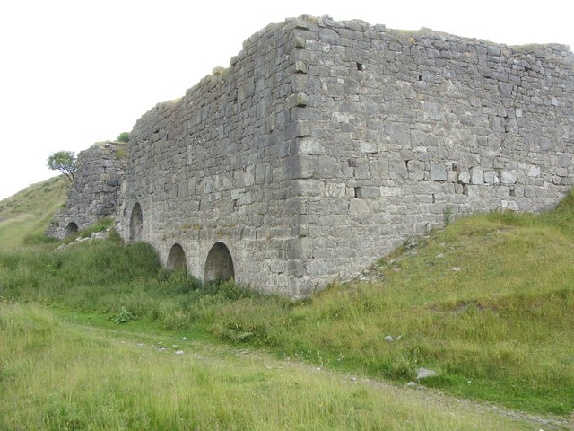
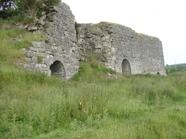
Despite its small size, Dolphin has a rich history that can be traced back to medieval times. It was once an important market town and a hub for the local agricultural industry. Today, remnants of its past can still be seen in the form of historic buildings and landmarks scattered throughout the town.

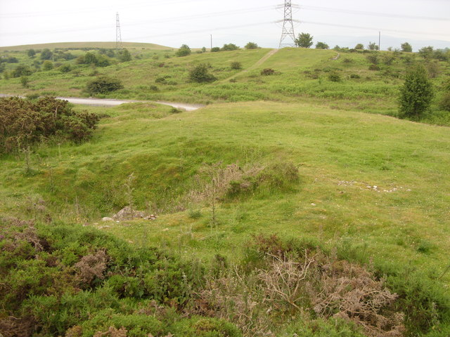
Surrounded by picturesque countryside, Dolphin offers plenty of opportunities for outdoor activities and exploration. The nearby River Dee is popular with anglers, and there are several walking and cycling trails in the area, allowing residents and visitors to immerse themselves in nature.

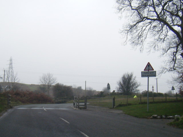
For those seeking a change of scenery, the larger town of Mold is just a short drive away, offering a wider range of amenities, including shops, restaurants, and leisure facilities. Additionally, Dolphin benefits from its proximity to major road networks, providing easy access to other parts of Flintshire and beyond.

In summary, Dolphin is a charming and peaceful town in Flintshire, offering a tranquil lifestyle amidst beautiful natural surroundings. Its rich history and proximity to larger towns make it an appealing place to live or visit for those seeking a close-knit community and a slower pace of life.

If you have any feedback on the listing, please let us know in the comments section below.
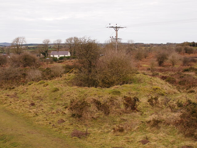
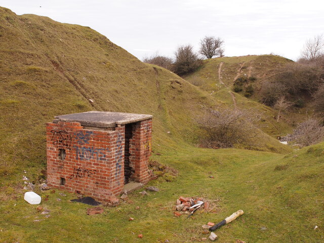
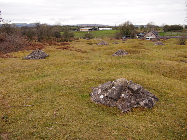
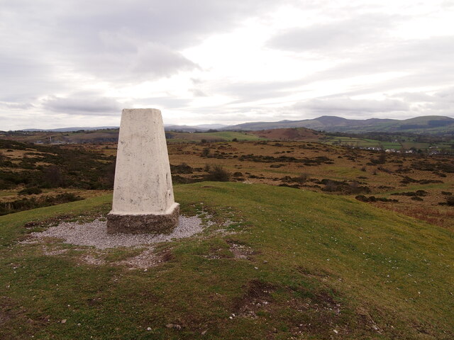
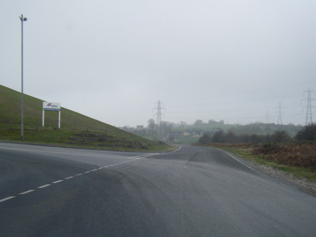
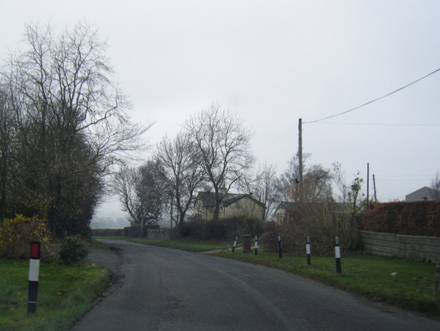
Dolphin Images

Images are sourced within 2km of 53.253565/-3.20553 or Grid Reference SJ1973. Thanks to Geograph Open Source API. All images are credited.

Old Shaft Bryn-Sannan
Disused Quarry Building, Pant y Pydew
Bryn Mawr Quarry
Bryn Mawr Quarry
Capped Shafts Near Waen-brodlas
Trig Point, Halkyn Mountain
The Disused Pen yr Henblas Quarry
Brynford cafe stop Cyclists on a Sunday morning ride prepare to leave the pet cemetery cafe where they'd stopped for morning coffee.
Brynford cafe stop
Cyclists on a Sunday morning ride prepare to leave the pet cemetery cafe where they'd stopped for morning coffee.
A55 eastbound near Milwr
Lead Mine shaft The hollow in the foreground is a run-in Lead Mine shaft. The flat grassed area behind it on the mound has a circular form indicating that there was a Horse Gin here, a horse-powered capstan for winding in the shaft. Although the wooden structure has long since gone the circular track the horse walked around is still visible. These show up well on aerial photographs.
Lead Mine shaft
The hollow in the foreground is a run-in Lead Mine shaft. The flat grassed area behind it on the mound has a circular form indicating that there was a Horse Gin here, a horse-powered capstan for winding in the shaft. Although the wooden structure has long since gone the circular track the horse walked around is still visible. These show up well on aerial photographs.
Limekilns at Pant y Pydew A massively built structure.
Limekilns at Pant y Pydew
A massively built structure.
Limekilns at Pant y Pydew
Cattle Grid on road to Babell
Quarry entrance near Pant-y-groes
Lane near Llwyn-y-cosyn Farm
Tafarn Glan-yr-Afon (Glan-yr-Afon Inn) Within earshot of the busy A55, but a world away.
Tafarn Glan-yr-Afon (Glan-yr-Afon Inn)
Within earshot of the busy A55, but a world away.
Derelict chapel, Dolphin Ebenezer Chapel dated 1841. Was for sale in 2014. Grade II listed <span class="nowrap"><a title="http://www.britishlistedbuildings.co.uk/wa-24444-ebenezer-chapel-brynford" rel="nofollow ugc noopener" href="http://www.britishlistedbuildings.co.uk/wa-24444-ebenezer-chapel-brynford">Link</a><img style="margin-left:2px;" alt="External link" title="External link - shift click to open in new window" src="https://s1.geograph.org.uk/img/external.png" width="10" height="10"/></span>
Derelict chapel, Dolphin
Ebenezer Chapel dated 1841. Was for sale in 2014. Grade II listed LinkExternal link
Henblas Derelict farmhouse on the slopes of Halkyn Mountain.
Henblas
Derelict farmhouse on the slopes of Halkyn Mountain.
Near Pen-y-Henblas Above the edge of the disused Pen-y-Henblas quarry, looking towards the active quarry of Bryn Mawr and the chicken farm at Waen-brodlas.
Near Pen-y-Henblas
Above the edge of the disused Pen-y-Henblas quarry, looking towards the active quarry of Bryn Mawr and the chicken farm at Waen-brodlas.
Show me another place!

Dolphin is located at Grid Ref: SJ1973 (Lat: 53.253565, Lng: -3.20553)

Unitary Authority: Flintshire

Police Authority: North Wales

What 3 Words

///betraying.jumpy.agents. Near Holywell, Flintshire

Nearby Locations

Dolphin

Related Wikis

Delyn (UK Parliament constituency)

Delyn is a constituency represented in the House of Commons of the UK Parliament since 2019 by Rob Roberts, who was elected as a Conservative, but currently...

Delyn (Senedd constituency)

Delyn is a constituency of the Senedd. It elects one Member of the Senedd by the first past the post method of election. Also, however, it is one of nine...

Pentre Halkyn

Pentre Halkyn (Welsh: Pentre Helygain) is a small village in Flintshire, Wales. It is situated approximately two miles from Holywell, and is off Junction...

Lluesty Hospital

Lluesty Hospital (Welsh: Ysbyty Lluesty) was a community hospital in Holywell, Flintshire, Wales. It was managed by the Betsi Cadwaladr University Health...

Nearby Amenities

Located within 500m of 53.253565,-3.20553
Parking
Parking: layby
Lat/Long: 53.2529685/-3.2079679
Phone
Emergency: phone
Lat/Long: 53.2530473/-3.208074
Fixme: continues
Lat/Long: 53.2543513/-3.2030383
Fixme: continues
Lat/Long: 53.2580082/-3.2065144
Power: pole
Lat/Long: 53.2507808/-3.2005849
Power: pole
Lat/Long: 53.2509709/-3.2037953
Power: pole
Lat/Long: 53.2515391/-3.2049545
Power: pole
Lat/Long: 53.2515198/-3.2056499
Power: pole
Lat/Long: 53.2513722/-3.2062447
Power: pole
Lat/Long: 53.2516836/-3.2072382
Power: pole
Lat/Long: 53.2523423/-3.2086166
Power: pole
Lat/Long: 53.2527047/-3.2091273
Power: pole
Lat/Long: 53.2534345/-3.210229
Power: pole
Lat/Long: 53.2538308/-3.2108643
Power: pole
Lat/Long: 53.2538571/-3.2124594
Dolphin
Place: hamlet
Lat/Long: 53.2561142/-3.209648
Power: pole
Lat/Long: 53.2547147/-3.2080023
Power: pole
Lat/Long: 53.2547342/-3.2088989
Power: pole
Lat/Long: 53.2547552/-3.2095668
Power: pole
Lat/Long: 53.2543697/-3.2126709
Power: pole
Lat/Long: 53.2541185/-3.2123202
Man Made: mineshaft
Lat/Long: 53.2547568/-3.2079202
Power: pole
Lat/Long: 53.253876/-3.2074756
Power: pole
Lat/Long: 53.2544751/-3.2067852
Direction: 145
Generator Method: photovoltaic
Generator Output Electricity: yes
Generator Solar Modules: 16
Generator Source: solar
Generator Type: solar_photovoltaic_panel
Location: roof
Power: generator
Lat/Long: 53.2543571/-3.2084799
The data included in this document is from www.openstreetmap.org. The data is made available under ODbL.

Have you been to Dolphin?

Leave your review of Dolphin below (or comments, questions and feedback).