Avenue Plantation

Wood, Forest in Yorkshire Hambleton

England

Avenue Plantation

Road between Thirsk Lodge and Woodhill Grange Looking along Newsham Road which runs north-west from Thirsk on a hot Sunday.
Road between Thirsk Lodge and Woodhill Grange Credit: DS Pugh

Avenue Plantation, Yorkshire, also known as Wood or Forest, is a picturesque area located in the northern region of England. This plantation covers a vast expanse of land and is renowned for its dense woodland and natural beauty. The area is characterized by towering trees, lush greenery, and a diverse range of flora and fauna.

The Avenue Plantation boasts a rich history that dates back several centuries. It has been carefully maintained and preserved over the years, making it a popular destination for nature enthusiasts, hikers, and photographers. The plantation is a haven for wildlife, providing a habitat for various species of birds, mammals, and insects.

Visitors to Avenue Plantation can explore numerous walking trails and paths that meander through the dense forest, offering breathtaking views of the surrounding landscape. The plantation is also home to a number of ancient trees, some of which are believed to be hundreds of years old. These majestic trees add to the overall charm and tranquility of the area.

In addition to its natural beauty, Avenue Plantation offers recreational activities such as picnicking, camping, and birdwatching. The peaceful ambiance and serene environment make it an ideal location for those seeking a break from the hustle and bustle of city life.

Overall, Avenue Plantation, Yorkshire, is a captivating destination that showcases the best of nature. Its stunning woodland, diverse wildlife, and recreational opportunities make it a must-visit location for nature lovers and outdoor enthusiasts alike.

If you have any feedback on the listing, please let us know in the comments section below.

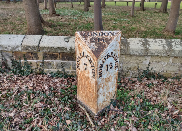
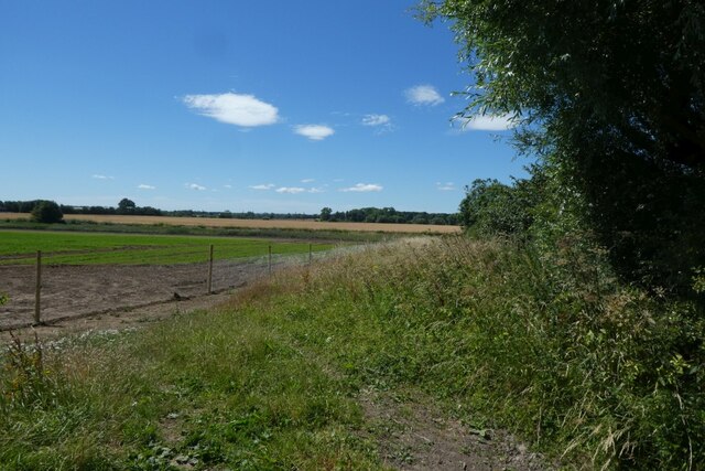
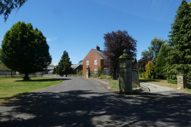
Avenue Plantation Images

Images are sourced within 2km of 54.250914/-1.4012512 or Grid Reference SE3984. Thanks to Geograph Open Source API. All images are credited.

Road between Thirsk Lodge and Woodhill Grange Looking along Newsham Road which runs north-west from Thirsk on a hot Sunday.
Road between Thirsk Lodge and Woodhill Grange
Looking along Newsham Road which runs north-west from Thirsk on a hot Sunday.
Fields near Thirsk Lodge Looking across a field between Thirsk Lodge and Woodhill Grange on a hot Sunday.
Fields near Thirsk Lodge
Looking across a field between Thirsk Lodge and Woodhill Grange on a hot Sunday.
Road passing Woodhill Field Looking along Newsham Road which runs north-west from Thirsk on a hot Sunday.
Road passing Woodhill Field
Looking along Newsham Road which runs north-west from Thirsk on a hot Sunday.
Woodhill Grange Woodhill Grange situated along Newsham Road which runs north-west from Thirsk on a hot Sunday.
Woodhill Grange
Woodhill Grange situated along Newsham Road which runs north-west from Thirsk on a hot Sunday.
Track to Crosslands Hill A farm track off Newsham Road.
Track to Crosslands Hill
A farm track off Newsham Road.
Newsham with Breckenbrough, estate parkland According to the OS benchmark database there was a cattle grid with a rivet benchmark in this location. Studying the lay of the land together with the tree layout it is easy to see where the field boundaries have been, and the cattle grid. Today no field boundaries, no cattle grid and no cattle.
Newsham with Breckenbrough, estate parkland
According to the OS benchmark database there was a cattle grid with a rivet benchmark in this location. Studying the lay of the land together with the tree layout it is easy to see where the field boundaries have been, and the cattle grid. Today no field boundaries, no cattle grid and no cattle.
Newsham with Breckenbrough, Thornton Stud According to the OS benchmark database there is a benchmark cut into the north-east face. Despite having all the time in the world and no inquisitive onlookers no cutmark was found. The bushes posed no problem for the search.
Newsham with Breckenbrough, Thornton Stud
According to the OS benchmark database there is a benchmark cut into the north-east face. Despite having all the time in the world and no inquisitive onlookers no cutmark was found. The bushes posed no problem for the search.
Newsham with Breckenbrough, Thornton Stud
Wheat field
Wheat field
Old milepost, Breckenborough There are 5 of this style of post remaining between Boroughbridge and Northallerton with 7 more north of the town.  It is unknown where they were cast.  The 52 mile Boroughbridge, Northallerton, Durham turnpike was first enacted in 1745 but these posts are probably late 19C and are only on the 20 miles of road in Yorkshire.  This post is set in a concrete plinth which is now covered in vegetation.
Milestone Society National ID: YN_NABB07
Old milepost, Breckenborough
There are 5 of this style of post remaining between Boroughbridge and Northallerton with 7 more north of the town. It is unknown where they were cast. The 52 mile Boroughbridge, Northallerton, Durham turnpike was first enacted in 1745 but these posts are probably late 19C and are only on the 20 miles of road in Yorkshire. This post is set in a concrete plinth which is now covered in vegetation. Milestone Society National ID: YN_NABB07
Road near Crosslands Hill Looking along Newsham Road which runs north-west from Thirsk on a hot Sunday.
Road near Crosslands Hill
Looking along Newsham Road which runs north-west from Thirsk on a hot Sunday.
Field beside Newsham Road The railway line crosses the far side of this field.
Field beside Newsham Road
The railway line crosses the far side of this field.
Gate beside a field Looking into a field beside Newsham Lane on a hot Sunday.
Gate beside a field
Looking into a field beside Newsham Lane on a hot Sunday.
Newsham Road south of Crosslands Hill Looking along Newsham Road which runs north-west from Thirsk on a hot Sunday.
Newsham Road south of Crosslands Hill
Looking along Newsham Road which runs north-west from Thirsk on a hot Sunday.
Road south of Crosslands Hill Looking along Newsham Road which runs north-west from Thirsk on a hot Sunday.
Road south of Crosslands Hill
Looking along Newsham Road which runs north-west from Thirsk on a hot Sunday.
Fields near Crosslands Hill Looking towards the railway over farmland from Newsham Road.
Fields near Crosslands Hill
Looking towards the railway over farmland from Newsham Road.
West Lodge Looking towards West Lodge at Thornton Stud from Newsham Road.
West Lodge
Looking towards West Lodge at Thornton Stud from Newsham Road.
Avenue Grange Looking towards Avenue Grange from Newsham Road on a hot Sunday.
Avenue Grange
Looking towards Avenue Grange from Newsham Road on a hot Sunday.
Show me another place!

Avenue Plantation is located at Grid Ref: SE3984 (Lat: 54.250914, Lng: -1.4012512)

Division: North Riding

Administrative County: North Yorkshire

District: Hambleton

Police Authority: North Yorkshire

What 3 Words

///specifies.shadows.jousting. Near Thirsk, North Yorkshire

Related Wikis

Newsham with Breckenbrough

Newsham with Breckenbrough is a civil parish in the Hambleton district of North Yorkshire, England and lies on the A167. The population of the parish at...

Breckenbrough School

Breckenbrough School is a private registered charitable trust school in Sandhutton, North Yorkshire, England. Breckenbrough School was founded in 1934...

St John the Baptist's Church, Kirby Wiske

St John the Baptist's Church, Kirby Wiske is a Grade II* listed parish church in the Church of England: 212  in Kirby Wiske, North Yorkshire. == History... ==

Kirby Wiske

Kirby Wiske is an English village and civil parish in the Hambleton District of North Yorkshire. It lies beside the River Wiske, about 4 miles (6.4 km...

Breckenbrough Hoard

The Breckenbrough Hoard is a hoard of gold and silver coins dating from 1644, during the English Civil War. It is in the collection of the Yorkshire Museum...

1892 Thirsk rail crash

The 1892 Thirsk rail crash happened at Manor House signal box on 2 November 1892, on the North Eastern Railway about 3 miles (4.8 km) north of Thirsk railway...

Sandhutton

Sandhutton is a small village and civil parish in Hambleton District of North Yorkshire, England. It lies about 3 miles (5 km) west of Thirsk on the A167...

River Wiske

The River Wiske is a tributary of the River Swale in Yorkshire, England. The Wiske gives its name to several villages it passes through. The name Wiske...

Nearby Amenities

Located within 500m of 54.250914,-1.4012512
Post Box
Fixme: RM 2013 data suggests this should be YO7 67
Operator: Royal Mail
Ref: YO7 65
Source: Survey
Lat/Long: 54.2547304/-1.3992094
Vicar’s Moor
Place: farm
Lat/Long: 54.251274/-1.4084163
Avenue Grange
Place: farm
Lat/Long: 54.2537592/-1.3986423
Generator Method: photovoltaic
Generator Orientation: 205
Generator Solar Modules: 16
Generator Source: solar
Generator Type: solar_photovoltaic_panel
Location: roof
Power: generator
Lat/Long: 54.253085/-1.3990402
Railway: signal
Railway Signal Direction: forward
Railway Signal Main: GB-NR:main
Railway Signal Main Design: individual
Railway Signal Main Form: light
Railway Signal Main Height: normal
Railway Signal Main States: red;green;yellow;flashing_yellow;double_yellow;flashing_double_yellow
Railway Signal Operator: Network Rail
Railway Signal Position: left
Lat/Long: 54.2488607/-1.3957699
Railway: signal
Railway Signal Direction: forward
Railway Signal Main: GB-NR:main
Railway Signal Main Design: individual
Railway Signal Main Form: light
Railway Signal Main Height: normal
Railway Signal Main States: red;green;yellow;flashing_yellow
Railway Signal Operator: Network Rail
Railway Signal Position: left
Lat/Long: 54.2488821/-1.3957114
The data included in this document is from www.openstreetmap.org. The data is made available under ODbL.

Have you been to Avenue Plantation?

Leave your review of Avenue Plantation below (or comments, questions and feedback).