Bagnell's Copse
Wood, Forest in Berkshire
England
Bagnell's Copse
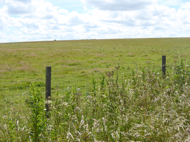
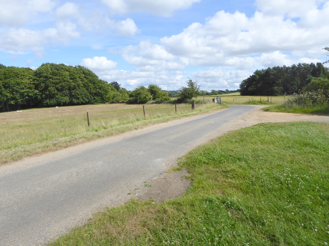
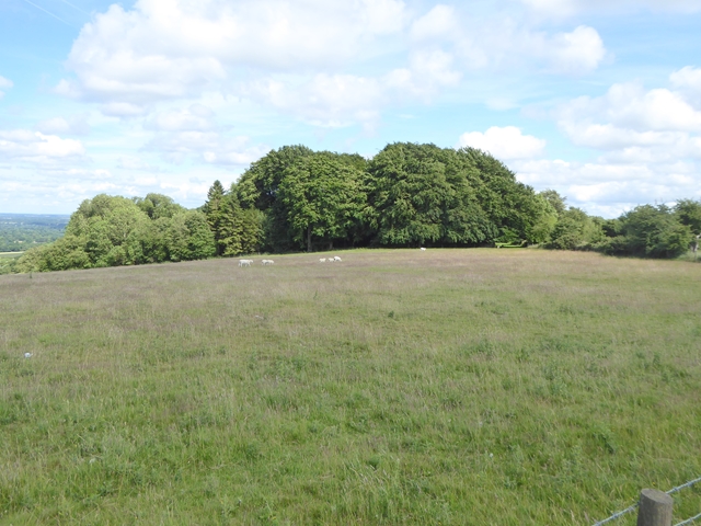
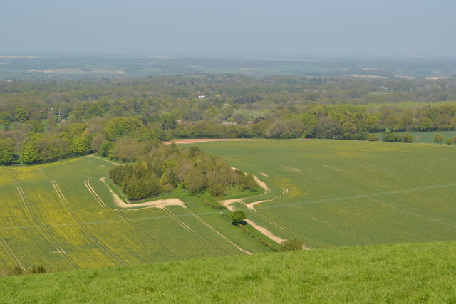
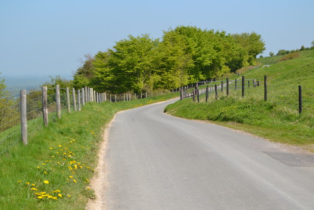
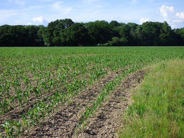
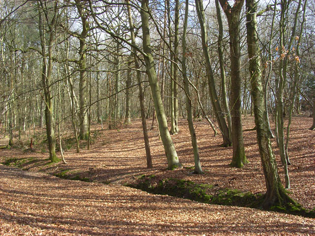
Bagnell's Copse is a picturesque woodland located in Berkshire, England. Situated in the southern part of the county, it covers an area of approximately 100 acres and is known for its natural beauty and tranquility.
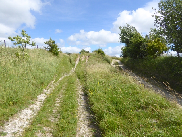
The copse is predominantly composed of native broadleaf trees, including oak, beech, and ash, which create a dense canopy that provides shade and shelter for a variety of wildlife. The forest floor is adorned with a rich carpet of wildflowers and ferns, adding to the copse's charm and biodiversity.
Visitors to Bagnell's Copse can explore a network of well-maintained footpaths that wind their way through the woodland, allowing them to immerse themselves in the peaceful surroundings. The copse is a popular destination for nature lovers, walkers, and photographers, who are often captivated by the enchanting atmosphere and scenic views.
Birdwatchers will delight in the copse's avian residents, with sightings of woodpeckers, nuthatches, and various species of songbirds being common. Small mammals such as squirrels, rabbits, and foxes can also be spotted darting through the undergrowth.
Bagnell's Copse is managed by the local authorities, who strive to maintain its ecological balance and protect its natural heritage. The copse is open to the public year-round, free of charge, and offers ample parking facilities. Whether for a leisurely stroll, a picnic amidst nature, or simply to enjoy a moment of solitude, Bagnell's Copse provides an idyllic retreat from the hustle and bustle of everyday life.
If you have any feedback on the listing, please let us know in the comments section below.
Bagnell's Copse Images
Images are sourced within 2km of 51.363192/-1.4425852 or Grid Reference SU3862. Thanks to Geograph Open Source API. All images are credited.


Bagnell's Copse is located at Grid Ref: SU3862 (Lat: 51.363192, Lng: -1.4425852)
Unitary Authority: West Berkshire
Police Authority: Thames Valley
What 3 Words
///slopes.harmlessly.chimp. Near Kintbury, Berkshire
Nearby Locations
Related Wikis
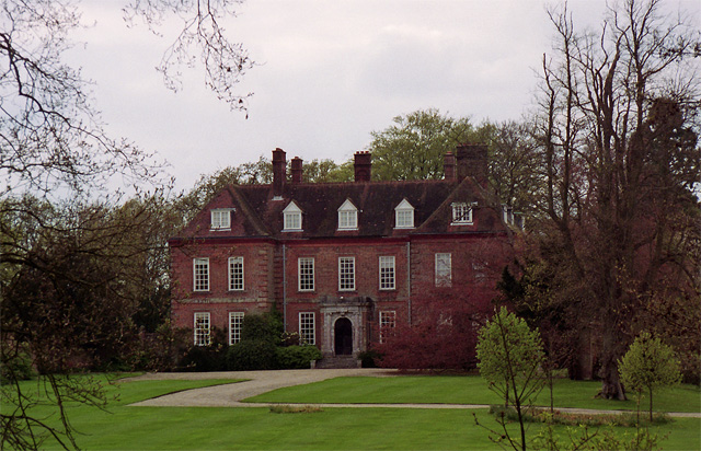
West Woodhay House
West Woodhay House is a Grade I listed building in the parish of West Woodhay, West Berkshire, UK. == History and description == The house was erected...
West Woodhay
West Woodhay () is a rural scattered village and civil parish in West Berkshire, England. At the 2011 census it had 59 households. == Geography == The...

West Woodhay Down
West Woodhay Down is a 1.5-hectare (3.7-acre) biological Site of Special Scientific Interest in Berkshire and Hampshire. It is lowland Calcareous grassland...

Hell Corner
Hell Corner is a hamlet in the civil parish of Inkpen in the English county of Berkshire. It is situated in the West Berkshire district, south of the River...
Inkpen Common SSSI
Inkpen Common or Inkpen Great Common is a 12.8-hectare (32-acre) biological Site of Special Scientific Interest east of Inkpen in Berkshire. It is managed...
Inkpen Common
Inkpen Common is a hamlet and former common in the English county of Berkshire, within the civil parish of Inkpen. The settlement lies south of the A4...

Walbury Hill
Walbury Hill is a summit of the North Wessex Downs in Berkshire, England. With an elevation of 297 metres (974 ft), it is the highest natural point in...

East Woodhay
East Woodhay is a village and civil parish in Hampshire, England. The village is approximately 5.5 miles (9 km) south-west of Newbury in Berkshire. At...
Nearby Amenities
Located within 500m of 51.363192,-1.4425852Have you been to Bagnell's Copse?
Leave your review of Bagnell's Copse below (or comments, questions and feedback).