Grasscroft Wood

Wood, Forest in Derbyshire Chesterfield

England

Grasscroft Wood

Old Whittington, St Bartholomew
Old Whittington, St Bartholomew Credit: Dave Kelly

The requested URL returned error: 429 Too Many Requests

If you have any feedback on the listing, please let us know in the comments section below.

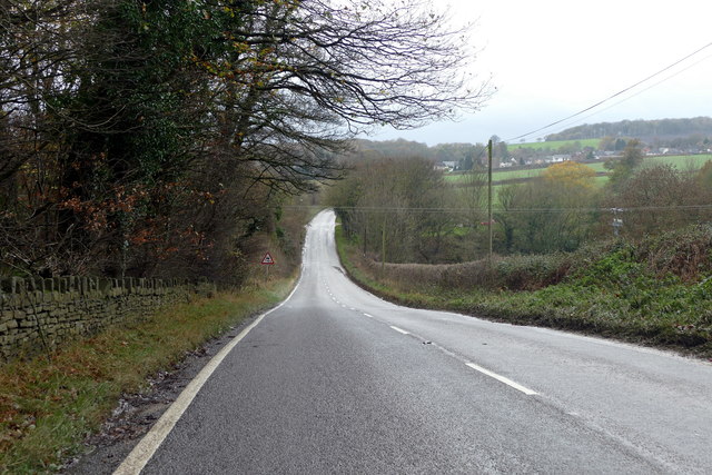
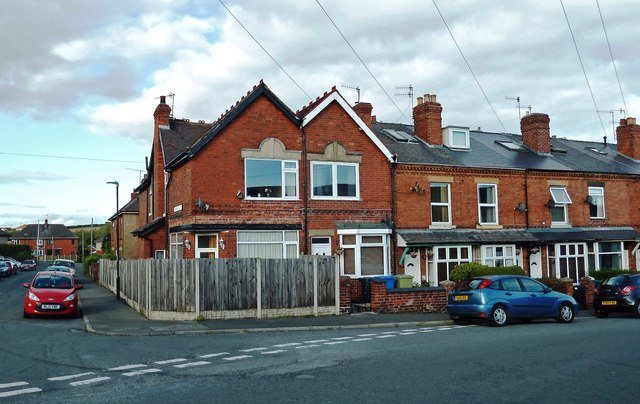
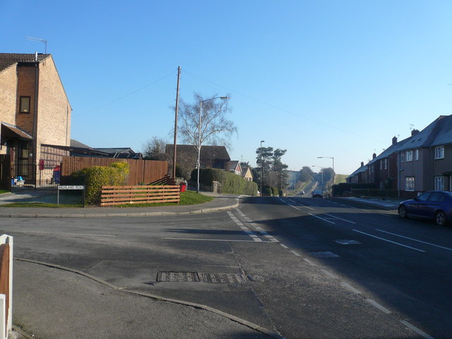
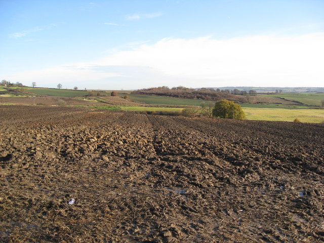
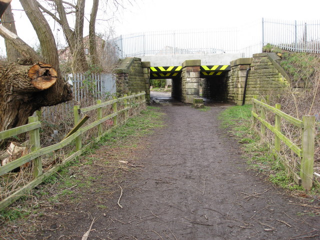
Grasscroft Wood Images

Images are sourced within 2km of 53.282706/-1.4184641 or Grid Reference SK3876. Thanks to Geograph Open Source API. All images are credited.

Old Whittington, St Bartholomew
Springwell Hill A minor road between Nether Handley and New Whittington
Springwell Hill
A minor road between Nether Handley and New Whittington
Railway line from Chesterfield to Rotherham This was once part of the main line of the Midland Railway but is now the preserve of freight and charters.  46233 Duchess of Sutherland takes water while hauling the York Yuletide Express from Ealing Broadway to York.
Railway line from Chesterfield to Rotherham
This was once part of the main line of the Midland Railway but is now the preserve of freight and charters. 46233 Duchess of Sutherland takes water while hauling the York Yuletide Express from Ealing Broadway to York.
Houses in New Whittington Viewed just inside the square.
Houses in New Whittington
Viewed just inside the square.
Middle Handley in NE Derbyshire.
B6052 Between Whittington and Eckington this section of the B6052 doesn't appear to have a recorded name.
B6052
Between Whittington and Eckington this section of the B6052 doesn't appear to have a recorded name.
Springwell Hill between New Whittington & Eckington.
Bridleway to Nether Handley The bridleway that runs off to the right was formerly the line of the road. The current road, to the left, removed a sharp 90 degree bend.
Bridleway to Nether Handley
The bridleway that runs off to the right was formerly the line of the road. The current road, to the left, removed a sharp 90 degree bend.
Whittington Road - View from junction with Highland Road
Parkgate Lane - View towards Parkgate Farm
Parkgate Lane - View across farmland
Parkgate Lane - View across farmland Houses at New Whittington can be seen in the distance.
Parkgate Lane - View across farmland
Houses at New Whittington can be seen in the distance.
Parkgate Lane - View across farmland Looking in the general direction of Glasshouse Common.
Parkgate Lane - View across farmland
Looking in the general direction of Glasshouse Common.
Parkgate Lane - Junction with Eckington Road (B6052)
New Whittington  - Footpath under the Railway
New Whittington - Footpath under the Railway
Devonshire Avenue North Looking north from below the crossing with Devonshire Road North. The road naming in this part of New Whittington is a bit mysterious. These two streets, together with the adjacent South Street North all imply that there is a 'South' version as well. However, none of the 'companion' streets exist, nor is there any obvious area where they could have been built.
Devonshire Avenue North
Looking north from below the crossing with Devonshire Road North. The road naming in this part of New Whittington is a bit mysterious. These two streets, together with the adjacent South Street North all imply that there is a 'South' version as well. However, none of the 'companion' streets exist, nor is there any obvious area where they could have been built.
Patterns in the crop Barley fields between West, Nether and Middle Handley, NE Derbyshire.
Patterns in the crop
Barley fields between West, Nether and Middle Handley, NE Derbyshire.
Steps on a path through Binkley Wood Near Nether Handley.
Steps on a path through Binkley Wood
Near Nether Handley.
Show me another place!

Grasscroft Wood is located at Grid Ref: SK3876 (Lat: 53.282706, Lng: -1.4184641)

Administrative County: Derbyshire

District: Chesterfield

Police Authority: Derbyshire

What 3 Words

///attend.tribe.salon. Near Chesterfield, Derbyshire

Related Wikis

Whittington Green School

Whittington Green School (formerly The Meadows Community School) is a mixed secondary school located in Old Whittington, Chesterfield in the English county...

New Whittington

New Whittington is a village located in the Borough of Chesterfield, in Derbyshire, England, near to Whittington Moor and Old Whittington. It is also to...

Hundall

Hundall is a hamlet in North East Derbyshire in the county of Derbyshire in England. == Location == West Handley lies just south of the village of Apperknowle...

Unstone

Unstone ( UN-stən) is a village and civil parish in the English county of Derbyshire, in the North East Derbyshire administrative district approximately...

Nearby Amenities

Located within 500m of 53.282706,-1.4184641
Barrier: stile
Lat/Long: 53.2819449/-1.4154331
Barrier: stile
Steps: 0
Stile: wall
Lat/Long: 53.2834616/-1.4185379
Ele: 194
Lat/Long: 53.2834321/-1.4231626
Ele: 198
Lat/Long: 53.2834141/-1.4212807
Ele: 174
Lat/Long: 53.2827681/-1.4144438
Ele: 173
Lat/Long: 53.2829509/-1.4141542
Barrier: stile
Lat/Long: 53.2795778/-1.4156696
Barrier: stile
Lat/Long: 53.2827815/-1.4145331
Bench
Backrest: yes
Lat/Long: 53.2819141/-1.4153973
The data included in this document is from www.openstreetmap.org. The data is made available under ODbL.

Have you been to Grasscroft Wood?

Leave your review of Grasscroft Wood below (or comments, questions and feedback).