Spring Wood

Wood, Forest in Yorkshire

England

Spring Wood

St Benedict's Catholic Primary School, Garforth On Station Fields.
St Benedict's Catholic Primary School, Garforth Credit: Stephen Craven

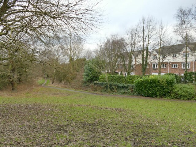
Spring Wood is a picturesque forest located in the county of Yorkshire, England. Covering an area of approximately 500 acres, it is a popular destination for nature lovers and outdoor enthusiasts. The wood is situated near the village of Huddersfield and is easily accessible by both car and public transport.

As its name suggests, Spring Wood comes alive during the spring season with a vibrant display of flora and fauna. The wood is predominantly filled with deciduous trees, including oak, beech, and birch, which provide a breathtaking canopy of greenery. Bluebells carpet the forest floor, creating a stunning blue hue that attracts visitors from far and wide.

The wood is home to a diverse range of wildlife, making it a haven for nature enthusiasts. Visitors may spot various bird species, such as woodpeckers and owls, as well as mammals like deer, foxes, and squirrels. The tranquil atmosphere of Spring Wood offers a peaceful retreat from the hustle and bustle of daily life.

There are several walking trails and pathways that crisscross through the wood, allowing visitors to explore its beauty at their own pace. These trails range in difficulty, catering to both casual strollers and experienced hikers. Along the way, visitors will come across charming picnic areas, perfect for enjoying a packed lunch amidst the natural surroundings.

Spring Wood truly showcases the beauty of Yorkshire's countryside, providing a serene and enchanting environment for all who venture into its depths. Whether it is to admire the stunning bluebells in spring or to simply escape into nature, this woodland offers a memorable experience for all who visit.

If you have any feedback on the listing, please let us know in the comments section below.

Spring Wood Images

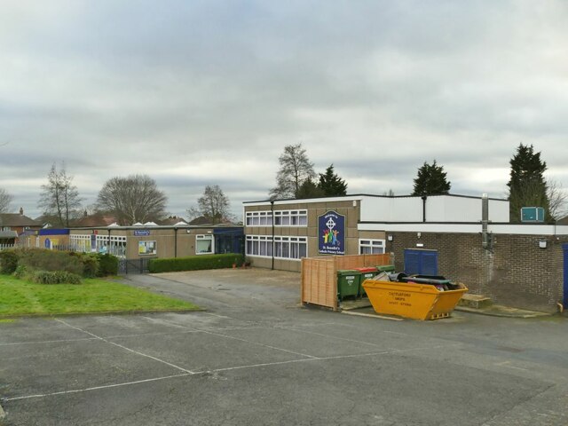
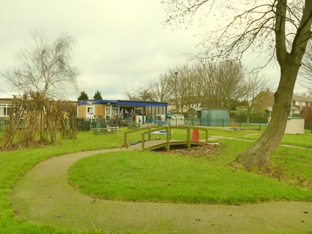
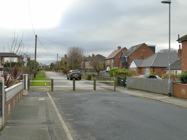
Images are sourced within 2km of 53.791801/-1.4121625 or Grid Reference SE3832. Thanks to Geograph Open Source API. All images are credited.

St Benedict's Catholic Primary School, Garforth On Station Fields.
St Benedict's Catholic Primary School, Garforth
On Station Fields.
St Benedict's Catholic Primary School, Garforth - garden Quite an attractive garden area for this suburban school.
St Benedict's Catholic Primary School, Garforth - garden
Quite an attractive garden area for this suburban school.
Barrier on Station Fields, Garforth This would have been a through road from Church Lane to the railway station, but this barrier now prevents through motor traffic while permitting pedestrians and cyclists to pass.
Barrier on Station Fields, Garforth
This would have been a through road from Church Lane to the railway station, but this barrier now prevents through motor traffic while permitting pedestrians and cyclists to pass.
Road bridge over the Lines Way The bridge takes the A63 Selby Road over the route of a former railway.
Road bridge over the Lines Way
The bridge takes the A63 Selby Road over the route of a former railway.
Positive graffiti (1) The messages here are more meaningful and affirming than most graffiti: "Peace on earth, good will to all persons"; "People not profits"; "You are loved, you are needed", and "Feliz Navidad" (is there a Hispanic community in Garforth?) For context, see <a href="https://www.geograph.org.uk/photo/7081277">SE4032 : Road bridge over the Lines Way</a>.
Positive graffiti (1)
The messages here are more meaningful and affirming than most graffiti: "Peace on earth, good will to all persons"; "People not profits"; "You are loved, you are needed", and "Feliz Navidad" (is there a Hispanic community in Garforth?) For context, see SE4032 : Road bridge over the Lines Way.
Positive graffiti (2) The messages here are more meaningful and (mostly) affirming than most graffiti: "Talk more, love more"; "Brexit = Suffering"; and "Buon Natale" (is there an Italian community in Garforth?) I guess "Low the Graff" is the nickname of the person or group responsible. For context, see <a href="https://www.geograph.org.uk/photo/7081277">SE4032 : Road bridge over the Lines Way</a>.
Positive graffiti (2)
The messages here are more meaningful and (mostly) affirming than most graffiti: "Talk more, love more"; "Brexit = Suffering"; and "Buon Natale" (is there an Italian community in Garforth?) I guess "Low the Graff" is the nickname of the person or group responsible. For context, see SE4032 : Road bridge over the Lines Way.
Power line along the Lines Way A four mile cycle route along a former North Eastern Railway route between Garforth and Kippax, East of Leeds.  Passenger services on the line ceased in 1951 and freight along this section of it in 1969.  It is now maintained as a nature reserve by the Yorkshire Wildlife Trust <span class="nowrap"><a title="https://www.ywt.org.uk/nature-reserves/lines-way" rel="nofollow ugc noopener" href="https://www.ywt.org.uk/nature-reserves/lines-way">Link</a><img style="margin-left:2px;" alt="External link" title="External link - shift click to open in new window" src="https://s1.geograph.org.uk/img/external.png" width="10" height="10"/></span>
Power line along the Lines Way
A four mile cycle route along a former North Eastern Railway route between Garforth and Kippax, East of Leeds. Passenger services on the line ceased in 1951 and freight along this section of it in 1969. It is now maintained as a nature reserve by the Yorkshire Wildlife Trust LinkExternal link
Footpath off the Lines Way This public footpath leads to Church Lane and the town centre.
Footpath off the Lines Way
This public footpath leads to Church Lane and the town centre.
Link to the Lines Way A short section of path linking Selby Road to the cycleway that passes beneath it <a href="https://www.geograph.org.uk/photo/7081277">SE4032 : Road bridge over the Lines Way</a>.
Link to the Lines Way
A short section of path linking Selby Road to the cycleway that passes beneath it SE4032 : Road bridge over the Lines Way.
Rear of Garforth Academy The secondary school <a href="https://www.geograph.org.uk/photo/7081402">SE4032 : Garforth Academy</a> was formerly called Garforth Community College.
Rear of Garforth Academy
The secondary school SE4032 : Garforth Academy was formerly called Garforth Community College.
Selby Road crossing the Lines Way For the former railway route that now passes beneath the A63 here, see <a href="https://www.geograph.org.uk/photo/7081277">SE4032 : Road bridge over the Lines Way</a>.  Since an earlier photo in 2012 <a href="https://www.geograph.org.uk/photo/2754932">SE4032 : A63 towards Selby</a> warning signs of a sharp bend and possible queuing traffic have been added.
Selby Road crossing the Lines Way
For the former railway route that now passes beneath the A63 here, see SE4032 : Road bridge over the Lines Way. Since an earlier photo in 2012 SE4032 : A63 towards Selby warning signs of a sharp bend and possible queuing traffic have been added.
Leyland House, Selby Road, Garforth According to one local history website <span class="nowrap"><a title="https://www.ianatkinson.net/garforth/photos/selby-road.htm" rel="nofollow ugc noopener" href="https://www.ianatkinson.net/garforth/photos/selby-road.htm">Link</a><img style="margin-left:2px;" alt="External link" title="External link - shift click to open in new window" src="https://s1.geograph.org.uk/img/external.png" width="10" height="10"/></span> , the original 17th century house on this site was called Hawkshaw House, after Fletcher Samuel Hawkshaw, and was a private school in the 19th century, later renamed Leyland House and eventually being demolished in 2006. If the building shown here is a modern (post 2006) replacement, then it's certainly in a traditional style. An agent's website describes it as "a prestigious five-bedroom property customised to a high specification internally ... with extensive grounds, stables and gardens."
Leyland House, Selby Road, Garforth
According to one local history website LinkExternal link , the original 17th century house on this site was called Hawkshaw House, after Fletcher Samuel Hawkshaw, and was a private school in the 19th century, later renamed Leyland House and eventually being demolished in 2006. If the building shown here is a modern (post 2006) replacement, then it's certainly in a traditional style. An agent's website describes it as "a prestigious five-bedroom property customised to a high specification internally ... with extensive grounds, stables and gardens."
Westbourne House, Selby Road, Garforth Currently occupied by a firm of solicitors; road widening has claimed most of the original front garden.
Westbourne House, Selby Road, Garforth
Currently occupied by a firm of solicitors; road widening has claimed most of the original front garden.
Garforth Academy Formerly Garforth Community College, now part of the Delta Academy Trust
Garforth Academy
Formerly Garforth Community College, now part of the Delta Academy Trust
Zebra crossing on Lidgett Lane Near the Garforth Academy <a href="https://www.geograph.org.uk/photo/7081402">SE4032 : Garforth Academy</a>.
Zebra crossing on Lidgett Lane
Near the Garforth Academy SE4032 : Garforth Academy.
Strawberry Fields Primary School, Garforth
Garforth Police Station, Lidgett Lane
64 Lidgett Lane The house bears a date of 1999 but is traditional in style.
64 Lidgett Lane
The house bears a date of 1999 but is traditional in style.
Show me another place!

Spring Wood is located at Grid Ref: SE3832 (Lat: 53.791801, Lng: -1.4121625)

Division: West Riding

Unitary Authority: Leeds

Police Authority: West Yorkshire

What 3 Words

///jammy.confronts.skill. Near Garforth, West Yorkshire

Related Wikis

Brown Moor

Brown Moor is an area in the metropolitan borough of the City of Leeds in West Yorkshire, England, east of Austhorpe and north of Colton. The M1 motorway...

Thorpe Park Leeds

Thorpe Park Leeds or simply Thorpe Park is a business park located near Brown Moor, Leeds, West Yorkshire, England. Companies that are headquartered in...

Garforth Academy

Garforth Academy (formerly known as Garforth Comprehensive School until September 1992 and Garforth Community College until November 2010) is a secondary...

Garforth

Garforth () is a town in the metropolitan borough of the City of Leeds, West Yorkshire, England. It sits in the Garforth and Swillington ward of Leeds...

Nearby Amenities

Located within 500m of 53.791801,-1.4121625
Odbl: clean
Lat/Long: 53.7880331/-1.4125894
Bus Stop
Selby Road Waterloo Manor
Bus: yes
Local Ref: 45011312
Naptan AtcoCode: 450011312
Naptan Bearing: E
Naptan CommonName: Selby Road Waterloo Manor
Naptan Crossing: Brookfield House
Naptan Indicator: Stop 45011312
Naptan Landmark: Waterloo Manor Hospital
Naptan PlusbusZoneRef: LEEDS
Naptan ShortCommonName: Hawthorn Terrace
Naptan Street: Selby Road
Naptan Verified: no
Network: Metro West Yorkshire
Network Wikidata: Q7987043
Public Transport: platform
Source: naptan_import
Lat/Long: 53.7876121/-1.4099797
Mini Roundabout
Lat/Long: 53.7901449/-1.4151426
Noexit: yes
Lat/Long: 53.7903842/-1.4191643
Crossing
Crossing: uncontrolled
Tactile Paving: yes
Lat/Long: 53.7889686/-1.4157515
Noexit: yes
Lat/Long: 53.789382/-1.4159592
Noexit: yes
Lat/Long: 53.7902282/-1.4165922
Noexit: yes
Lat/Long: 53.7900665/-1.4166727
Noexit: yes
Lat/Long: 53.789879/-1.4158507
Noexit: yes
Lat/Long: 53.7898954/-1.41678
Design: h-frame
Material: wood
Power: tower
Lat/Long: 53.7924728/-1.4150908
Design: h-frame
Material: wood
Power: tower
Lat/Long: 53.7946434/-1.4180519
Design: h-frame
Material: wood
Power: tower
Lat/Long: 53.7905637/-1.4125172
Design: h-frame
Material: wood
Power: tower
Lat/Long: 53.7914809/-1.4137765
Design: h-frame
Material: wood
Power: tower
Lat/Long: 53.7884848/-1.4129625
Design: h-frame
Material: wood
Power: tower
Lat/Long: 53.7893767/-1.4127626
Design: h-frame
Material: wood
Power: tower
Lat/Long: 53.7935153/-1.4165982
Crossing
Crossing: uncontrolled
Tactile Paving: yes
Lat/Long: 53.7890068/-1.4159068
Crossing
Crossing: unmarked
Lat/Long: 53.788968/-1.4177448
Tourism: information
Lat/Long: 53.7888141/-1.4177595
Waste Basket
Lat/Long: 53.788785/-1.4177757
Ormesby House
Place: locality
Lat/Long: 53.7905912/-1.419482
Swillington Common
Place: hamlet
Lat/Long: 53.7893448/-1.4181827
Noexit: yes
Lat/Long: 53.7897118/-1.4157146
Noexit: yes
Lat/Long: 53.7903034/-1.4153865
Noexit: yes
Lat/Long: 53.7905639/-1.4163936
Noexit: yes
Lat/Long: 53.7903861/-1.4165312
Selby Road Waterloo Manor
Bus: yes
Local Ref: 45011312
Public Transport: stop_position
Lat/Long: 53.7875666/-1.4099456
The data included in this document is from www.openstreetmap.org. The data is made available under ODbL.

Have you been to Spring Wood?

Leave your review of Spring Wood below (or comments, questions and feedback).