Parson's Wood
Wood, Forest in Derbyshire North East Derbyshire
England
Parson's Wood
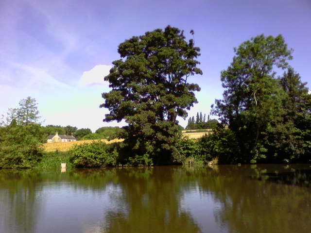
Parson's Wood is a picturesque forest located in Derbyshire, England. Covering an area of approximately 500 acres, it is a popular destination for nature enthusiasts and outdoor adventurers. The woodland is situated on the outskirts of the village of Parson's Green, and it is easily accessible by both car and foot.
The wood is predominantly composed of native broadleaf trees, including oak, beech, and birch. These trees create a dense canopy that provides ample shade during the summer months. In addition to the diverse tree species, Parson's Wood is also home to a variety of wildlife, including deer, rabbits, and a wide range of bird species.
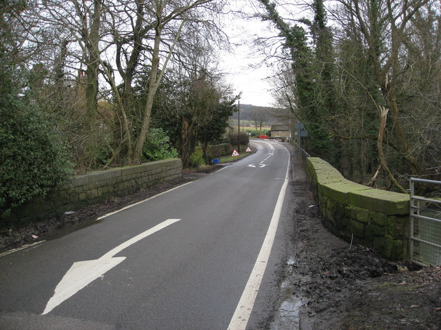
There are several walking trails that wind their way through the forest, ranging in length and difficulty to accommodate visitors of all fitness levels. These well-maintained paths offer stunning views of the surrounding countryside and provide opportunities for birdwatching and photography.
Parson's Wood is also a popular spot for picnicking and family outings. There are designated areas with picnic tables and benches where visitors can relax and enjoy a meal amidst the tranquil surroundings. Additionally, there are several open spaces within the wood where children can play and explore.
Overall, Parson's Wood offers a peaceful escape from the hustle and bustle of daily life. Its natural beauty and diverse ecosystem make it a must-visit destination for anyone seeking a connection with nature in the heart of Derbyshire.
If you have any feedback on the listing, please let us know in the comments section below.
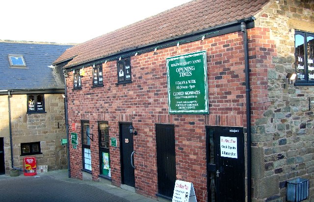
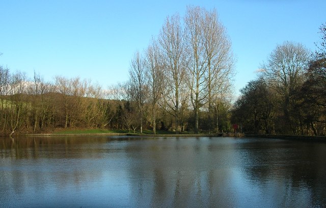
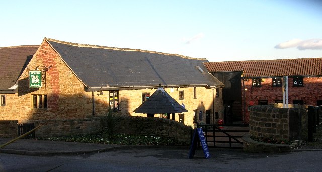
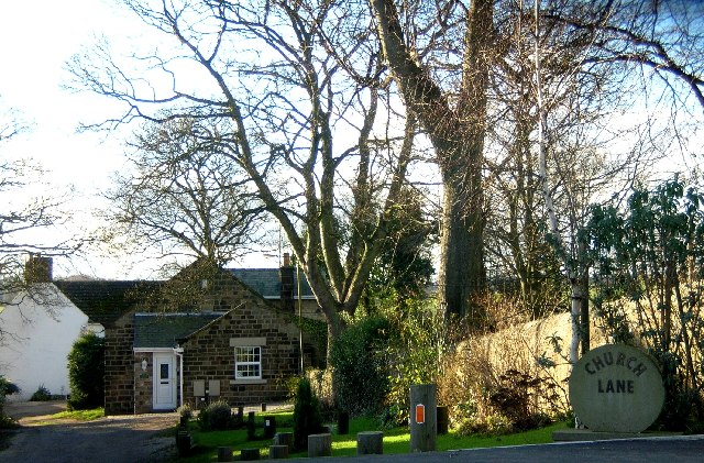
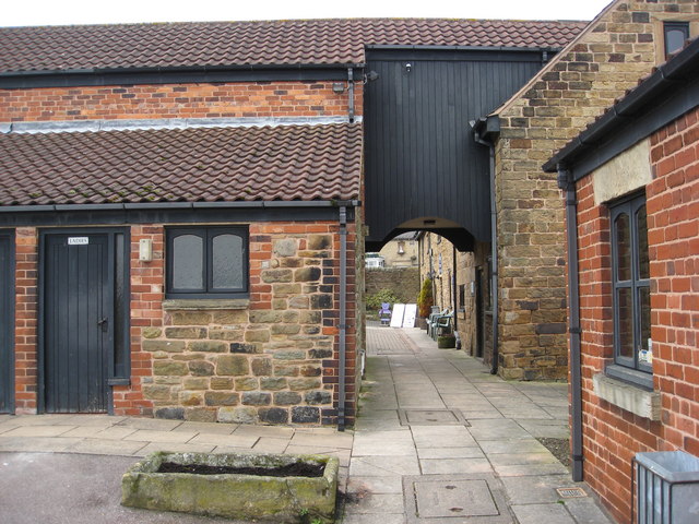
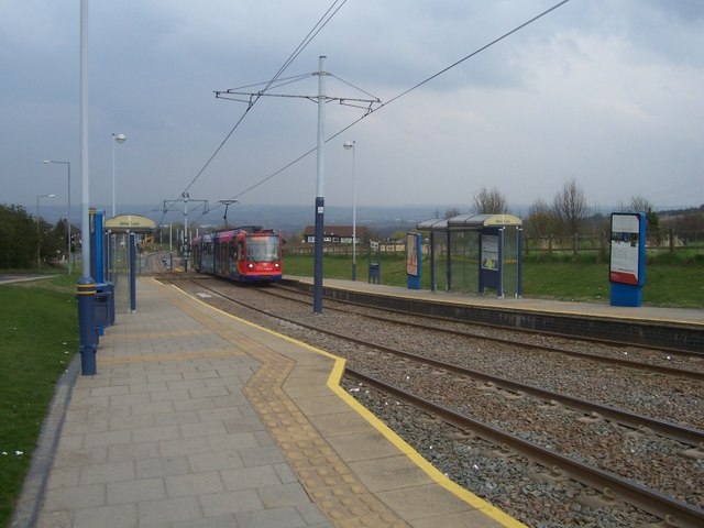
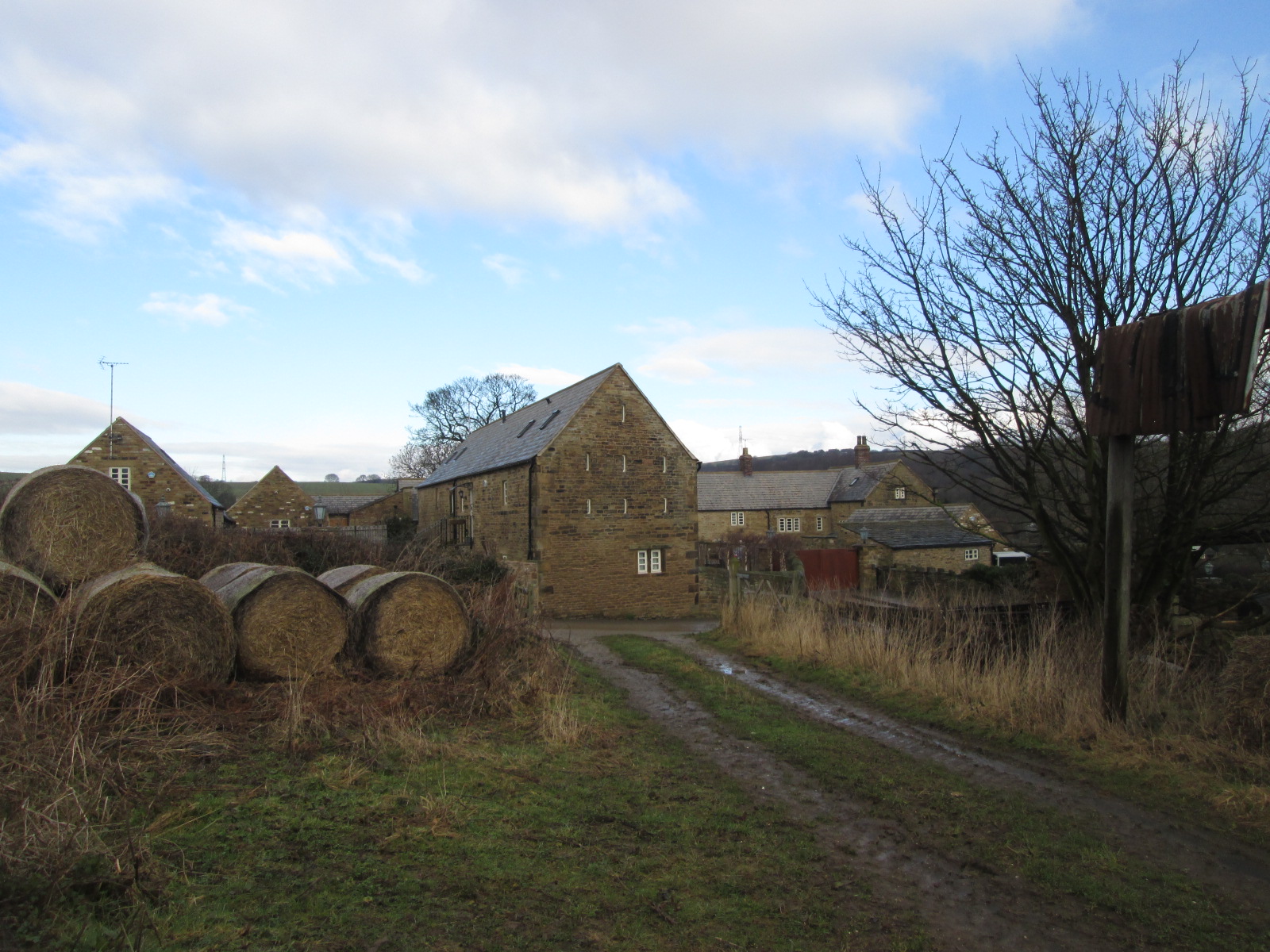
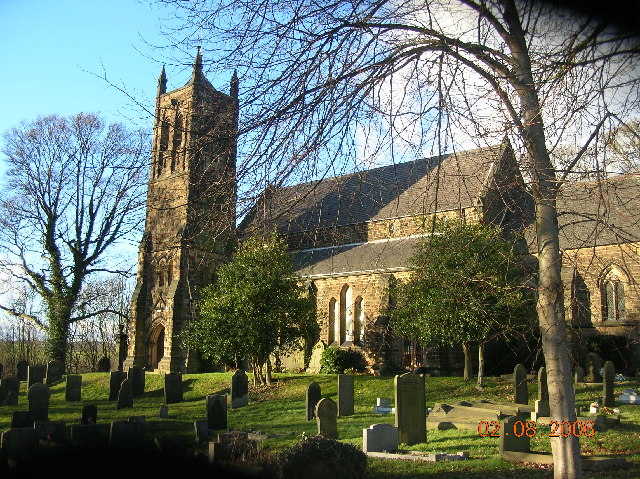
Parson's Wood Images
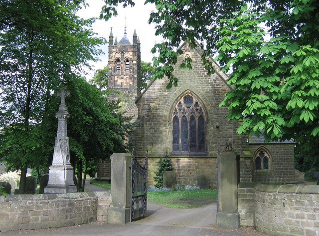
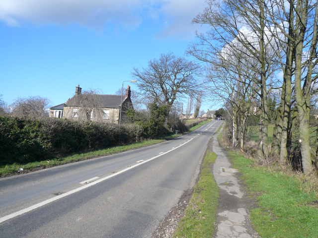
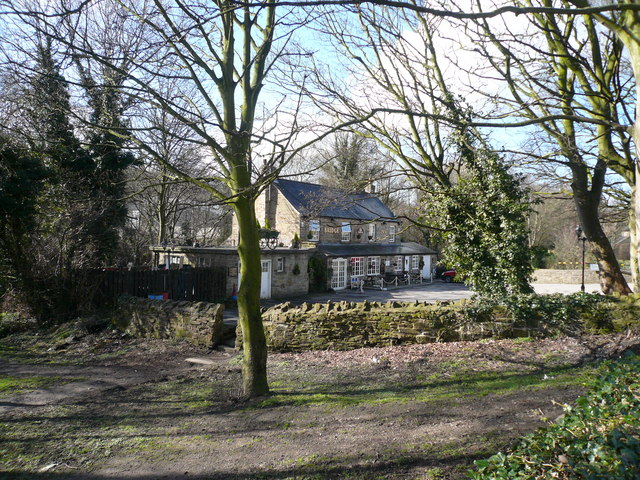
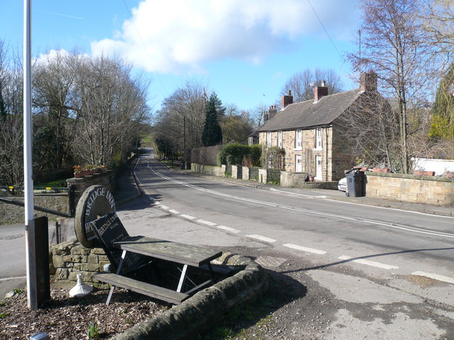
Images are sourced within 2km of 53.32868/-1.421443 or Grid Reference SK3881. Thanks to Geograph Open Source API. All images are credited.


Parson's Wood is located at Grid Ref: SK3881 (Lat: 53.32868, Lng: -1.421443)
Administrative County: Derbyshire
District: North East Derbyshire
Police Authority: Derbyshire
What 3 Words
///sits.audio.slices. Near Dronfield, Derbyshire
Nearby Locations
Related Wikis
Litfield Farm
Litfield Farm is a farm in Ridgeway, Derbyshire. The farm was once regarded as being located in a hamlet east of Ridgeway known as Litfield, but is now...

Geerlane
Geerlane is a hamlet in North East Derbyshire, England.The hamlet is located in Moss Valley, by the side of The Moss. It has a farm, called Geerlane Farm...
Robin Brook (river)
The Robin Brook is a small stream originating in the south eastern part of the City of Sheffield in South Yorkshire, England. The source of the stream...
The Old Vicarage, Derbyshire
The Old Vicarage is a restaurant located in Ridgeway, near Sheffield. The restaurant held one star in the Michelin Guide from 1998 to 2015. The head chef...
RAF Norton
Royal Air Force Norton (or RAF Norton), was a non-flying RAF station on the southern edge of Sheffield in Yorkshire, England. The base had two distinct...
Birley Hay
Birley Hay is a hamlet in North East Derbyshire in the county of Derbyshire in England. == Location == Birley Hay lies just south of the South Yorkshire...
Ridgeway, Derbyshire
Ridgeway is a village in Eckington parish, North East Derbyshire in the English county of Derbyshire. == Location == Ridgeway lies just south of the South...
Ford, Derbyshire
Ford is a hamlet in North East Derbyshire in the county of Derbyshire in England. == Location == Ford lies just south of the South Yorkshire border, around...
Nearby Amenities
Located within 500m of 53.32868,-1.421443Have you been to Parson's Wood?
Leave your review of Parson's Wood below (or comments, questions and feedback).