Whinmoor Nook Wood
Wood, Forest in Yorkshire
England
Whinmoor Nook Wood
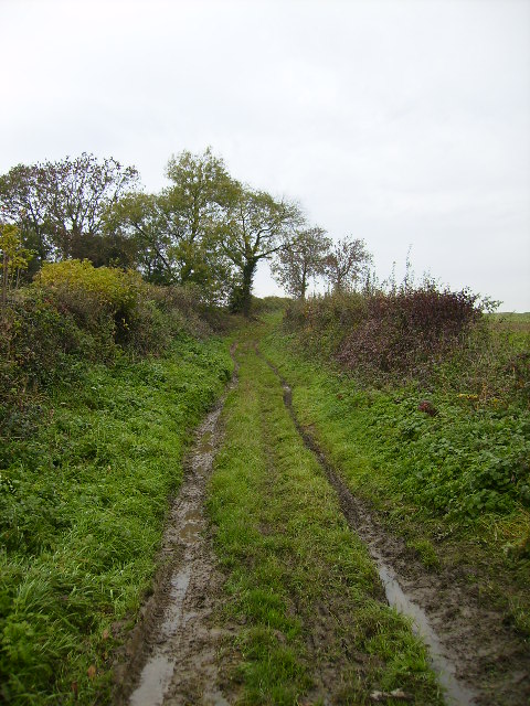
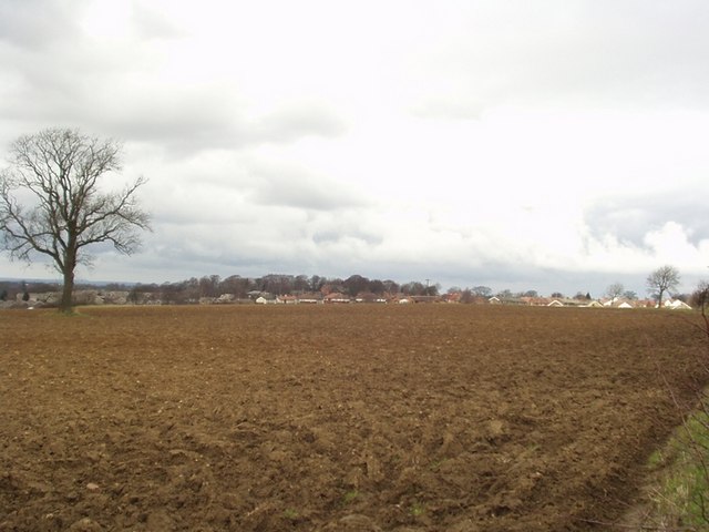
Whinmoor Nook Wood is a picturesque woodland located in the county of Yorkshire, England. Spread across an area of approximately 50 square kilometers, it is regarded as one of the most prominent woodlands in the region. The wood is situated in the northeastern part of Yorkshire, near the village of Whinmoor.
This ancient woodland boasts a diverse range of flora and fauna, making it a haven for nature enthusiasts and wildlife lovers. The wood is primarily composed of broadleaf trees such as oak, beech, and birch, which provide a lush, green canopy during the summer months. Additionally, the forest floor is covered with a variety of wildflowers, adding a burst of color to the surroundings.
Whinmoor Nook Wood is home to numerous species of wildlife. Visitors may spot native mammals such as deer, rabbits, and foxes, as well as a variety of bird species including woodpeckers, owls, and thrushes. The woodland also supports a range of smaller creatures like squirrels, hedgehogs, and butterflies.
The wood offers several walking trails and paths, allowing visitors to explore its beauty at their own pace. The serene atmosphere and tranquil surroundings make it an ideal destination for those seeking relaxation and a connection with nature. Additionally, the wood provides a habitat for several rare plant species, making it an important site for conservation efforts.
Whinmoor Nook Wood is a beloved natural treasure in Yorkshire, attracting visitors from near and far who seek to immerse themselves in its enchanting beauty and experience the wonders of a truly ancient woodland.
If you have any feedback on the listing, please let us know in the comments section below.
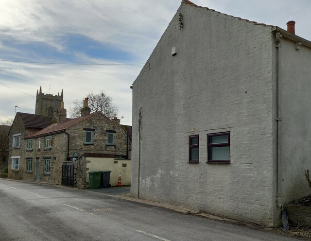
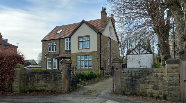
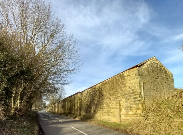
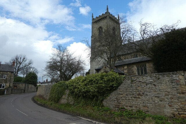
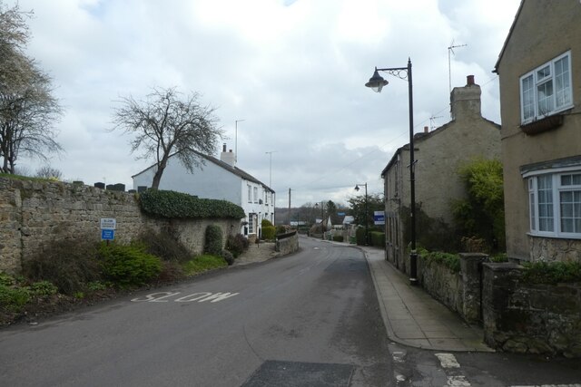
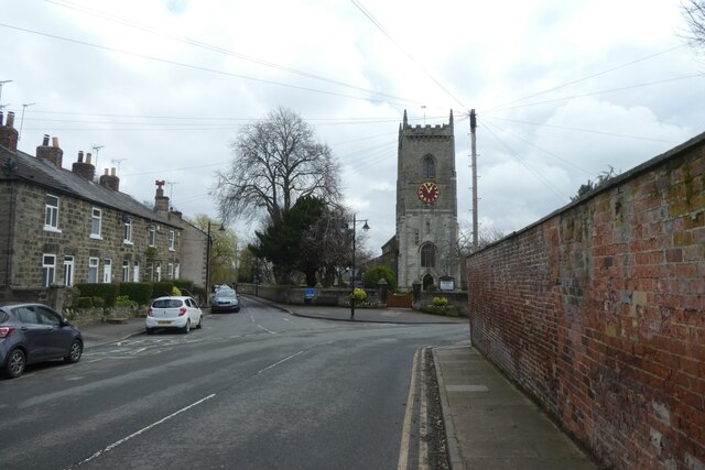
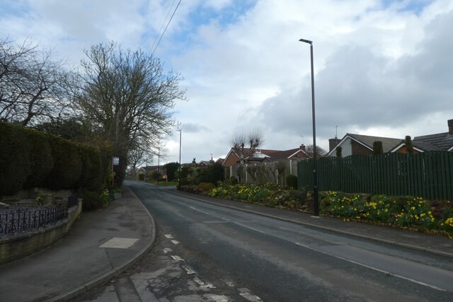
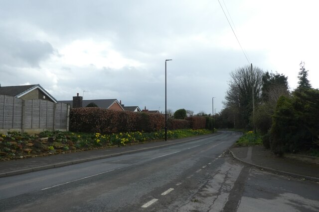
Whinmoor Nook Wood Images
Images are sourced within 2km of 53.836898/-1.4166677 or Grid Reference SE3838. Thanks to Geograph Open Source API. All images are credited.


Whinmoor Nook Wood is located at Grid Ref: SE3838 (Lat: 53.836898, Lng: -1.4166677)
Division: West Riding
Unitary Authority: Leeds
Police Authority: West Yorkshire
What 3 Words
///tennis.breakaway.pastime. Near Scholes, West Yorkshire
Nearby Locations
Related Wikis

Arthursdale
Arthursdale is an area within the village of Scholes in West Yorkshire, England. It is a small area immediately to the north of Rakehill Road in Scholes...

Scholes railway station
Scholes railway station was a station in Scholes, Leeds, West Yorkshire, England, on the Cross Gates–Wetherby line. It opened on 1 May 1876 and closed...
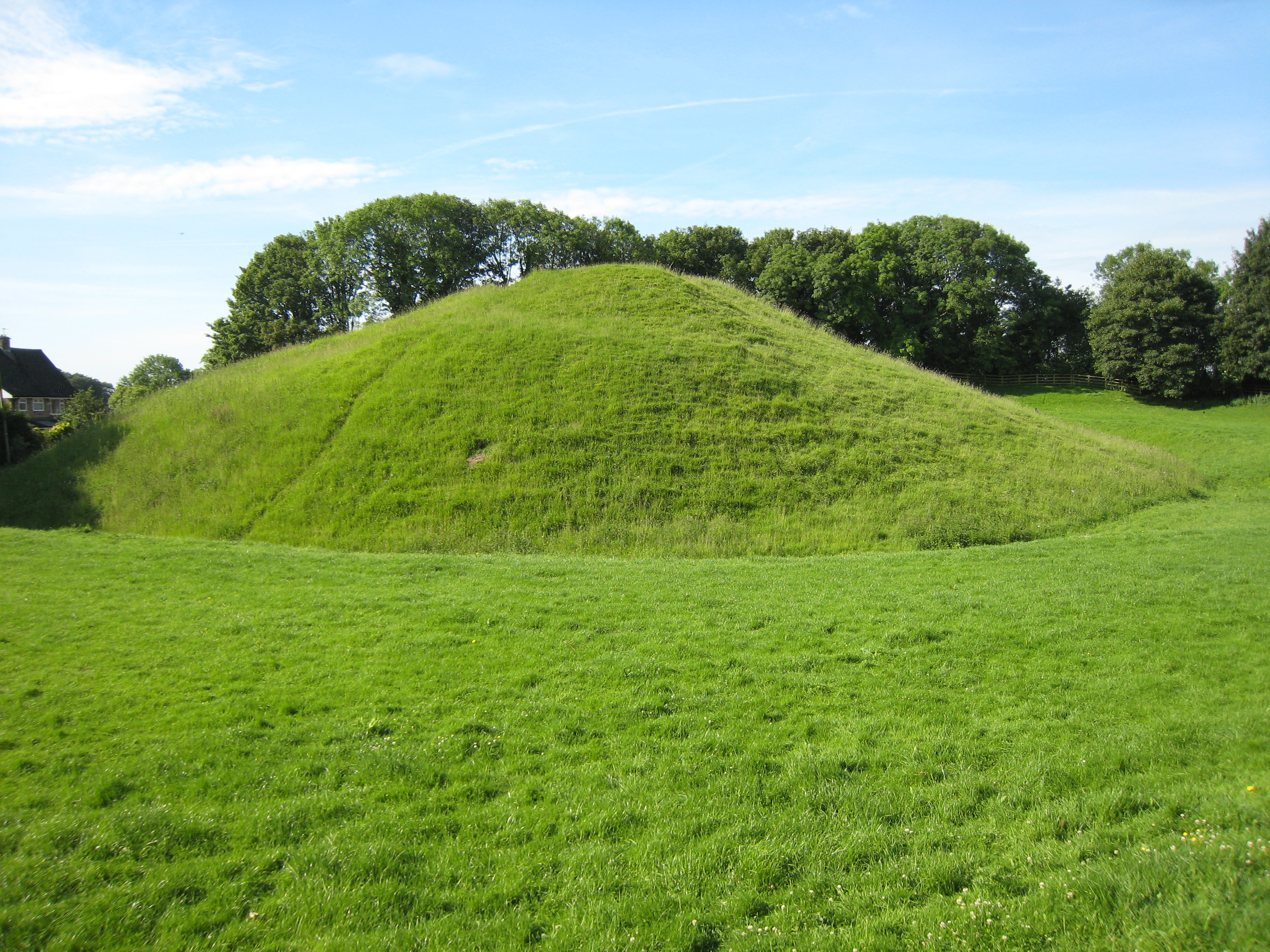
Barwick-in-Elmet Castle
Barwick-in-Elmet Castle was a fortification in the village of Barwick-in-Elmet, West Yorkshire, England to the east of Leeds (grid reference SE398375)...

Scholes, Leeds
Scholes-in-Elmet is a village in Leeds, West Yorkshire, England. Its name is a plural of Old Norse skáli meaning "temporary shed". It is sometimes known...
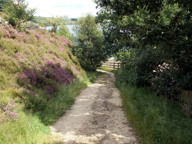
Kirklees Way
The Kirklees Way is a 72-mile (115 km) waymarked footpath in Kirklees metropolitan district, West Yorkshire, England. It was opened in 1990 and includes...

Barwick-in-Elmet
Barwick-in-Elmet (pronounced Barrick-in-Elmet) is a village in West Yorkshire, 7 miles (11 km) east of Leeds city centre. It is one of only three places...

Barwick in Elmet and Scholes
Barwick in Elmet and Scholes is a civil parish in the City of Leeds metropolitan borough in West Yorkshire, England. According to the 2001 census it had...
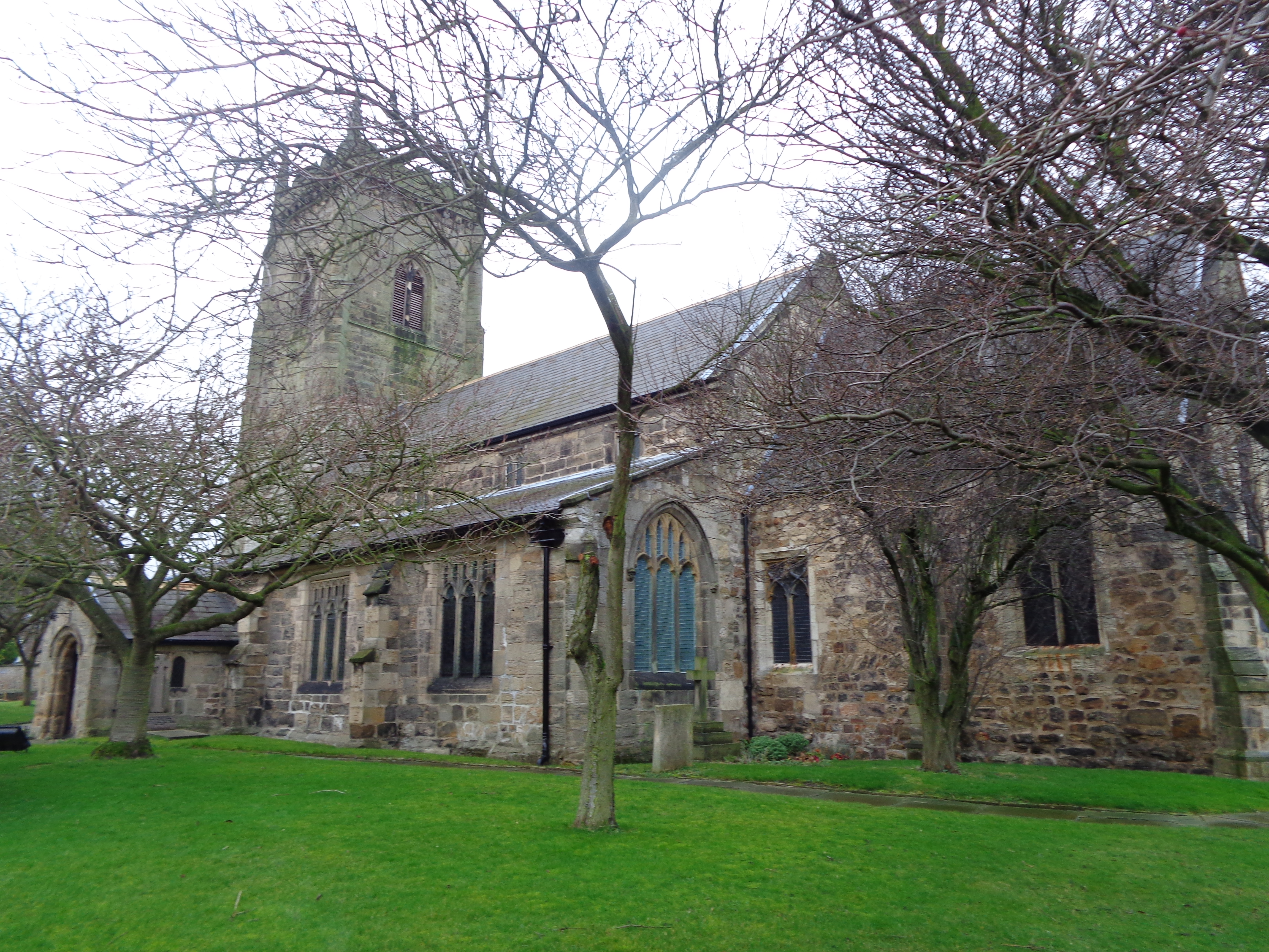
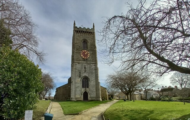
All Saints' Church, Barwick-in-Elmet
All Saints' Church in Barwick-in-Elmet, West Yorkshire, England is an active Anglican parish church in the archdeaconry of Leeds and the Diocese of Leeds...
Nearby Amenities
Located within 500m of 53.836898,-1.4166677Have you been to Whinmoor Nook Wood?
Leave your review of Whinmoor Nook Wood below (or comments, questions and feedback).