Long Lane Plantation
Wood, Forest in Yorkshire Hambleton
England
Long Lane Plantation

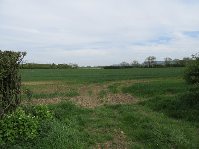
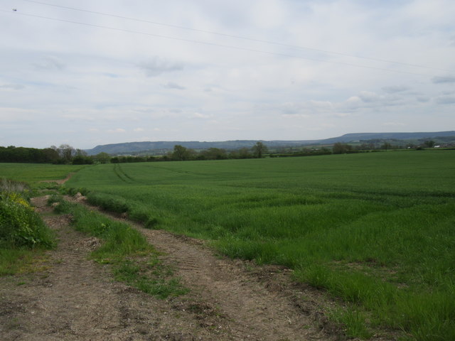
Long Lane Plantation, located in Yorkshire, is a picturesque woodland area known for its breathtaking beauty and rich history. Nestled in the heart of the county, it covers a vast expanse of land filled with lush green forests and meandering walking trails.
The plantation is renowned for its diverse ecosystem, harboring a plethora of flora and fauna. Towering oak, beech, and pine trees dominate the landscape, creating a serene and tranquil atmosphere. The forest floor is carpeted with ferns, wildflowers, and mosses, adding to the enchanting ambiance.
Visitors to Long Lane Plantation can explore the numerous walking paths that wind their way through the woodland. These paths offer stunning views of the surrounding countryside and provide opportunities for nature enthusiasts to spot a variety of wildlife, including deer, foxes, and a wide array of bird species.
The plantation's history dates back centuries, with records indicating its existence since the Middle Ages. It has been owned by various noble families throughout the years, each leaving their mark on the estate. The remnants of old stone walls and ruins of a historic manor can still be seen, serving as a reminder of the area's rich past.
Long Lane Plantation is not only a haven for nature lovers but also a popular destination for picnics and family outings. Its peaceful and unspoiled environment offers a much-needed escape from the hustle and bustle of city life, making it the perfect place to relax and reconnect with nature.
If you have any feedback on the listing, please let us know in the comments section below.
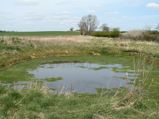
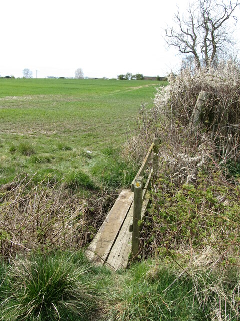
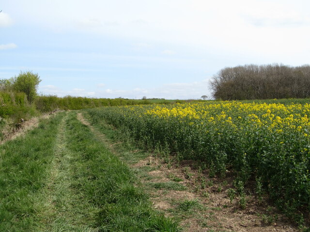
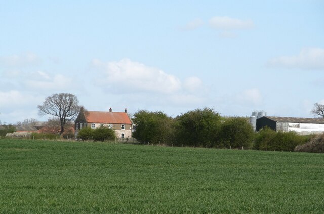
Long Lane Plantation Images
Images are sourced within 2km of 54.398501/-1.411689 or Grid Reference NZ3800. Thanks to Geograph Open Source API. All images are credited.


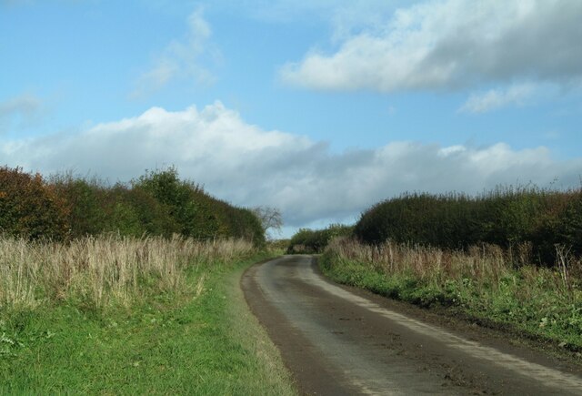


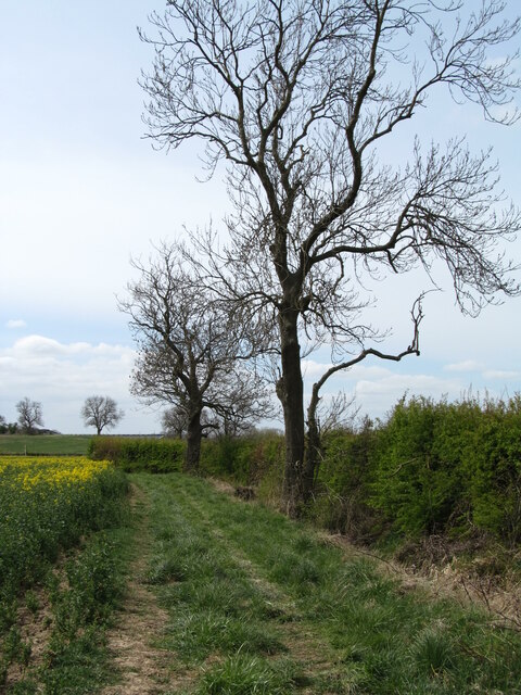
![Mankin Lane This is probably an ancient route between the villages of Welbury and Deighton, but now just reduced to a bridleway [no: 10.164/8]. A good time to visit this lane after a month of dry weather, as the churned up surface and hoof prints would suggest that this could be a mud bath in wetter conditions.](https://s3.geograph.org.uk/geophotos/06/81/62/6816275_1810bd31.jpg)
Long Lane Plantation is located at Grid Ref: NZ3800 (Lat: 54.398501, Lng: -1.411689)
Division: North Riding
Administrative County: North Yorkshire
District: Hambleton
Police Authority: North Yorkshire
What 3 Words
///squabbles.clan.refreshed. Near Brompton, North Yorkshire
Nearby Locations
Related Wikis

Deighton, Hambleton
Deighton is a village and civil parish in the Hambleton District of North Yorkshire, England. It is about 6 miles north of Northallerton and near the A167...

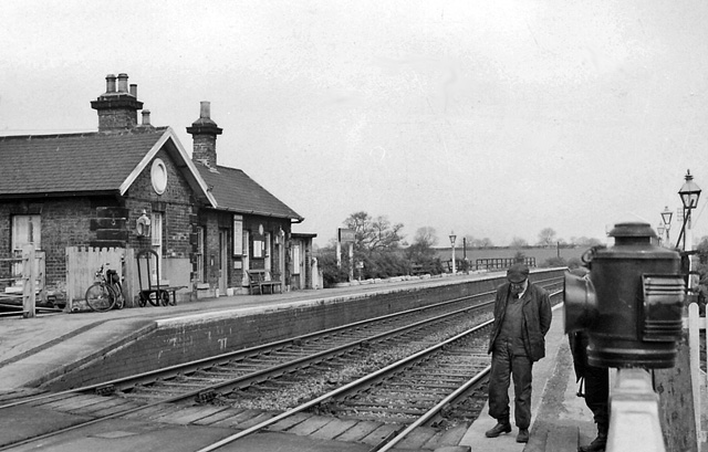
Welbury railway station
Welbury railway station was a railway station serving the village of Welbury in North Yorkshire, England. Located on the Northallerton to Eaglescliffe...
Welbury
Welbury is a village and civil parish in the Hambleton district of North Yorkshire, England. It is about 1 mile (1.6 km) south of Appleton Wiske and 8...
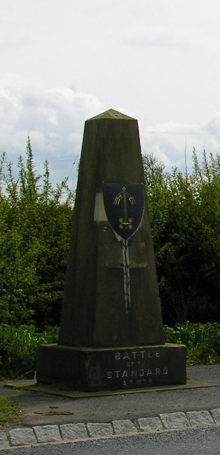
Battle of the Standard
The Battle of the Standard, sometimes called the Battle of Northallerton, took place on 22 August 1138 on Cowton Moor near Northallerton in Yorkshire,...
Brompton railway station
Brompton railway station was a railway station that served the community of Brompton, 1 mile (1.6 km) north east of Northallerton in North Yorkshire, England...
West Harlsey
West Harlsey is a hamlet and civil parish in the Hambleton district of North Yorkshire, England. The population as taken at the 2011 Census was less than...
Brompton, west North Yorkshire
Brompton is a village, civil parish and electoral ward in the Hambleton District of North Yorkshire, England, about 1.6 miles (2.6 km) north of the county...

Danby Wiske railway station
Danby Wiske railway station was a station on the East Coast Main Line. It was located approximately 0.5 miles (0.8 km) east of Danby Wiske, in the Hambleton...
Nearby Amenities
Located within 500m of 54.398501,-1.411689Have you been to Long Lane Plantation?
Leave your review of Long Lane Plantation below (or comments, questions and feedback).