Doley
Settlement in Staffordshire Stafford
England
Doley
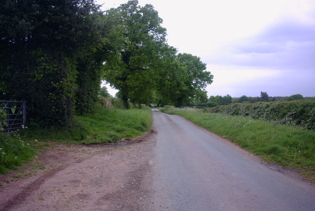
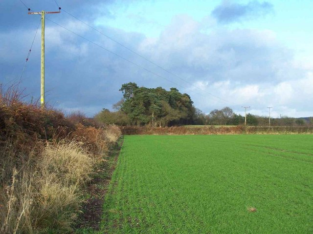
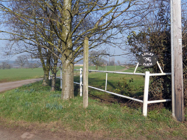
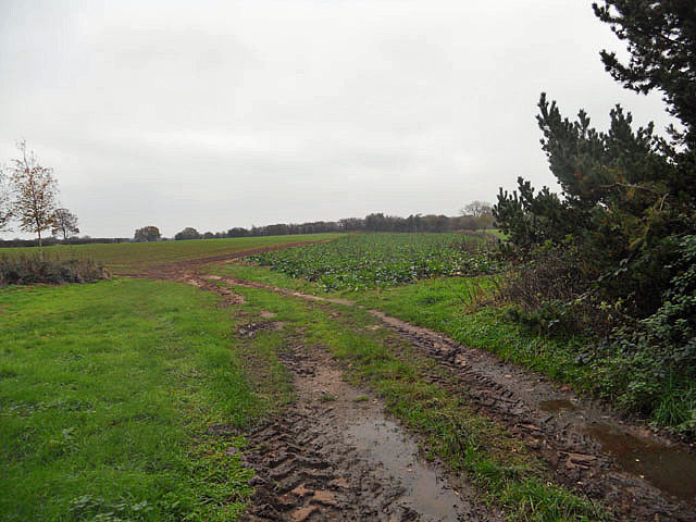
Doley is a small village located in the Staffordshire county of England. It is situated approximately 4 miles northeast of the town of Stafford, which serves as the administrative center for the county. The village is nestled in a picturesque rural setting, surrounded by rolling hills and farmland.
Doley has a rich history, with evidence of human settlement dating back to Roman times. The village is known for its charming traditional architecture, with many of its buildings constructed from local stone. The centerpiece of Doley is the historic St. Mary's Church, which dates back to the 12th century and features a striking tower that can be seen from miles around.
While Doley is primarily a residential area, it also has a close-knit community that actively participates in local events and activities. The village has a small primary school, providing education to the local children, and a village hall that serves as a hub for community gatherings and events.
The surrounding countryside offers ample opportunities for outdoor activities, such as hiking, cycling, and horse riding. Doley is also conveniently located near Cannock Chase, a designated Area of Outstanding Natural Beauty, which attracts visitors with its expansive woodlands, wildlife, and walking trails.
Despite its tranquil rural setting, Doley benefits from good transport links, with easy access to the nearby M6 motorway and Stafford Railway Station, which offers regular train services to major cities such as Birmingham and Manchester.
Overall, Doley is a peaceful and picturesque village that offers a quintessential English countryside experience, while also providing convenient access to nearby amenities and attractions.
If you have any feedback on the listing, please let us know in the comments section below.
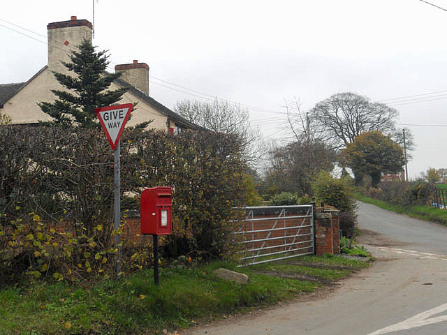
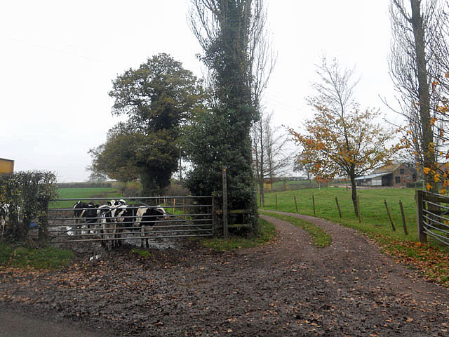
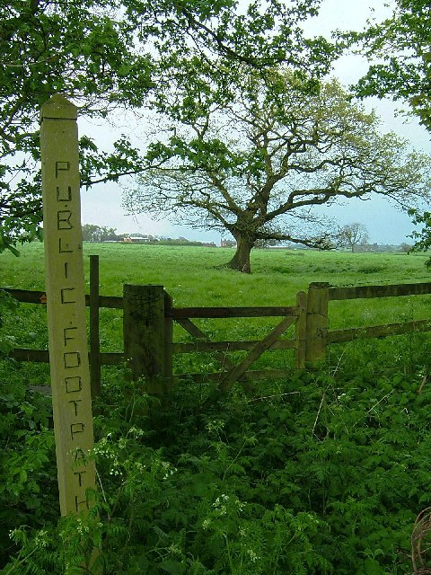
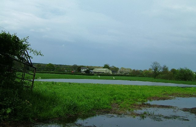
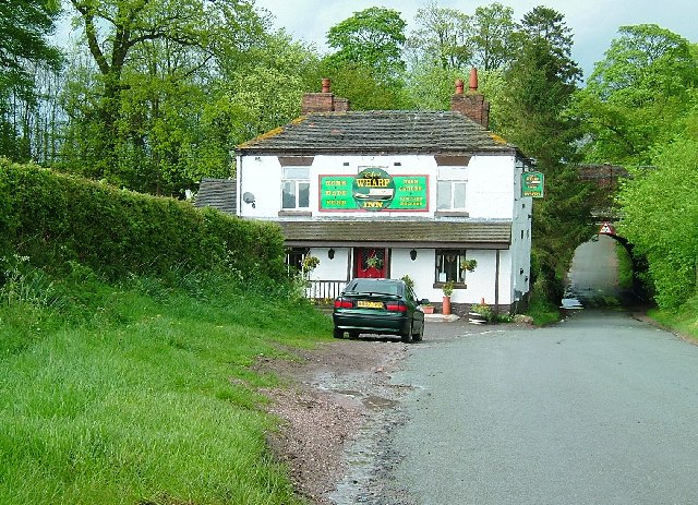
Doley Images
Images are sourced within 2km of 52.862355/-2.380218 or Grid Reference SJ7429. Thanks to Geograph Open Source API. All images are credited.


Doley is located at Grid Ref: SJ7429 (Lat: 52.862355, Lng: -2.380218)
Administrative County: Staffordshire
District: Stafford
Police Authority: Staffordshire
What 3 Words
///proud.valuables.unzips. Near Eccleshall, Staffordshire
Nearby Locations
Related Wikis

Soudley, Shropshire
Soudley is a small village in Shropshire in the civil parish of Cheswardine. The village had a pub called The Wheatsheaf until it was destroyed by fire...

Adbaston
Adbaston is a village and a civil parish in the English county of Staffordshire. == Location == The village is 13 miles (20.9 km) north east of the town...

Cheswardine
Cheswardine ( CHEZ-war-dyne) is a rural village and civil parish in north east Shropshire, England. The village lies close to the border with Staffordshire...

Outlands, Staffordshire
Outlands is a hamlet in the English county of Staffordshire. It lies 1 km eas of Bishop's Offley. == External links == Map sources for Outlands, Staffordshire

Knighton, Stafford
Knighton is a hamlet part of the parish of Adbaston in the county of Staffordshire, England. Knighton is situated close to the Staffordshire/Shropshire...
Armsdale
Armsdale is a village in Staffordshire, England. Population details for the 2011 census can be found under Eccleshall.

Tunstall, Stafford
Tunstall is a hamlet near Eccleshall in the borough of Stafford in Staffordshire, England. In 1870–72 it had a population of 72. Tunstall was recorded...
Shebdon
Shebdon is a hamlet in the county of Staffordshire, England. It is part of the parish of High Offley, a small village approximately 1.5 miles to the ENE...
Nearby Amenities
Located within 500m of 52.862355,-2.380218Have you been to Doley?
Leave your review of Doley below (or comments, questions and feedback).