Ascot

Settlement in Berkshire

England

Ascot

The Forge 86a Upper Village Road Sunninghill The house was built 25 years ago following demolition of the original factory (The Forge). The climber on the right is Solanum jasminoides 'Album', still flowering profusely in October.
The Forge 86a Upper Village Road Sunninghill Credit: Mick Crawley

Ascot is a small town located in the county of Berkshire, England. Situated approximately 25 miles west of London, Ascot is known for its world-renowned racecourse, Ascot Racecourse, which hosts the annual Royal Ascot event. The town has a population of around 12,000 residents.

Ascot is a popular destination for horse racing enthusiasts from around the globe. The historic Ascot Racecourse, established in 1711 by Queen Anne, is famous for its elegant and prestigious events. The Royal Ascot, held every June, attracts international attention and is attended by members of the British royal family.

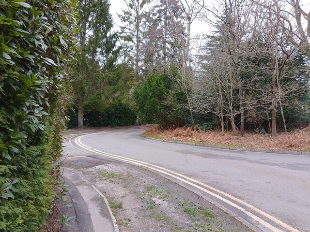
Beyond its racing heritage, Ascot offers a charming and picturesque setting. The town is surrounded by beautiful countryside, including the Windsor Great Park, which is adjacent to the racecourse. The park offers extensive walking and cycling trails, as well as a diverse range of flora and fauna.

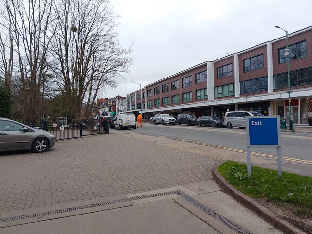
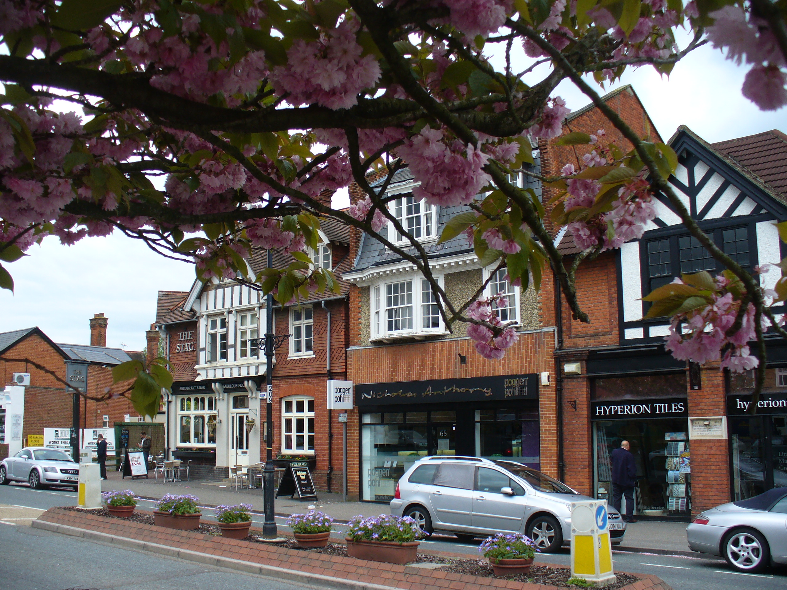
Ascot also boasts a vibrant community with a range of amenities. The high street is lined with independent shops, cafes, and restaurants, providing a unique and delightful shopping experience. The town hosts regular community events, including farmers' markets, fairs, and festivals, which contribute to its lively atmosphere.

Transport links in Ascot are excellent, with a train station providing frequent services to London and other major cities. The town is also conveniently located near major road networks, including the M3 and M4 motorways, making it easily accessible by car.

In summary, Ascot is a charming town with a rich sporting heritage, beautiful surroundings, and a vibrant community, making it a desirable place to live and visit.

If you have any feedback on the listing, please let us know in the comments section below.
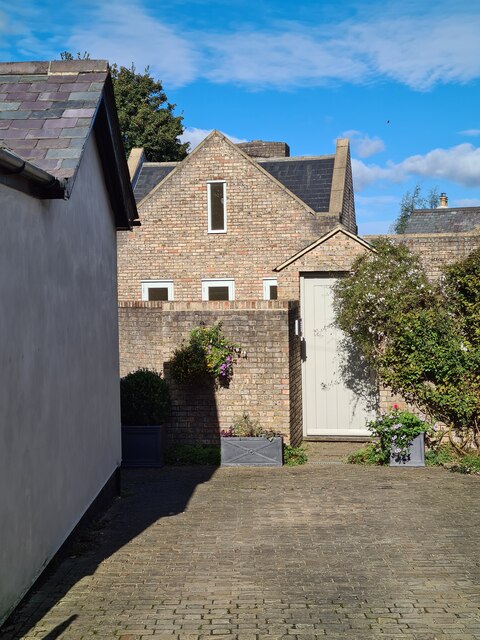
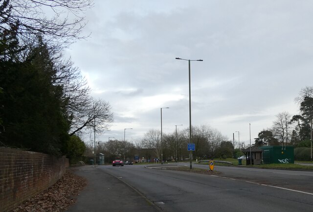
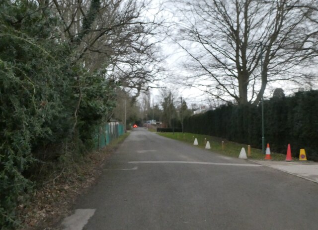
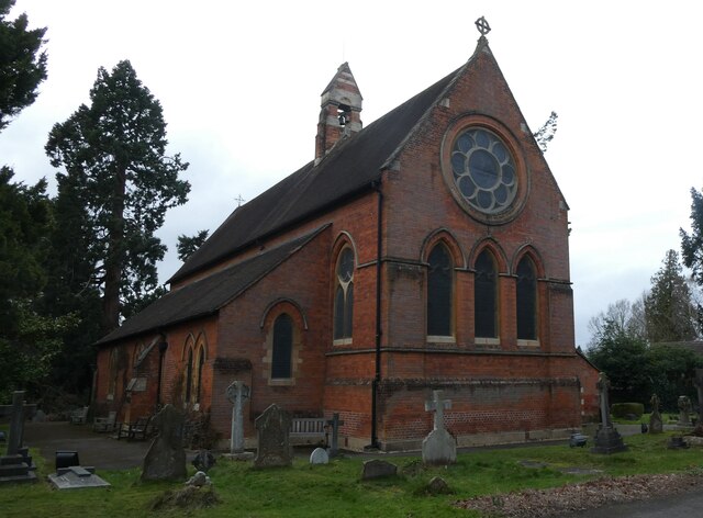
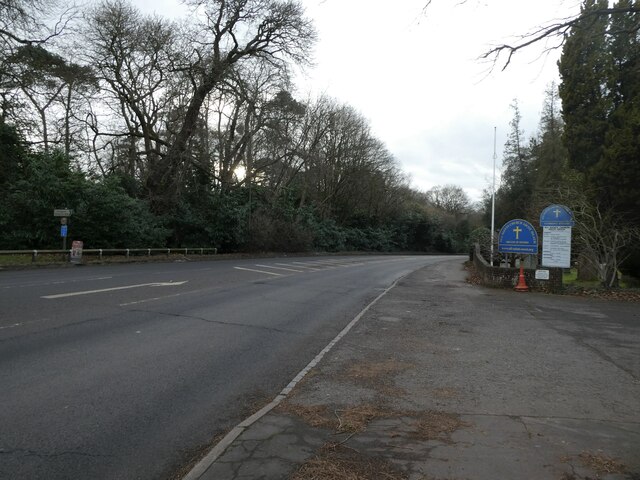
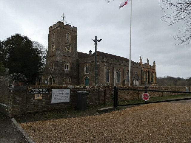
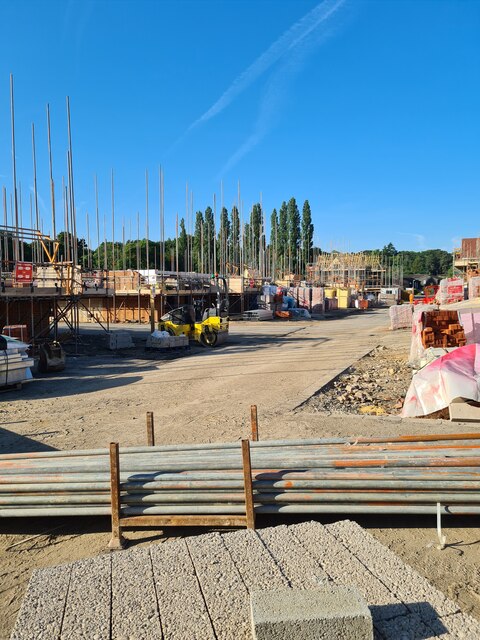
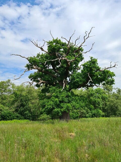
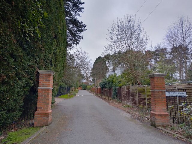
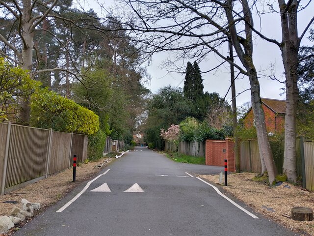
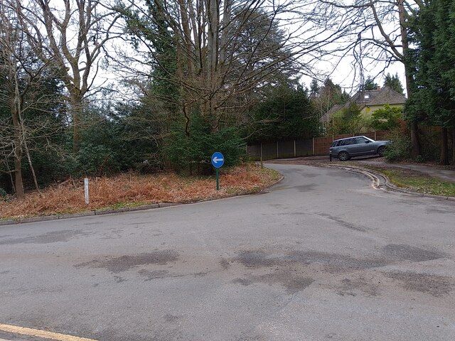
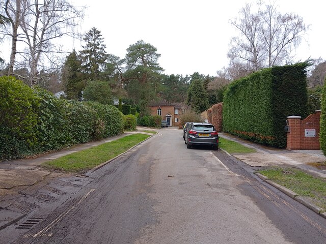
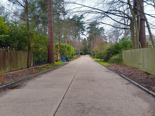
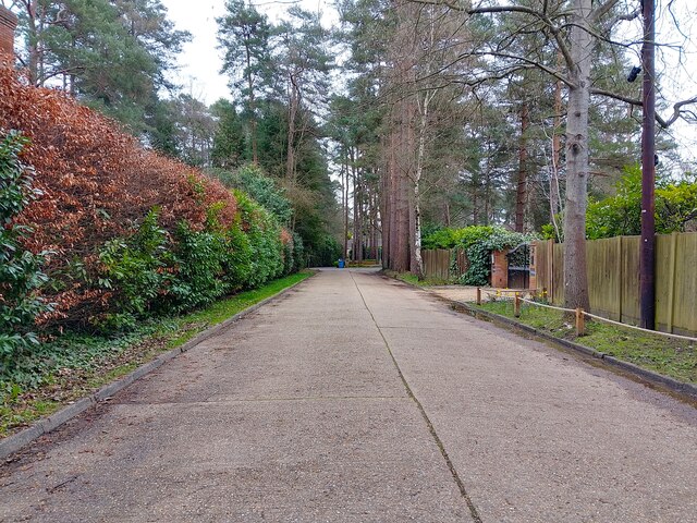
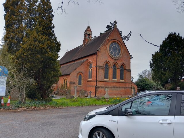
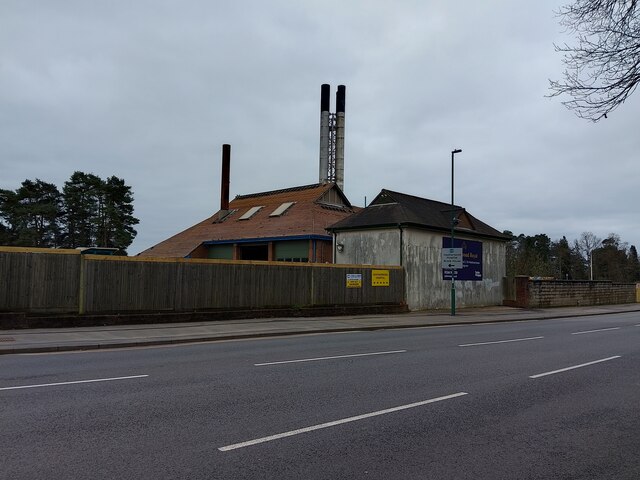
Ascot Images

Images are sourced within 2km of 51.40903/-0.672723 or Grid Reference SU9268. Thanks to Geograph Open Source API. All images are credited.

The Forge 86a Upper Village Road Sunninghill The house was built 25 years ago following demolition of the original factory (The Forge). The climber on the right is Solanum jasminoides 'Album', still flowering profusely in October.
The Forge 86a Upper Village Road Sunninghill
The house was built 25 years ago following demolition of the original factory (The Forge). The climber on the right is Solanum jasminoides 'Album', still flowering profusely in October.
Looking eastwards along the A329 (taken from outside All Saints, Ascot Heath)
Looking eastwards along the A329
(taken from outside All Saints, Ascot Heath)
Looking south-southwest along Church Lane
All Saints, Ascot Heath: early February 2022
Looking westwards on the A329 (taken outside All Saints, Ascot Heath)
Looking westwards on the A329
(taken outside All Saints, Ascot Heath)
St Michael & All Angels, Sunninghill: early February 2022
site of the former Sunninghill Gasometer After lying derelict for many years, the gasometer was eventually demolished, then the site lay as waste ground for a decade, during which period it developed a very diverse flora.  All that is gone now, as the long-delayed housing development is underway.
site of the former Sunninghill Gasometer
After lying derelict for many years, the gasometer was eventually demolished, then the site lay as waste ground for a decade, during which period it developed a very diverse flora. All that is gone now, as the long-delayed housing development is underway.
Stag-headed Quercus robur in Church Field Silwood Park As the tree ages,  there comes a point when the canopy starts to contract each year  leaving the resilient but now dead limbs behind.
Stag-headed Quercus robur in Church Field Silwood Park
As the tree ages, there comes a point when the canopy starts to contract each year leaving the resilient but now dead limbs behind.
Ascot High Street The high street in Ascot on race day - a place to avoid if you aren't heading to the races yourself, viewed from the petrol station. Lots of illegal parking and thousands of cars flocking everywhere.
Ascot High Street
The high street in Ascot on race day - a place to avoid if you aren't heading to the races yourself, viewed from the petrol station. Lots of illegal parking and thousands of cars flocking everywhere.
Friary Road A private road (and public footpath) between Brockenhurst Road (the A330) and Coronation Road.
Friary Road
A private road (and public footpath) between Brockenhurst Road (the A330) and Coronation Road.
Friary Road A private road (and public footpath) between Brockenhurst Road (the A330) and Coronation Road.
Friary Road
A private road (and public footpath) between Brockenhurst Road (the A330) and Coronation Road.
Woodlands Ride A road serving cul-de-sacs and private roads off Coronation Road. At this point the road splits and goes around a small patch of woodland as a roundabout.
Woodlands Ride
A road serving cul-de-sacs and private roads off Coronation Road. At this point the road splits and goes around a small patch of woodland as a roundabout.
Woodlands Ride A road serving cul-de-sacs and private roads off Coronation Road. This is the part of the road after the roundabout.
Woodlands Ride
A road serving cul-de-sacs and private roads off Coronation Road. This is the part of the road after the roundabout.
Llanvair Drive A road between Woodlands Ride and Coronation Road. The road narrows to a single lane ahead for a short time.
Llanvair Drive
A road between Woodlands Ride and Coronation Road. The road narrows to a single lane ahead for a short time.
Llanvair Drive A road between Woodlands Ride and Coronation Road.
Llanvair Drive
A road between Woodlands Ride and Coronation Road.
All Saints' Church A church in North Ascot, off the A329 (London Road). It was built in 1864 with red brick and Bath stone dressings. This photograph was taken on a Sunday, which is why the car park has some cars in it.

The church is a Grade II listed building, list entry number 1109923 <span class="nowrap"><a title="https://historicengland.org.uk/listing/the-list/list-entry/1109923" rel="nofollow ugc noopener" href="https://historicengland.org.uk/listing/the-list/list-entry/1109923">Link</a><img style="margin-left:2px;" alt="External link" title="External link - shift click to open in new window" src="https://s1.geograph.org.uk/img/external.png" width="10" height="10"/></span>
All Saints' Church
A church in North Ascot, off the A329 (London Road). It was built in 1864 with red brick and Bath stone dressings. This photograph was taken on a Sunday, which is why the car park has some cars in it. The church is a Grade II listed building, list entry number 1109923 LinkExternal link
Building 46 at old Heatherwood Hospital Simply known as "Building 46" - this number being taken from Heatherwood Hospital's plans of the site - this building with large chimneys, unique tiled roof with half height gables and brick walls with decorative internal structural steel and render on another section will soon be demolished.

The detail given within the planning application of the building is as follows: "Building 46 is a single storey brick-built structure with a profile metal roof
and gable cladding. Overall the building is in good condition with one large
gap located at the northwest corner of the building. Internally the building is
split into both a workshop area and office space. A loft space is located via
a stairway and is in good condition showing no sign of damage."

It has acted as a landmark to the area since the 1920s in its prominent position beside the A332 (King's Ride). All of the 1920s buildings of old Heatherwood Hospital are set to be demolished, or already have been. In 2018, full planning permission was given to demolish the existing hospital and construct a new building to serve as the hospital. In 2022, planning permission was given for the construction of 230 homes on the site in the form of 2, 3 and 4 bed houses and 1, 2 and 3 bed flats.
Building 46 at old Heatherwood Hospital
Simply known as "Building 46" - this number being taken from Heatherwood Hospital's plans of the site - this building with large chimneys, unique tiled roof with half height gables and brick walls with decorative internal structural steel and render on another section will soon be demolished. The detail given within the planning application of the building is as follows: "Building 46 is a single storey brick-built structure with a profile metal roof and gable cladding. Overall the building is in good condition with one large gap located at the northwest corner of the building. Internally the building is split into both a workshop area and office space. A loft space is located via a stairway and is in good condition showing no sign of damage." It has acted as a landmark to the area since the 1920s in its prominent position beside the A332 (King's Ride). All of the 1920s buildings of old Heatherwood Hospital are set to be demolished, or already have been. In 2018, full planning permission was given to demolish the existing hospital and construct a new building to serve as the hospital. In 2022, planning permission was given for the construction of 230 homes on the site in the form of 2, 3 and 4 bed houses and 1, 2 and 3 bed flats.
Show me another place!

Ascot is located at Grid Ref: SU9268 (Lat: 51.40903, Lng: -0.672723)

Unitary Authority: Windsor and Maidenhead

Police Authority: Thames Valley

What 3 Words

///crop.dark.bands. Near Ascot, Berkshire

Nearby Locations

Ascot

Related Wikis

Ascot, Berkshire

Ascot () is a town in the Royal Borough of Windsor and Maidenhead in Berkshire, England. It is 6 miles (9.7 km) south of Windsor, 4 miles (6.4 km) east...

Ascot railway station (Berkshire)

Ascot railway station serves the town of Ascot in Berkshire, England. It is 28 miles 79 chains (46.7 km) down the line from London Waterloo. The station...

St George's School, Ascot

St George's School, Ascot is an independent girls' boarding and day school in Ascot, Berkshire, England. It was founded as a boys' school but later became...

Ascot Gold Cup

The Gold Cup is a Group 1 flat horse race in Great Britain open to horses aged four years or older. It is run at Ascot over a distance of 2 miles 3 furlongs...

Nearby Amenities

Located within 500m of 51.40903,-0.672723
Ascot
Is In: Berkshire
Place: town
Population: 11603
Wikidata: Q723329
Wikipedia: en:Ascot, Berkshire
Lat/Long: 51.4101286/-0.6680194
Taxi
Ascot Station
Naptan AtcoCode: 036006007289
Naptan CommonName: Ascot Station
Naptan Indicator: o/s
Naptan Landmark: Station approach
Naptan Street: Station Hill
Naptan Verified: no
Source: naptan_import
Lat/Long: 51.4064098/-0.6757987
Bus Stop
Station Hill
Alt Name: Ascot Racecourse
Bus: yes
Naptan AltCommonName: Ascot Racecourse
Naptan AltStreet: Not Specified
Naptan AtcoCode: 036006640640
Naptan Bearing: E
Naptan CommonName: Station Hill
Naptan Indicator: opp
Naptan Landmark: Station Hill
Naptan NaptanCode: windtmg
Naptan Street: High Street
Naptan Verified: no
Public Transport: platform
Source: naptan_import
Lat/Long: 51.4109381/-0.6763671
Bus Stop
Station Hill
Alt Name: Ascot Heath
Bus: yes
Naptan AltCommonName: Ascot Heath
Naptan AltStreet: Not Specified
Naptan AtcoCode: 036006640641
Naptan Bearing: W
Naptan CommonName: Station Hill
Naptan Indicator: adj
Naptan Landmark: Station Hill
Naptan NaptanCode: windtmj
Naptan Street: High Street
Naptan Verified: no
Public Transport: platform
Source: naptan_import
Lat/Long: 51.4108312/-0.6762975
Bus Stop
Ascot Station
Bench: yes
Bus: yes
Naptan AtcoCode: 036006654654
Naptan Bearing: N
Naptan CommonName: Ascot Station
Naptan Indicator: Adj
Naptan Landmark: Station approach
Naptan NaptanCode: windtmw
Naptan Street: Station Hill
Naptan Verified: no
Public Transport: platform
Shelter: yes
Source: naptan_import
Lat/Long: 51.4070746/-0.6754608
Bus Stop
Ascot Station
Bench: yes
Bus: yes
Naptan AtcoCode: 036006654655
Naptan Bearing: S
Naptan CommonName: Ascot Station
Naptan Indicator: Opp
Naptan Landmark: Station approach
Naptan NaptanCode: windtpa
Naptan Street: Station Hill
Naptan Verified: no
Public Transport: platform
Shelter: yes
Source: naptan_import
Lat/Long: 51.4073251/-0.6754321
Post Office
Source: OS_OpenData_StreetView
Lat/Long: 51.4108892/-0.6740017
Barrier: bollard
Lat/Long: 51.4058437/-0.6762506
Traffic Signals
Source: Bing
Traffic Signals Direction: forward
Lat/Long: 51.4109794/-0.6771471
Crossing
Crossing: unmarked
Kerb: lowered
Tactile Paving: yes
Lat/Long: 51.4072318/-0.6754654
Barrier: bollard
Lat/Long: 51.4117833/-0.6731147
Ascot
Public Transport: stop_position
Train: yes
Lat/Long: 51.4063897/-0.6774701
Ascot
Public Transport: stop_position
Train: yes
Lat/Long: 51.4060578/-0.6759139
Railway: switch
Lat/Long: 51.4048957/-0.6707755
Ascot
Public Transport: stop_position
Train: yes
Lat/Long: 51.406046/-0.6751335
Railway: switch
Lat/Long: 51.405062/-0.6714707
Ascot Junction (West)
Railway: junction
Wikidata: Q124329416
Lat/Long: 51.4065171/-0.6780155
Railway: switch
Lat/Long: 51.4064506/-0.6777904
Railway: railway_crossing
Lat/Long: 51.406589/-0.6786006
Railway: switch
Lat/Long: 51.405427/-0.6727705
Railway: switch
Lat/Long: 51.4058445/-0.6748544
Railway: switch
Lat/Long: 51.405651/-0.6741815
Crossing
Crossing: uncontrolled
Crossing Island: yes
Crossing Ref: zebra
Kerb: lowered
Lat/Long: 51.4106616/-0.6736008
Railway: crossing
Lat/Long: 51.4059619/-0.6747518
Railway: crossing
Lat/Long: 51.40588/-0.6750288
Railway: crossing
Lat/Long: 51.405931/-0.6750033
Railway: switch
Lat/Long: 51.4048346/-0.6705655
Ascot Hill House
Place: isolated_dwelling
Lat/Long: 51.4087048/-0.6750285
Crossing
Crossing: uncontrolled
Crossing Island: yes
Kerb: lowered
Lat/Long: 51.4107585/-0.6751586
Traffic Signals
Source: Bing
Traffic Signals Direction: forward
Lat/Long: 51.4109147/-0.6770169
Barrier: kerb
Kerb: lowered
Tactile Paving: no
Lat/Long: 51.4108394/-0.6766162
Crossing
Crossing: unmarked
Kerb: lowered
Lat/Long: 51.4109343/-0.6760696
Crossing
Crossing: uncontrolled
Crossing Island: yes
Kerb: lowered
Tactile Paving: yes
Lat/Long: 51.4108794/-0.6757796
Crossing
Bicycle: yes
Crossing: traffic_signals
Crossing Island: yes
Crossing Ref: toucan
Kerb: lowered
Source: survey
Tactile Paving: yes
Lat/Long: 51.4109234/-0.6771158
Crossing
Bicycle: yes
Crossing: traffic_signals
Crossing Island: yes
Crossing Ref: toucan
Kerb: lowered
Source: survey
Tactile Paving: yes
Lat/Long: 51.4109763/-0.677105
Crossing
Crossing: uncontrolled
Crossing Island: yes
Kerb: lowered
Sloped Curb: yes
Lat/Long: 51.410824/-0.6751575
Crossing
Crossing: unmarked
Kerb: lowered
Lat/Long: 51.4108441/-0.6766827
Crossing
Crossing: uncontrolled
Crossing Island: yes
Kerb: lowered
Tactile Paving: yes
Lat/Long: 51.410822/-0.6757986
Crossing
Crossing: unmarked
Kerb: lowered
Sloped Curb: yes
Lat/Long: 51.4108319/-0.6747707
Crossing
Crossing: unmarked
Kerb: lowered
Sloped Curb: yes
Lat/Long: 51.4129136/-0.6691006
Nicholas Anthony
Addr City: Ascot
Addr Housenumber: 65
Addr Postcode: SL5 7HP
Addr Street: High Street
Contact Facebook: NicholasAnthonyKB
Contact Instagram: NichAnthony
Contact Linkedin: https://www.linkedin.com/company/nicholas-anthony/
Contact Pinterest: https://www.pinterest.co.uk/nichanthony/
Contact Twitter: NichAnthony
Email: info@nicholas-anthony.co.uk
Phone: +44 800 0683603
Shop: kitchen
Website: https://nicholas-anthony.co.uk/
Lat/Long: 51.4105446/-0.6714342
Crossing
Crossing: unmarked
Kerb: lowered
Sloped Curb: yes
Lat/Long: 51.4104243/-0.6713103
Crossing
Crossing: uncontrolled
Crossing Island: yes
Kerb: lowered
Sloped Curb: yes
Lat/Long: 51.4107763/-0.6745512
Crossing
Crossing: unmarked
Kerb: lowered
Sloped Curb: yes
Lat/Long: 51.4108512/-0.6750154
Crossing
Crossing: uncontrolled
Crossing Island: yes
Kerb: lowered
Sloped Curb: yes
Lat/Long: 51.4107099/-0.6745654
Crossing
Bicycle: yes
Crossing: unmarked
Kerb: no
Tactile Paving: no
Lat/Long: 51.4110676/-0.6776107
Crossing
Crossing: unmarked
Kerb: lowered
Sloped Curb: yes
Lat/Long: 51.4104767/-0.6720448
Crossing
Crossing Island: yes
Kerb: lowered
Sloped Curb: yes
Lat/Long: 51.4105536/-0.6722775
Crossing
Crossing Island: yes
Kerb: lowered
Sloped Curb: yes
Lat/Long: 51.410393/-0.6686393
Crossing
Crossing Island: yes
Kerb: lowered
Sloped Curb: yes
Lat/Long: 51.4103975/-0.6686985
Barrier: bollard
Lat/Long: 51.4064621/-0.6683292
Pub
The Stag
Addr City: Ascot
Addr Housename: The Stag Public House
Addr Housenumber: 63
Addr Postcode: SL5 7HP
Addr Street: High Street
Brand: Greene King
Brand Wikidata: Q5564162
Fhrs Id: 543769
Source Addr: FHRS Open Data
Website: https://www.greeneking.co.uk/pubs/berkshire/stag
Lat/Long: 51.4106357/-0.6719047
Crossing
Crossing: uncontrolled
Crossing Island: yes
Kerb: lowered
Lat/Long: 51.4106326/-0.6753792
Crossing
Crossing: uncontrolled
Crossing Island: yes
Kerb: lowered
Lat/Long: 51.4106353/-0.6754635
Toilets
Female: yes
Male: yes
Source: seen on journey
Lat/Long: 51.4105392/-0.6756612
Bench
Check Date: 2021-03-24
Lat/Long: 51.4070508/-0.67553
Crossing
Crossing: uncontrolled
Crossing Island: yes
Kerb: lowered
Tactile Paving: yes
Lat/Long: 51.4068082/-0.6753693
Barrier: kerb
Kerb: lowered
Tactile Paving: yes
Lat/Long: 51.406851/-0.6754623
Building: entrance
Entrance: main
Lat/Long: 51.4063867/-0.6759355
Fast Food
Snack Cabin
Source: Bing;seen on journey
Lat/Long: 51.4055282/-0.6761013
Man Made: mast
Lat/Long: 51.4063351/-0.6758562
Crossing
Crossing: unmarked
Kerb: lowered
Sloped Curb: yes
Lat/Long: 51.4108902/-0.6755078
Crossing
Crossing: unmarked
Kerb: lowered
Sloped Curb: yes
Lat/Long: 51.4109203/-0.6758816
Give Way
Source: Bing
Lat/Long: 51.4068352/-0.6753167
Give Way
Source: Bing
Lat/Long: 51.4054489/-0.6757388
Post Box
Collection Plate: CP7
Collection Times: Mo-Fr 16:00; Sa 10:30
Operator: Royal Mail
Post Box Type: wall
Ref: SL5 11
Royal Cypher: EIIR
Royal Cypher Wikidata: Q33102113
Lat/Long: 51.4064078/-0.6759718
Bank
Barclays
Addr City: Ascot
Addr Postcode: SL5 7JG
Addr Street: High Street
Atm: yes
Brand: Barclays
Brand Wikidata: Q245343
Brand Wikipedia: en:Barclays
Drive Through: no
Lat/Long: 51.4108961/-0.6752427
Atm
Currency GBP: yes
Operator: Barclays
Lat/Long: 51.4108773/-0.6751374
Pharmacy
Boots
Brand: Boots
Brand Wikidata: Q6123139
Brand Wikipedia: en:Boots UK
Dispensing: yes
Drive Through: no
Healthcare: pharmacy
Website: https://www.boots.com/stores/5574-ascot-high-street-sl5-7hg
Lat/Long: 51.4108415/-0.6746727
Fast Food
Subway
Brand: Subway
Brand Wikidata: Q244457
Brand Wikipedia: en:Subway (restaurant)
Contact Website: https://restaurants.subway.com/united-kingdom/en/ascot/25-high-street
Cuisine: sandwich
Takeaway: yes
Lat/Long: 51.4108359/-0.6746067
Little Wishes
Shop: yes
Lat/Long: 51.4108317/-0.6745389
Restaurant
Ascot Spices
Cuisine: indian;bangladeshi
Delivery: yes
Takeaway: yes
Lat/Long: 51.4108271/-0.6744662
Chancellors
Office: estate_agent
Lat/Long: 51.4108177/-0.6743861
Lodge Brothers
Shop: funeral_directors
Lat/Long: 51.4108129/-0.6743099
Berkshire Wealth
Office: yes
Lat/Long: 51.4108112/-0.6742761
Coral
Brand: Coral
Brand Wikidata: Q54621344
Brand Wikipedia: en:Coral (bookmaker)
Shop: bookmaker
Lat/Long: 51.410808/-0.6742271
Cafe
Ascot's
Cuisine: cafe
Internet Access: yes
Outdoor Seating: yes
Lat/Long: 51.4107982/-0.6740888
Post Box
Brand: Royal Mail
Brand Wikidata: Q638098
Brand Wikipedia: en:Royal Mail
Collection Times: Mo-Fr 17:00; Sa 12:00
Drive Through: no
Operator: Royal Mail
Operator Wikidata: Q638098
Post Box Apertures: 2
Post Box Design: type_c
Post Box Type: pillar
Ref: SL5 46;SL5 146
Royal Cypher: EIIR
Royal Cypher Wikidata: Q33102113
Lat/Long: 51.4107827/-0.6740543
Strutt & Parker
Office: estate_agent
Lat/Long: 51.4107866/-0.6740127
Office: yes
Lat/Long: 51.4107914/-0.6738893
WHSmith
Brand: WHSmith
Brand Wikidata: Q1548712
Brand Wikipedia: en:WHSmith
Payment Cards: yes
Payment Cash: yes
Shop: newsagent
Lat/Long: 51.410786/-0.6738074
Cafe
Costa
Addr Housenumber: 39
Addr Postcode: SL5 7HY
Addr Street: High Street
Addr Unit: UNIT 2
Brand: Costa
Brand Wikidata: Q608845
Brand Wikipedia: en:Costa Coffee
Cuisine: coffee_shop
Fhrs Id: 1178121
Internet Access: wlan
Outdoor Seating: yes
Takeaway: yes
Lat/Long: 51.4107768/-0.6737333
Chewton Rose
Office: estate_agent
Lat/Long: 51.4107675/-0.6736484
Anne Marie
Shop: pastry
Lat/Long: 51.4107625/-0.6735627
C. E. Lewis
Shop: butcher
Lat/Long: 51.4107571/-0.6734784
Cliff Roe Sports
Shop: sports
Lat/Long: 51.4107511/-0.673402
Old Oak Floral Design
Shop: florist
Lat/Long: 51.4107484/-0.6733432
Toni & Guy
Brand: Toni & Guy
Brand Wikidata: Q324784
Brand Wikipedia: en:Toni & Guy
Shop: hairdresser
Lat/Long: 51.4107436/-0.6732831
William Hill
Brand: William Hill
Brand Wikidata: Q4053147
Brand Wikipedia: en:William Hill (bookmaker)
Shop: bookmaker
Lat/Long: 51.4107403/-0.6732115
Tesco Express
Addr Housenumber: 51-51A
Addr Postcode: SL5 7HG
Addr Street: High Street
Brand: Tesco Express
Brand Wikidata: Q98456772
Brand Wikipedia: en:Tesco
Contact Website: https://www.tesco.com/store-locator/ascot/50-51-high-st
Fhrs Id: 543754
Shop: convenience
Lat/Long: 51.4107337/-0.6731278
Guinot
Beauty: skin_care
Shop: beauty
Lat/Long: 51.4107289/-0.6729822
Colour House
Shop: hairdresser
Lat/Long: 51.4106984/-0.6727075
Cafe
Starbucks
Brand: Starbucks
Brand Wikidata: Q37158
Brand Wikipedia: en:Starbucks
Cuisine: coffee_shop
Internet Access: yes
Official Name: Starbucks Coffee
Takeaway: yes
Website: https://www.starbucks.com/store-locator/store/1013145/ascot-high-street-57-high-street-berkshire-eng-sl-5-7-hp-gb
Lat/Long: 51.4106807/-0.6725234
Knight Frank
Brand: Knight Frank
Brand Wikidata: Q3197998
Brand Wikipedia: en:Knight Frank
Office: estate_agent
Lat/Long: 51.4106752/-0.6724235
Boots Opticians
Brand: Boots Opticians
Brand Wikidata: Q4944037
Brand Wikipedia: en:Boots Opticians
Operator: Boots
Payment Cards: yes
Payment Cash: yes
Shop: optician
Short Name: Boots
Lat/Long: 51.4106685/-0.6723031
Ascot Hardware
Addr City: Ascot
Addr Housenumber: 61A
Addr Street: High Street
Shop: hardware
Lat/Long: 51.4106619/-0.6721881
Guy Salmon
Brand: Jaguar, Land Rover
Disused Shop: car
Lat/Long: 51.4106492/-0.6711794
Royal Ascot Tennis Club
Leisure: sports_centre
Sport: tennis
Start Date: 1905
Lat/Long: 51.4085105/-0.6722098
Communication Mobile Phone: yes
Man Made: mast
Tower Construction: freestanding
Tower Type: communication
Lat/Long: 51.4063878/-0.6755234
Man Made: street_cabinet
Power: yes
Voltage: 400
Lat/Long: 51.4062589/-0.6756067
Cafe
Cava Café
Takeaway: only
Lat/Long: 51.406247/-0.6758562
Vending Machine
Check Date: 2024-02-12
Vending: drinks
Lat/Long: 51.4063008/-0.6760648
Camera Mount: pole
Camera Type: panning
Man Made: surveillance
Surveillance Type: camera
Lat/Long: 51.4107203/-0.6750993
Clock
Date: no
Display: analog
Support: pole
Lat/Long: 51.4106987/-0.6751793
Man Made: flagpole
Lat/Long: 51.4107053/-0.675103
Bicycle Parking
Secure: yes
Lat/Long: 51.4063515/-0.6762872
Bicycle Parking
Bicycle Parking: stands
Covered: no
Lat/Long: 51.4062986/-0.6756554
Euro-City
Office: company
Lat/Long: 51.4058369/-0.6769218
Entrance: yes
Lat/Long: 51.4062946/-0.6759793
Parking
Lat/Long: 51.4068833/-0.6758492
McLaren
Brand: McLaren
Shop: car
Lat/Long: 51.406562/-0.675302
Shop: car_repair
Lat/Long: 51.4064323/-0.6748717
Man Made: mast
Tower Type: communication
Lat/Long: 51.4068433/-0.6755397
Ascot Cars
Office: taxi
Lat/Long: 51.4065066/-0.6754744
Barrier: bollard
Lat/Long: 51.4118144/-0.6734524
Barrier: kerb
Lat/Long: 51.4124811/-0.6691157
Ascot
Addr Postcode: SL5 9EG
Addr Street: Station Hill
Naptan AtcoCode: 9100ASCOT
Network: National Rail
Network Website: https://www.nationalrail.co.uk/stations/act/
Network Wikidata: Q26334
Old Name: Ascot and Sunninghill
Operator: South West Trains
Public Transport: station
Railway: station
Ref Crs: ACT
Wheelchair: yes
Wikidata: Q2750890
Wikipedia: en:Ascot railway station (Berkshire)
Lat/Long: 51.4062463/-0.6767778
Entrance: yes
Lat/Long: 51.4110957/-0.6777151
Direction: 170
Generator Method: photovoltaic
Generator Output Electricity: yes
Generator Solar Modules: 9
Generator Source: solar
Generator Type: solar_photovoltaic_panel
Location: roof
Power: generator
Lat/Long: 51.4114129/-0.6667631
Direction: 90
Generator Method: photovoltaic
Generator Output Electricity: yes
Generator Solar Modules: 10
Generator Source: solar
Generator Type: solar_photovoltaic_panel
Location: roof
Power: generator
Lat/Long: 51.4046395/-0.6727249
Railway: switch
Lat/Long: 51.406555/-0.6779618
Post Box
Collection Times: Mo-Fr 09:00; Sa 07:00
Drive Through: no
Operator: Royal Mail
Operator Wikidata: Q638098
Post Box Type: pillar
Ref: SL5 8D
Royal Cypher: EIIR
Royal Cypher Wikidata: Q33102113
Lat/Long: 51.4102153/-0.6668497
Post Box
Collection Times: Mo-Fr 09:00; Sa 07:00
Drive Through: no
Operator: Royal Mail
Operator Wikidata: Q638098
Post Box Type: wall
Ref: SL5 3D
Royal Cypher: EIIR
Royal Cypher Wikidata: Q33102113
Lat/Long: 51.4111137/-0.6779189
Barrier: kerb
Kerb: lowered
Tactile Paving: no
Lat/Long: 51.4108619/-0.6767308
Barrier: kerb
Kerb: lowered
Tactile Paving: no
Lat/Long: 51.4108475/-0.6767315
Barrier: kerb
Kerb: lowered
Tactile Paving: yes
Lat/Long: 51.4108975/-0.677121
Barrier: kerb
Kerb: lowered
Tactile Paving: yes
Lat/Long: 51.4110064/-0.6770989
Barrier: bollard
Lat/Long: 51.4108706/-0.6771263
Barrier: kerb
Kerb: lowered
Tactile Paving: no
Lat/Long: 51.4109516/-0.6777794
Barrier: kerb
Kerb: lowered
Tactile Paving: yes
Lat/Long: 51.4109596/-0.6771084
Barrier: kerb
Kerb: lowered
Tactile Paving: yes
Lat/Long: 51.4109415/-0.6771121
Barrier: kerb
Kerb: lowered
Tactile Paving: yes
Lat/Long: 51.4107951/-0.6758096
Barrier: kerb
Kerb: lowered
Tactile Paving: yes
Lat/Long: 51.4108951/-0.6757741
Barrier: kerb
Kerb: lowered
Tactile Paving: yes
Lat/Long: 51.4108576/-0.6757868
Barrier: kerb
Kerb: lowered
Tactile Paving: yes
Lat/Long: 51.4108398/-0.6757927
Barrier: kerb
Kerb: lowered
Tactile Paving: no
Lat/Long: 51.4106322/-0.6753437
Barrier: kerb
Kerb: lowered
Tactile Paving: no
Lat/Long: 51.4106374/-0.6755292
Barrier: kerb
Kerb: lowered
Tactile Paving: no
Lat/Long: 51.4106345/-0.6754381
Barrier: kerb
Kerb: lowered
Tactile Paving: no
Lat/Long: 51.410634/-0.6754227
Barrier: yes
Source: Bing
Lat/Long: 51.409704/-0.6742064
Barrier: yes
Source: Bing
Lat/Long: 51.409644/-0.674132
Crossing
Crossing: unmarked
Kerb: lowered
Source: Bing
Tactile Paving: yes
Lat/Long: 51.4065982/-0.6749042
Asda Express
Addr City: Ascot
Addr Country: GB
Addr Housename: Ascot Service Station
Addr Postcode: SL5 7HB
Addr Street: High Street
Branch: Ascot
Brand: Asda Express
Brand Wikidata: Q114826023
Fhrs Id: 1203567
Shop: convenience
Website: https://storelocator.asda.com/south-east/ascot/high-street
Lat/Long: 51.4102399/-0.6727017
Ascot Junction (East)
Railway: junction
Wikidata: Q124329411
Lat/Long: 51.4054454/-0.6727503
The data included in this document is from www.openstreetmap.org. The data is made available under ODbL.

Have you been to Ascot?

Leave your review of Ascot below (or comments, questions and feedback).