Barber Wood

Wood, Forest in Yorkshire

England

Barber Wood

Old milestone In the contract between the West Riding County Council and Gill & Frank Stead, stonemasons, of Mirfield, six of these milestones were to be erected from this one on the A629, Wortley Road, in Kimberworth to where the route meets the Sheffield to Penistone road, A61.   Rotherham 3 & 4 are now missing with 5, 6 and 7 still in situ.   They were set up in 1893/94.
Old milestone Credit: Chris Minto

Barber Wood, located in Yorkshire, England, is a picturesque forest that spans over a vast area of land. The wood is situated in close proximity to the charming village of Barber, which adds to its overall appeal. Nestled amidst rolling hills and lush greenery, Barber Wood offers a tranquil and serene atmosphere that attracts both locals and visitors alike.

Covering an area of approximately 500 acres, Barber Wood is predominantly made up of deciduous trees, including oak, beech, and birch, which create a vibrant and ever-changing landscape throughout the seasons. The wood is known for its rich biodiversity, providing a habitat for various species of flora and fauna. Visitors can often spot squirrels, deer, and a wide array of bird species while exploring the countless walking trails that wind their way through the forest.

The wood has been well-preserved over the years, with efforts made to maintain its natural beauty and protect its wildlife. There are designated picnic areas and viewpoints scattered throughout the wood, allowing visitors to pause and take in the stunning vistas. Additionally, Barber Wood is a popular destination for nature enthusiasts, photographers, and artists due to its picturesque scenery and abundant wildlife.

Barber Wood offers a peaceful retreat away from the hustle and bustle of city life. It provides an excellent opportunity for outdoor activities such as hiking, birdwatching, and photography. Whether one seeks solitude, a family outing, or a chance to explore nature's wonders, Barber Wood is a must-visit destination that showcases the true beauty of Yorkshire's countryside.

If you have any feedback on the listing, please let us know in the comments section below.
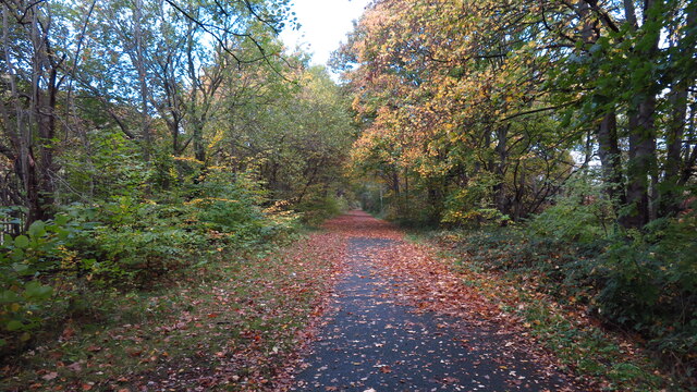
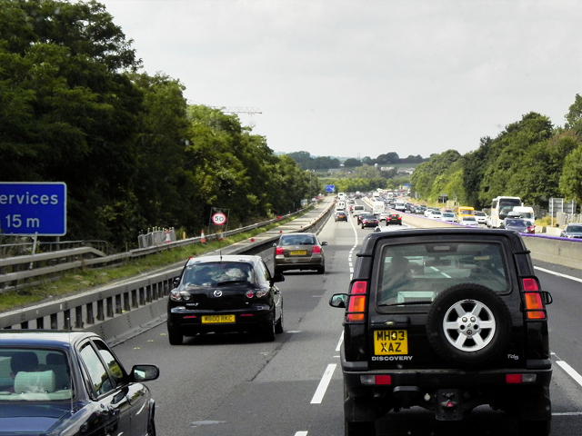
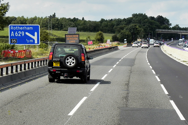
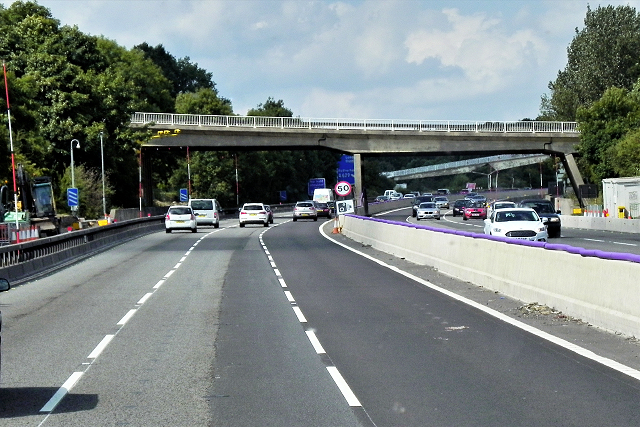
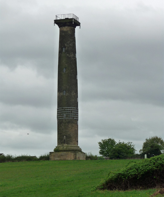
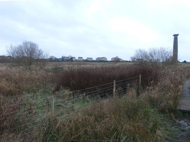
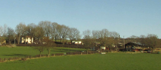
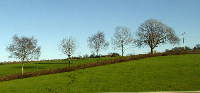
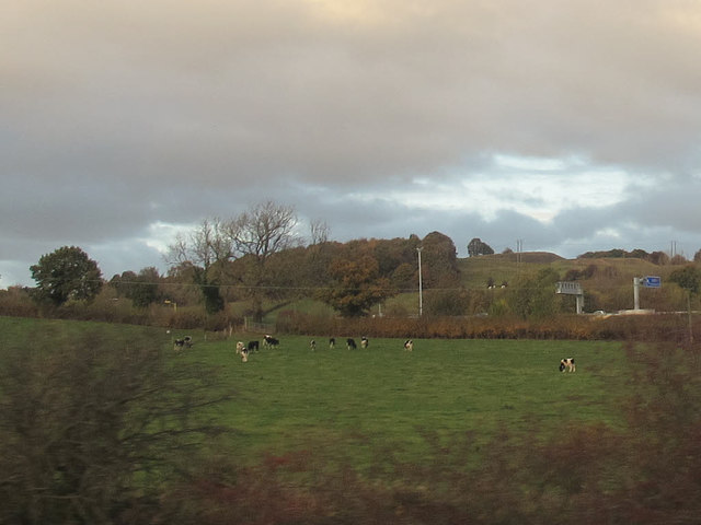
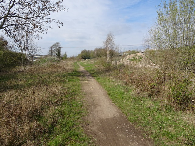
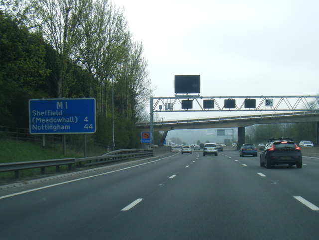
Barber Wood Images

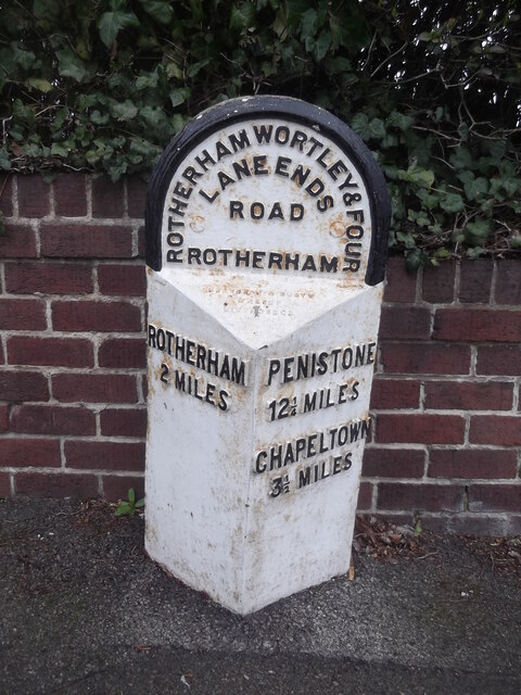
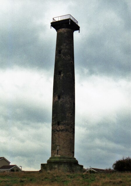
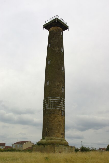
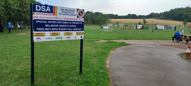
Images are sourced within 2km of 53.436543/-1.4268136 or Grid Reference SK3893. Thanks to Geograph Open Source API. All images are credited.

Old milestone In the contract between the West Riding County Council and Gill & Frank Stead, stonemasons, of Mirfield, six of these milestones were to be erected from this one on the A629, Wortley Road, in Kimberworth to where the route meets the Sheffield to Penistone road, A61.   Rotherham 3 & 4 are now missing with 5, 6 and 7 still in situ.   They were set up in 1893/94.
Old milestone
In the contract between the West Riding County Council and Gill & Frank Stead, stonemasons, of Mirfield, six of these milestones were to be erected from this one on the A629, Wortley Road, in Kimberworth to where the route meets the Sheffield to Penistone road, A61. Rotherham 3 & 4 are now missing with 5, 6 and 7 still in situ. They were set up in 1893/94.
Keppel's Column in 1999 The column before the steel reinforcing bands were applied
Keppel's Column in 1999
The column before the steel reinforcing bands were applied
Keppel's Column A folly for Wentworth Woodhouse, now with strengthening metal 'girdle'
Keppel's Column
A folly for Wentworth Woodhouse, now with strengthening metal 'girdle'
Millmoor Juniors Football Club, Rotherham
Autumn colours, Blackburn Valley Trail, NW of Meadowhall A surprisingly pleasant walkway in what is quite an industrial area.
Autumn colours, Blackburn Valley Trail, NW of Meadowhall
A surprisingly pleasant walkway in what is quite an industrial area.
M1, North of Tinsley The M1 is a north–south motorway connecting London to Leeds, where it joins the A1(M) near Aberford. It was the first motorway to be completed in the United Kingdom.
The motorway is 193 miles long and was constructed in four phases. Most of the motorway was opened between 1959 and 1968 but the southern end was extended in 1977 and the northern end was extended in 1999.
M1, North of Tinsley
The M1 is a north–south motorway connecting London to Leeds, where it joins the A1(M) near Aberford. It was the first motorway to be completed in the United Kingdom. The motorway is 193 miles long and was constructed in four phases. Most of the motorway was opened between 1959 and 1968 but the southern end was extended in 1977 and the northern end was extended in 1999.
M1 near Thundercliffe Grange The M1 is a north–south motorway connecting London to Leeds, where it joins the A1(M) near Aberford. It was the first motorway to be completed in the United Kingdom.
The motorway is 193 miles long and was constructed in four phases. Most of the motorway was opened between 1959 and 1968 but the southern end was extended in 1977 and the northern end was extended in 1999.
M1 near Thundercliffe Grange
The M1 is a north–south motorway connecting London to Leeds, where it joins the A1(M) near Aberford. It was the first motorway to be completed in the United Kingdom. The motorway is 193 miles long and was constructed in four phases. Most of the motorway was opened between 1959 and 1968 but the southern end was extended in 1977 and the northern end was extended in 1999.
Northbound M1, Grange Park The M1 is a north–south motorway connecting London to Leeds, where it joins the A1(M) near Aberford. It was the first motorway to be completed in the United Kingdom.
The motorway is 193 miles long and was constructed in four phases. Most of the motorway was opened between 1959 and 1968 but the southern end was extended in 1977 and the northern end was extended in 1999.
Northbound M1, Grange Park
The M1 is a north–south motorway connecting London to Leeds, where it joins the A1(M) near Aberford. It was the first motorway to be completed in the United Kingdom. The motorway is 193 miles long and was constructed in four phases. Most of the motorway was opened between 1959 and 1968 but the southern end was extended in 1977 and the northern end was extended in 1999.
Northbound M1, Jumble Lane Bridge The M1 is a north–south motorway connecting London to Leeds, where it joins the A1(M) near Aberford. It was the first motorway to be completed in the United Kingdom.
The motorway is 193 miles long and was constructed in four phases. Most of the motorway was opened between 1959 and 1968 but the southern end was extended in 1977 and the northern end was extended in 1999.
Northbound M1, Jumble Lane Bridge
The M1 is a north–south motorway connecting London to Leeds, where it joins the A1(M) near Aberford. It was the first motorway to be completed in the United Kingdom. The motorway is 193 miles long and was constructed in four phases. Most of the motorway was opened between 1959 and 1968 but the southern end was extended in 1977 and the northern end was extended in 1999.
Keppel's Column near Thorpe Hesley One of the umpteen Wentworth monuments. By John Carr, 1778, "in memory of the acquittal at his court martial of Lord Rockingham's friend Admiral Keppel". For an account of the pronounced entasis, see here: <a href="https://www.geograph.org.uk/photo/2713386">SK3894 : Keppel's Column</a>. Grade II* listed.
Keppel's Column near Thorpe Hesley
One of the umpteen Wentworth monuments. By John Carr, 1778, "in memory of the acquittal at his court martial of Lord Rockingham's friend Admiral Keppel". For an account of the pronounced entasis, see here: SK3894 : Keppel's Column. Grade II* listed.
Common Land near Kimberworth Park View from the bridleway to Scholes Coppice which cuts across the north western corner of this square. Keppel's Column on the right of picture is situated in SK3894.
Common Land near Kimberworth Park
View from the bridleway to Scholes Coppice which cuts across the north western corner of this square. Keppel's Column on the right of picture is situated in SK3894.
Upper Wortley Road in Rotherham Pictured as Storm Barbara was moving into the area. This turned out to be a fairly benign pre-xmas weather system.
Upper Wortley Road in Rotherham
Pictured as Storm Barbara was moving into the area. This turned out to be a fairly benign pre-xmas weather system.
Rainstorth House And outbuildings, seen from the M1.
Rainstorth House
And outbuildings, seen from the M1.
Trees near Rainstorth House Trees along a field boundary, seen from the M1.
Trees near Rainstorth House
Trees along a field boundary, seen from the M1.
Cows near the motorway Seen from a passing train.
Cows near the motorway
Seen from a passing train.
Ecclesfield East railway station (site), Yorkshire Opened in 1876 by the Manchester Sheffield & Lincolnshire Railway on the Blackburn Valley line from Sheffield Victoria to Barnsley (Stairfoot), this station closed to passengers in 1953 and completely in 1954.
View north towards Chapeltown (Central) and Barnsley from the former track-bed. Brickwork for the former Sheffield-bound platform is extant in the undergrowth to the right. The area was derelict when this image was taken.
Ecclesfield East railway station (site), Yorkshire
Opened in 1876 by the Manchester Sheffield & Lincolnshire Railway on the Blackburn Valley line from Sheffield Victoria to Barnsley (Stairfoot), this station closed to passengers in 1953 and completely in 1954. View north towards Chapeltown (Central) and Barnsley from the former track-bed. Brickwork for the former Sheffield-bound platform is extant in the undergrowth to the right. The area was derelict when this image was taken.
M1 southbound nearing Jumble Lane overbridge
M1 west of Thundercliffe Grange
Show me another place!

Barber Wood is located at Grid Ref: SK3893 (Lat: 53.436543, Lng: -1.4268136)

Division: West Riding

Unitary Authority: Rotherham

Police Authority: South Yorkshire

What 3 Words

///than.cages.wishes. Near Chapeltown, South Yorkshire

Nearby Locations

Walkworth Wood Barber Wood

Related Wikis

Grange Lane railway station (South Yorkshire)

Grange Lane railway station was a railway station located on the South Yorkshire Railway line between Sheffield and Barnsley in South Yorkshire, England...

Concord Park

Concord Park is a large park in the North of Sheffield, England, between Shiregreen and Wincobank. The park consists of Concord Park Golf Course, a country...

Abbey School, Rotherham

Abbey School is a mixed special school for children with moderate and complex learning difficulties. It is located in Kimberworth, South Yorkshire, England...

Meadow Hall and Wincobank railway station

Meadowhall and Wincobank railway station—also known in the 19th century as Meadow Hall at the time of the Meadow Hall Iron Works—was a railway station...

Nearby Amenities

Located within 500m of 53.436543,-1.4268136
Barrier: kissing_gate
Lat/Long: 53.4401091/-1.4298294
Board Type: history
Information: board
Tourism: information
Lat/Long: 53.4377805/-1.4295347
Board Type: history
Information: board
Tourism: information
Lat/Long: 53.4386385/-1.424417
Bench
Backrest: no
Lat/Long: 53.4378083/-1.4237517
Bench
Backrest: no
Lat/Long: 53.4393666/-1.4239702
Speed Camera
Maxspeed: 70 mph
Lat/Long: 53.4342224/-1.4271792
Natural: spring
Lat/Long: 53.4347631/-1.4238998
The data included in this document is from www.openstreetmap.org. The data is made available under ODbL.

Have you been to Barber Wood?

Leave your review of Barber Wood below (or comments, questions and feedback).