Laurel Wood

Wood, Forest in Oxfordshire West Oxfordshire

England

Laurel Wood

Aunt Sally behind the Pavilion Here in Oxfordshire we are in the heartland of the traditional pub game Aunt Sally.
These suspended backdrops can be seen wherever the game is played, in pub gardens and back yards all over the south midlands, especially in village pubs and the more "local" type ones in towns.
The rules are on <span class="nowrap"><a title="https://en.wikipedia.org/wiki/Aunt_Sally" rel="nofollow ugc noopener" href="https://en.wikipedia.org/wiki/Aunt_Sally">Link</a><img style="margin-left:2px;" alt="External link" title="External link - shift click to open in new window" src="https://s1.geograph.org.uk/img/external.png" width="10" height="10"/></span> . 
It's not as easy as you might think.
This is behind the pavilion on Enstone recreation ground.
Aunt Sally behind the Pavilion Credit: Des Blenkinsopp

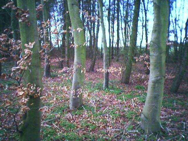
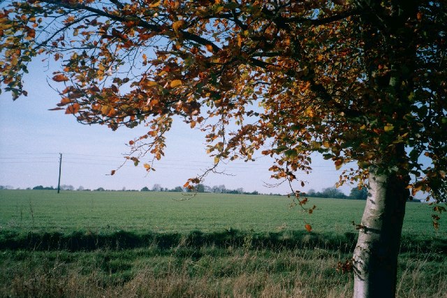
Laurel Wood, located in Oxfordshire, England, is a picturesque forest area that spans over several acres of land. This enchanting woodland is a popular destination for nature enthusiasts and outdoor adventurers alike.

The wood is characterized by its dense foliage, consisting mainly of laurel trees, which provide the area with a unique and tranquil atmosphere. The lush greenery and the soothing sound of leaves rustling in the wind make Laurel Wood an ideal escape from the hustle and bustle of city life.

The forest is home to a diverse range of flora and fauna, with an abundance of native wildlife. Visitors may observe various bird species, such as woodpeckers and owls, as well as small mammals like squirrels and rabbits. Additionally, the wood is known for its vibrant wildflower displays during the spring and summer months, adding bursts of color to the already scenic landscape.

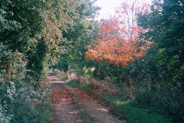
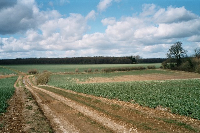
Laurel Wood offers a network of well-maintained walking trails, providing visitors with the opportunity to explore its natural beauty at their leisure. These paths wind through the forest, offering breathtaking views and glimpses of wildlife along the way. Nature enthusiasts may also find secluded spots perfect for birdwatching, photography, or simply enjoying a peaceful picnic.

The wood is easily accessible by car or public transportation, with ample parking facilities available nearby. Whether for a leisurely stroll, a family outing, or an adventurous hike, Laurel Wood offers a serene and captivating experience for all who visit.

If you have any feedback on the listing, please let us know in the comments section below.
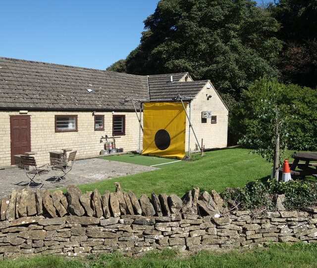
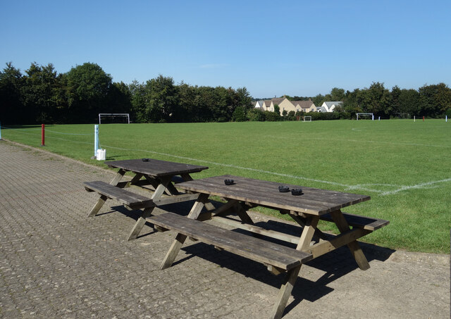
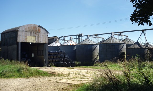
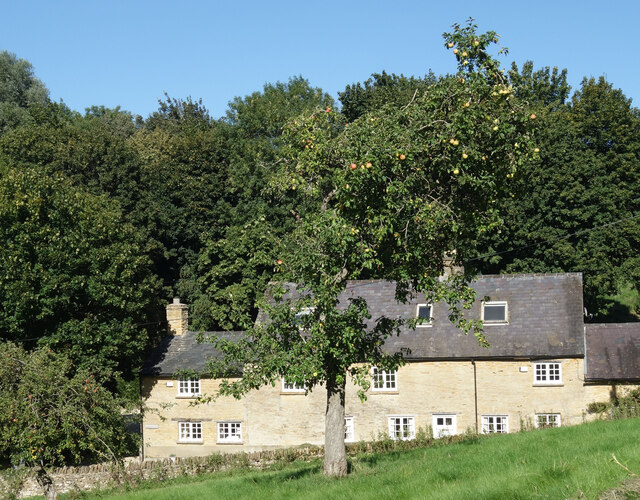
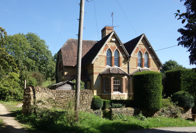
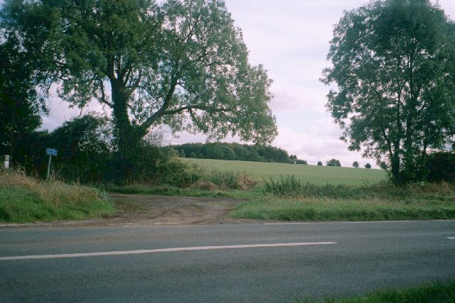
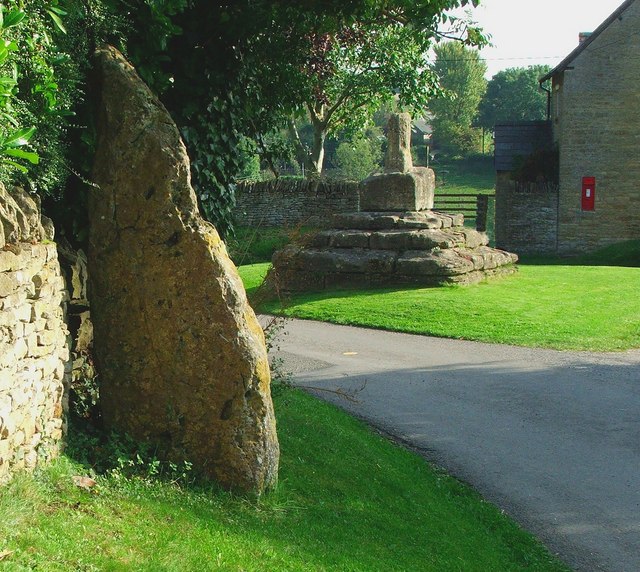
Laurel Wood Images

Images are sourced within 2km of 51.895524/-1.4497878 or Grid Reference SP3722. Thanks to Geograph Open Source API. All images are credited.

Aunt Sally behind the Pavilion Here in Oxfordshire we are in the heartland of the traditional pub game Aunt Sally.
These suspended backdrops can be seen wherever the game is played, in pub gardens and back yards all over the south midlands, especially in village pubs and the more "local" type ones in towns.
The rules are on <span class="nowrap"><a title="https://en.wikipedia.org/wiki/Aunt_Sally" rel="nofollow ugc noopener" href="https://en.wikipedia.org/wiki/Aunt_Sally">Link</a><img style="margin-left:2px;" alt="External link" title="External link - shift click to open in new window" src="https://s1.geograph.org.uk/img/external.png" width="10" height="10"/></span> . 
It's not as easy as you might think.
This is behind the pavilion on Enstone recreation ground.
Aunt Sally behind the Pavilion
Here in Oxfordshire we are in the heartland of the traditional pub game Aunt Sally. These suspended backdrops can be seen wherever the game is played, in pub gardens and back yards all over the south midlands, especially in village pubs and the more "local" type ones in towns. The rules are on LinkExternal link . It's not as easy as you might think. This is behind the pavilion on Enstone recreation ground.
Enstone Playing Field From outside the pavilion.
Enstone Playing Field
From outside the pavilion.
Barn, Bales and Silos, Fulwell Farm
The Hoar Stone In a small wooded enclosure by a cross roads stand the remains of a Neolithic burial chamber.
The Hoar Stone
In a small wooded enclosure by a cross roads stand the remains of a Neolithic burial chamber.
Bridleway to Litchfield Farm Stubble to the left, oats to the right.
SP3623 is a bland, 100% farmland square.
Bridleway to Litchfield Farm
Stubble to the left, oats to the right. SP3623 is a bland, 100% farmland square.
Cables turn a Corner Overhead cables do a right angle change of direction here so extra support for the post is required.
Cables turn a Corner
Overhead cables do a right angle change of direction here so extra support for the post is required.
The Salt Way Now also part of the Wychwood Way long distance path, the Salt Way is an ancient route from when salt, a valuable commodity, was transported all over the country by wagon or packhorse. <span class="nowrap"><a title="https://www.saltwayactivitygroup.org.uk/history" rel="nofollow ugc noopener" href="https://www.saltwayactivitygroup.org.uk/history">Link</a><img style="margin-left:2px;" alt="External link" title="External link - shift click to open in new window" src="https://s1.geograph.org.uk/img/external.png" width="10" height="10"/></span>
The Salt Way
Now also part of the Wychwood Way long distance path, the Salt Way is an ancient route from when salt, a valuable commodity, was transported all over the country by wagon or packhorse. LinkExternal link
Field full of Sunflowers A colourful crop growing near Taston.
Field full of Sunflowers
A colourful crop growing near Taston.
Lower Farmhouse, Taston One of the houses in the hamlet of Taston, with a very tall and rather lopsided apple tree in front.
Lower Farmhouse, Taston
One of the houses in the hamlet of Taston, with a very tall and rather lopsided apple tree in front.
Houses in Taston Semi detached houses with arched windows and decorative red brickwork.
Noticeably different from the usual style of Cotswold village housing.
Houses in Taston
Semi detached houses with arched windows and decorative red brickwork. Noticeably different from the usual style of Cotswold village housing.
Fishing into the Wind On a barn roof in Taston. 
Another of the many different subjects represented on wind vanes.
A calm day today, so no idea if this one is accurate.
Fishing into the Wind
On a barn roof in Taston. Another of the many different subjects represented on wind vanes. A calm day today, so no idea if this one is accurate.
Pintle Stripe near Charlbury Pintle Stripe is a thin lengthy copse on the Hundley Way track near Charlbury in Oxfordshire.
Pintle Stripe near Charlbury
Pintle Stripe is a thin lengthy copse on the Hundley Way track near Charlbury in Oxfordshire.
Unsuitable for motors This image is taken facing east across the B4022 from Charlbury to Enstone, up a minor road marked 'Unsuitable for motors' (the blue sign on the left of the image) which becomes a track going south-east towards Stonesfield: <a href="https://www.geograph.org.uk/photo/85427">SP3721 : Track near Norman's Grove</a> is about half a mile away in this direction. Going west, another minor road runs this crossroads to Taston <a href="https://www.geograph.org.uk/gridref/SP3522">SP3522</a>: this is suitable for motors, although only just.
Unsuitable for motors
This image is taken facing east across the B4022 from Charlbury to Enstone, up a minor road marked 'Unsuitable for motors' (the blue sign on the left of the image) which becomes a track going south-east towards Stonesfield: SP3721 : Track near Norman's Grove is about half a mile away in this direction. Going west, another minor road runs this crossroads to Taston SP3522: this is suitable for motors, although only just.
Track near Norman's Grove This wide track leads east to a junction with the B4022 <a href="https://www.geograph.org.uk/photo/85424">SP3621 : Unsuitable for motors</a> and south-east towards Stonesfield: <a href="https://www.geograph.org.uk/photo/85434">SP3820 : Tree, track and field</a> is taken about a mile in this direction.
Track near Norman's Grove
This wide track leads east to a junction with the B4022 SP3621 : Unsuitable for motors and south-east towards Stonesfield: SP3820 : Tree, track and field is taken about a mile in this direction.
Tree, track and field This image is taken facing west from the side of a track that runs from the B4022 <a href="https://www.geograph.org.uk/photo/85424">SP3621 : Unsuitable for motors</a>, south-east to <a href="https://www.geograph.org.uk/photo/85427">SP3721 : Track near Norman's Grove</a>, then past an entrance to Ditchley Park, which is a few hundred yards north of this point. It then continues towards Stonesfield. The next image, just south of Dustfield Farm, is <a href="https://www.geograph.org.uk/photo/85436">SP3819 : Tree and Ash Copse</a>.
Tree, track and field
This image is taken facing west from the side of a track that runs from the B4022 SP3621 : Unsuitable for motors, south-east to SP3721 : Track near Norman's Grove, then past an entrance to Ditchley Park, which is a few hundred yards north of this point. It then continues towards Stonesfield. The next image, just south of Dustfield Farm, is SP3819 : Tree and Ash Copse.
Track in Ditchley Park On the horizon is Shilcott Wood. These fields are almost entirely enclosed by woodland on the Ditchley Park estate. The main buildings of Ditchley <a href="https://www.geograph.org.uk/photo/151540">SP3921 : Ditchley</a> are just a few hundred yards east, but hidden by woods and the lie of the land.
Track in Ditchley Park
On the horizon is Shilcott Wood. These fields are almost entirely enclosed by woodland on the Ditchley Park estate. The main buildings of Ditchley SP3921 : Ditchley are just a few hundred yards east, but hidden by woods and the lie of the land.
Avenue of trees leading to Ditchley This half-mile avenue of trees points towards Ditchley <a href="https://www.geograph.org.uk/photo/151540">SP3921 : Ditchley</a>, which is visible on the horizon. The path is part of Shakespeare's Way, officially opened on 19 April 2006, which goes from the Globe theatre in London to the Royal Shakespeare Theatre in Stratford-upon-Avon. More information from its official web-site <span class="nowrap"><a title="http://www.shakespearesway.org/" rel="nofollow ugc noopener" href="http://www.shakespearesway.org/">Link</a><img style="margin-left:2px;" alt="External link" title="External link - shift click to open in new window" src="https://s1.geograph.org.uk/img/external.png" width="10" height="10"/></span> or from this Telegraph article: <span class="nowrap"><a title="http://www.telegraph.co.uk/news/main.jhtml?xml=/news/2006/04/19/nwalk19.xml&sSheet=/news/2006/04/19/ixhome.html" rel="nofollow ugc noopener" href="http://www.telegraph.co.uk/news/main.jhtml?xml=/news/2006/04/19/nwalk19.xml&sSheet=/news/2006/04/19/ixhome.html">Link</a><img style="margin-left:2px;" alt="External link" title="External link - shift click to open in new window" src="https://s1.geograph.org.uk/img/external.png" width="10" height="10"/></span>
Avenue of trees leading to Ditchley
This half-mile avenue of trees points towards Ditchley SP3921 : Ditchley, which is visible on the horizon. The path is part of Shakespeare's Way, officially opened on 19 April 2006, which goes from the Globe theatre in London to the Royal Shakespeare Theatre in Stratford-upon-Avon. More information from its official web-site LinkExternal link or from this Telegraph article: LinkExternal link
Ditchley Work on Ditchley started around 1720, replacing a timber house which had once hosted an entertainment for Queen Elizabeth I in 1592. The current mansion was designed by James Gibb in the Palladian style, and takes up three pages of the Pevsner guide to Oxfordshire. It is home to the Ditchley Foundations <span class="nowrap"><a title="http://www.ditchley.co.uk/" rel="nofollow ugc noopener" href="http://www.ditchley.co.uk/">Link</a><img style="margin-left:2px;" alt="External link" title="External link - shift click to open in new window" src="https://s1.geograph.org.uk/img/external.png" width="10" height="10"/></span> and hosts high-powered conferences on international affairs. At other times, the house is open to bookings for groups of visitors. Rights of way go near, but not right up, to the house. Its grounds, Ditchley Park, are mostly woodland and fields rather than formal gardens, but one exception is the avenue of trees to the south-east: <a href="https://www.geograph.org.uk/photo/151536">SP3920 : Avenue of trees leading to Ditchley</a>
Ditchley
Work on Ditchley started around 1720, replacing a timber house which had once hosted an entertainment for Queen Elizabeth I in 1592. The current mansion was designed by James Gibb in the Palladian style, and takes up three pages of the Pevsner guide to Oxfordshire. It is home to the Ditchley Foundations LinkExternal link and hosts high-powered conferences on international affairs. At other times, the house is open to bookings for groups of visitors. Rights of way go near, but not right up, to the house. Its grounds, Ditchley Park, are mostly woodland and fields rather than formal gardens, but one exception is the avenue of trees to the south-east: SP3920 : Avenue of trees leading to Ditchley
Show me another place!

Laurel Wood is located at Grid Ref: SP3722 (Lat: 51.895524, Lng: -1.4497878)

Administrative County: Oxfordshire

District: West Oxfordshire

Police Authority: Thames Valley

What 3 Words

///vital.spray.executive. Near Charlbury, Oxfordshire

Related Wikis

Fulwell, Oxfordshire

Fulwell is a hamlet in the civil parish of Enstone in Oxfordshire, England. It lies about 4.5 miles (7 km) southeast of Chipping Norton. Fulwell's toponym...
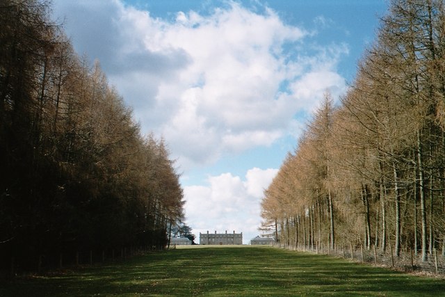
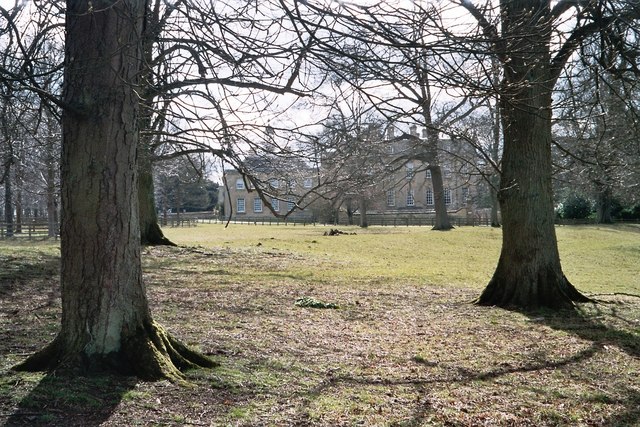
Ditchley Park

Ditchley Park is a country house near Charlbury in Oxfordshire, England. The estate was once the site of a Roman villa. Later it became a royal hunting...

Taston

Taston is a hamlet in Spelsbury civil parish, about 1.6 miles (2.6 km) north of Charlbury and 4 miles (6.4 km) southeast of Chipping Norton, Oxfordshire...

Asterleigh

Asterleigh, sometimes in the past called Esterley, is a farm and deserted medieval village about 3 miles (4.8 km) northeast of Charlbury in Oxfordshire...

Have you been to Laurel Wood?

Leave your review of Laurel Wood below (or comments, questions and feedback).