Oldlands Copse
Wood, Forest in Berkshire
England
Oldlands Copse
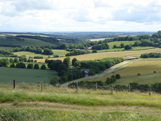
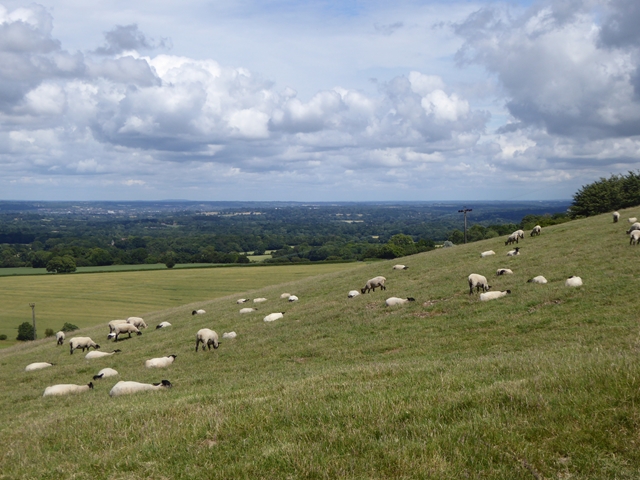
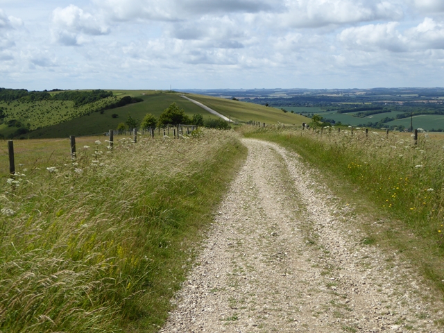
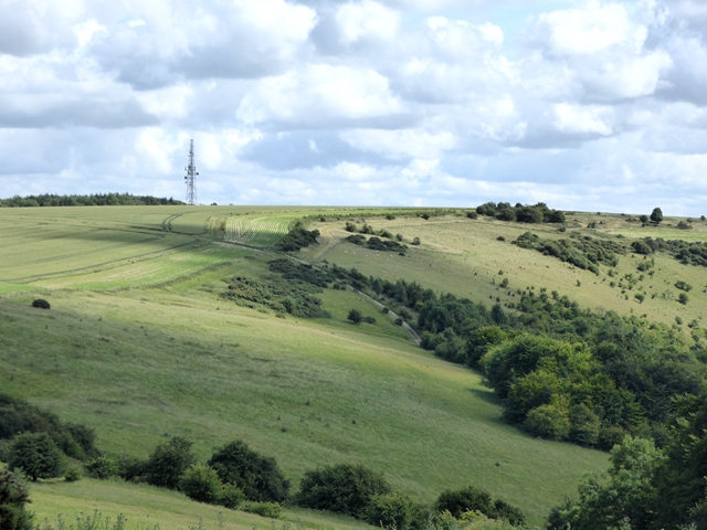
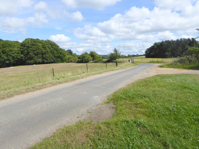
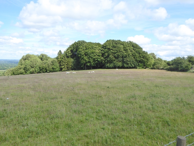
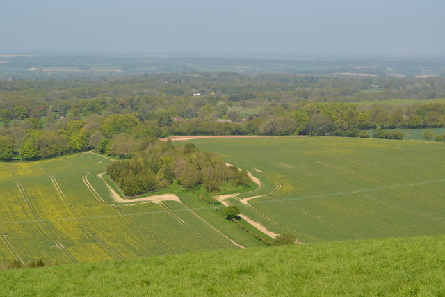
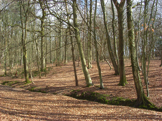
Oldlands Copse is a small woodland located in Berkshire, England. This ancient forest is a popular destination for nature enthusiasts and hikers looking to escape the hustle and bustle of urban life. The copse is home to a variety of wildlife, including deer, birds, and small mammals, making it a haven for animal lovers.
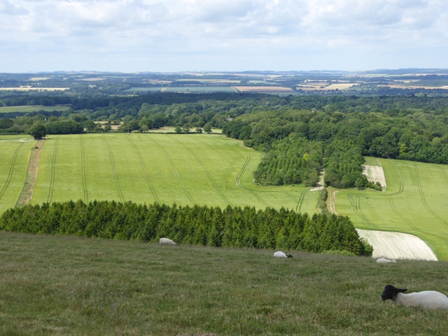
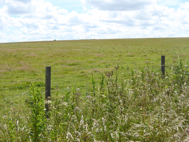
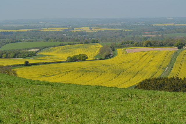
The woodland itself is characterized by a mix of deciduous and coniferous trees, creating a diverse and vibrant ecosystem. Visitors can expect to see oak, beech, and pine trees, as well as ferns, mosses, and other undergrowth typical of a British woodland.
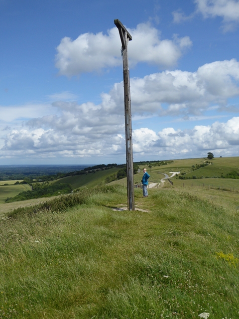
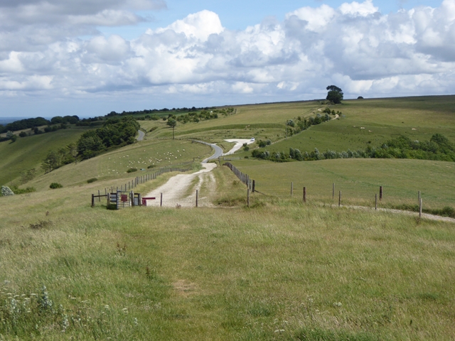
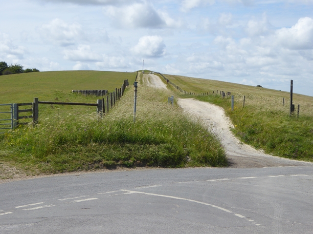
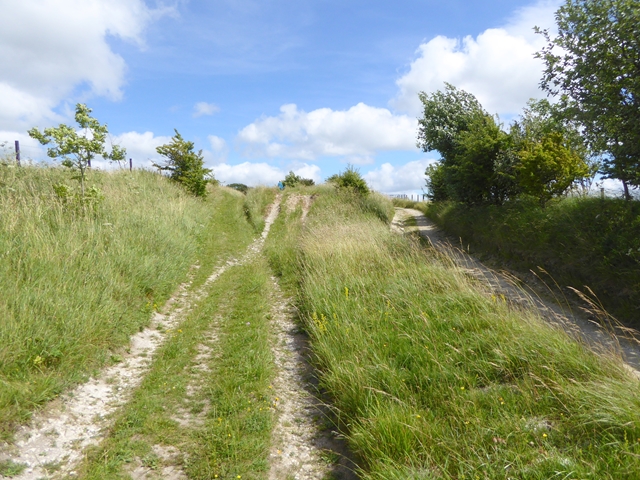
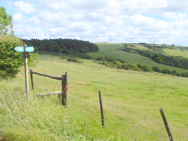
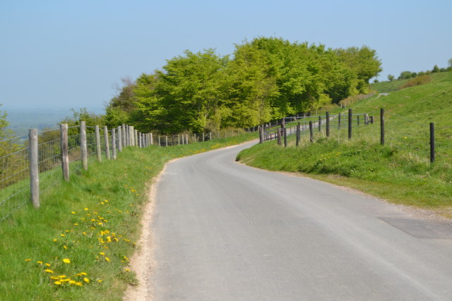
Oldlands Copse offers several walking trails and footpaths for visitors to explore, allowing them to immerse themselves in the peaceful surroundings of the forest. The serene atmosphere of the copse makes it an ideal spot for picnics, birdwatching, and photography.
Overall, Oldlands Copse is a hidden gem in Berkshire, providing a tranquil escape for those looking to connect with nature and enjoy the beauty of the British countryside.
If you have any feedback on the listing, please let us know in the comments section below.
Oldlands Copse Images
Images are sourced within 2km of 51.363311/-1.4583691 or Grid Reference SU3762. Thanks to Geograph Open Source API. All images are credited.

Oldlands Copse is located at Grid Ref: SU3762 (Lat: 51.363311, Lng: -1.4583691)
Unitary Authority: West Berkshire
Police Authority: Thames Valley
What 3 Words
///denser.intervene.asserts. Near Kintbury, Berkshire
Nearby Locations
Related Wikis
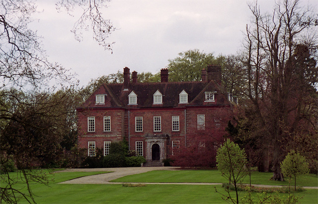
West Woodhay House
West Woodhay House is a Grade I listed building in the parish of West Woodhay, West Berkshire, UK. == History and description == The house was erected...
Inkpen Common
Inkpen Common is a hamlet and former common in the English county of Berkshire, within the civil parish of Inkpen. The settlement lies south of the A4...

Walbury Hill
Walbury Hill is a summit of the North Wessex Downs in Berkshire, England. With an elevation of 297 metres (974 ft), it is the highest natural point in...
Inkpen Common SSSI
Inkpen Common or Inkpen Great Common is a 12.8-hectare (32-acre) biological Site of Special Scientific Interest east of Inkpen in Berkshire. It is managed...
Nearby Amenities
Located within 500m of 51.363311,-1.4583691Have you been to Oldlands Copse?
Leave your review of Oldlands Copse below (or comments, questions and feedback).