Cradock's Covert

Wood, Forest in Leicestershire Hinckley and Bosworth

England

Cradock's Covert

Carlton Bridge, Ashby Canal Bridge 44 is about half a mile west of Carlton village surrounded by peaceful countryside.
Carlton Bridge, Ashby Canal Credit: Stephen McKay

Cradock's Covert is a picturesque woodland area located in Leicestershire, England. Situated in the heart of the county, it covers an expansive area of approximately 100 hectares. The woodland is part of a larger forest complex and is renowned for its natural beauty and diverse ecosystem.

The covert is primarily composed of broadleaf trees, including oak, beech, and ash, which create a dense canopy overhead. This canopy provides a habitat for a variety of wildlife, including numerous bird species such as woodpeckers, owls, and warblers. Additionally, the woodland is home to mammals like deer, foxes, and badgers, which can often be spotted roaming through the forest.

Walking through Cradock's Covert, visitors can enjoy a network of well-maintained footpaths that wind through the woodland, offering stunning views of the surrounding nature. The peaceful ambiance of the covert provides an excellent opportunity for nature lovers to immerse themselves in the tranquility of the forest and observe its inhabitants.

The woodland is also notable for its historical significance. It is believed to have been part of the ancient Forest of Charnwood, which dates back centuries. The area has been carefully managed to preserve its natural heritage and biodiversity, making it an important site for conservation in the region.

Whether it is for a leisurely stroll, birdwatching, or simply enjoying the serene atmosphere, Cradock's Covert offers visitors a chance to connect with nature and experience the beauty of Leicestershire's woodlands.

If you have any feedback on the listing, please let us know in the comments section below.

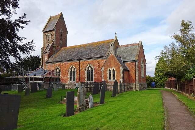
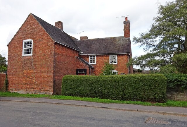
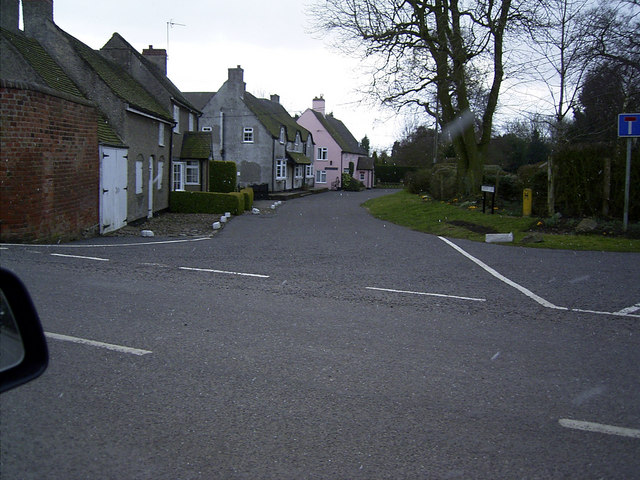
Cradock's Covert Images

Images are sourced within 2km of 52.641961/-1.4444042 or Grid Reference SK3705. Thanks to Geograph Open Source API. All images are credited.

Carlton Bridge, Ashby Canal Bridge 44 is about half a mile west of Carlton village surrounded by peaceful countryside.
Carlton Bridge, Ashby Canal
Bridge 44 is about half a mile west of Carlton village surrounded by peaceful countryside.
Carlton Bridge, Ashby Canal The northern stretch of the Ashby Canal, from here at bridge 44 to the end at Snarestone, is designated a Site of Special Scientific Interest (SSSI). Users are advised of this by the blue Canal & River trust sign. The SSSI covers just over six miles of waterway and is designated because of the diversity of aquatic plants and insect life. Nine species of dragonfly have been recorded here.
Carlton Bridge, Ashby Canal
The northern stretch of the Ashby Canal, from here at bridge 44 to the end at Snarestone, is designated a Site of Special Scientific Interest (SSSI). Users are advised of this by the blue Canal & River trust sign. The SSSI covers just over six miles of waterway and is designated because of the diversity of aquatic plants and insect life. Nine species of dragonfly have been recorded here.
Ashby Canal from Carlton Bridge The light is beginning to fade on a summer evening where the Ashby Canal curls through the Leicestershire countryside west of Carlton.
Ashby Canal from Carlton Bridge
The light is beginning to fade on a summer evening where the Ashby Canal curls through the Leicestershire countryside west of Carlton.
Ashby Canal, near Carlton Seen in the evening light, a line of narrowboats is moored on this stretch of the Ashby Canal just round the bend from Carlton Bridge.
Ashby Canal, near Carlton
Seen in the evening light, a line of narrowboats is moored on this stretch of the Ashby Canal just round the bend from Carlton Bridge.
Fairfield Bridge, Ashby Canal Bridge 46 on the canal carries a track leading south from Bosworth Road to Robies Gorse Farm.
Fairfield Bridge, Ashby Canal
Bridge 46 on the canal carries a track leading south from Bosworth Road to Robies Gorse Farm.
Approaching Congerstone Bridge, Ashby Canal A member of the Rose Narrowboats hire fleet is moored on the bend approaching Congerston Bridge, no 47 on the canal (counting up from Marston Junction).
Approaching Congerstone Bridge, Ashby Canal
A member of the Rose Narrowboats hire fleet is moored on the bend approaching Congerston Bridge, no 47 on the canal (counting up from Marston Junction).
Dakins Bridge, Ashby Canal Dakins Bridge, no 48 on the Ashby Canal, is a farm accommodation bridge just to the east of Congerstone village.
Dakins Bridge, Ashby Canal
Dakins Bridge, no 48 on the Ashby Canal, is a farm accommodation bridge just to the east of Congerstone village.
Terrace Bridge, Ashby Canal Terrace Bridge, no 49 on the Ashby Canal, carries a track which is a continuation of Poplar Terrace.
Terrace Bridge, Ashby Canal
Terrace Bridge, no 49 on the Ashby Canal, carries a track which is a continuation of Poplar Terrace.
Bates Bridge, Ashby Canal Bates Bridge, no 50 on the Ashby Canal, is one of two with the Bates name - the other being bridge 51, Bates Wharf Bridge, slightly further north.
Bates Bridge, Ashby Canal
Bates Bridge, no 50 on the Ashby Canal, is one of two with the Bates name - the other being bridge 51, Bates Wharf Bridge, slightly further north.
Bates Wharf Bridge, Ashby Canal Bates Wharf Bridge, no 51 on the Ashby Canal, carries Barton Lane (the road from Congerstone to Barton in the Beans). The sign on the parapet advertises the Rising Sun at Shackerstone.
Bates Wharf Bridge, Ashby Canal
Bates Wharf Bridge, no 51 on the Ashby Canal, carries Barton Lane (the road from Congerstone to Barton in the Beans). The sign on the parapet advertises the Rising Sun at Shackerstone.
Turn Bridge, Ashby Canal Bridge 52 is at the eastern end of Shackerstone village and the red sign advertises the nearby Rising Sun pub. Here the towpath changes side; having been on the western side of the canal from Marston Junction it continues on the eastern side to the end of navigation at Snarestone.
Turn Bridge, Ashby Canal
Bridge 52 is at the eastern end of Shackerstone village and the red sign advertises the nearby Rising Sun pub. Here the towpath changes side; having been on the western side of the canal from Marston Junction it continues on the eastern side to the end of navigation at Snarestone.
Ashby Canal, Shackerstone An early evening view along the Ashby Canal from Turn Bridge. Wharf Farm is on the left.
Ashby Canal, Shackerstone
An early evening view along the Ashby Canal from Turn Bridge. Wharf Farm is on the left.
Shackerstone Station - footbridge The footbridge at Shackerstone - at the northern end of the Battlefield Line - is actually part of a footpath and does not give access to railway infrastructure.
Shackerstone Station - footbridge
The footbridge at Shackerstone - at the northern end of the Battlefield Line - is actually part of a footpath and does not give access to railway infrastructure.
Shackerstone Railway Station Heritage Battlefield Line Railway.
Shackerstone Railway Station
Heritage Battlefield Line Railway.
Carlton Church Saint Andrew.
Carlton Church
Saint Andrew.
Carlton-Manor House Farm On Main Street.
Carlton-Manor House Farm
On Main Street.
Shackerstone Station Throat On the heritage Battlefield Line
Shackerstone Station Throat
On the heritage Battlefield Line
Railway bridge carrying the Battlefield Line. The Battlefield Line is a heritage railway using the route that was once jointly operated by the London and North Western Railway, and the Midland Railway.
The road is west of the village of Carlton and must be subject to flooding; there's a flood 'ruler' at the depression beneath the bridge indicating a possible water depth above six feet!
Railway bridge carrying the Battlefield Line.
The Battlefield Line is a heritage railway using the route that was once jointly operated by the London and North Western Railway, and the Midland Railway. The road is west of the village of Carlton and must be subject to flooding; there's a flood 'ruler' at the depression beneath the bridge indicating a possible water depth above six feet!
Show me another place!

Cradock's Covert is located at Grid Ref: SK3705 (Lat: 52.641961, Lng: -1.4444042)

Administrative County: Leicestershire

District: Hinckley and Bosworth

Police Authority: Leicestershire

What 3 Words

///teamed.equipping.submerged. Near Market Bosworth, Leicestershire

Nearby Locations

Cradock's Covert

Related Wikis

Congerstone

Congerstone () is a village and former civil parish, now in the parish of Shackerstone, in the Hinckley and Bosworth district, in Leicestershire, England...

Shackerstone

Shackerstone is a village and civil parish in the Hinckley and Bosworth district of Leicestershire, England. It is situated on the Ashby-de-la-Zouch Canal...

Bilstone

Bilstone is a small village and former civil parish, now in the parish of Shackerstone, in the Hinckley and Bosworth district of Leicestershire, England...

Shackerstone railway station

Shackerstone railway station is a preserved railway station and heritage museum in Leicestershire, Central England. It is the terminus and the headquarters...

Carlton, Leicestershire

Carlton is a small rural parish located East of the river Sence in Leicestershire, England, around 2.2 miles North of Market Bosworth. According to the...

Odstone

Odstone is a hamlet and former civil parish, now in the parish of Shackerstone, in the Hinckley and Bosworth district of Leicestershire, England. It stands...

Barton in the Beans

Barton in the Beans is a hamlet and former civil parish, now in the parish of Shackerstone, in the Hinckley and Bosworth district of Leicestershire, England...

Market Bosworth railway station

Market Bosworth railway station is a former stop on the London and North Western Railway and the Midland Railway, who jointly operated the line between...

Have you been to Cradock's Covert?

Leave your review of Cradock's Covert below (or comments, questions and feedback).