Wappenbury Wood

Wood, Forest in Warwickshire Warwick

England

Wappenbury Wood

Outskirts of Weston under Wetherley Most of the village is off to the left at the junction ahead.
Outskirts of Weston under Wetherley Credit: Robin Webster

Wappenbury Wood is a beautiful woodland area located in Warwickshire, England. It covers an area of approximately 150 acres and is known for its diverse range of flora and fauna. The wood is situated near the village of Wappenbury, which is nestled in the heart of the Warwickshire countryside.

The wood is predominantly made up of broadleaf trees, including oak, beech, and ash, which create a dense and vibrant canopy. These trees provide shelter and habitat for a wide variety of wildlife, including birds, mammals, and insects. Visitors to Wappenbury Wood may be lucky enough to spot species such as woodpeckers, deer, and butterflies.

There are several walking trails that wind their way through the wood, providing visitors with the opportunity to explore its enchanting beauty. These trails vary in length and difficulty, catering to both casual strollers and more avid hikers. The paths are well-maintained and signposted, ensuring visitors can navigate easily and safely through the wood.

Wappenbury Wood is not only a haven for wildlife but also a place of historical significance. The wood contains remnants of ancient earthworks, suggesting that it has been inhabited for centuries. These archaeological features add an extra layer of intrigue to the woodland and provide a glimpse into its rich past.

Overall, Wappenbury Wood is a stunning natural treasure in Warwickshire, offering visitors a chance to immerse themselves in the tranquility of nature while also experiencing its historical and ecological wonders.

If you have any feedback on the listing, please let us know in the comments section below.

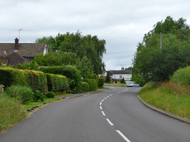
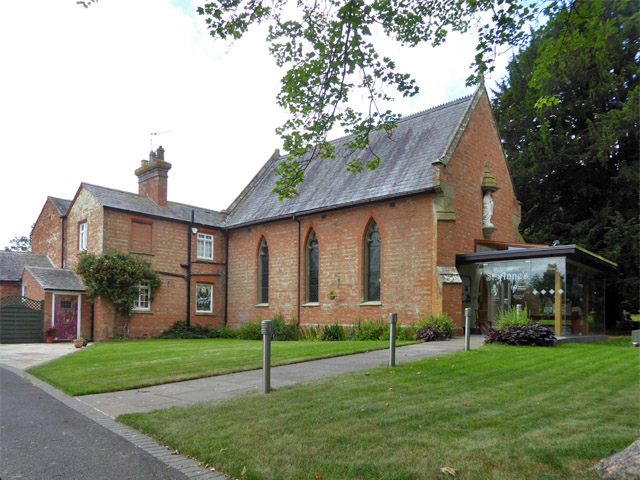
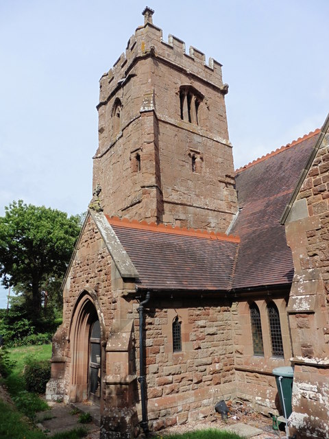
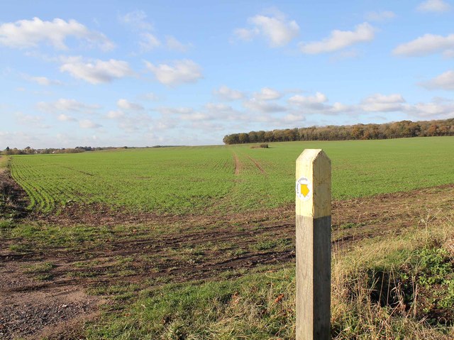
Wappenbury Wood Images

Images are sourced within 2km of 52.335416/-1.449602 or Grid Reference SP3770. Thanks to Geograph Open Source API. All images are credited.

Outskirts of Weston under Wetherley Most of the village is off to the left at the junction ahead.
Outskirts of Weston under Wetherley
Most of the village is off to the left at the junction ahead.
Wappenbury Roman Catholic church St. Anne's is administered by the Missionaries of the Sacred Heart, I think it says on the glass porch.
Wappenbury Roman Catholic church
St. Anne's is administered by the Missionaries of the Sacred Heart, I think it says on the glass porch.
Wappenbury Church
Wappenbury Church
Wappenbury, Warwickshire, St John the Baptist
Farm buildings by the road from Wappenbury to Eathorpe
Wappenbury Chapel Roman Catholic Chapel dating from 1849.
Wappenbury Chapel
Roman Catholic Chapel dating from 1849.
Wappenbury Bridleway Footbridge over the River Leam on the bridleway to Hunningham.
Wappenbury Bridleway
Footbridge over the River Leam on the bridleway to Hunningham.
Wappenbury Farmland On the banks of the River Leam.
Wappenbury Farmland
On the banks of the River Leam.
Wappenbury Chapel Graveyard Dominated by a life size crucifix.
Wappenbury Chapel Graveyard
Dominated by a life size crucifix.
Wappenbury Farmland Sheep grazing near the River Leam.
Wappenbury Farmland
Sheep grazing near the River Leam.
Wappenbury Footpath The footpath to Weston Under Wetherley.
Wappenbury Footpath
The footpath to Weston Under Wetherley.
Wappenbury Hall The tree lined lane to Eathorpe.
Wappenbury Hall
The tree lined lane to Eathorpe.
The Parish Church of St John The Baptist, Wappenbury The south side of the church. The churchyard is so small, and so full of trees, that it is almost impossible to get good pictures of this church. <span class="nowrap"><a title="http://www.britishlistedbuildings.co.uk/en-308214-church-of-saint-john-the-baptist-wappenb" rel="nofollow ugc noopener" href="http://www.britishlistedbuildings.co.uk/en-308214-church-of-saint-john-the-baptist-wappenb">Link</a><img style="margin-left:2px;" alt="External link" title="External link - shift click to open in new window" src="https://s1.geograph.org.uk/img/external.png" width="10" height="10"/></span>
The Parish Church of St John The Baptist, Wappenbury
The south side of the church. The churchyard is so small, and so full of trees, that it is almost impossible to get good pictures of this church. LinkExternal link
Footpath to Bubbenhall The footpath to Bubbenhall from Wappenbury heads NW towards Wappenbury Wood, from the B4453 road to Weston-under-Wetherley.
Footpath to Bubbenhall
The footpath to Bubbenhall from Wappenbury heads NW towards Wappenbury Wood, from the B4453 road to Weston-under-Wetherley.
The Parish Church of St John The Baptist, Wappenbury The east end of the church. The churchyard is so small, and so full of trees, that it is almost impossible to get good pictures of this church. <span class="nowrap"><a title="http://www.britishlistedbuildings.co.uk/en-308214-church-of-saint-john-the-baptist-wappenb" rel="nofollow ugc noopener" href="http://www.britishlistedbuildings.co.uk/en-308214-church-of-saint-john-the-baptist-wappenb">Link</a><img style="margin-left:2px;" alt="External link" title="External link - shift click to open in new window" src="https://s1.geograph.org.uk/img/external.png" width="10" height="10"/></span>
The Parish Church of St John The Baptist, Wappenbury
The east end of the church. The churchyard is so small, and so full of trees, that it is almost impossible to get good pictures of this church. LinkExternal link
Oaks Stables Although the gate of this establishment had a painted sign saying stables and showing the head of a horse, the only head that could be seen was that of a goat peering over one of the doors.
Oaks Stables
Although the gate of this establishment had a painted sign saying stables and showing the head of a horse, the only head that could be seen was that of a goat peering over one of the doors.
Riverside Fields near Wappenbury The line of the River Leam is marked by the dense bushes. The fields on both side of the river were rough pasture fields. This is the view east from close to the Weston to Hunningham Rd
Riverside Fields near Wappenbury
The line of the River Leam is marked by the dense bushes. The fields on both side of the river were rough pasture fields. This is the view east from close to the Weston to Hunningham Rd
Cottages at Wappenbury Barn These two red brick semi detached cottages are at Wappenbury barn which is halfway between the small hamlets of Wappenbury and Eathorpe on the west side of the River Leam.
Cottages at Wappenbury Barn
These two red brick semi detached cottages are at Wappenbury barn which is halfway between the small hamlets of Wappenbury and Eathorpe on the west side of the River Leam.
Show me another place!

Wappenbury Wood is located at Grid Ref: SP3770 (Lat: 52.335416, Lng: -1.449602)

Administrative County: Warwickshire

District: Warwick

Police Authority: Warwickshire

What 3 Words

///early.hinders.situation. Near Ryton on Dunsmore, Warwickshire

Nearby Locations

Wappenbury Wood

Related Wikis

Nearby Amenities

Located within 500m of 52.335416,-1.449602
Source: survey
Lat/Long: 52.3354374/-1.4424539
Barrier: lift_gate
Source: survey
Lat/Long: 52.3355079/-1.4426677
The data included in this document is from www.openstreetmap.org. The data is made available under ODbL.

Have you been to Wappenbury Wood?

Leave your review of Wappenbury Wood below (or comments, questions and feedback).