Britton Wood

Wood, Forest in Derbyshire North East Derbyshire

England

Britton Wood

Kenning Park
Kenning Park Credit: David Lally

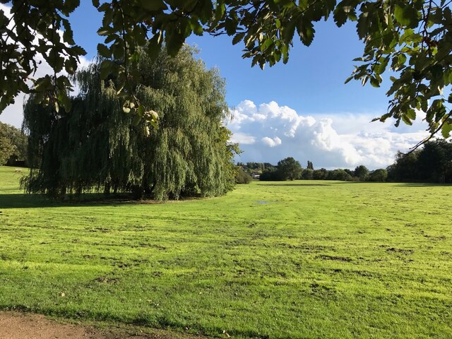
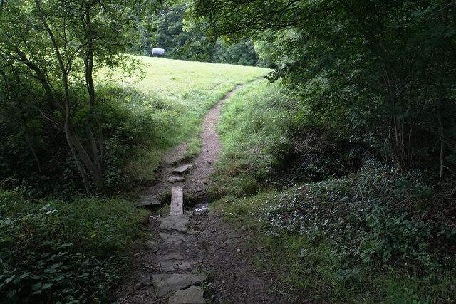
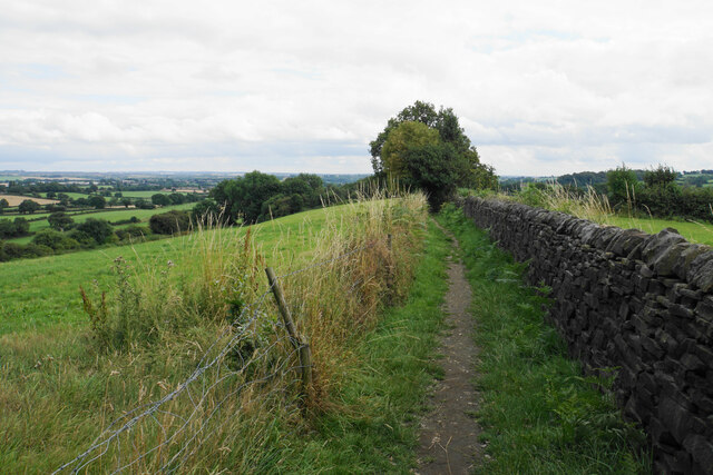
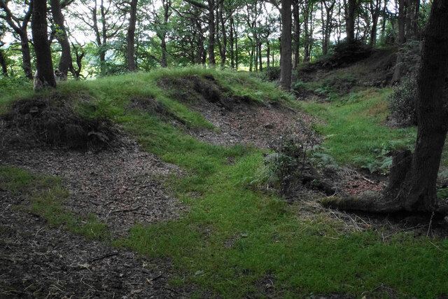
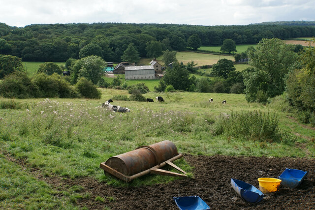
Britton Wood is a beautiful forest located in Derbyshire, England. It covers an area of approximately 120 acres and is a popular destination for nature lovers and outdoor enthusiasts. The woodland is characterized by its dense canopy of trees, diverse wildlife, and tranquil atmosphere.

The forest is primarily composed of broadleaf trees, including oak, beech, and ash, which create a vibrant and colorful landscape throughout the year. The forest floor is covered with a variety of wildflowers and ferns, adding to the wood's natural beauty. Britton Wood is also home to several species of birds, such as woodpeckers, owls, and various songbirds, making it a haven for birdwatchers.

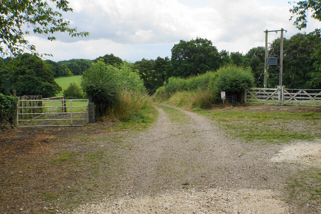
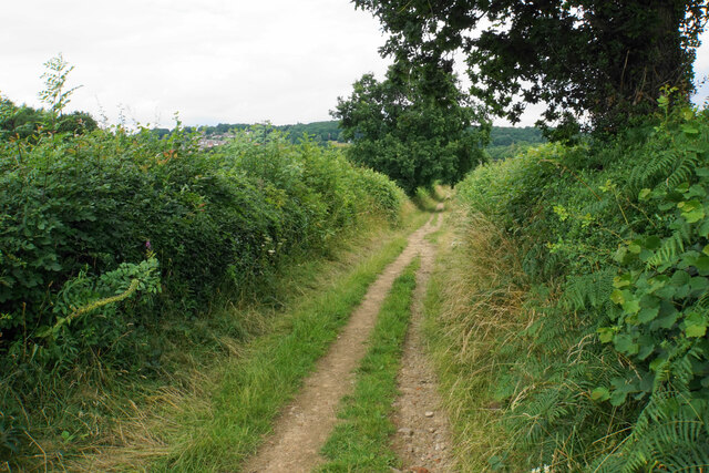
The forest is crisscrossed by a network of well-maintained walking trails, allowing visitors to explore its natural wonders at their own pace. These trails offer a range of difficulty levels, from easy strolls to more challenging hikes, catering to all ages and abilities. Along the way, visitors can enjoy picturesque views, spot wildlife, and listen to the soothing sounds of nature.

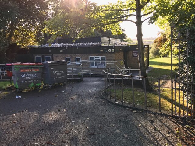
Britton Wood is a popular spot for picnicking, with several designated areas equipped with picnic tables and benches. It is also a favored location for nature photography, as the forest provides numerous opportunities to capture stunning shots of the flora and fauna.

Overall, Britton Wood is a serene and enchanting forest that offers a peaceful retreat from the hustle and bustle of everyday life. Whether one is seeking solitude, adventure, or simply a connection with nature, this woodland is a perfect destination.

If you have any feedback on the listing, please let us know in the comments section below.
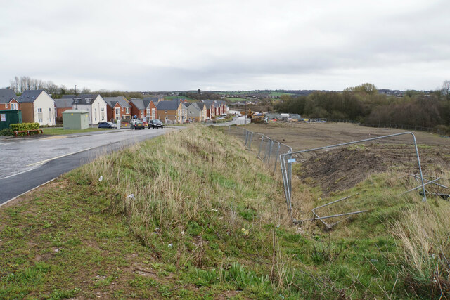
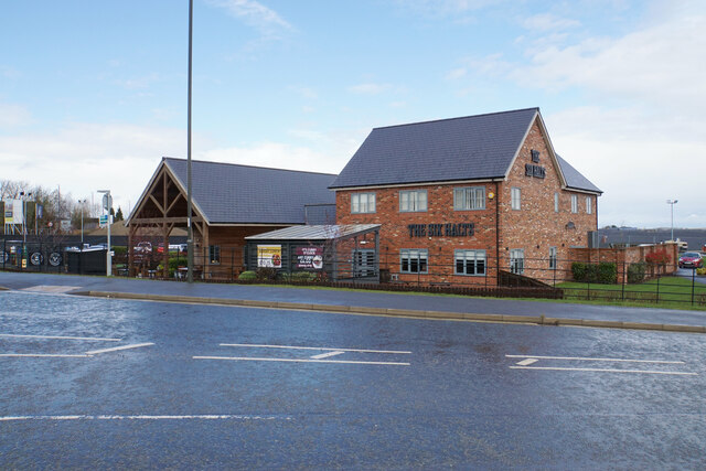
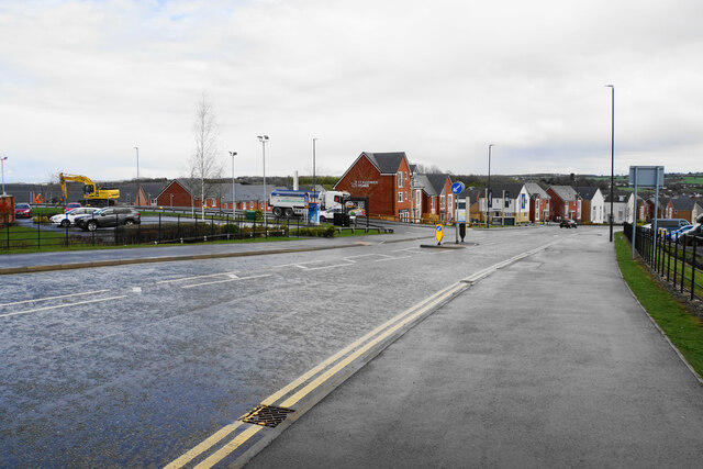
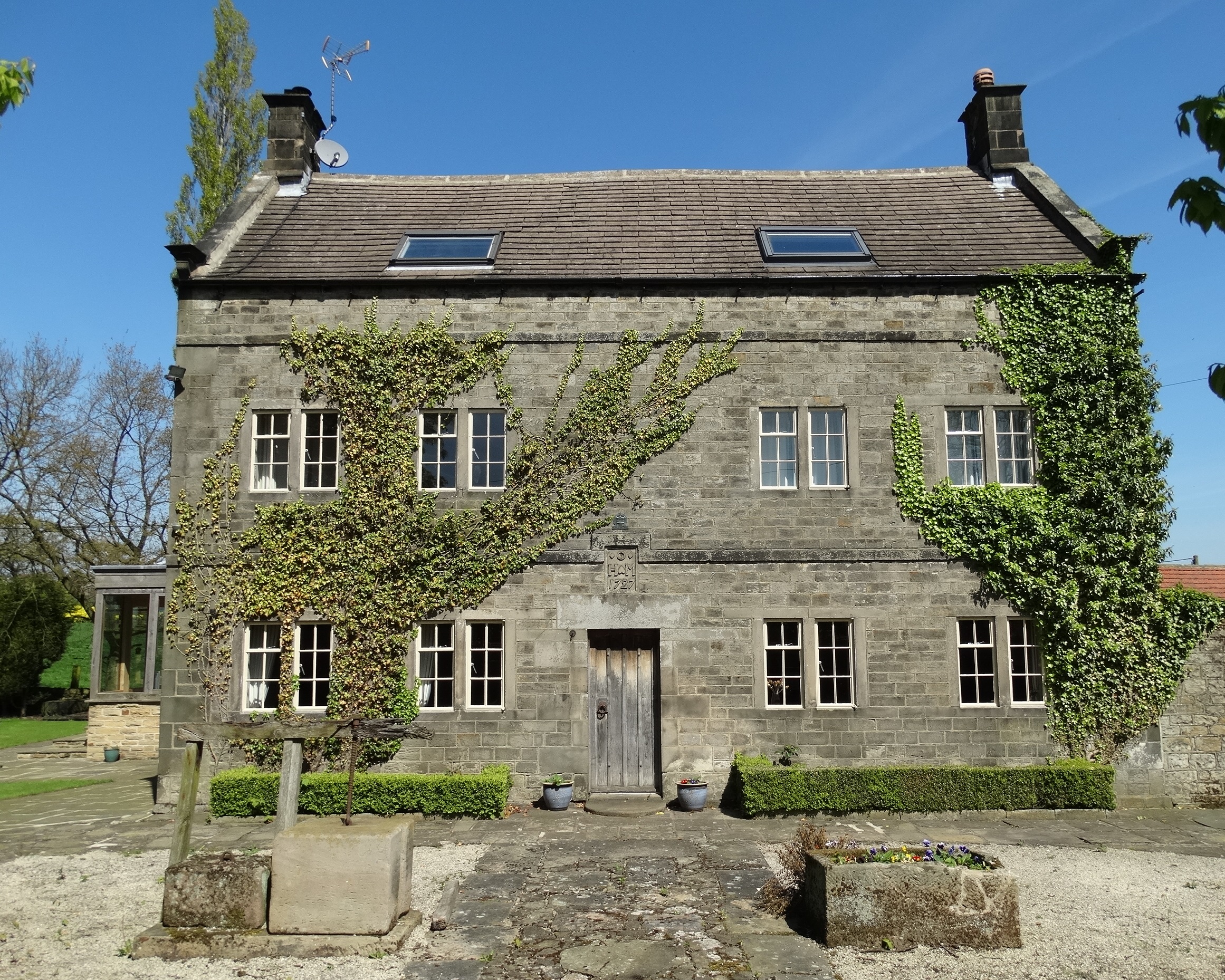
Britton Wood Images

Images are sourced within 2km of 53.176691/-1.4431039 or Grid Reference SK3764. Thanks to Geograph Open Source API. All images are credited.

Kenning Park
Kenning Park
Library near Kenning Park
Track at Nether Moor The track off Nethermoor Road is also a bridleway.
Track at Nether Moor
The track off Nethermoor Road is also a bridleway.
Ford near Nether Moor The track crosses Tricket Brook. There is a footbridge on the right to avoid getting your feet wet.
Ford near Nether Moor
The track crosses Tricket Brook. There is a footbridge on the right to avoid getting your feet wet.
Wet field entrance Grazing land with Hardwick Wood in the background.
Wet field entrance
Grazing land with Hardwick Wood in the background.
Track above Nether Moor A steady climb up with not much to be seen because of the hedgerows.
Track above Nether Moor
A steady climb up with not much to be seen because of the hedgerows.
Track down to Nether Moor You can get a tiny glimpse of some houses in Wingerworth.
Track down to Nether Moor
You can get a tiny glimpse of some houses in Wingerworth.
Crossing of paths above Old Tupton In addition to the paths, of which this one and the route left are bridleways, there is field access.
Crossing of paths above Old Tupton
In addition to the paths, of which this one and the route left are bridleways, there is field access.
Path to Bole Hill The path skirts round the top of Hardwick Wood.
Path to Bole Hill
The path skirts round the top of Hardwick Wood.
Footpath to Bole Hill Crossing a small tributary of Tricket Brook at the top of Hardwick Wood.
Footpath to Bole Hill
Crossing a small tributary of Tricket Brook at the top of Hardwick Wood.
Footpath on the Bole Hill ridge Slowly descending towards Clay Cross.
Footpath on the Bole Hill ridge
Slowly descending towards Clay Cross.
Remains of former quarrying on Bole Hill Small scale activity as opposed to the bigger quarry further down the hill.
Remains of former quarrying on Bole Hill
Small scale activity as opposed to the bigger quarry further down the hill.
Farm paraphernalia above Carr House Farm Looking down from Bole Hill.
Farm paraphernalia above Carr House Farm
Looking down from Bole Hill.
The Tupton Tap Public House in Old Tupton.
The Tupton Tap
Public House in Old Tupton.
Egstow Park New housing on the edge of Clay Cross.
Egstow Park
New housing on the edge of Clay Cross.
The Six Halts A new pub built in 2016 to go alongside other new development on the edge of Clay Cross.
The Six Halts
A new pub built in 2016 to go alongside other new development on the edge of Clay Cross.
New retail development on the edge of Clay Cross A small development on the corner of the new road Farnsworth Drive.
New retail development on the edge of Clay Cross
A small development on the corner of the new road Farnsworth Drive.
Farnsworth Drive A new road built to assist new development, mainly the new Egstow Park housing estate on the left.
Farnsworth Drive
A new road built to assist new development, mainly the new Egstow Park housing estate on the left.
Show me another place!

Britton Wood is located at Grid Ref: SK3764 (Lat: 53.176691, Lng: -1.4431039)

Administrative County: Derbyshire

District: North East Derbyshire

Police Authority: Derbyshire

What 3 Words

///committee.consults.toward. Near Wingerworth, Derbyshire

Nearby Locations

Britton Wood

Related Wikis

Clay Cross Town F.C.

Clay Cross Town Football Club is an English football club based in Clay Cross, Derbyshire. The club plays in the Northern Counties East League Division...

Holmgate

Holmgate is a hamlet and nearby housing estate between Clay Cross (where the population can be found) and Ashover, in the district of North East Derbyshire...
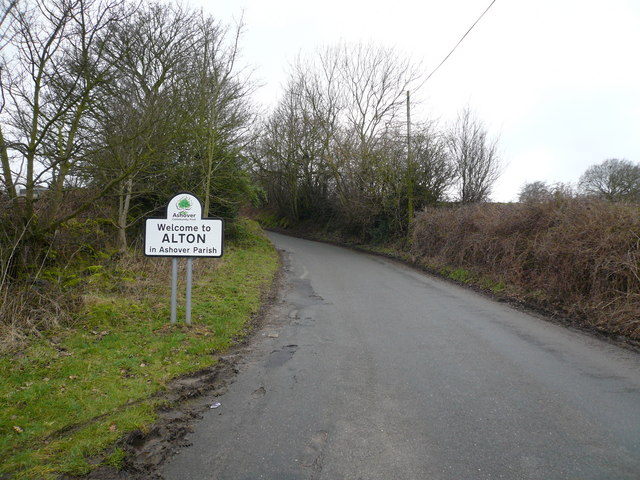
Alton, Derbyshire

Alton is a very small village in Derbyshire, England. Alton is in the civil parish of Ashover, and is around 2 miles away from Clay Cross although it is...

Holmgate railway station

Holmgate railway station was a small station on the Ashover Light Railway and it served the Holmgate area of Clay Cross, North East Derbyshire, England...

Chesterfield Road railway station

Chesterfield Road railway station was a small station on the Ashover Light Railway and it served the village of Old Tupton, near Clay Cross, North East...

Littlemoor, Derbyshire

Littlemoor is a small village near the town of Chesterfield. Its population is around 100. It is the closest village to Ashover Rock (otherwise known...

Old Tupton

Old Tupton is a village in Derbyshire, England. It is located on the A61 Derby road, near to Tupton, and to the south of Chesterfield. == External links... ==

Clay Lane railway station

Clay Lane railway station was a small station on the Ashover Light Railway and it served the western area of Clay Cross in North East Derbyshire, England...

Nearby Amenities

Located within 500m of 53.176691,-1.4431039
Bus Stop
Bus: yes
Public Transport: platform
Lat/Long: 53.1752044/-1.4405866
Bus Stop
Bus: yes
Public Transport: platform
Lat/Long: 53.1749035/-1.4404407
Post Box
Collection Times: Mo-Fr 09:00; Sa 07:00
Post Box Type: lamp
Ref: S42 368D
Royal Cypher: EIIR
Royal Cypher Wikidata: Q33102113
Lat/Long: 53.174306/-1.4375941
Barrier: stile
Lat/Long: 53.1743984/-1.4379008
Barrier: stile
Steps: 0
Stile: stepover
Lat/Long: 53.1784227/-1.4445268
Bus Stop
Bus: yes
Ele: 155.6179199
Public Transport: platform
Lat/Long: 53.1786939/-1.4382736
Ele: 161.6262207
Lat/Long: 53.1766973/-1.4489167
Ele: 161.6262207
Lat/Long: 53.1767366/-1.4487472
Ele: 163.3084717
Lat/Long: 53.1769615/-1.4481287
Barrier: stile
Steps: 0
Stile: stepover
Lat/Long: 53.1769545/-1.4480717
Barrier: stile
Ele: 165.9520264
Steps: 0
Stile: stepover
Lat/Long: 53.1772036/-1.4470813
Ele: 181.5733643
Lat/Long: 53.177914/-1.4445889
Barrier: stile
Steps: 1
Lat/Long: 53.1779142/-1.4445178
Barrier: stile
Steps: 0
Stile: stepover
Lat/Long: 53.1783393/-1.441944
Ele: 157
Lat/Long: 53.1779761/-1.4394773
Barrier: stile
Ele: 151
Stile: squeezer
Lat/Long: 53.1790415/-1.4368973
Barrier: kissing_gate
Ele: 149
Lat/Long: 53.1740832/-1.4432108
Barrier: cattle_grid
Lat/Long: 53.1740595/-1.4432454
Ele: 165.0000000
Lat/Long: 53.1770467/-1.4417407
Ele: 167
Lat/Long: 53.1752546/-1.4429142
Ele: 166
Lat/Long: 53.1754982/-1.4427875
Note: Mainly milk, but also other stuff
Shop: farm
Lat/Long: 53.1779147/-1.4388551
Barrier: entrance
Source: survey;gps
Lat/Long: 53.1752194/-1.4422181
Barrier: stile
Material: wood
Source: survey;gps
Stile: squeezer
Lat/Long: 53.1806117/-1.4455673
Generator Method: photovoltaic
Generator Output Electricity: yes
Generator Source: solar
Generator Type: solar_photovoltaic_panel
Location: roof
Power: generator
Lat/Long: 53.1748008/-1.4452815
Generator Method: photovoltaic
Generator Output Electricity: yes
Generator Source: solar
Generator Type: solar_photovoltaic_panel
Location: roof
Power: generator
Lat/Long: 53.1749118/-1.4453217
Generator Method: photovoltaic
Generator Output Electricity: yes
Generator Source: solar
Generator Type: solar_photovoltaic_panel
Location: roof
Power: generator
Lat/Long: 53.17487/-1.4480817
The data included in this document is from www.openstreetmap.org. The data is made available under ODbL.

Have you been to Britton Wood?

Leave your review of Britton Wood below (or comments, questions and feedback).