Ferrensby Plantation
Wood, Forest in Yorkshire Harrogate
England
Ferrensby Plantation
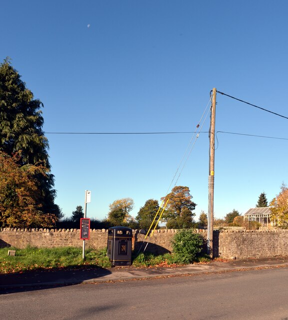
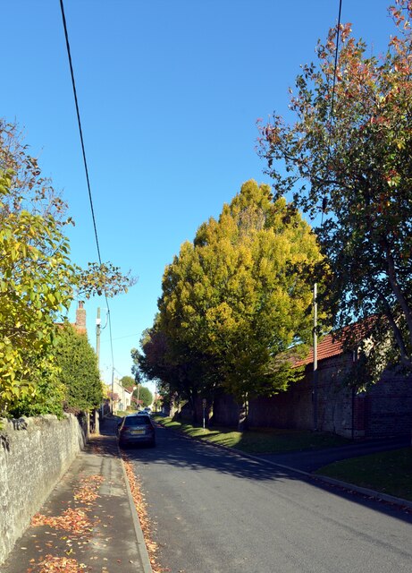
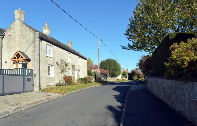
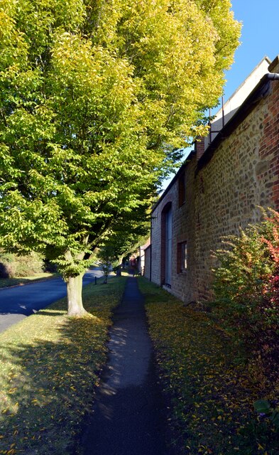
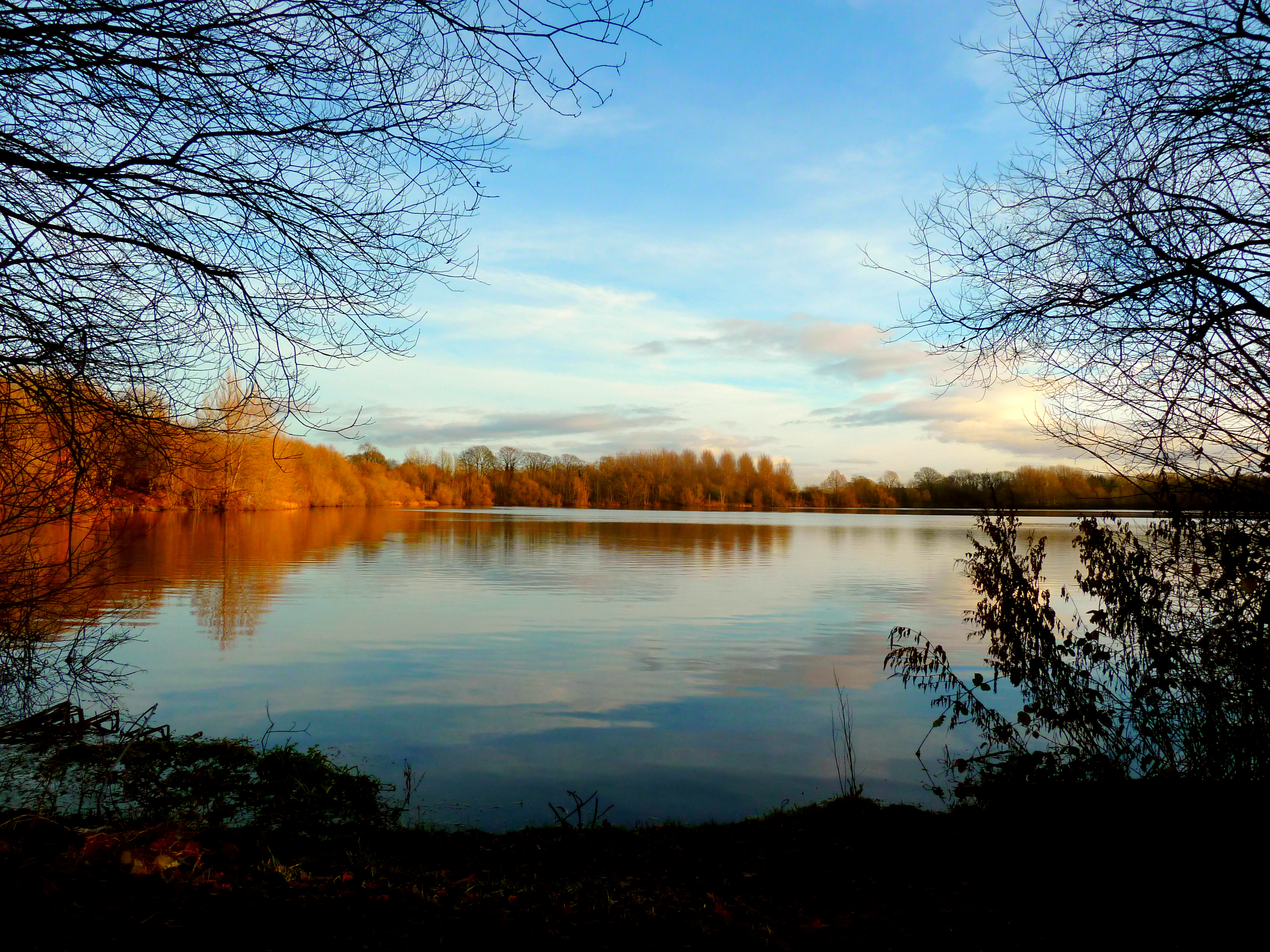
Ferrensby Plantation is a picturesque woodland located in the county of Yorkshire, England. Spanning over a vast area, it is situated near the village of Ferrensby, surrounded by rolling hills and charming countryside. This enchanting forest is a haven for nature lovers and offers a serene retreat from the hustle and bustle of city life.
The plantation is primarily composed of native deciduous trees, such as oak, beech, and ash, which create a diverse and vibrant ecosystem. The woodland floor is adorned with a carpet of wildflowers, including bluebells, primroses, and wood anemones, adding a burst of color to the landscape during springtime.
Ferrensby Plantation is renowned for its rich biodiversity, attracting a wide array of wildlife. It serves as a habitat for various bird species, including woodpeckers, warblers, and owls, making it a popular spot for birdwatching enthusiasts. The forest also supports a thriving population of mammals, such as foxes, badgers, and deer, which can often be spotted by lucky visitors.
The woodland offers numerous walking trails, allowing visitors to explore its beauty at their own pace. These well-maintained paths wind through the trees, revealing stunning panoramic views of the surrounding countryside. Additionally, there are picnic areas scattered throughout the plantation, providing the perfect opportunity for visitors to relax and enjoy a picnic amidst nature's tranquility.
Ferrensby Plantation truly offers a magical experience for all who visit. Its natural beauty, diverse wildlife, and peaceful atmosphere make it a must-visit destination for nature enthusiasts and those seeking a peaceful escape in the heart of Yorkshire.
If you have any feedback on the listing, please let us know in the comments section below.
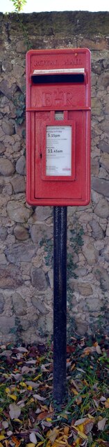
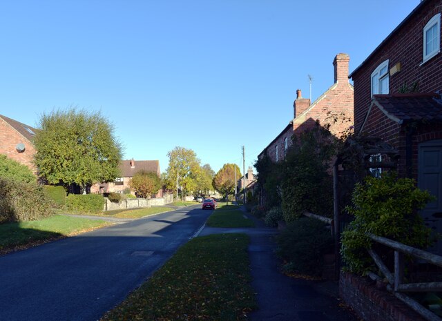
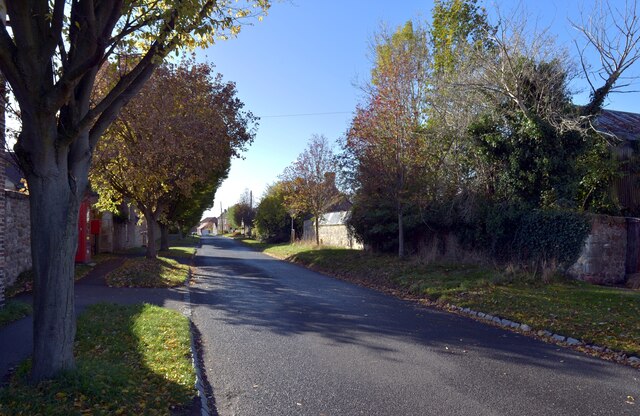
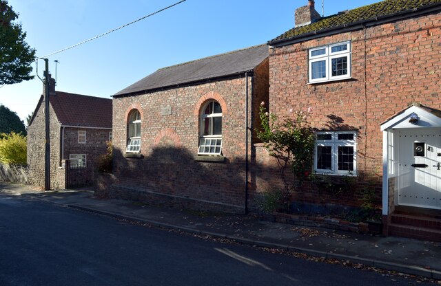
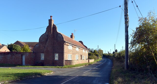
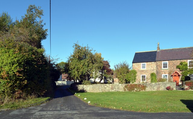
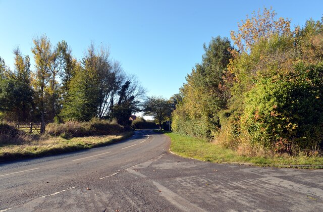
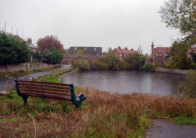
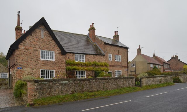
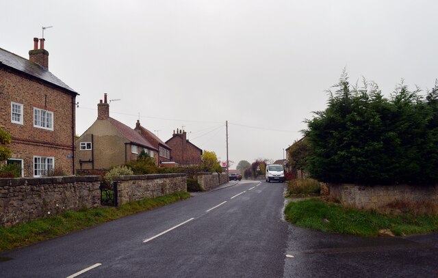
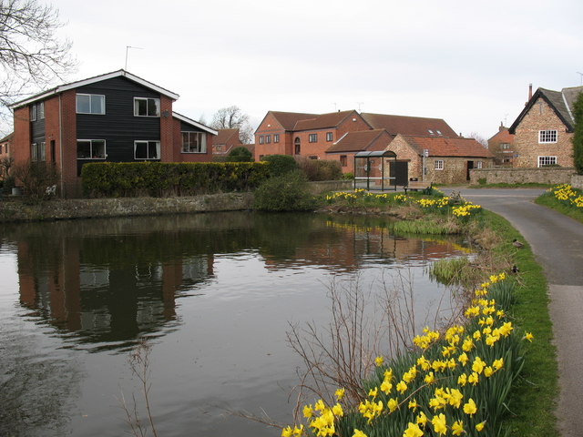
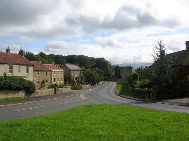
Ferrensby Plantation Images
Images are sourced within 2km of 54.043611/-1.4337989 or Grid Reference SE3760. Thanks to Geograph Open Source API. All images are credited.
Ferrensby Plantation is located at Grid Ref: SE3760 (Lat: 54.043611, Lng: -1.4337989)
Division: West Riding
Administrative County: North Yorkshire
District: Harrogate
Police Authority: North Yorkshire
What 3 Words
///skippers.enrolling.counters. Near Knaresborough, North Yorkshire
Nearby Locations
Related Wikis
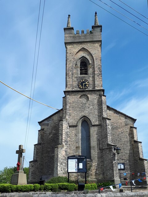
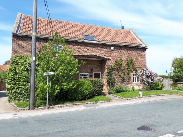
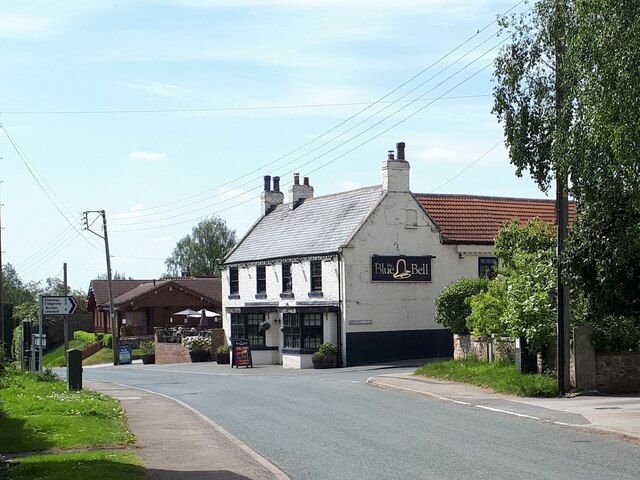
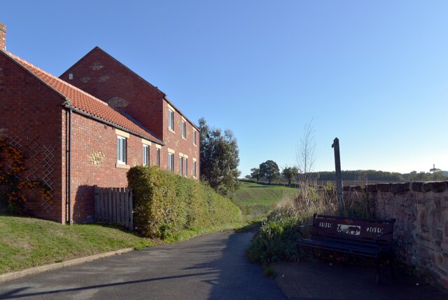
Ferrensby
Ferrensby is a village and civil parish in the Harrogate district of North Yorkshire, England. The population of the civil parish at the 2011 census was...

Copgrove railway station
Copgrove railway station served the village of Copgrove, North Yorkshire, England from 1875 to 1964 on the Pilmoor, Boroughbridge and Knaresborough Railway...

Arkendale
Arkendale is a village and civil parish in the Harrogate district of North Yorkshire, England. It is 6 miles (10 km) north-east of Harrogate town, and...

Staveley, North Yorkshire
Staveley is a village and civil parish in the Harrogate district of North Yorkshire, England. It is situated 4 miles (6.4 km) north of Knaresborough and...
Farnham, North Yorkshire
Farnham is a village and civil parish in the Harrogate district of North Yorkshire, England. It is situated 2 miles (3.2 km) north of Knaresborough....

Copgrove
Copgrove is a village and civil parish in the Harrogate district of North Yorkshire, England, five miles (8 km) south-west of Boroughbridge and the A1...
Hay-a-Park Gravel Pit
Hay-a-Park Gravel Pit is a Site of Special Scientific Interest, or SSSI, adjacent to the east side of the town of Knaresborough, North Yorkshire, England...

Scriven
Scriven is a village and civil parish in the Harrogate district of North Yorkshire, England, close to the town of Knaresborough. From 1947 to 1998 Scriven...
Nearby Amenities
Located within 500m of 54.043611,-1.4337989Have you been to Ferrensby Plantation?
Leave your review of Ferrensby Plantation below (or comments, questions and feedback).