Bridgefield Wood

Wood, Forest in Derbyshire North East Derbyshire

England

Bridgefield Wood

Roundabout in Coal Aston. Starting point for our Dronfield 2000 rotary walk.
Roundabout in Coal Aston. Credit: steven ruffles

Bridgefield Wood is a picturesque woodland located in Derbyshire, England. Covering an area of approximately 50 acres, it is a popular destination for nature enthusiasts and hikers alike. The wood is situated near the small village of Bridgefield, which adds to its charm and tranquility.

The wood is primarily composed of native British trees such as oak, beech, and birch, creating a diverse and rich ecosystem. Walking through the wood, visitors can enjoy the sight of vibrant wildflowers and hear the songs of various bird species, including woodpeckers and thrushes. The forest floor is covered with a lush carpet of moss and ferns, adding to its enchanting atmosphere.

A network of well-maintained footpaths and trails crisscross the wood, offering visitors the opportunity to explore its beauty at their own pace. The paths wind through the trees, occasionally opening up to reveal stunning views of the surrounding countryside. There are also several wooden benches strategically placed along the trails, providing a perfect spot for rest and contemplation.

Bridgefield Wood is home to a rich variety of wildlife. Squirrels can be spotted darting between the trees, while rabbits and foxes occasionally make appearances. The wood also provides a habitat for a diverse range of insects, including butterflies and dragonflies.

Managed by the local authorities, Bridgefield Wood is a cherished natural treasure in Derbyshire. Its peaceful and idyllic setting makes it a perfect destination for a leisurely stroll, birdwatching, or simply reconnecting with nature.

If you have any feedback on the listing, please let us know in the comments section below.

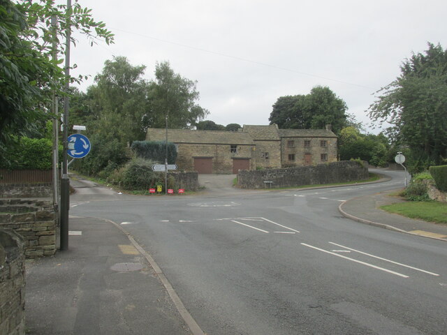
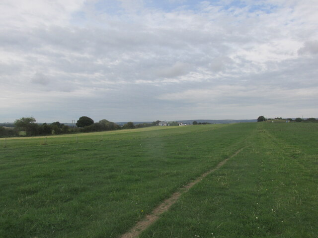
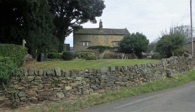
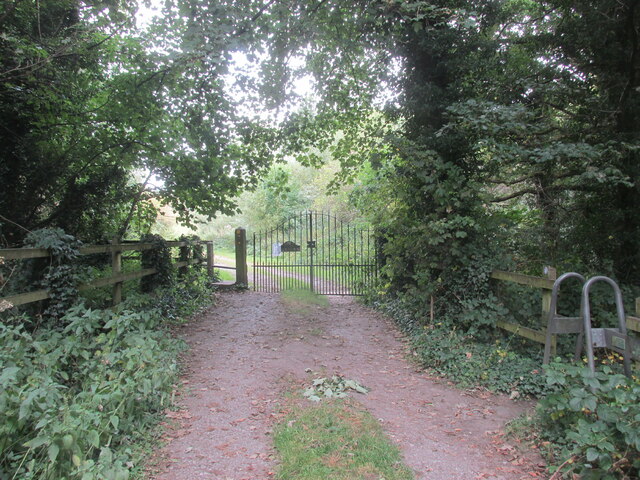
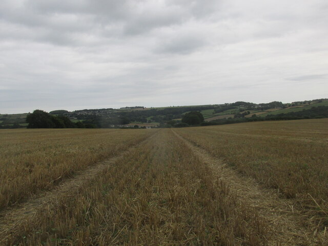
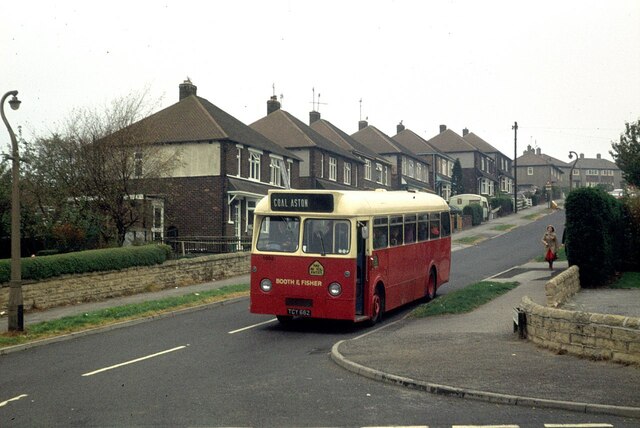
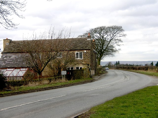
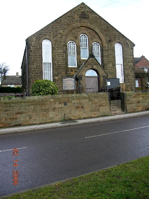
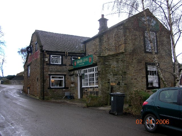
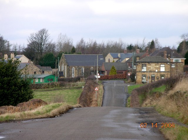
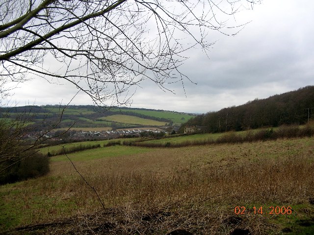
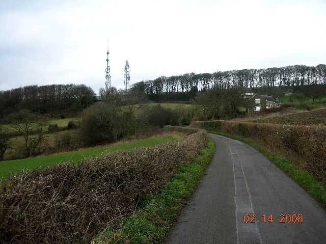
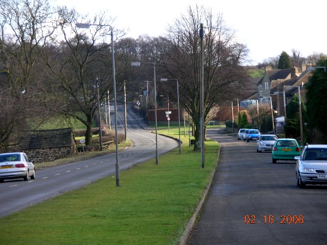
Bridgefield Wood Images

Images are sourced within 2km of 53.298441/-1.4439378 or Grid Reference SK3778. Thanks to Geograph Open Source API. All images are credited.

Roundabout in Coal Aston. Starting point for our Dronfield 2000 rotary walk.
Roundabout in Coal Aston.
Starting point for our Dronfield 2000 rotary walk.
Landing strip. Small airfield near Summerley.
Landing strip.
Small airfield near Summerley.
Old farmhouse in Summerley. Along the Dronfield 2000 rotary walk.
Old farmhouse in Summerley.
Along the Dronfield 2000 rotary walk.
The River Drone. A very small river.
The River Drone.
A very small river.
Gateway to open country. Dronfield 2000 rotary walk.
Gateway to open country.
Dronfield 2000 rotary walk.
Crossfield path. Dronfield 2000 rotary walk.
Crossfield path.
Dronfield 2000 rotary walk.
Booth and Fisher bus at Dronfield -1978 Booth and Fisher was a family bus business operating out of Halfway near Sheffield. By this time it had already been sold (in 1975) to the South Yorkshire Passenger Transport Executive, as indicated by the 4-digit fleet number, although it was some time before all vehicles were repainted into SYPTE brown and cream livery.

TCY662 was bought second hand from South Wales Transport in 1972, and is an AEC Reliance with Marshall bodywork, new in 1962.

This is one of a series of views featuring buses in the 60s, 70s, and 80s. <a title="https://www.geograph.org.uk/search.php?i=137652761" href="https://www.geograph.org.uk/search.php?i=137652761">Link</a>
Booth and Fisher bus at Dronfield -1978
Booth and Fisher was a family bus business operating out of Halfway near Sheffield. By this time it had already been sold (in 1975) to the South Yorkshire Passenger Transport Executive, as indicated by the 4-digit fleet number, although it was some time before all vehicles were repainted into SYPTE brown and cream livery. TCY662 was bought second hand from South Wales Transport in 1972, and is an AEC Reliance with Marshall bodywork, new in 1962. This is one of a series of views featuring buses in the 60s, 70s, and 80s. Link
Black A'Moor Inn near Troway in NE Derbyshire
Snowden Farm, Troway, NE Derbyshire View from the car park of the Black A'Moor Inn on Snowden Lane looking north towards Coal Aston & Sheffield.
Snowden Farm, Troway, NE Derbyshire
View from the car park of the Black A'Moor Inn on Snowden Lane looking north towards Coal Aston & Sheffield.
Apperknowle Methodist Church, NE Derbyshire
Miner's Arms at Hundall in NE Derbyshire
Apperknowle in NE Derbyshire General View of Apperknowle from the south. Traveller's Rest Inn on the right.
Apperknowle in NE Derbyshire
General View of Apperknowle from the south. Traveller's Rest Inn on the right.
View towards Unstone in NE Derbyshire
TV masts at Hundall in NE Derbyshire
New Road, Apperknowle in NE Derbyshire This view is looking north from the top of Unstone Hill (New Road)
New Road, Apperknowle in NE Derbyshire
This view is looking north from the top of Unstone Hill (New Road)
Apperknowle in NE Derbyshire This is a westerly view looking down New Road towards Unstone.
Apperknowle in NE Derbyshire
This is a westerly view looking down New Road towards Unstone.
Hundall Lane, Hundall in NE Derbyshire
Coal Aston near Sheffield This view is looking east along Eckington Road in the direction of Chesterfield.
Coal Aston near Sheffield
This view is looking east along Eckington Road in the direction of Chesterfield.
Show me another place!

Bridgefield Wood is located at Grid Ref: SK3778 (Lat: 53.298441, Lng: -1.4439378)

Administrative County: Derbyshire

District: North East Derbyshire

Police Authority: Derbyshire

What 3 Words

///input.resort.worm. Near Dronfield, Derbyshire

Nearby Locations

Bridgefield Wood Summerley

Related Wikis

Apperknowle

Apperknowle is a village in Derbyshire, England. The village is located on the Southwestern slopes of a flat-topped ridge at about 200 m above sea level...

Unstone railway station

Unstone railway station was a station in Derbyshire, England. It was built by the Midland Railway in 1870 and was designed by the company architect John...

Dronfield Town F.C.

Dronfield Town Football Club is a football club based in Dronfield, Derbyshire, England. They are currently members of the Northern Counties East League...
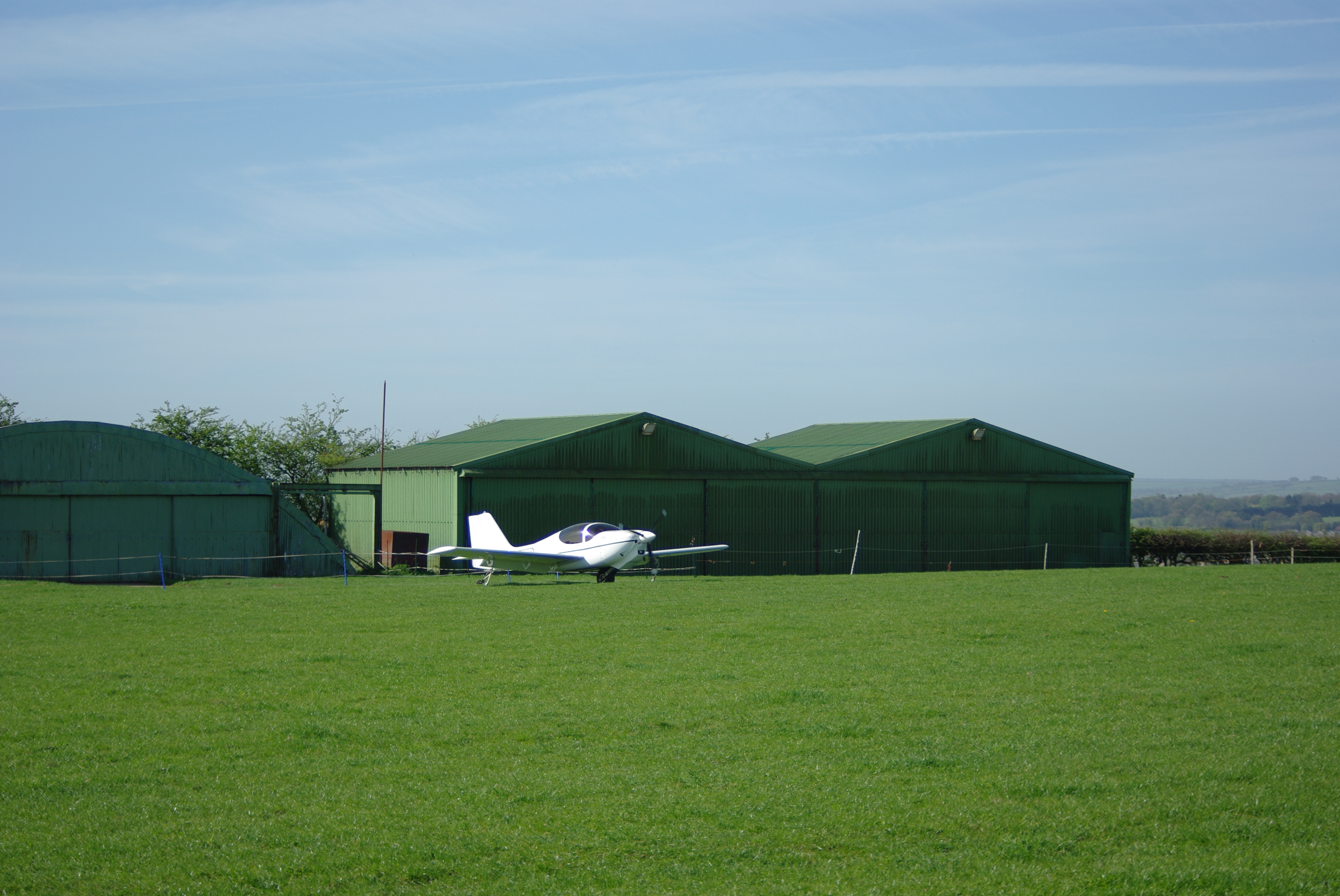
Coal Aston Airfield

Coal Aston Airfield (ICAO: EGCA), also known as Apperknowle Airstrip, is a general aviation airfield located in the village Apperknowle, Derbyshire, 5...

Hundall

Hundall is a hamlet in North East Derbyshire in the county of Derbyshire in England. == Location == West Handley lies just south of the village of Apperknowle...

Dronfield Henry Fanshawe School

The Dronfield Henry Fanshawe School is a mixed, state comprehensive school for 11- to 18-year-olds, in the town of Dronfield, Derbyshire, United Kingdom...

Quoit Green

Quoit Green is an area of settlement in Derbyshire, England. It is located in Dronfield, close to the B6057 Chesterfield Road.

Dronfield

Dronfield is a town in North East Derbyshire, England, which includes Dronfield Woodhouse and Coal Aston. It lies in the valley of the River Drone between...

Nearby Amenities

Located within 500m of 53.298441,-1.4439378
Barrier: stile
Ele: 145.0000000
Steps: 2
Stile: stepover
Lat/Long: 53.3018151/-1.4441233
Barrier: stile
Ele: 122.0000000
Steps: 2
Stile: stepover
Lat/Long: 53.2997324/-1.445561
Ele: 109.0000000
Lat/Long: 53.2981988/-1.4466569
Barrier: stile
Ele: 111.0000000
Steps: 0
Stile: stepover
Lat/Long: 53.2978708/-1.4469253
Ele: 109.0000000
Lat/Long: 53.297817/-1.4469793
Barrier: stile
Steps: 2
Stile: stepover
Lat/Long: 53.2971219/-1.4480246
Ele: 96.0000000
Lat/Long: 53.295409/-1.4486241
Ele: 96.0000000
Lat/Long: 53.2954194/-1.4486428
Ele: 107.0000000
Lat/Long: 53.2973712/-1.4472012
Ele: 96.0000000
Lat/Long: 53.2954411/-1.4483357
Ele: 96.0000000
Lat/Long: 53.2948053/-1.4473822
Barrier: kissing_gate
Ele: 137.0000000
Lat/Long: 53.2946826/-1.4409586
Ele: 136.0000000
Lat/Long: 53.2947246/-1.440989
Ele: 136.0000000
Lat/Long: 53.2947742/-1.4408852
Ele: 141.0000000
Lat/Long: 53.296998/-1.4380532
Barrier: stile
Ele: 142.0000000
Steps: 1
Stile: stepover
Lat/Long: 53.297677/-1.4367349
Ele: 140.0000000
Lat/Long: 53.2967498/-1.4385241
Bench
Lat/Long: 53.2969905/-1.4490752
Metapic Wood
Tourism: picnic_site
Lat/Long: 53.2969133/-1.4484355
Bench
Backrest: no
Lat/Long: 53.2969864/-1.4484893
Bench
Backrest: yes
Lat/Long: 53.2962707/-1.4487741
Bench
Backrest: no
Lat/Long: 53.2968261/-1.4484111
Bench
Backrest: no
Lat/Long: 53.2958019/-1.4488663
Barrier: kissing_gate
Lat/Long: 53.294795/-1.4415815
Historic: memorial
Lat/Long: 53.2970848/-1.4486278
Barrier: stile
Lat/Long: 53.2955311/-1.4471999
Information: board
Tourism: information
Lat/Long: 53.2960507/-1.4472322
Noexit: yes
Lat/Long: 53.2958299/-1.446738
Bench
Backrest: no
Lat/Long: 53.2959957/-1.4472771
Bench
Lat/Long: 53.2968389/-1.447153
The data included in this document is from www.openstreetmap.org. The data is made available under ODbL.

Have you been to Bridgefield Wood?

Leave your review of Bridgefield Wood below (or comments, questions and feedback).