Brierley Wood
Wood, Forest in Derbyshire Chesterfield
England
Brierley Wood

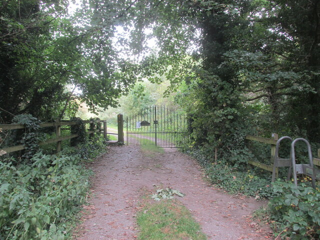
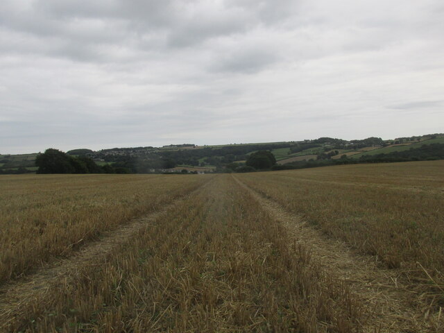
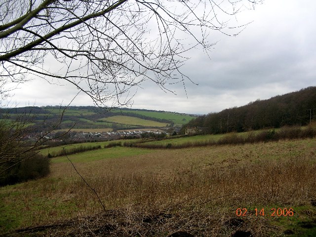
Brierley Wood is a picturesque woodland located in Derbyshire, England. This enchanting forest covers an area of approximately 100 acres and is a popular destination for nature lovers and outdoor enthusiasts. The wood is situated near the village of Brierley, hence its name, and is easily accessible by foot or by car.
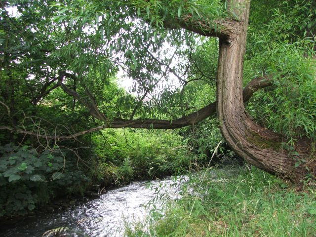
Brierley Wood is known for its diverse ecosystem and rich biodiversity. It is home to a wide range of tree species, including oak, beech, ash, and birch. The forest floor is covered in a lush carpet of ferns, wildflowers, and moss, adding to the beauty and tranquility of the surroundings.
The wood offers a network of well-maintained trails, making it a perfect spot for walking, jogging, or cycling. Visitors can explore the winding paths, breathing in the fresh woodland air and enjoying the peaceful ambiance. In addition, the wood also provides a habitat for various bird species, making it a popular spot for birdwatching.
Brierley Wood is an important conservation area, with efforts being made to protect and preserve its natural beauty. The wood is managed by local authorities and conservation organizations, ensuring that it remains a haven for wildlife and a cherished recreational space for visitors.
Overall, Brierley Wood is a true gem in Derbyshire, offering a serene escape from the hustle and bustle of everyday life. Whether you are seeking a peaceful walk in nature, a chance to spot wildlife, or simply a moment of tranquility, Brierley Wood is a must-visit destination.
If you have any feedback on the listing, please let us know in the comments section below.
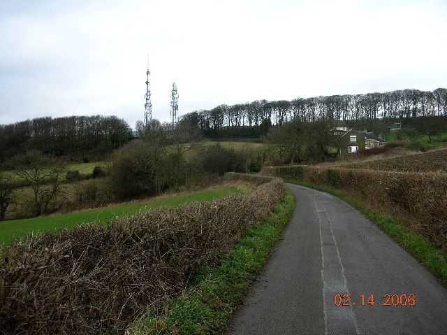
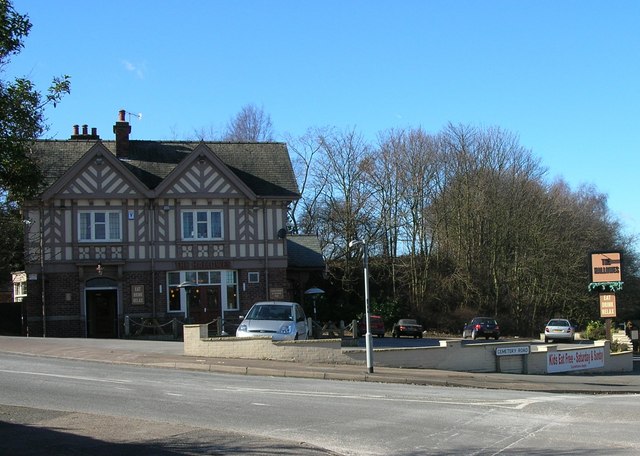
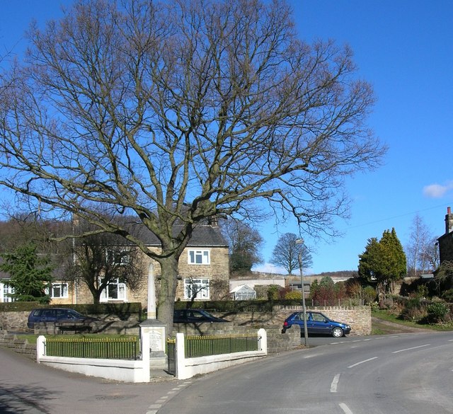
Brierley Wood Images
Images are sourced within 2km of 53.282571/-1.4449987 or Grid Reference SK3776. Thanks to Geograph Open Source API. All images are credited.


Brierley Wood is located at Grid Ref: SK3776 (Lat: 53.282571, Lng: -1.4449987)
Administrative County: Derbyshire
District: Chesterfield
Police Authority: Derbyshire
What 3 Words
///police.jeeps.cube. Near Dronfield, Derbyshire
Nearby Locations
Related Wikis

Unstone
Unstone ( UN-stən) is a village and civil parish in the English county of Derbyshire, in the North East Derbyshire administrative district approximately...

Unstone railway station
Unstone railway station was a station in Derbyshire, England. It was built by the Midland Railway in 1870 and was designed by the company architect John...
River Drone
The River Drone is a river which flows south from its source on the Sheffield, South Yorkshire, border. It flows through Dronfield, Unstone and Unstone...
Broomhouse Tunnel
Broomhouse Tunnel was on the Midland Main Line between Chesterfield and Sheffield. It was built by the Midland Railway in 1870 on what is known to railwaymen...
Peak FM (North Derbyshire)
Peak FM was an Independent Local Radio station serving north Derbyshire. The station was folded into Greatest Hits Radio Yorkshire, as part of a rebrand...
Hundall
Hundall is a hamlet in North East Derbyshire in the county of Derbyshire in England. == Location == West Handley lies just south of the village of Apperknowle...
Whittington Green School
Whittington Green School (formerly The Meadows Community School) is a mixed secondary school located in Old Whittington, Chesterfield in the English county...

Apperknowle
Apperknowle is a village in Derbyshire, England. The village is located on the Southwestern slopes of a flat-topped ridge at about 200 m above sea level...
Related Videos
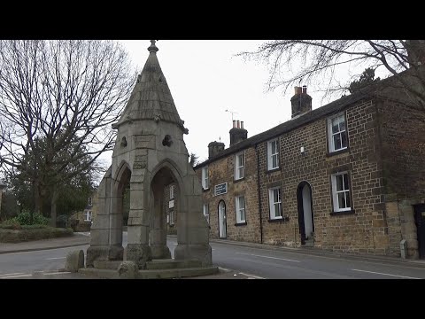
197: Dronfield, Barlow and Cowley (North East Derbyshire 2023)
NORTH EAST DERBYSHIRE WALK FEATURING DRONFIELD, BARLOW AND COWLEY "Dronfield, Barlow and Cowley” Filmed ...
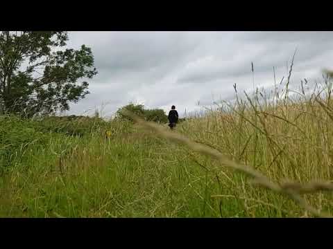
Dog height walking at New whittington July 2020
Using my selfie stick at the dogs level.
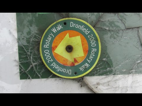
Dronfield 2000 Rotary Walk
This weekend we did a walk around the small town of Dronfield in North east Derbyshire...A good days walking.
Nearby Amenities
Located within 500m of 53.282571,-1.4449987Have you been to Brierley Wood?
Leave your review of Brierley Wood below (or comments, questions and feedback).